• About JacobBarlow.com
  • Cemeteries in Utah
  • D.U.P. Markers
  • Doors
  • Exploring Utah Email List
  • Geocaching
  • Historic Marker Map
  • Links
  • Movie/TV Show Filming Locations
  • Oldest in Utah
  • Other Travels
  • Photos Then and Now
  • S.U.P. Markers
  • U.P.T.L.A. Markers
  • Utah Cities and Places.
  • Utah Homes for Sale
  • Utah Treasure Hunt

JacobBarlow.com

~ Exploring with Jacob Barlow

JacobBarlow.com

Tag Archives: Ghost Towns

Grafton, Utah

10 Friday Mar 2017

Posted by Jacob Barlow in Uncategorized

≈ 2 Comments

Tags

Ghost Towns, Grafton, historic, Historic Buildings, Historic Churches, Rockville, Washington County

2017-03-04 13.49.48

Grafton Posts:

  •  
  • Grafton Cemetery
  • Rockville
  • Russell Home (Alonzo and Nancy)
  • Russell Home (Louisa) 
  • Wood Home (George)
  • Wood Home (John and Ellen)

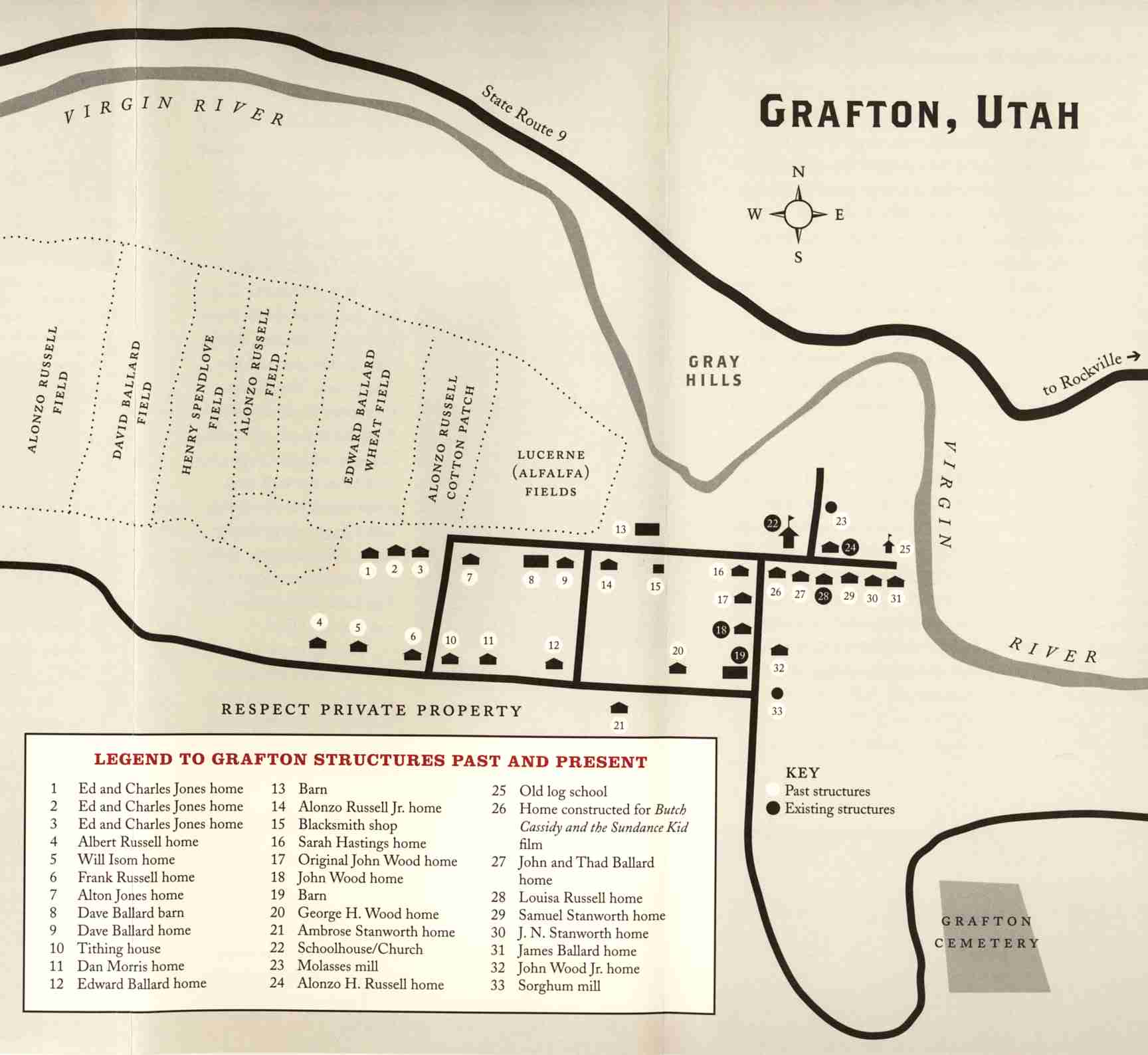
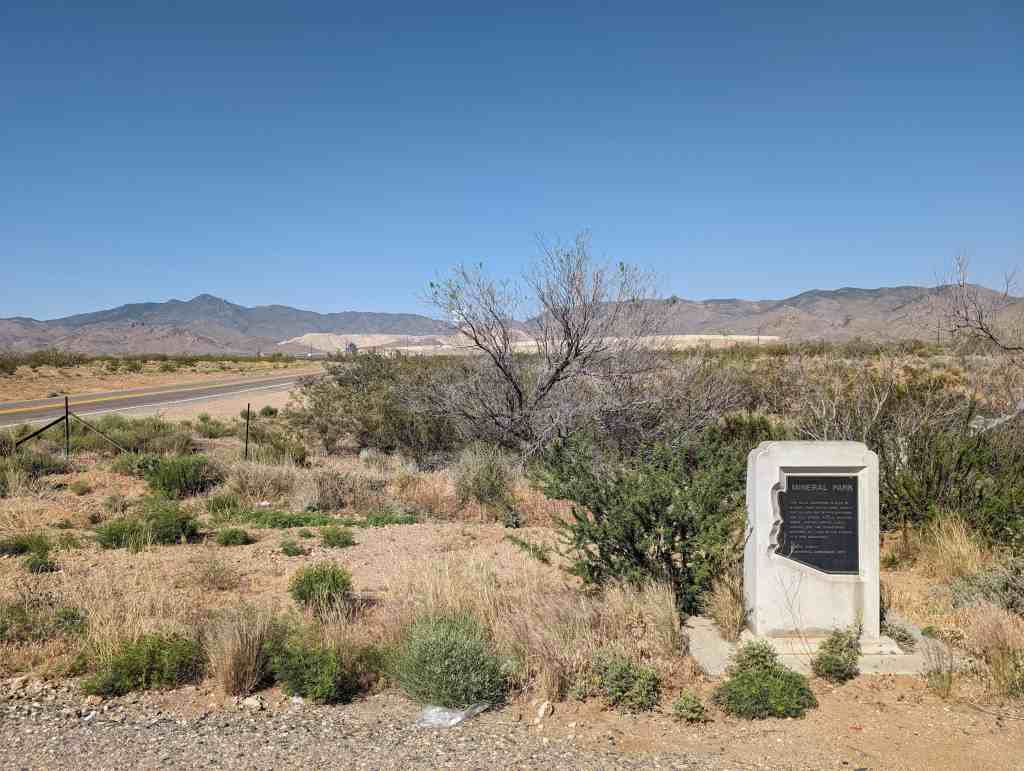
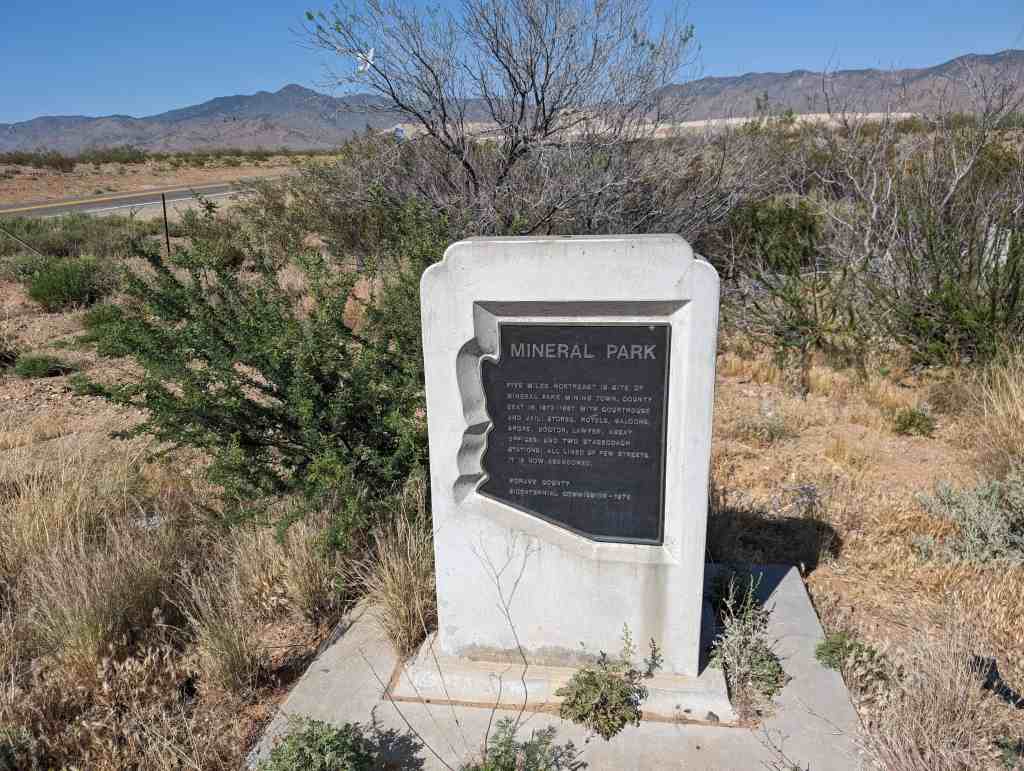
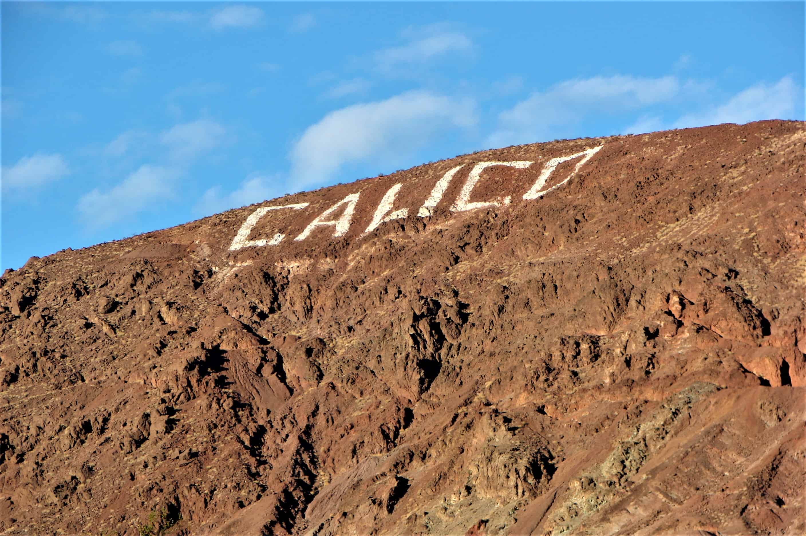
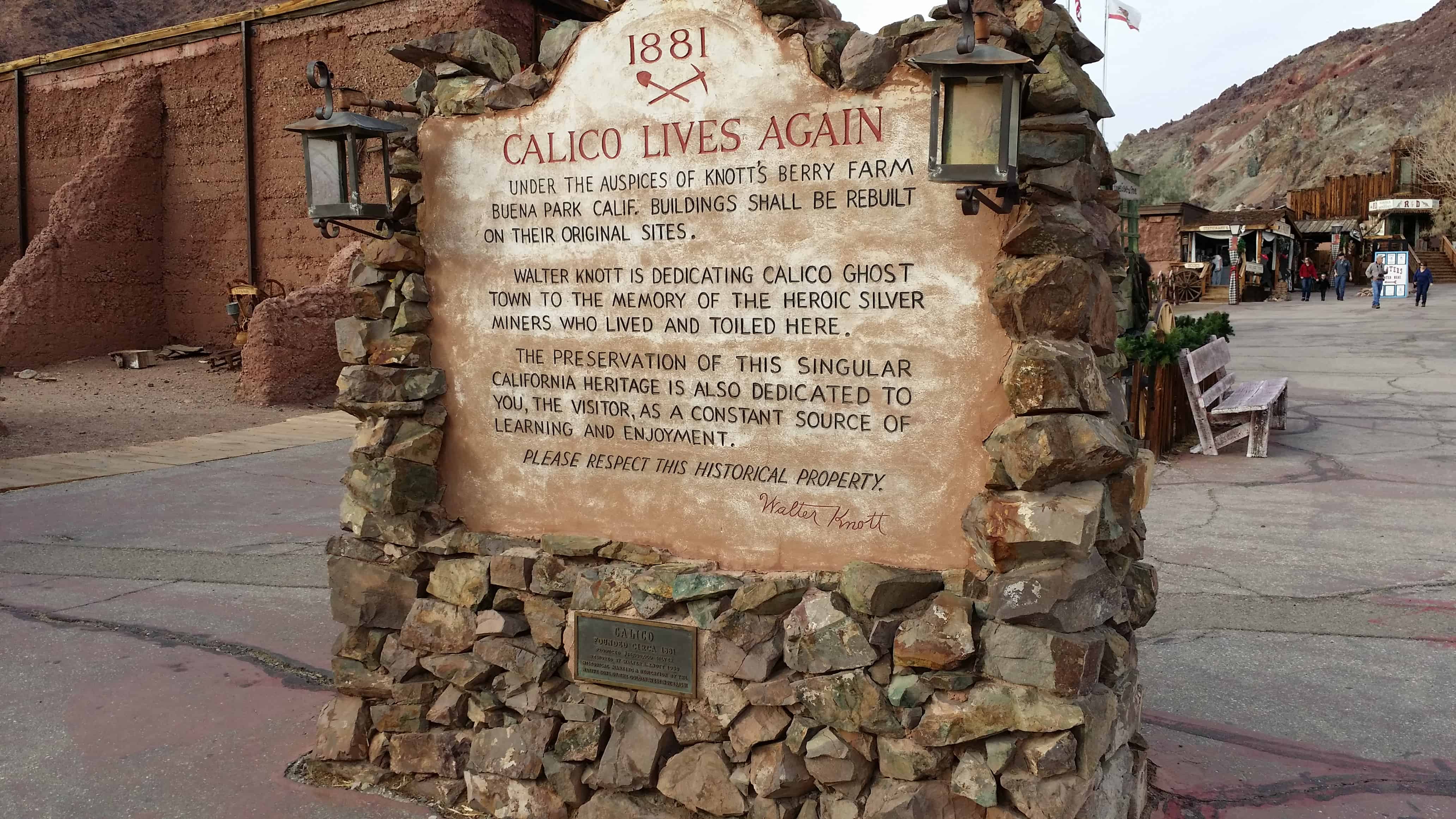
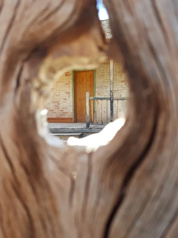
Grafton is a ghost town, just south of Zion National Park in Washington County. It is said to be the most photographed ghost town in the West and it has been featured as a location in several films, including 1929’s In Old Arizona—the first talkie filmed outdoors—and the classic Butch Cassidy and the Sundance Kid. The nearest inhabited town is Rockville.

2017-03-04 13.52.04

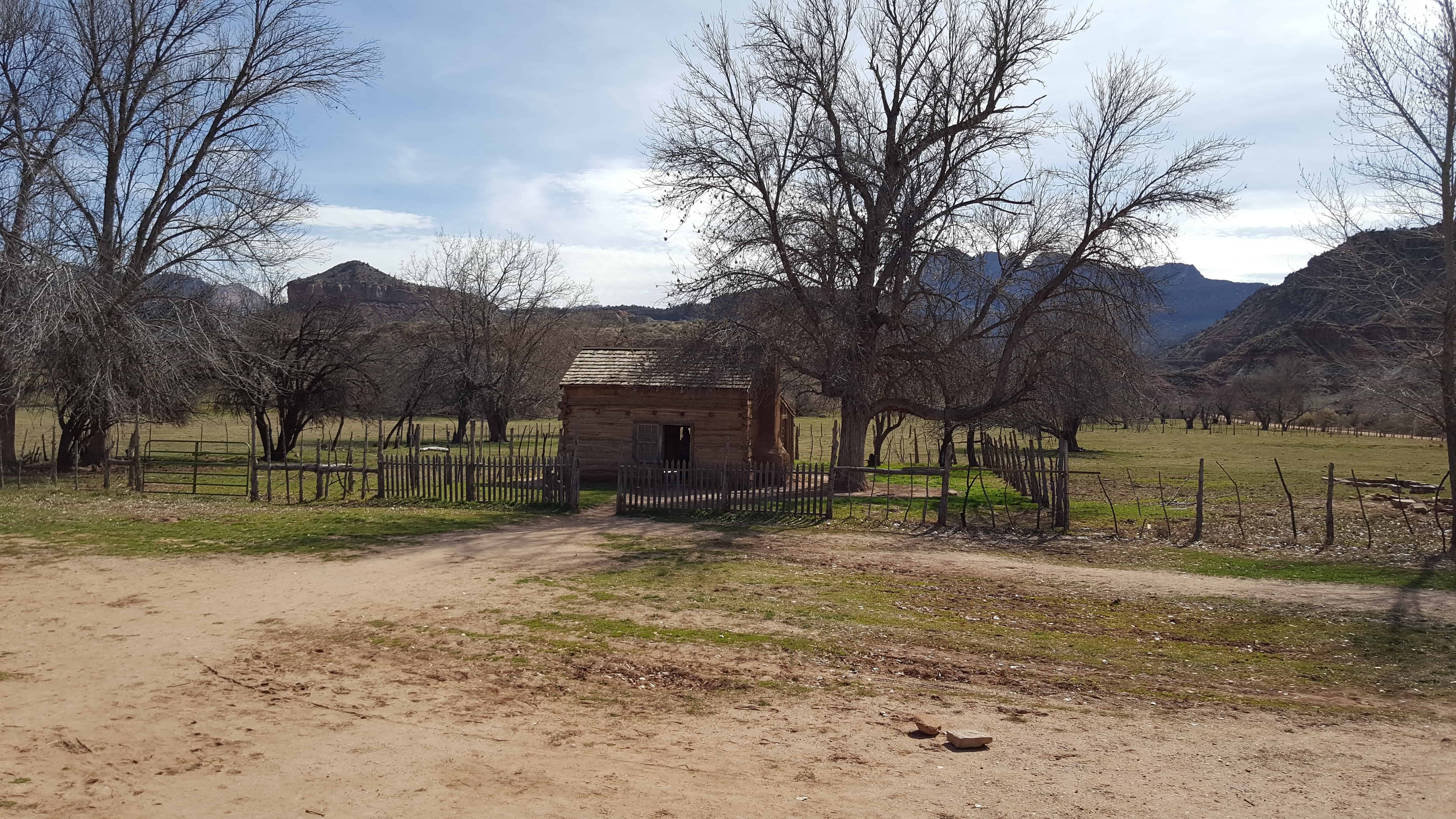
The site was first settled in December 1859 as part of a southern Utah cotton-growing project ordered by Brigham Young. A group from Virgin led by Nathan Tenney established a new settlement they called Wheeler. Wheeler didn’t last long; it was largely destroyed on the night of January 8, 1862 by a weeks-long flood of the Virgin River, part of the Great Flood of 1862. The rebuilt town, about a mile upriver, was named New Grafton, after Grafton, Massachusetts.(*)

2017-03-04 13.51.24

The town grew quickly in its first few years. There were some 28 families by 1864, each farming about an acre of land. The community also dug irrigation canals and planted orchards, some of which still exist. Grafton was briefly the county seat of Kane County, from January 1866 to January 12, 1867, but changes to county boundaries in 1882 placed it in Washington County.

2017-03-04 13.56.29

Flooding was not the only major problem. One particular challenge to farming was the large amounts of silt in Grafton’s section of the Virgin River. Residents had to dredge out clogged irrigation ditches at least weekly, much more often than in most other settlements. Grafton was also relatively isolated from neighboring towns, being the only community in the area located on the south bank of the river. In 1866, when the outbreak of the Black Hawk War caused widespread fear of Indian attacks, the town was completely evacuated to Rockville.

2017-03-04 14.16.55

Continued severe flooding discouraged resettlement, and most of the population moved permanently to more accessible locations on the other side of the river. By 1890 only four families remained. The end of the town is usually traced to 1921, when the local branch of the Church of Jesus Christ of Latter-day Saints was discontinued. The last residents left Grafton in 1944.

2017-03-04 13.49.27
2017-03-04 14.39.54
2017-03-04 14.22.26
2017-03-04 14.19.07
2017-03-04 14.18.59
2017-03-04 14.18.34
2017-03-04 14.18.25
2017-03-04 14.18.07
2017-03-04 14.17.44
2017-03-04 14.16.55
2017-03-04 14.16.34
2017-03-04 14.16.27
2017-03-04 14.03.23
2017-03-04 14.03.19
2017-03-04 14.03.15
2017-03-04 14.01.21
2017-03-04 14.00.22
2017-03-04 14.00.20
2017-03-04 13.59.59
2017-03-04 13.59.56
2017-03-04 13.59.54
2017-03-04 13.59.41
2017-03-04 13.59.39
2017-03-04 13.59.37
2017-03-04 13.59.25
2017-03-04 13.59.14
2017-03-04 13.56.48
2017-03-04 13.56.40
2017-03-04 13.56.29
2017-03-04 13.56.21
2017-03-04 13.56.17
2017-03-04 13.56.16
2017-03-04 13.53.14
2017-03-04 13.52.40
2017-03-04 13.52.04
2017-03-04 13.52.01
2017-03-04 13.51.42
2017-03-04 13.51.24
2017-03-04 13.50.58
2017-03-04 13.50.55
2017-03-04 13.50.40
2017-03-04 13.49.48
2017-03-04 13.49.32

IMG_20170312_235314_407

St. John’s Church

07 Tuesday Mar 2017

Posted by Jacob Barlow in Uncategorized

≈ 1 Comment

Tags

Chapels, Churches, Ghost Towns, historic, Historic Buildings, Historic Churches, Silver Reef, utah, Washington County

st-johns-catholic-church1

Archbishop Joseph S. Alemany of the Diocese of San Francisco asked Father Lawrence Scanlan to settle in the mining town of Silver Reef and minister to the miners and their families. Father Denis Kiely arrived in Utah in 1874 and assisted Father Scanlan in Silver Reef. Fathers Henry T. Hyde, P. O’Conner, and P. Galligan also also served the people in Silver Reef from 1880 to 1882.

In 1879, Father Scanlan established the St. John’s Catholic Church, the Silver Reef Hospital, and St. Mary’s School in Silver Reef.

When the church was first constructed, it didn’t have a tower. But Father Hyde collected money and eventually the tower was erected and a 400 lb bell was installed.

St. John’s Church was closed in 1885.

In 1895, William Stirling purchased and moved the vacant St. John’s Catholic Church from Silver Reef to Leeds. He converted the building into the Leeds Social Hall or “Old Stirling Hall.”

2017-03-04 10.49.46

2017-03-04 10.49.34
2017-03-04 10.49.39
2017-03-04 10.49.46
2017-03-04 10.49.51

Silver Reef, Utah

06 Monday Mar 2017

Posted by Jacob Barlow in Uncategorized

≈ 7 Comments

Tags

Ghost Towns, Historic Markers, Leeds, Ruins, Silver Reef, utah, Washington County

2017-03-04 10.54.25

Silver Reef Posts:

  • Catholic Pioneer Cemetery
  • Protestant Pioneer Cemetery
  • St. John’s Church
  • Tale of Three Towns
  • Wells Fargo and Company Express Building
2017-03-04 10.48.46

Silver Reef is a “ghost town” in Washington County, near Leeds. Silver Reef was established after John Kemple, a prospector from Nevada, discovered a vein of silver in a sandstone formation in 1866. At first, geologists were uncertain about Kemple’s find because silver is not usually found in sandstone. In 1875, two bankers from Salt Lake City sent William Barbee to the site to stake mining claims. He staked 21 claims, and an influx of miners came to work Barbee’s claims and to stake their own. To accommodate the miners, Barbee established a town called Bonanza City. Property values there were high, so several miners settled on a ridge to the north of it and named their settlement “Rockpile”. The town was renamed Silver Reef after silver mines in nearby Pioche closed and businessmen arrived.

By 1879, about 2,000 people were living in Silver Reef. The town had a mile-long Main Street with many businesses, among them a Wells Fargo office, the Rice Building, and the Cosmopolitan Restaurant. Although adjacent to many settlements with a majority of Mormon residents, the town never had a meeting house for Latter-day Saints, only a Catholic church. In 1879, a fire destroyed several businesses, but the residents rebuilt them. Mines were gradually closed, most of them by 1884, as the worldwide price of silver dropped. By 1901, most of the buildings in town had either been demolished or moved to Leeds.

In 1916, mining operations in Silver Reef resumed under the direction of Alex Colbath, who organized the area’s mines into the Silver Reef Consolidated Mining Company. These mines were purchased by American Smelting and Refining Company in 1928, but the company did minimal work as a result of the Great Depression. The Western Gold & Uranium Corporation purchased Silver Reef’s mines in 1948, and in 1951, they began mining uranium in the area. These operations did not last long either, and the Western Gold & Uranium Corporation sold their mines to the 5M Corporation in 1979. Today, the Wells Fargo office, the Cosmopolitan Restaurant, the Rice Building, and numerous foundations and walls remain in the town site, and a few dozen homes have been constructed in the area.(*)

2017-03-04 11.05.08
2017-03-04 11.04.58

Between 1875 and the end of 1876, Silver Reef boomed with development, going from a boulder-strewn flat to a town of 1,500 people, one of the largest in Washington county.
Silver Reef soon became the center of permanent development, and many stone and wooden buildings were erected along a mile-long Main Street. Among the many businesses and buildings were six saloons, nine grocery stores, two dance halls, a brewery, billiard hall, the Wells Fargo Express Office, post office undertaker, citizens hall, jail, Masonic and Oddfellows halls, telegraph office, barber shop, physicians office, Chinese laundries (the walls are standing today), and a Catholic church with a hospital included. The Wells Fargo building, which you stand before, has been placed on the National Register of Historic Places.

2017-03-04 11.04.41
2017-03-04 12.13.05
2017-03-04 12.19.20
IMG_20170312_235013_038

Giles, Utah

14 Wednesday Dec 2016

Posted by Jacob Barlow in Uncategorized

≈ 1 Comment

Tags

Ghost Towns, Giles, utah, Wayne County

picture24jul07-091

In the early 1880s, several settlements in Wayne County were started by Mormon farmers under the leadership of Hyrum Burgess. By 1883 some Burgess family members had moved to the Blue Valley area, constructing a dam and irrigation canal by 1884.

The land along the Fremont River was fertile, and the growing season longer than in western Wayne County. The valley’s farming potential soon brought other settlers. The settlement was known as Blue Valley for its blue-gray soil, colored by Bentonite clay and Mancos Shale. The town was built on both banks of the river, but most people lived on the south side. A footbridge connected the two halves. A school building was erected in 1888, but a proper townsite was not laid out until June 1895. At that time residents renamed their settlement Giles, in honor of the late Bishop Henry Giles, who had been one of Blue Valley’s most prominent residents. The crops in Giles grew well, and by 1900 the population had increased to 200. A new meetinghouse went up in 1901, said to be the largest in the county. There was a sawmill in the nearby Henry Mountains, and the town included a grocery store, blacksmith shop, and boarding house.

The early 1900s brought frequent devastating floods of the Fremont River. The flooding in 1909–1910 was so severe that local church authorities gave up on trying to maintain a permanent dam. Unable to irrigate their crops, the residents began to leave. By 1919 Giles was a ghost town.

Two rock buildings still stand at the site, and numerous foundations and old corrals show where the town once was.

Mineral Park, Arizona

19 Saturday Nov 2016

Posted by Jacob Barlow in Uncategorized

≈ 1 Comment

Tags

Arizona, Arizona Historic Markers, Ghost Towns, Mineral Park, Mining, Mohave County

2016-09-05-11-44-30

Mining in the area began in 1871 and a camp was established soon after. The mines produced primarily silver, gold, copper, lead and zinc. The post office was opened December 23, 1872. It grew to be the largest town in the county and became the county seat in 1873. It had the county courthouse and jail, stores, hotels, saloons, shops, doctors, lawyers, assay offices and two stagecoach stations. The town published a newspaper, the Mohave County Miner.

In 1887 it lost the county seat to the railroad town of Kingman in an election. Some of the population and the newspaper moved and mining began to slacken with the price of silver. The post office closed in April 30, 1893. It reopened in September 1894, but closed for the last time in 1912. Mining revived in the area since the 1960s, but the town never did.

Nothing, Arizona

19 Saturday Nov 2016

Posted by Jacob Barlow in Uncategorized

≈ 1 Comment

Tags

Arizona, Ghost Towns, Mohave County, Nothing

img_20160905_135306

Nothing is an uninhabited ghost town in eastern Mohave County.

he locals told travelers it “got named by a bunch of drunks.” Nothing has frequently been noted on lists of unusual place names.

The town sign reads:

  Town of Nothing Arizona. Founded 1977. Elevation 3269ft.

The staunch citizens of Nothing are full of Hope, Faith, and Believe in the work ethic. Thru-the-years-these dedicated people had faith in Nothing, hoped for Nothing, worked at Nothing, for Nothing. 

At its height, Nothing had a population of 4. The settlement contained a gas station and small convenience store.

2016-09-05-13-53-28
2016-09-05-13-53-17
2016-09-05-13-52-37
2016-09-05-13-52-17
2016-09-05-13-49-25

Calico, California

21 Tuesday Jun 2016

Posted by Jacob Barlow in Uncategorized

≈ 2 Comments

Tags

Calico, California, Ghost Town, Ghost Towns, San Bernardino County

ingress_20141223_150751_6

In 1881 four prospectors were leaving Grapevine Station (present day Barstow, California) for a mountain peak to the northeast. Describing the peak as “calico-colored”, the peak, the mountain range to which it belonged, and the town that followed were all called Calico.  The four prospectors discovered silver in the mountain, and opened the Silver King Mine, which was California’s largest silver producer in the mid-1880s.  A post office was established in early 1882, and the Calico Print, a weekly newspaper, started publishing. The town soon supported three hotels, five general stores, a meat market, bars, brothels, and three restaurants and boarding houses. The county established a school district and a voting precinct.  The town also had a deputy sheriff and two constables, two lawyers and a justice of the peace, five commissioners, and two doctors. There was also a Wells Fargo office and a telephone and telegraph service.  At its height of silver production during 1883 and 1885,  Calico had over 500 mines and a population of 1,200 people.  Local badmen were buried in the Boot Hill cemetery.

The discovery of the borate mineral colemanite in the Calico mountains a few years after the settlement of the town also helped Calico’s fortunes, and in 1890 the estimated population of the town was 3,500, with nationals of China, England, Ireland, Greece, France, and the Netherlands, as well as Americans living there.  In the same year, the Silver Purchase Act was enacted, and it drove down the price of silver.  By 1896, its value had decreased to $0.57 per troy ounce, and Calico’s silver mines were no longer economically viable.   The post office was discontinued in 1898,  and the school closed not long after.  By the turn of the century, Calico was all but a ghost town,  and with the end of borax mining in the region in 1907 the town was completely abandoned. Many of the original buildings were moved to Barstow, Daggett and Yermo.

Related:

  • Calico Hillside Letters
  • Town of Calico (historic marker)
  • Tumbleweed Harris’ Grave

05d03342-344f-4e07-80ee-b03e21530886

An attempt to revive the town was made in about 1915, when a cyanide plant was built to recover silver from the unprocessed Silver King Mine’s deposits. Walter Knott and his wife Cordelia, founders of Knott’s Berry Farm, were homesteaded at Newberry Springs around this time, and Knott helped build the redwood cyanide tanks for the plant.  In 1951, Knott purchased the town and began restoring it to its original condition referencing old photographs. He installed a longtime employee named “Calico Fred” Noller as resident caretaker and official greeter.  In 1966, Knott donated the town to San Bernardino County, and Calico became a County Regional Park.

ingress_20140317_223050_34
ingress_20140317_223224_36
IMG_20141221_144540nopm
2014-12-21 14.52.50
2014-12-21 14.52.43
2014-12-21 14.44.05

Westwater, Utah

03 Tuesday May 2016

Posted by Jacob Barlow in Uncategorized

≈ Leave a comment

Tags

Cisco, Ghost Towns, Grand County, historic, Railroad, utah, Westwater

Westwater is a ghost town site near the west end of Ruby Canyon on the Colorado River. The Colorado border is eight miles east. After mining and railroad construction in the region declined, the town was abandoned and the area was used for grazing. The name indicates where the railroad exits into the valley at the west end of Ruby Canyon.(*)


site_map
westwater

Elgin, Utah

03 Tuesday May 2016

Posted by Jacob Barlow in Uncategorized

≈ Leave a comment

Tags

Elgin, Ghost Towns, Grand County, Green River, utah

2016-03-12 13.11.19
2016-03-12 13.11.23
2016-03-12 13.11.28


Elgin is on the east side of the Green River across from Green River. In 1905, Elgin was established as a siding on the Denver Rio Grande Western Railroad, and a post office was granted on March 5, 1898. The town quickly became a fruit-growing center, but over the years unexpected freezing periods and the cost of pumping water from the river caused the community to decline. Today the town has been revitalized by the addition of motels and tourist activities. Elgin has now been absorbed into Green River.(*)

Here are some photos I recently took at the Elgin Cemetery.

2016-03-12 12.01.49
2016-03-12 12.01.51
2016-03-12 12.04.41
2016-03-12 12.04.54
2016-03-12 12.08.09
2016-03-12 12.08.17
2016-03-12 12.08.27
2016-03-12 12.08.34
2016-03-12 12.08.36
2016-03-12 12.08.41
2016-03-12 12.09.47


Sego, Utah

18 Monday Apr 2016

Posted by Jacob Barlow in Uncategorized

≈ Leave a comment

Tags

Ghost Towns, Grand County, Green River, historic, Sego, Thompson, Thompson Springs, utah

Sego boasted a population of nearly 500 people more than 80 years ago. Located in Sego Canyon five miles north of Thompson Springs, Sego began its existence as a coal mining camp for American Fuel Company workers who had begun working Henry Ballard’s coal mine in the Book Cliffs area around 1912. The coal from the mine was loaded onto railroad cars and transported down a five-and-a-half mile railroad spur to Thompson. The town was originally known as Neslen at first, and was notable for its racially segregated housing. In 1918, the town’s name was changed to Sego (in honor of Utah’s state flower) when Chesterfield Coal Company bought out AFC. The mine, which struggled financially throughout much of its existence, closed for good in 1947. Today, a few ramshackle buildings remain, including the old store, a two-story wooden boarding house, along with a few dugout cabins, an explosives bunker, and several old foundations.(*)

0310Sego
0310Sego2
USGS_Sego_fdj00068

← Older posts
Newer posts →

Follow Jacob

Follow Jacob

Blog Stats

  • 2,051,821 hits

Social and Other Links

BarlowLinks.com

Recent Posts

  • Wallace Brigham Mathis Home
  • Moses Thatcher, Jr. Home
  • C. Gregory Crampton
  • Las Vegas High School Historic District
  • Martin Harris Gravesite

Archives


Loading Comments...