• About JacobBarlow.com
  • Cemeteries in Utah
  • D.U.P. Markers
  • Doors
  • Exploring Utah Email List
  • Geocaching
  • Historic Marker Map
  • Links
  • Movie/TV Show Filming Locations
  • Oldest in Utah
  • Other Travels
  • Photos Then and Now
  • S.U.P. Markers
  • U.P.T.L.A. Markers
  • Utah Cities and Places.
  • Utah Homes for Sale
  • Utah Treasure Hunt

JacobBarlow.com

~ Exploring with Jacob Barlow

JacobBarlow.com

Monthly Archives: August 2016

Spanish Fork Beet Factory

19 Friday Aug 2016

Posted by Jacob Barlow in Uncategorized

≈ 2 Comments

Tags

Factories, historic, Historic Buildings, Lehi, spanish fork, Sugar, utah, utah county

  • IMG_20160527_134936

The first Sugar Factory in Utah was built in Lehi, UT, and it was also the first beet sugar factory in the Mountain West, the first to use beets grown by irrigation, the first to have a systematic program for producing its own beet seed, the first to use American-made machinery, the first to use the “osmose process” of reprocessing molasses, and the first to build auxiliary cutting stations. This factory also served as a training base for many of the technical leaders of the sugar beet industry of the United States.

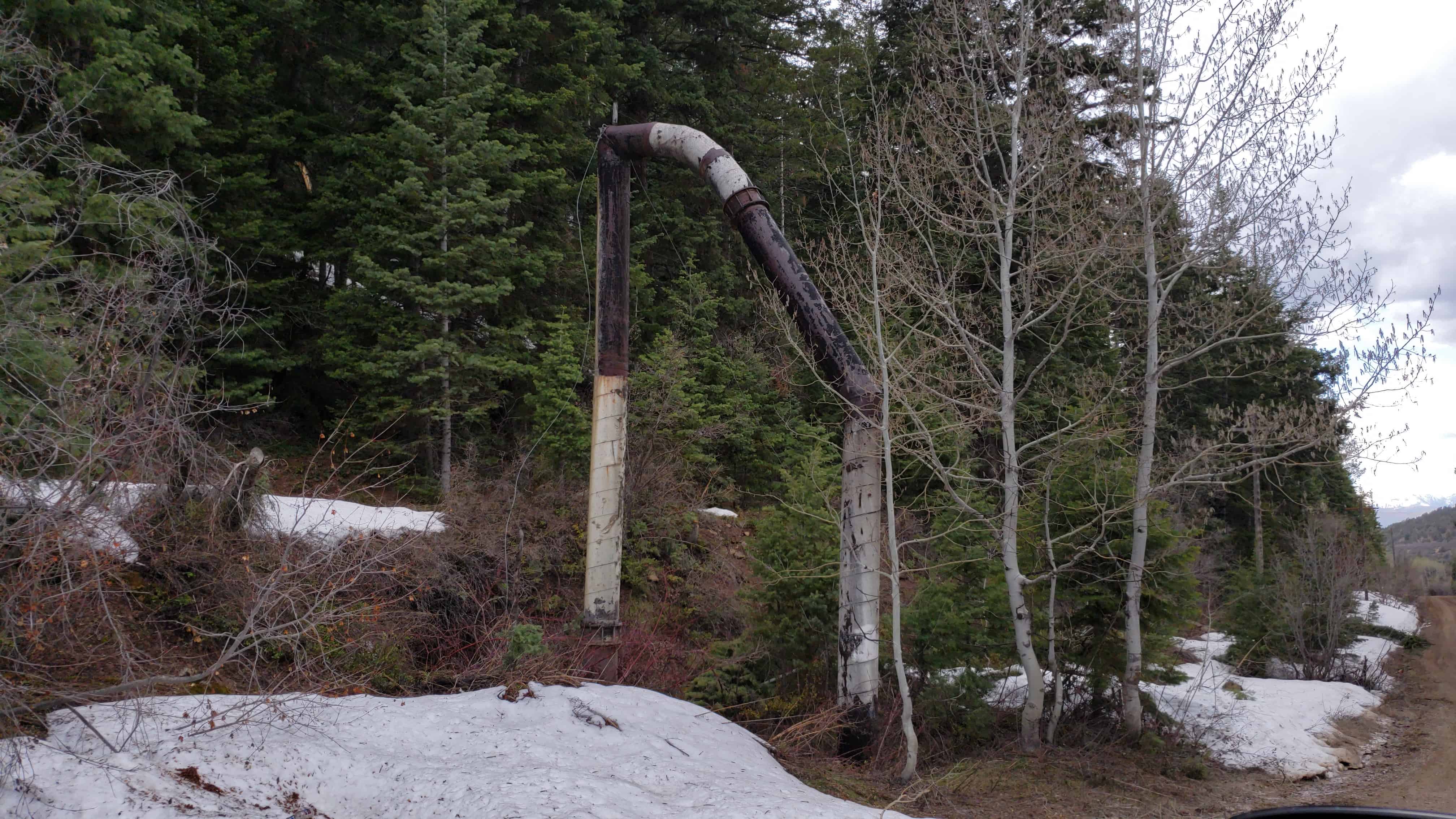
Needless to say, the Lehi factory was a marvel of modern engineering, and one of the most important buildings in Utah Industry for many years. Most of the history linked to the Spanish Fork Factory finds its way back to Lehi. At one point one could say that quite literally, as until the building of the Pleasant Grove pipeline, the beet pipeline between the Spanish Fork and Lehi factories was the largest beet pipeline in the world, although eventually it corroded due to high alkali soils found in the valley.

After the initial success of the Lehi factory, many other factories were built around the state. Spanish Fork in particular became the bloodline for the Lehi factory, as the world’s largest and longest pipeline used to transport beets ran between the two. Built sometime in the early 1900s, the factories were owned by the Utah-Idaho sugar company (originally a commercial venture of the LDS / Mormon Church). The current Spanish Fork factory that you can see today was was built in 1916. Much of the plant equipment was transferred from Nampa Idaho to the Spanish Fork area.

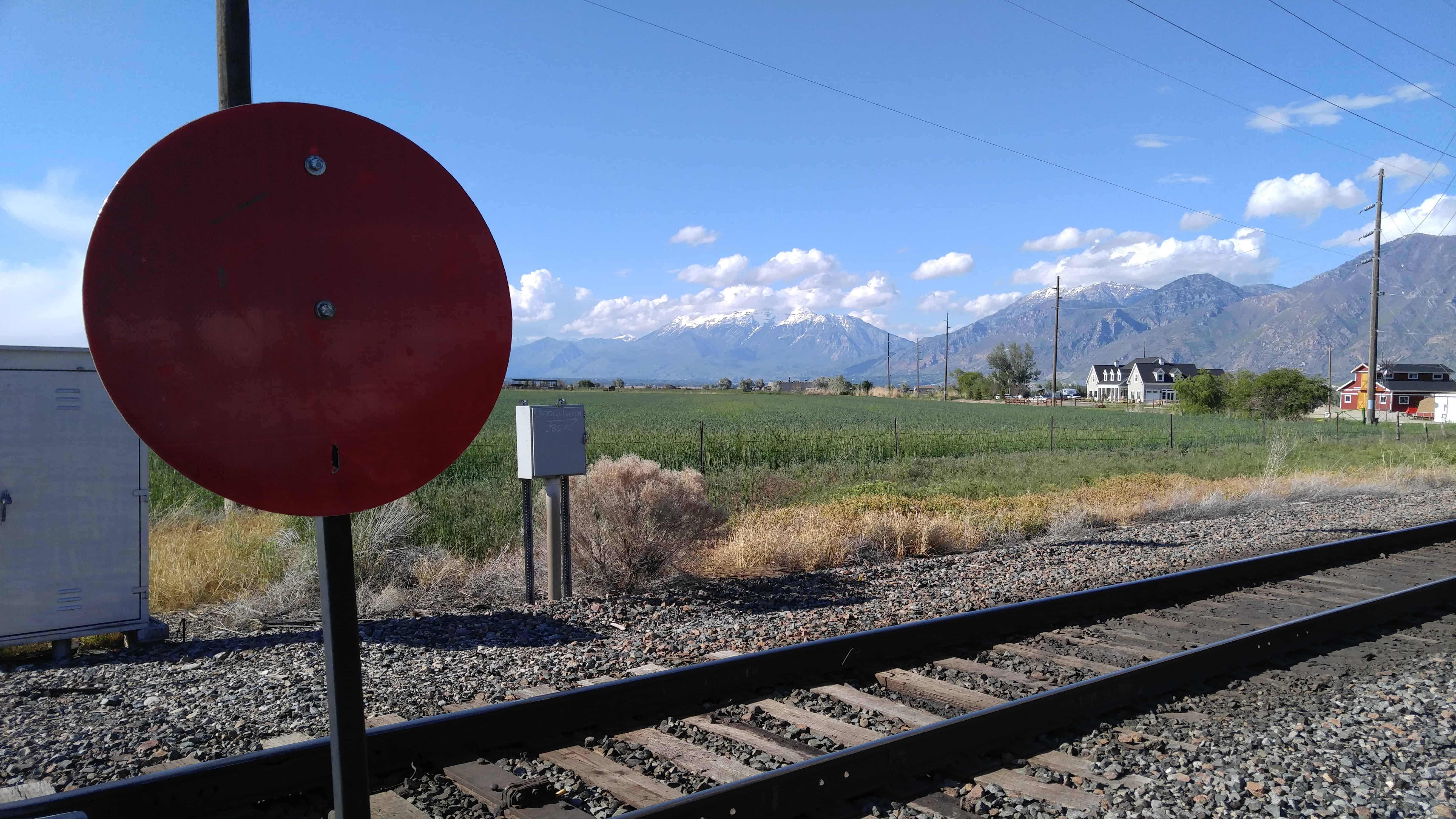
The plant was designated as a beet slicing factory and then the beets were shipped to Lehi via pipe. The factory was able to grind 450 to 500 tons of beets per day, 50 tons more than the Lehi factory. The pipe from Spanish Fork to Lehi was, at the time, the longest pipe used for transferring beet pulp in the nation. Trains were an important park of the beet industry, and several railroad lines were extended into Spanish Fork (and possibly down to Payson) expressly for the shipping of sugar beets. There were several factories around the valley, including factories in Payson, Springville, and Provo, although the one in Spanish Fork was one of the largest in the state.

Eventually, the industry changed course. Anti-trust laws broke the back of the company, and many of the factories closed down as a result in the 1920s. Finally, in 1952 the Spanish Fork factory was closed as well, as the industry for sugar swung to sugar cane as the main source of sugar, because it could be grown year-round and the labor to produce it was much cheaper.

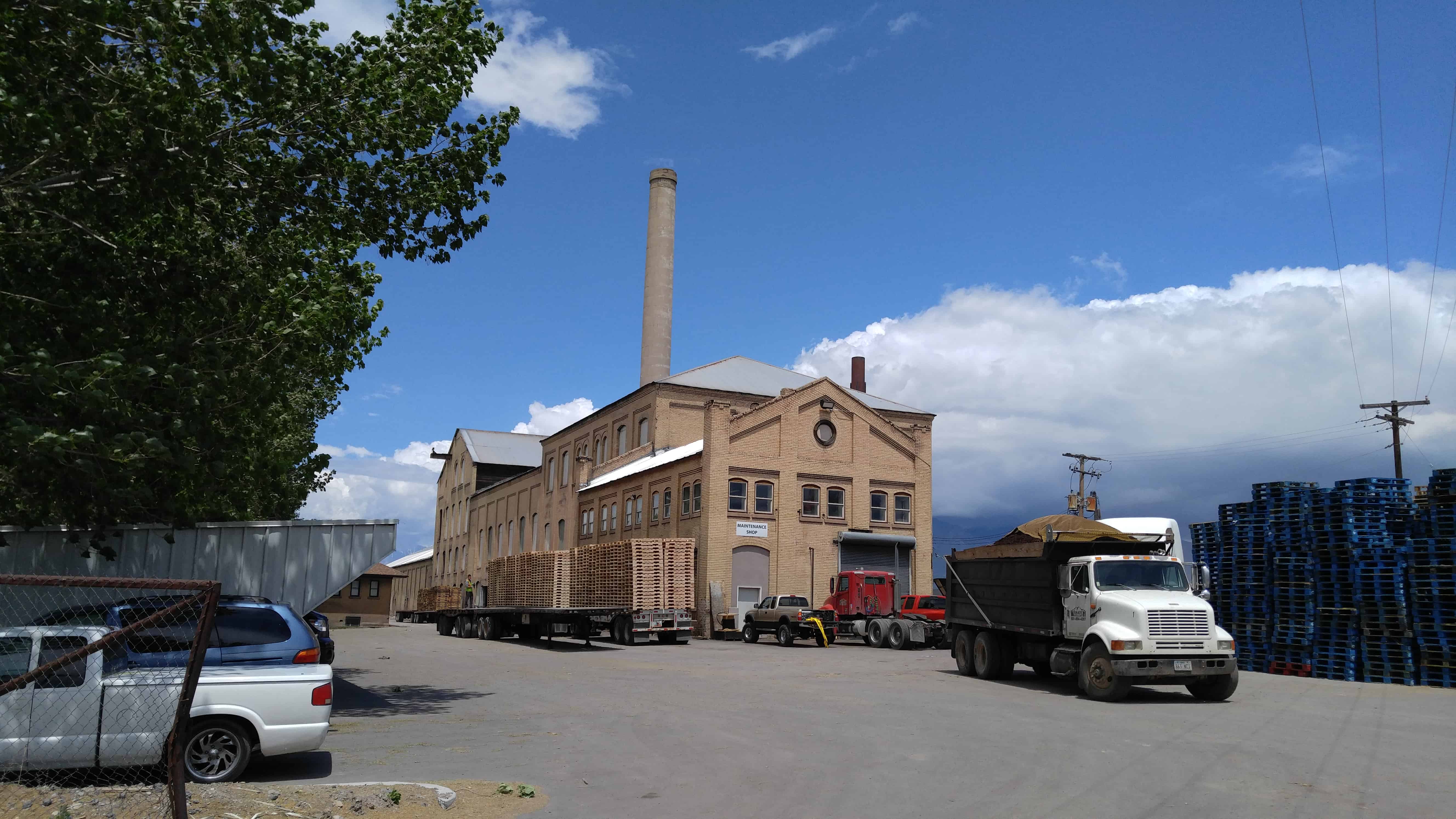
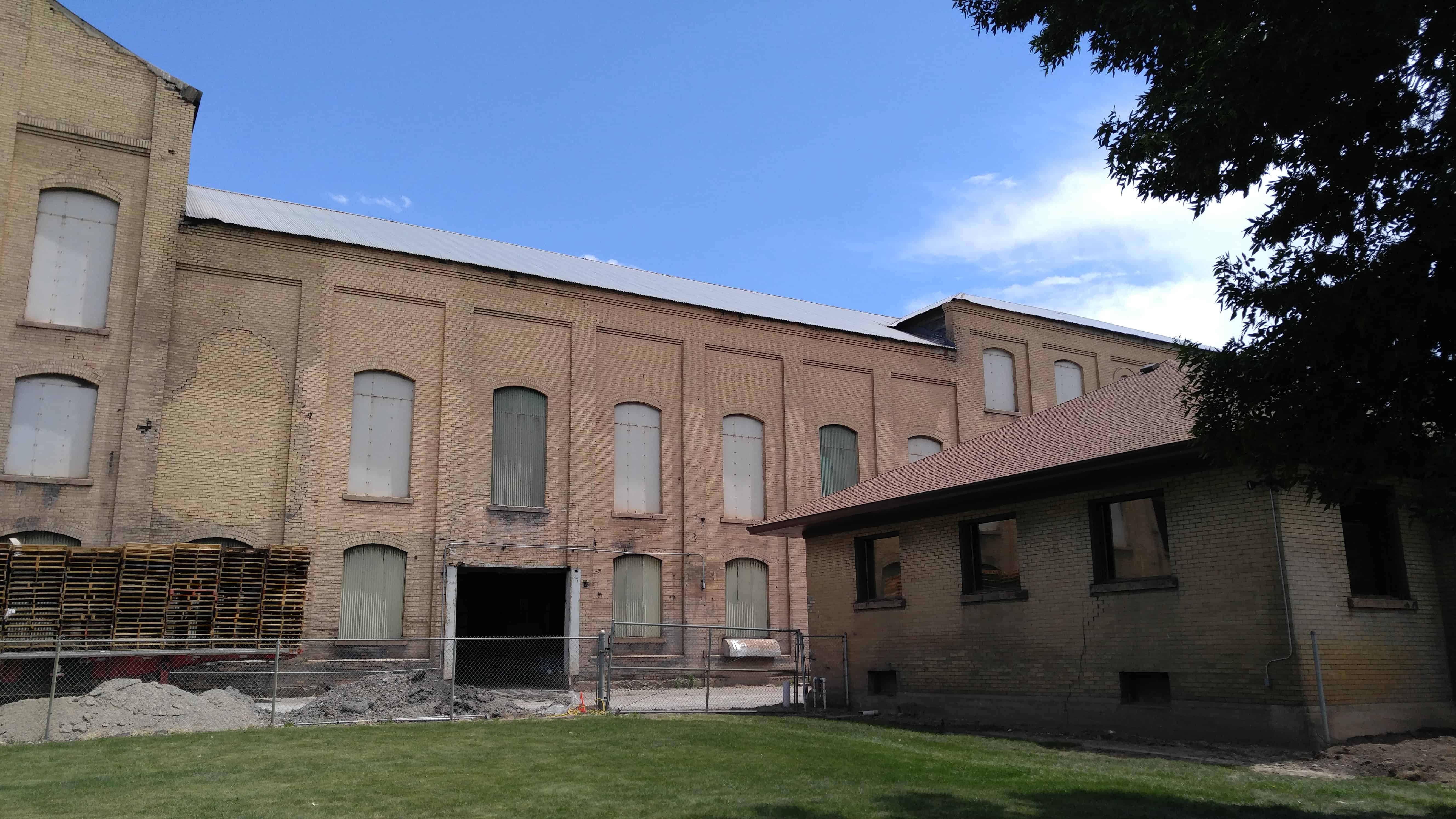
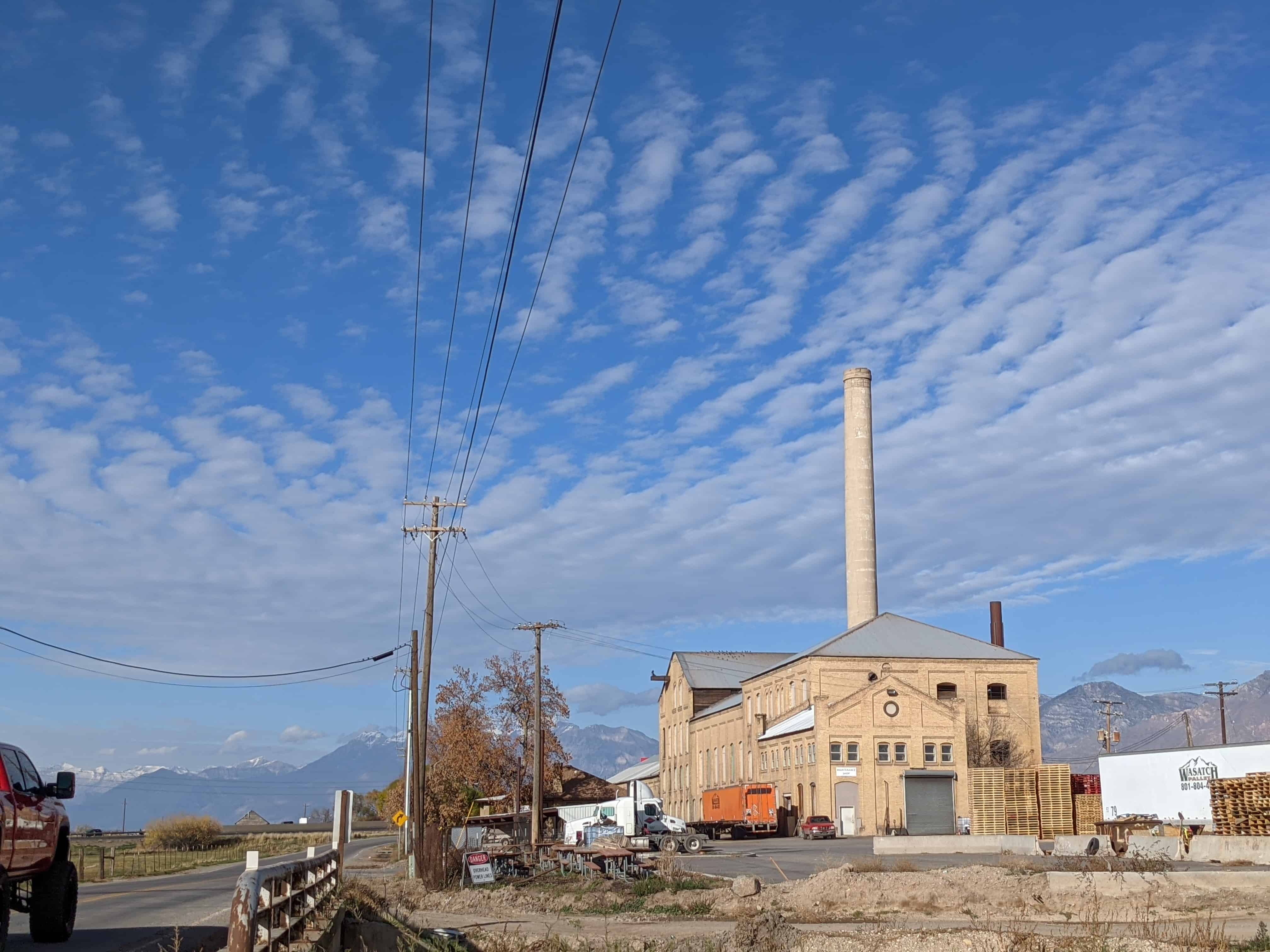
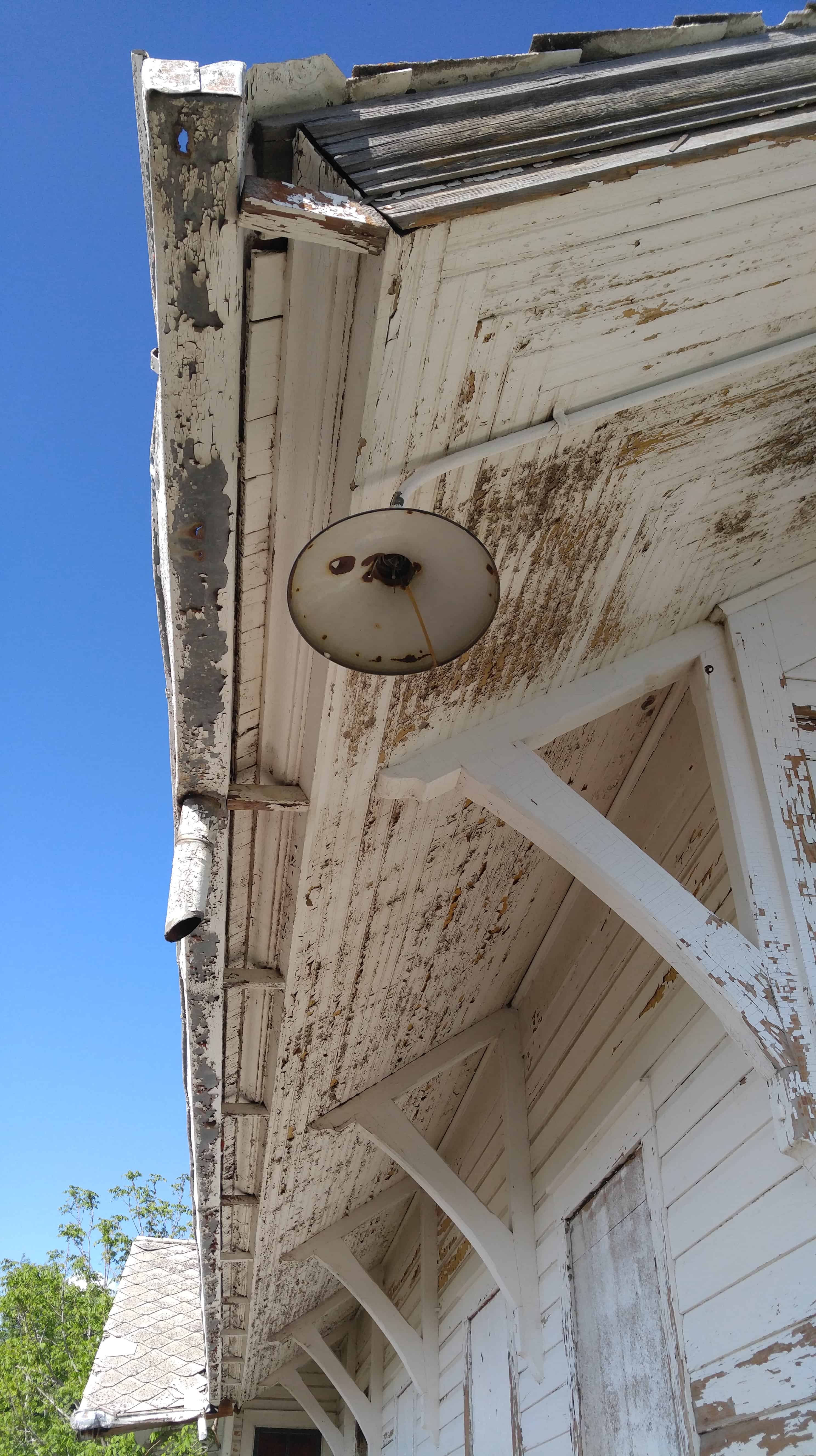
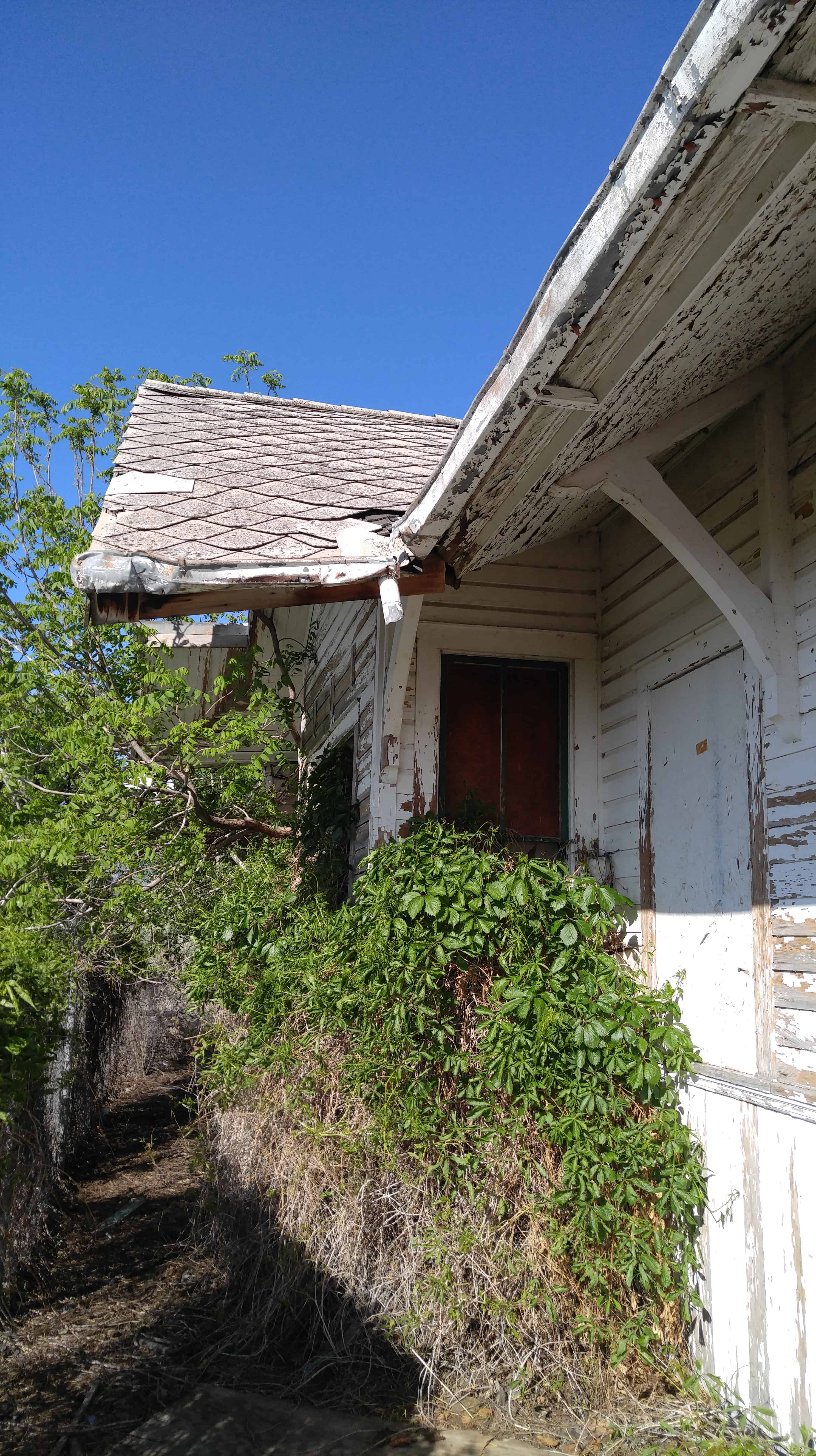
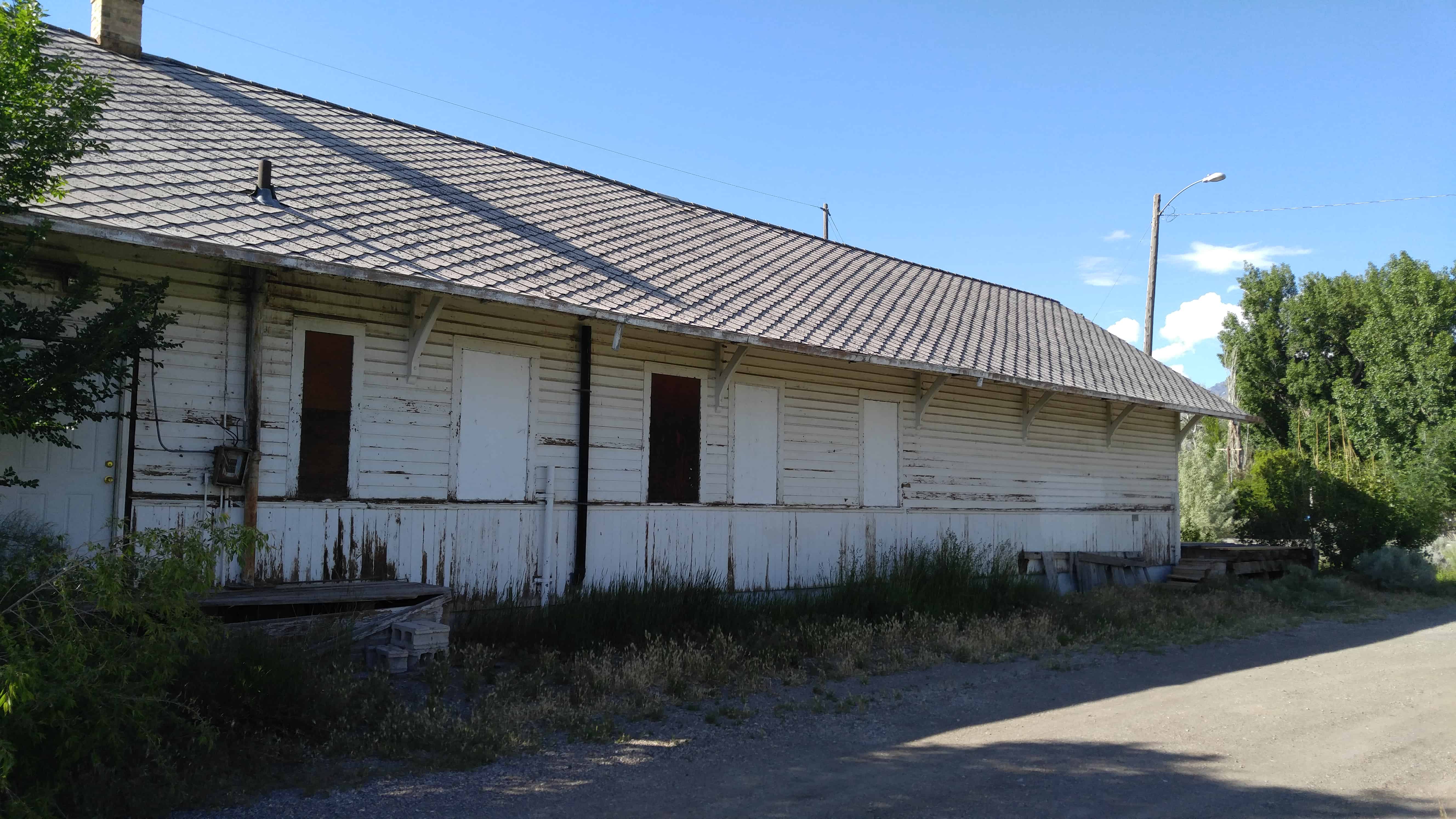
Today, the factory is owned and used by the Wasatch Pallet Company, though most of it is condemned and not considered safe. The owners do not mind letting people get closer just as long as you speak with them and get their permission (you should find them at their office on the south end of the property) and they should oblige. Though a shell of its former self, it is still nevertheless a prominent feature on the landscape, and certainly an important part of the local history.

Located at 521 South 1550 West in Spanish Fork, Utah

  • 2016-05-27 13.47.53

Sky View, Utah

19 Friday Aug 2016

Posted by Jacob Barlow in Uncategorized

≈ Leave a comment

Tags

Sky View, spanish fork canyon, utah, utah county

SKYVIEW

Sky View is an old used-to-be-town and railroad siding in Spanish Fork Canyon.

Mount Pleasant, Utah

19 Friday Aug 2016

Posted by Jacob Barlow in Uncategorized

≈ 59 Comments

Tags

Fairview, Mt. Pleasant, Sanpete County, utah

Mt. Pleasant is one of the places claiming to be the geographical center of the state, I’ve seen 3 so far.

After taking lumber out of Pleasant Creek Canyon in late 1851, a band of Mormon colonists from Manti led by Madison D. Hambleton returned in the spring of 1852 to establish the Hambleton Settlement near the present site of Mt. Pleasant. During the Walkara (Walker) Indian War, the small group of settlers relocated to Spring Town (Spring City) and later to Manti for protection. The old settlement was burned down by local Native Americans, so when a large colonizing party from Ephraim and Manti returned to the area in 1859, a new, permanent townsite was laid out in its present location—one hundred miles south of Salt Lake City and twenty-two miles northeast of Manti.

Among the founding settlers were Mormon converts from Scandinavia, the United Kingdom, and the eastern United States. By 1880, at which time Mt. Pleasant was the county’s largest city, with a population of 2,000, more than 72 percent of its married adults were foreign born. This ethnic diversity had an important impact on village life during the nineteenth and early twentieth centuries. For decades, five languages were commonly spoken in town, creating confusing and sometimes amusing communication problems.

Related Posts:

  • Brunger Motel & Cafe
  • Carnegie Library
  • Cemetery
  • The Chief Sanpitch Story
  • Creamery
  • First Presbyterian Church of Mt. Pleasant
  • Geographical Center of Utah
  • Hansen-Barton Building
  • Kinema Theatre
  • Laundry Building
  • LDS Chapels – Red Church – South Ward Building
  • Lowry Cafe
  • The Merz Fountain
  • Mount Pleasant Christmas Lights
  • Mt. Pleasant City Aquatic Center
  • Mt Pleasant Commercial Historic District
  • Mt. Pleasant Fort
  • Mount Pleasant High School Mechanical Arts Building
  • Mt. Pleasant Monument
  • Mt. Pleasant National Guard Armory
  • Mt. Pleasant Railroad Depot
  • Mt Pleasant Relic Home
  • Mt Pleasant Telegraph History
  • Mt Pleasant VFW
  • National Guard Calvary Stable
  • Parks – Power Plant Park – Ted Lasson Memorial Park – City Park
  • Peter Johansen House
  • Schools – Mt. Pleasant Elementary (old) – Hamilton, Old High School, Wasatch Academy
  • Seely Barn
  • Ursenbach Funeral Home
  • Mt Pleasant posts sorted by address

Posts about building located in the Downtown / Main Street area Mount Pleasant are on this page.

ingress_20131203_221943_6

Fifth Water Hot Springs and Waterfall

18 Thursday Aug 2016

Posted by Jacob Barlow in Uncategorized

≈ 2 Comments

Tags

Diamond Fork, Diamond Fork Canyon, Fifth Water, Hiking, Hot Springs, spanish fork canyon, utah, utah county, Waterfalls

39230_414297954233_7919635_n

The Fifth Water Hot Springs / Hot Pots and the nearby waterfall are a fun place to relax and play.  It’s a couple miles+ one way from the parking lot in Diamond Fork Canyon and a very well used trail. It is often mistakenly called Diamond Fork Hot Springs, Spanish Fork Hot Springs and others but Fifth Water is the real name.

It’s also well known for nudists, lots of rumors that the local law enforcement try to stop it but be warned if you’re offendable.

Related:

  • Fifth Water Hike (Oct 2022)

Above photos from July 2010 – Below from May 2011

Stewart Falls

18 Thursday Aug 2016

Posted by Jacob Barlow in Uncategorized

≈ Leave a comment

Tags

Provo Canyon, Stewart Falls, Sundance, Timpanogos, utah, utah county, Waterfalls

c7b330d4-f917-400a-812f-6a0aed17a951

I’ve gone to Stewart Falls several different ways, if you happen to know someone in he gated community up there it’s a simple quarter mile hike, other popular trails range between 2 and 4 miles and are very nice.  The Tram is also popular to get close-ish.

1eae1fce-8b34-44f9-a480-47478c363cda

Donut Falls

18 Thursday Aug 2016

Posted by Jacob Barlow in Uncategorized

≈ Leave a comment

Tags

Big Cottonwood Canyon, Donut Falls, Hiking, Salt Lake City, Salt Lake County, Waterfalls

6c5e0197-c016-410a-81a9-169c8118a495

I hiked up to Donut falls with Tammy, the hike up was nice, about three quarters of a mile from parking to the falls.  We played around a while at the falls and found a geocache then we decided to find our own way down, that is always a bad idea, why don’t I learn? sliding down hillsides, climbing cliffs, jumping across raging rivers, running into a moose just a few feet away from us…. another good adventure in the books.

3ceba577-a072-4790-891e-6982d8053b16
3f994c1b-9392-4490-8df3-e6fcee556f4d

Richfield, Utah

15 Monday Aug 2016

Posted by Jacob Barlow in Uncategorized

≈ 5 Comments

Tags

Richfield, Sevier County, utah

Richfield Posts:

  • Academy Hall
  • Carnegie Library
  • Fort Omni
  • Old Lime Kiln
  • Old Sevier County Courthouse
  • The Old Spanish Trail
  • Richfield Pioneers
  • All Richfield posts sorted by address

Prehistoric people occupied the Richfield area for more than 7,000 years. Fremont culture remains are found near most community sites in the Sevier area and are dated from approximately CE 1 to CE 1000. In the late summer of 1776, Father Escalante and his party of Spanish explorers passed through the general vicinity, looking for a trail to link Nuevo Mexico and California. During the late 1820s, Jedediah Smith and other fur traders crossed the area. Sevier County lies on one of the variants on the Old Spanish Trail between Santa Fe, New Mexico and California and was used by travelers between 1830 and 1850.

In the early part of January 1864, a party of ten men under the leadership of Albert Lewis came from Sanpete County, Utah and arrived in what is now Richfield. The Mormon settlers found fertile soil, good water and wood in the nearby hills. They decided that it was a desirable site for a settlement. These pioneers made a dwelling place for all ten men, which they called ‘The Hole in the Ground.’ They carefully covered this hole with brush willows and other materials and made a crude chimney of rocks. This dugout was located on today’s Main Street. These men spent the remainder of the winter in this dwelling, planning and preparing for the time when they could bring their families.

The early Mormon settlements were abandoned in 1867 due to the conflict known as the Black Hawk War. But, when resettled in 1871, Richfield grew to become a regional center. The coming of the Denver and Rio Grande Railroad in 1891 opened the valley for expanded agricultural commerce and mining.

In 1939, Utah Governor Henry H. Blood vetoed a proposal for a junior college in Richfield. Fifty-seven years later, Snow College opened a Richfield campus, which serves about 600 students per year.

2016-05-26 20.52.04

Spanish Fork Railroad Depot

15 Monday Aug 2016

Posted by Jacob Barlow in Uncategorized

≈ 2 Comments

Tags

historic, Historic Buildings, Leland, Railroad, Railroad Depots, Railroad Siding, spanish fork, utah, utah county

2016-05-22 17.44.19
(Spanish Fork Train Depot)

The old Spanish Fork Railroad Depot and Brandt Hall – Old Timers Club.

BYU Museum of Art – Sculpture Garden

15 Monday Aug 2016

Posted by Jacob Barlow in Uncategorized

≈ 1 Comment

Tags

Art, BYU, Sculptures, utah, utah county

  • 2016-05-14 09.25.28

The sculpture garden at the Museum of Art at Brigham Young University.

Smithfield, Utah

15 Monday Aug 2016

Posted by Jacob Barlow in Uncategorized

≈ 8 Comments

Tags

Cache County, Hyde Park, Logan, Smithfield, utah

SMITHFIELD

The town of Smithfield (originally known as “Summit Creek” )in Cache Valley, Utah, was tied to the early Mormon colonization of Utah. Part of what has been labeled “the inner cordon of settlements,” Cache Valley was itself settled in 1856, and Smithfield in 1859. As an agricultural region in northern Utah, Cache Valley aided in the supplying of goods not only to northern Utah, but also to mining regions in Idaho and Montana. Smithfield, which began as a settlement of dugouts and wagons, in 1860 became a village with houses arranged in “fort style” (forming a square where the rear portions of the buildings constituted the walls of the fort). It had been named Smithfield in 1859 for John Glover Smith, the first Mormon bishop, who exercised power in both church and civic affairs.

Related:

  • Douglas General Mercantile
  • Heritage Park
  • Ira Elias Merrill Memorial
  • Main Theater
  • The Morgan Canning Company
  • Original Settlement of Smithfield (D.U.P. Marker #550)
  • Parks in Smithfield
  • Smithfield Bank
  • Smithfield Carnegie Library
  • Smithfield Fire Station
  • Smithfield History Museum
  • Smithfield Implement Co
  • Smithfield Tabernacle
  • Smithfield Veterans Memorial
  • Summit Creek Fort
  • The SV above Smithfield
  • Walking Trail with Plaques
  • Yellow Brick Homes of Smithfield
  • Smithfield posts sorted by address
← Older posts
Newer posts →

Follow Jacob

Follow Jacob

Come wander with me on Youtube.

Blog Stats

  • 2,100,726 hits

Social and Other Links

BarlowLinks.com

Recent Posts

  • Scout Monument
  • Provo High School Seminary Building
  • 821 E 100 S
  • 820 E 100 S
  • 817-819 E 100 S

Archives

Loading Comments...