• About JacobBarlow.com
  • Cemeteries in Utah
  • D.U.P. Markers
  • Doors
  • Exploring Utah Email List
  • Geocaching
  • Historic Marker Map
  • Links
  • Movie/TV Show Filming Locations
  • Oldest in Utah
  • Other Travels
  • Photos Then and Now
  • S.U.P. Markers
  • U.P.T.L.A. Markers
  • Utah Cities and Places.
  • Utah Homes for Sale
  • Utah Treasure Hunt

JacobBarlow.com

~ Exploring with Jacob Barlow

JacobBarlow.com

Monthly Archives: November 2016

Fremont Street

20 Sunday Nov 2016

Posted by Jacob Barlow in Uncategorized

≈ 6 Comments

Tags

Clark County, Las Vegas, Nevada

2017-08-02 21.34.47-1
2016-09-04-13-21-07

Fremont Street Posts:

  • 1 – Golden Gate Hotel & Casino
  • 1 – First Phone in Vegas
  • 128 Fremont – Binion’s Hotel Casino
  • 129 Fremont – Golden Nugget
  • 200 Fremont – Fremont Casino
  • 202 Fremont – 4 Queens
  • 301 Fremont – The D
  • 310 – El Portal Theatre
  • 321 Fremont – Crazy Ely Western Village
  • 450 Fremont – Heart Attack Grill
  • 505 Fremont
  • 600 E Fremont St – El Cortez Hotel and Casino

Fremont Street in Las Vegas, Nevada is a popular tourist location. named after John Fremont, an exploring in the area. There are many casinos, hotels, shops and activities and many people entertaining on the street.

2016-09-04-14-17-11
2016-09-04-14-14-26

Fremont Street dates back to 1905, when Las Vegas itself was founded. Fremont Street was the first paved street in Las Vegas in 1925 and received the city’s first traffic light in 1931. Fremont Street also carried the shields of U.S. Route 93 (US 93), US 95, and US 466 before the construction of the interstates.

While gambling was well established prior to being legalized, the Northern Club in 1931 received one of the first 6 gambling licenses issued in Nevada and the first one for Fremont Street.

Glitter Gulch was closed to vehicle traffic in September, 1994 to begin construction on the Fremont Street Experience.

2017-05-06 12.34.07
2016-09-04-13-42-53
2017-08-02 21.12.47-1
2017-08-02 21.49.56
2017-08-02 22.04.04

Garfield, Utah

20 Sunday Nov 2016

Posted by Jacob Barlow in Uncategorized

≈ Leave a comment

picture22june08-005

Kennecott Garfield Smelter Stack

Kennecott Utah Copper LLC’s Garfield Smelter Stack is a 1,215 feet high smokestack west of Magna, Utah, alongside Interstate 80 near the Great Salt Lake. It was built to disperse exhaust gases from the Kennecott Utah Copper smelter at Garfield, Utah.

It was one of several company owned towns for miners between 1905 and 1950. After that it faded pretty quickly.

Related Posts:

  • Garfield Junior High School
picture22june08-006

Carlsbad, California

20 Sunday Nov 2016

Posted by Jacob Barlow in Uncategorized

≈ 1 Comment

Tags

California, Carlsbad, San Diego County

picture27dec07-102

Carlsbad’s history began with the Luiseño people (the Spanish name given to them because of their proximity to Mission San Luis Rey). Nearly every reliable fresh water creek had at least one native village, including one called Palamai. The site is located just south of today’s Agua Hedionda Lagoon.

Mission San Luis Rey De Francia

20 Sunday Nov 2016

Posted by Jacob Barlow in Uncategorized

≈ 2 Comments

Tags

California, Catholic, historic, Historic Markers, LDS, LDS Church, Oceanside, San Diego County

picture27dec07-071

The historical marker reads as follows:

MISSION SAN LUÍS REY DE FRANCIA

Founded June 12, 1798 by Father Lasuén, then president of the California missions, and administered by Father Peyrí, Mission San Luís Rey is notable for its impressive architecture-a composite of Spanish, Moorish, and Mexican.

The following text was copied from Wikipedia.
Mission San Luis Rey de Francia was founded on June 13, 1798 in what is now the town of Oceanside, California. In 1816, Mission San Antonio de Pala was established twenty miles inland as its asistencia (“sub-mission”). The local Payomkowishum tribe became known as the Luiseño, after the San Luis mission. An early account of the mission was written by one of its Luiseño neophytes, Pablo Tac.

No services were held at the Mission for 46 years. It was not until 1892 when two Mexican priests were given permission to restore the Mission as a monastery; Father Joseph O’Keefe was assigned as an interpreter for the monks. It was he who began to restore the old Mission in 1895. The cuadrángulo (quadrangle) and church were completed in 1905. Today, Mission San Luis Rey de Francia is a working mission. It is cared for by the people who belong to the parish, and is still being restored. There is a museum and visitors center at the Mission, as well as a small cemetery.

picture27dec07-069

picture27dec07-070


Located at 4050 Mission Ave in Oceanside, California.

Also located here:

  • The Mormon Battalion (historic marker)

Related:

  • The Mormon Battalion

San Marcos, California

20 Sunday Nov 2016

Posted by Jacob Barlow in Uncategorized

≈ 1 Comment

Tags

California, San Diego County, San Marcos

picture27dec07-051

According to historical legends, the San Luis Rey Mission flocks were robbed by a small band of Native Americans in the late 18th century. Fleeing the Spanish troops, the Native Americans escaped to the hills. While pursuing the Native Americans, in 1797 the Spaniards came upon a fertile valley, which was named Los Vallecitos de San Marcos (Little Valleys of Saint Mark) to honor the day of discovery: April 25, St. Mark’s Day. On April 22, 1840, Governor Juan B. Alvarado granted Rancho Vallecitos de San Marcos to his relative, Jose María Alvarado. Jose Alvarado was killed at the Pauma Massacre in 1846, and the land was left to his wife; she then sold the land to Lorenzo Soto. In the late 1850s, Soto sold part of his land to Cave Couts, and his family was soon raising livestock. Although Cave Couts owned the land, Major Gustavus French Merriam from Topeka, Kansas, made the first permanent settlement. Merriam homesteaded 160 acres in the north Twin Oaks Valley and began wine and honey production.

After Major Merriam’s settlement, German and Dutch immigrants began moving into the area in the early 1880s. In 1883, a few miles south of the settlement, John H. Barham (for whom the present-day Barham Drive is named) founded the first town in the area, originally situated on the southeast corner of what are now Rancho Santa Fe Road and San Marcos Boulevard. By 1884, the town of Barham had a post office, blacksmith, feed store and weekly newspaper. In 1887, the San Marcos Land Company bought almost all of the San Marcos land formerly owned by the Couts family and promptly divided the land into tracts. Soon the beautiful hills began attracting home-seekers.

The original town of San Marcos was about a mile north of Barham, at the intersection of what is now Grand Avenue and Rancho Santa Fe Road. In 1887, the Santa Fe Railroad announced that it was going to lay tracks going through the valley, but to the disappointment of the citizens, the tracks were laid one mile from the center of the town. By 1896, San Marcos was a community with its own stores, post office, blacksmith, and railroad depot. The first school in the area, which was started in Barham in 1886, had been moved to San Marcos three years later, as Barham was fading due to its distance from the railroad. To prevent San Marcos from suffering a similar fate, in 1903 the people of the town picked up their homes and moved a couple miles east along the railroad tracks to what now are Mission Road and Pico Avenue. By 1905, the town had every convenience, including rural mail delivery and telephone service. Later that same year, the Richland School (now a wedding chapel on Woodland Avenue) was built, becoming the second school in San Marcos. The main business in San Marcos in the 19th and early 20th centuries was farming. In the mid-20th century, dairies and poultry production became a big part of the business in the town.

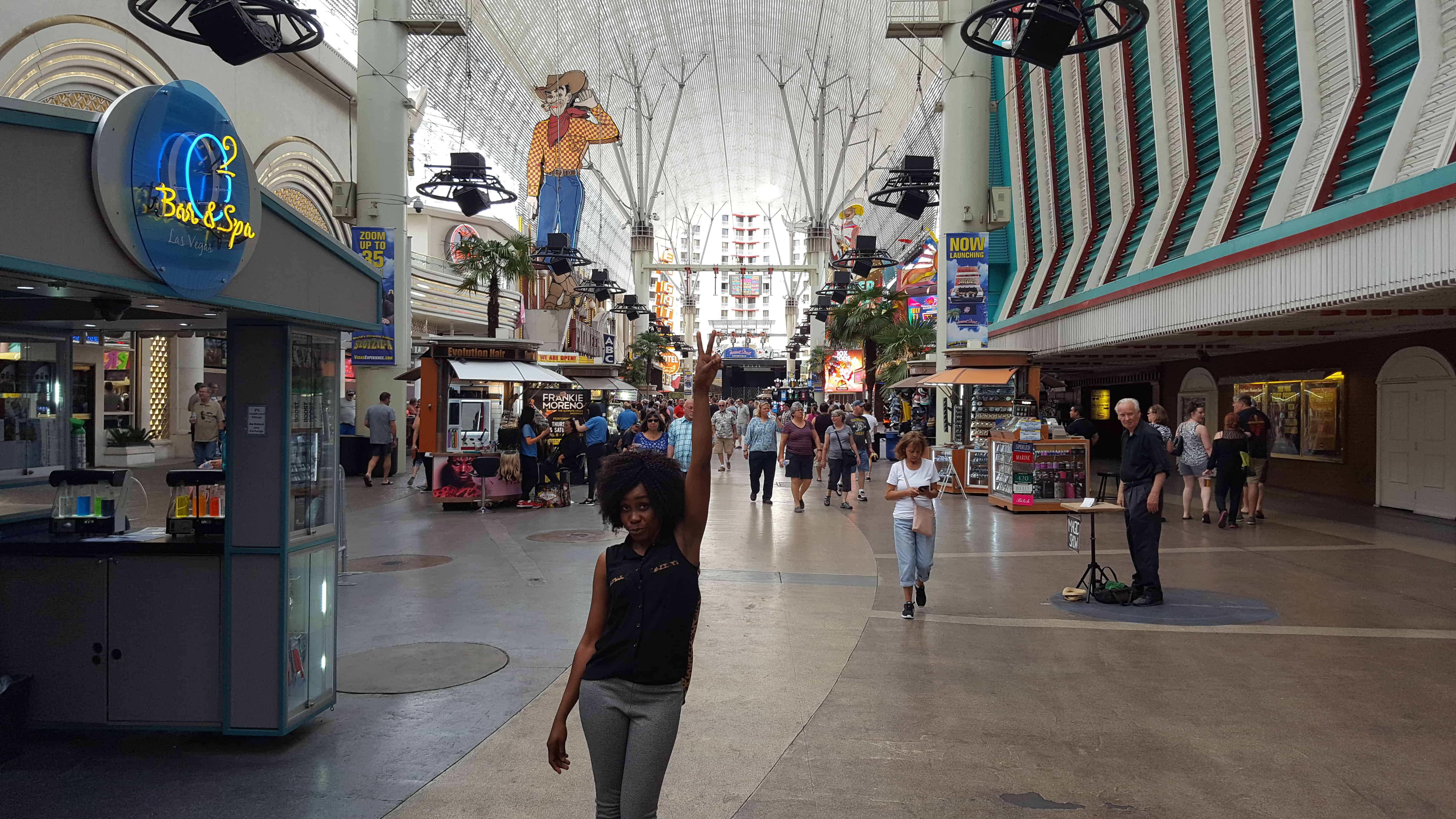
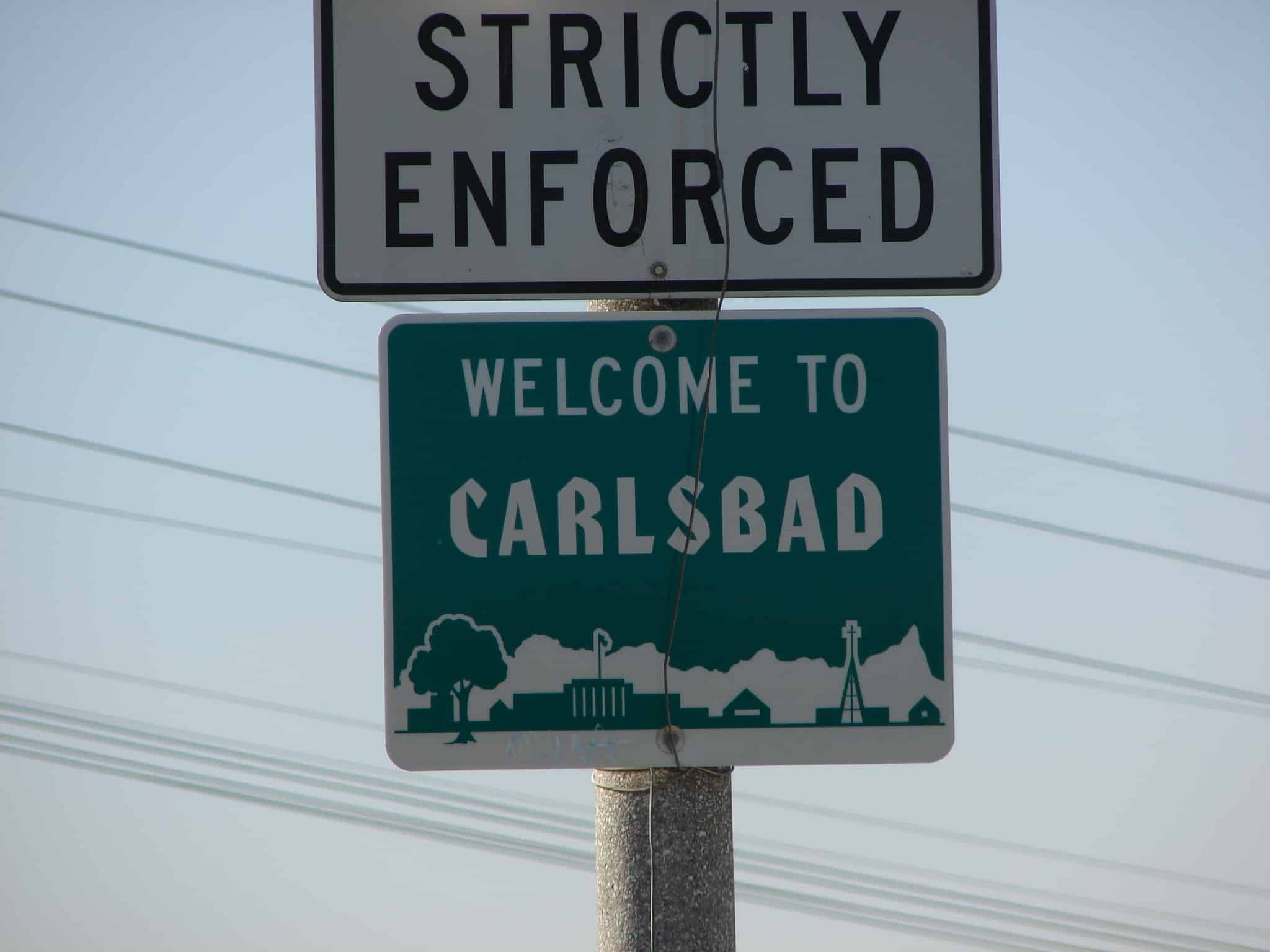
San Marcos experienced a period of growth from 1956 onward, when the first water from the Colorado River arrived. Several small businesses were founded and the population rapidly increased to 2,500. San Marcos became an incorporated city on January 28, 1963. In the 1970s, San Marcos was flourishing as the third fastest-growing city in the state, and had a population of 17,479 by 1980. The population continued to boom over the next two decades, surpassing 30,000 in 1990 and nearing 85,000 by 2010.

Logandale, Nevada

20 Sunday Nov 2016

Posted by Jacob Barlow in Uncategorized

≈ 2 Comments

Tags

Clark County, Logandale, Nevada

picture27dec07-031

Established on the west side of the Muddy River in 1865, Logandale was originally named West Point. It was enlarged and renamed Saint Joseph in 1868, by settlers driven out of their first town of Saint Joseph, Nevada on the east side of the Muddy River when it burned down. It also acquired the post office established in the old town on August 26, 1867.

The new Saint Joseph like the other Mormon settlements in the Moapa Valley was abandoned in 1871 due to a tax dispute with the state of Nevada. Its post office closed in October 1871 but became active again on in May 1876. Following the Mormon return to Overton in 1880, in November 1883 the post office operations were moved there.

The town was later to begin to revive in 1912 around a railroad station with the name Logan, for a Civil War veteran who settled on the abandoned town site. It was subsequently renamed Logandale to avoid confusion with Logan, Utah.

Arizona’s Honeymoon Trail

19 Saturday Nov 2016

Posted by Jacob Barlow in Uncategorized

≈ 1 Comment

Tags

Arizona, DUP, historic, LDS, LDS Church, Maricopa County, Mesa

2016-09-05-17-24-06

DUP Marker #532 – Located in Mesa’s Pioneer Park.

Arizona’s Honeymoon Trail

For nearly forty years, couples from Arizona settlements left their homes each fall after harvest and traveled 400 miles to St. George, Utah. Winding slowly through desert and steep canyons, crossing barren plateaus, and passing rivers and pools of undrinkable water, these travelers made their way to be married in the St. George Temple, the only temple completed at that time. The trail followed the old wagon road across the Colorado River at Lee’s Ferry. Couples from Snowflake and Taylor were the first known to make the trip in 1881. Some couples married in civil ceremony before leaving, while others were escorted by chaperones. A few couples, waiting to afford the trip, had children who accompanied them. Frequently couples banded together for the trip. Before leaving on the long, hazardous journey, wagons were loaded with food packed in grub boxes, and water barrels were mounted on the wagon sides. Supplies of hay and grain for the animals were also transported. When needed, settlers along the way furnished food and water from their meager supplies.

Because of the romantic nature of these adventures, reporter Will C. Barnes gave the route its name, The Honeymoon Trail. After the Atlantic Pacific Railroad was completed in 1885, a few couples went by train, and later by auto. When the Mesa Arizona Temple was dedicated in 1927, the journey was no longer necessary. The old trail still is visible in a few places. The route was added to the National Register of Historic Places in 1986. This slender thread that connected the Arizona settlements to the St. George Temple became an enduring testimony to the faith of these settlers, members of The Church of Jesus Christ of Latter-day Saints. A pattern of sacrifice aided the pioneers in settling the Arizona and New Mexico wilderness.

2016-09-05-17-23-54
2016-09-05-17-23-09

Mesa

19 Saturday Nov 2016

Posted by Jacob Barlow in Uncategorized

≈ 1 Comment

Tags

Arizona, DUP, historic, LDS, LDS Church, Maricopa County, Mesa

2016-09-05-17-23-33

DUP Marker #169 – Located in Mesa’s Pioneer Park.

Mesa

Early in 1878 a hardy band of Mormon pioneers arrived on this mesa. With a straight edge and a spirit level they proved the feasibility of using the ancient Montezuma Canal to bring life-giving irrigation water from the Salt River to the desert sands. On February 14th work began on this project. A survey was made and stakes driven, May 16, 1878, to plat the townsite according to the “City of Zion” plan given by Joseph Smith, the founder of the Church of Jesus Christ of Latter-Day-Saints. Elijah Pomeroy was the first Bishop of Mesa and A. F. McDonald the first Mayor. Maricopa County

2016-09-05-17-23-54
2016-09-05-17-23-26


Pioneer Park

19 Saturday Nov 2016

Posted by Jacob Barlow in Uncategorized

≈ 3 Comments

Tags

Arizona, historic, LDS, LDS Church, Maricopa County, Mesa, Parks

2016-09-05-17-25-46

Pioneer Park in Mesa, among other historic sites and markers you can see DUP Markers #169 and #532.

See other historic markers in the series on this page for SUP Markers.

2016-09-05-17-24-47
2016-09-05-17-24-43

Mesa Pioneer Monument

2016-09-05-17-25-37

Mineral Park, Arizona

19 Saturday Nov 2016

Posted by Jacob Barlow in Uncategorized

≈ 1 Comment

Tags

Arizona, Arizona Historic Markers, Ghost Towns, Mineral Park, Mining, Mohave County

2016-09-05-11-44-30

Mining in the area began in 1871 and a camp was established soon after. The mines produced primarily silver, gold, copper, lead and zinc. The post office was opened December 23, 1872. It grew to be the largest town in the county and became the county seat in 1873. It had the county courthouse and jail, stores, hotels, saloons, shops, doctors, lawyers, assay offices and two stagecoach stations. The town published a newspaper, the Mohave County Miner.

In 1887 it lost the county seat to the railroad town of Kingman in an election. Some of the population and the newspaper moved and mining began to slacken with the price of silver. The post office closed in April 30, 1893. It reopened in September 1894, but closed for the last time in 1912. Mining revived in the area since the 1960s, but the town never did.

← Older posts
Newer posts →

Follow Jacob

Follow Jacob

Come wander with me on Youtube.

Blog Stats

  • 2,111,414 hits

Social and Other Links

BarlowLinks.com

Recent Posts

  • William Capener House
  • Justus Wellington Seeley II House
  • Huntington Roller Mill and Miller’s House
  • Johnson Ranch House
  • James W. and Mary K. Loofbourow House

Archives

Loading Comments...