Tags

The first local member of The Church of Jesus Christ of Latter Day Saints (the Mormons) arrived on the ship Brooklyn on July 31, 1846 at Yerba Buena (San Francisco). Several families traveled to Washington township, the present area of Fremont, Newark and Union City, and established their homes.
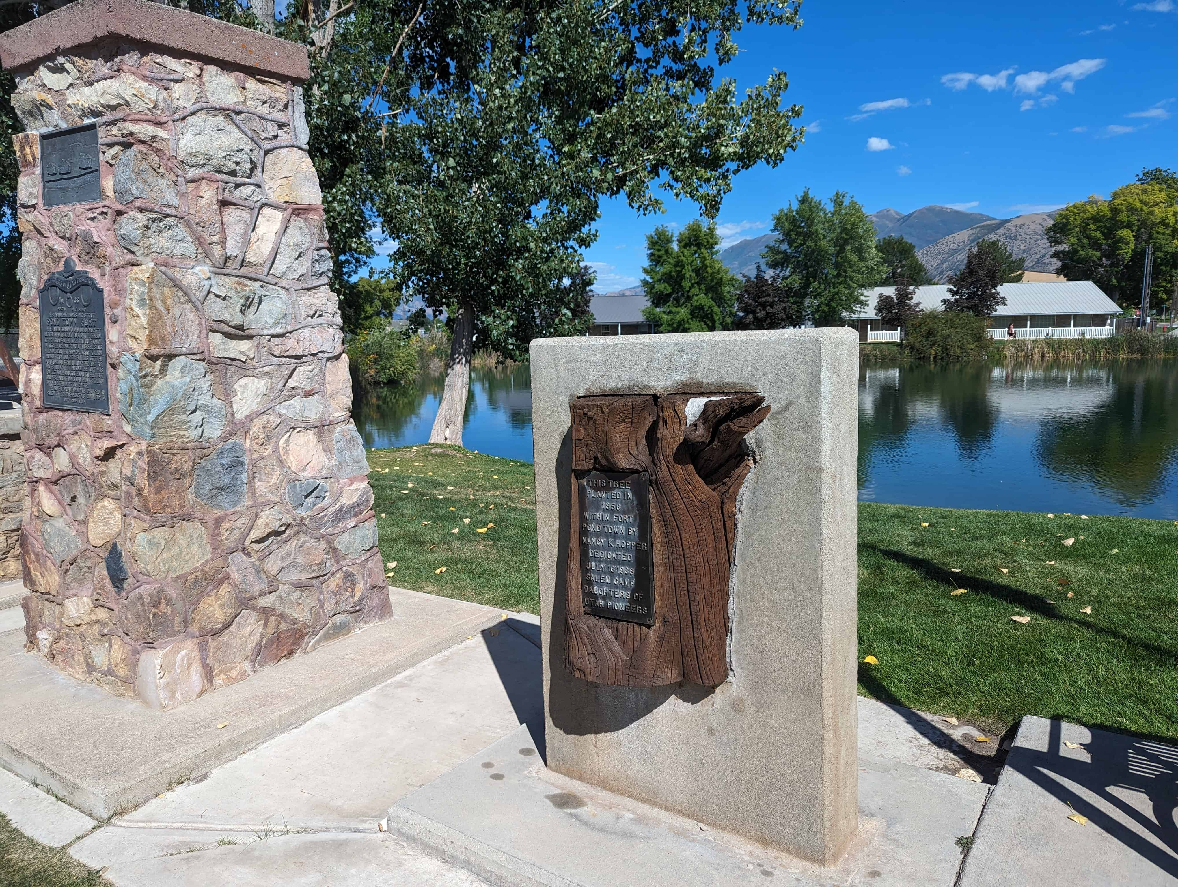
The Mormon Battalion arrived in Southern California, January 29, 1847. Some men from that group traveled north and settled here. One of them, John Conrad Naile (Naegle), arrived in 1848 and built a large adobe home about 1/5 mile east of this marker. School, dances, and other social gatherings were held there.
On April 23, 1850 Apostles Charles C. Rich and Amasa Lyman organized the first branch of the L.D.S church for this area in the adobe home of Earl and Letitia Marshall located approximately 3/5 mile southwest of this marker. Church services were held on the second floor of the Naile adobe until 1850. At this time, John M. Horner built a schoolhouse in Centerville, which served as the first structure built especially for L.D.S services in the area. The local congregation grew during the Gold Rush until 1857-58, when Brigham Young gathered members in Utah.


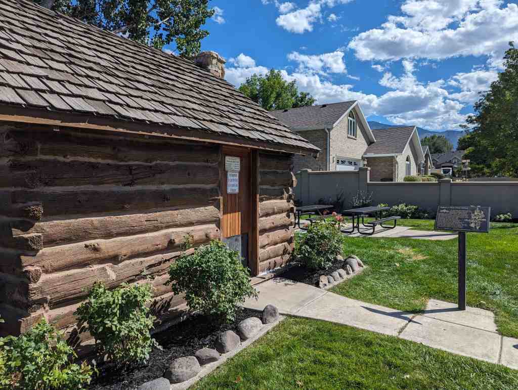
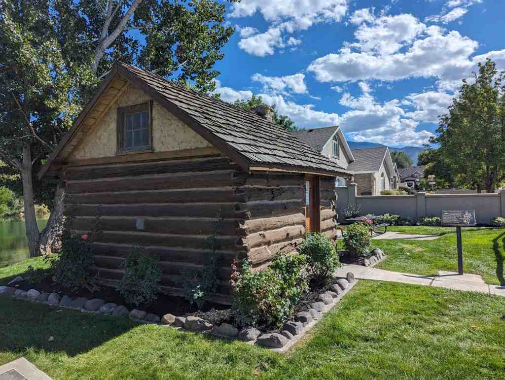
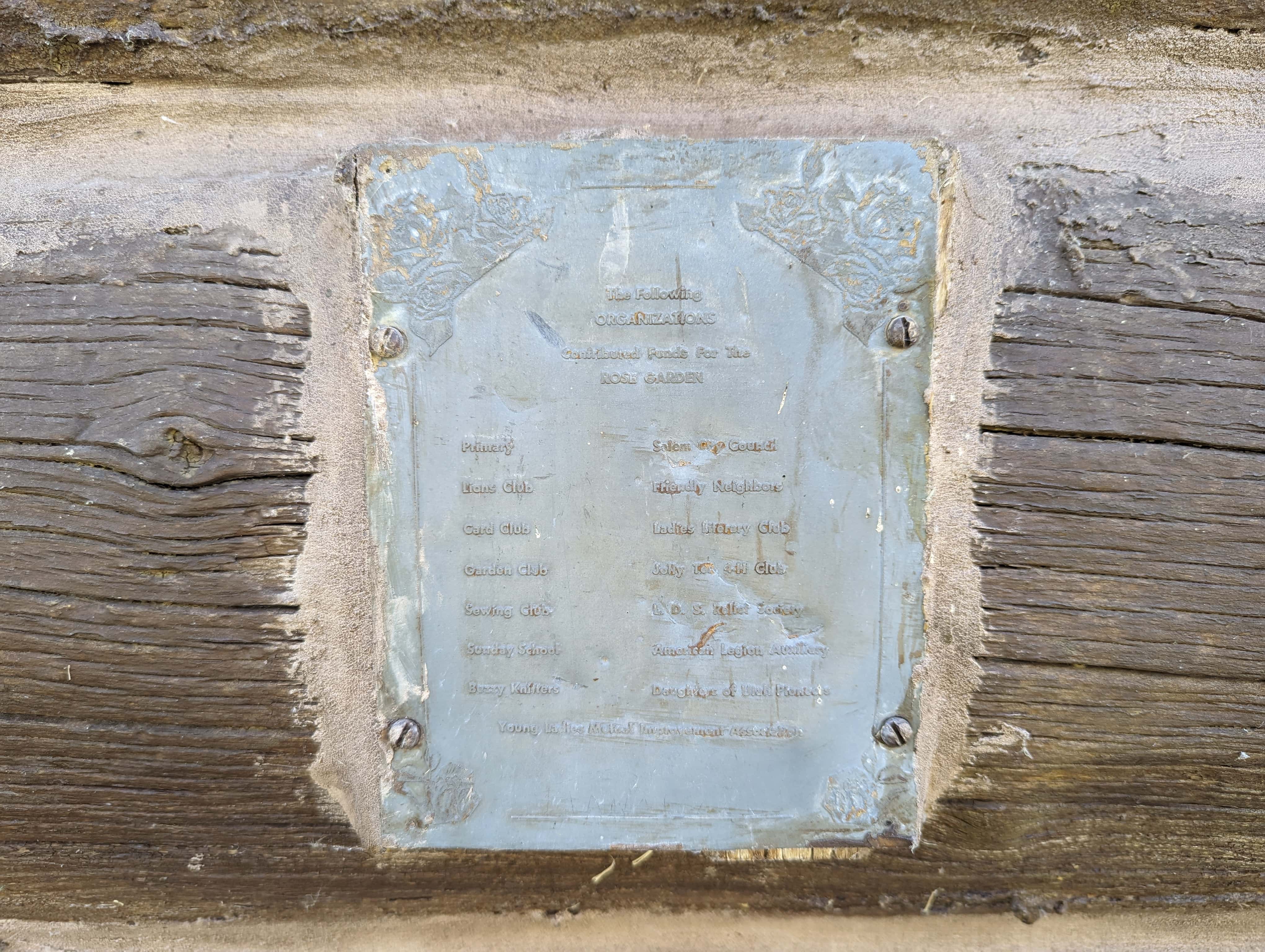
Check out all of the historic markers placed by the Daughters of Utah Pioneers at JacobBarlow.com/dup