Tags
Elberta, Mosida, Saratoga Springs, utah, utah county, Utah Lake


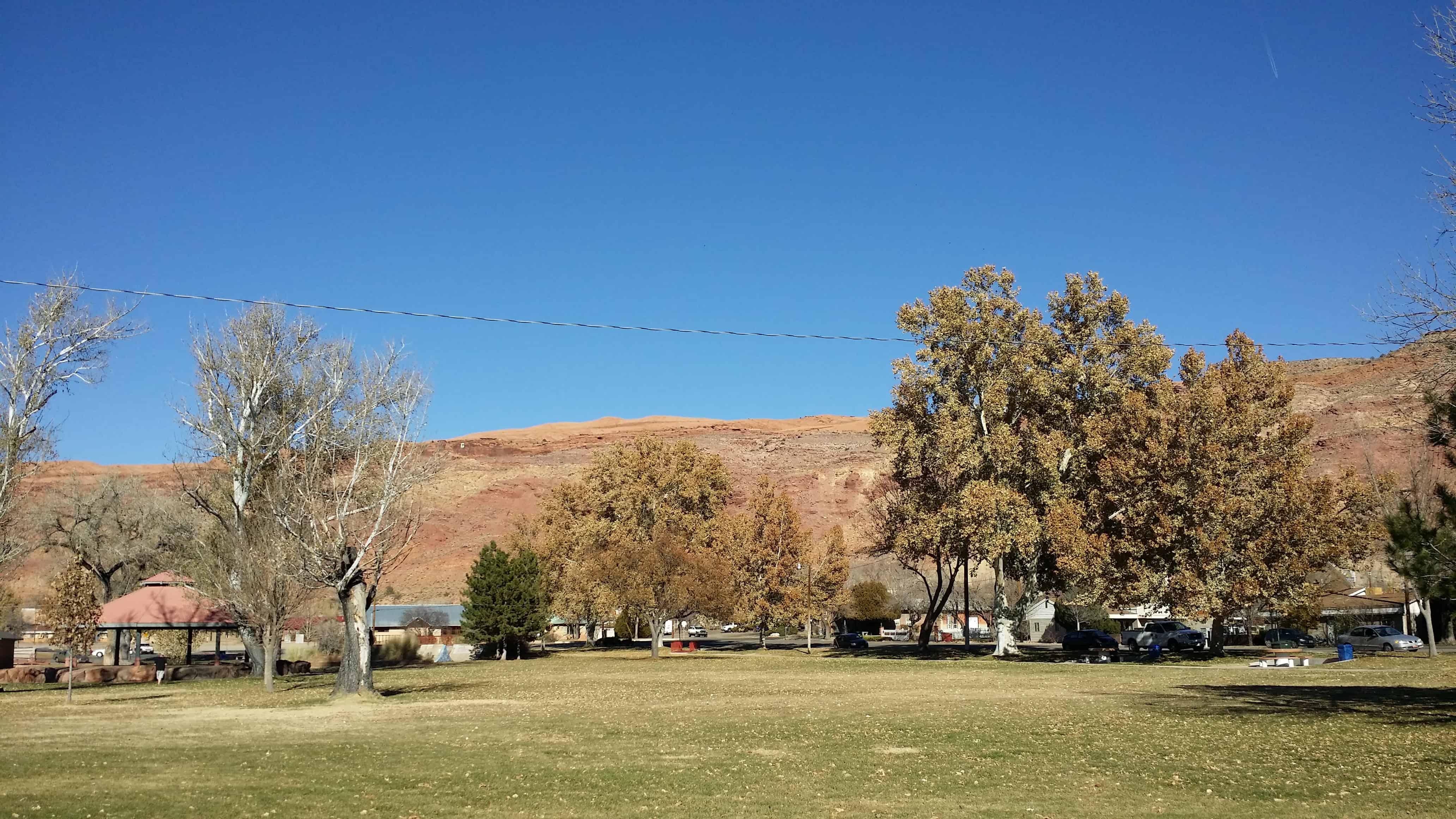
Another “map dot” and “used-to-be-town” in Utah. This is whree Soldiers Pass meets Redwood Road (Highway 68) near Mosida on the West side of Utah Lake.

25 Monday Jan 2016
Posted in Uncategorized
Tags
Elberta, Mosida, Saratoga Springs, utah, utah county, Utah Lake
Another “map dot” and “used-to-be-town” in Utah. This is whree Soldiers Pass meets Redwood Road (Highway 68) near Mosida on the West side of Utah Lake.
17 Sunday Jan 2016
Posted in Uncategorized

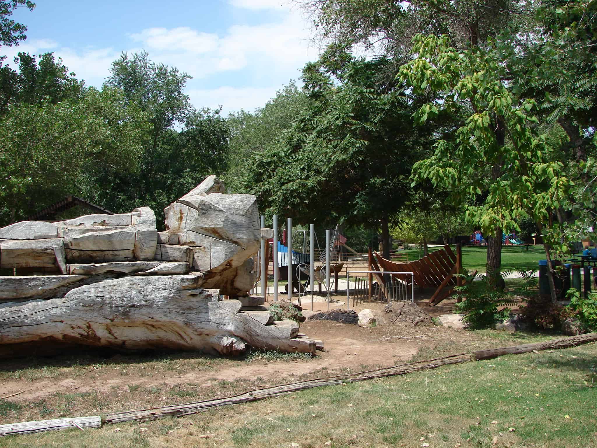
Remnants of an Ancient Sea
700 Million years ago these blue to purple shales were deposited as silt and mud in shallow waters near the shore of an ancient sea.
Notice the pattern of mud cracks preserved on the purple rock.
After the layers were built up and compacted, they were tilted, and in time elevated to their present position by movement along the Wasatch fault.
Related Posts:


17 Sunday Jan 2016
Posted in Uncategorized
Tags
Since 1947, the National Turkey Federation and the Poultry and Egg National Board have given a turkey to the President of the United States at a White House ceremony. It wasn’t until the first Thanksgiving of President George H.W. Bush, in 1989, that a turkey was officially pardoned for the first time.
On November 22, 2011, Utah Govermor Gary L. Herbert, the Utah State Agriculture and Food Commission, Nerst Turkey, Moroni Feed, and Thanksgiving Point partnered to pardon Utah’s first official Thanksgiving turkey; Lucky Tom. Lucky Tom is a hybrid turkey and a Sanpete native who was raised on the Bryant Blackham farm. As many as five million turkeys are raised in Sanpete County and contribute so much to the rural Utah economy, including more than 500 jobs.
Lucky Tom was hand-picked for his size and attractiveness and because he represents what traditional Utah-grown turkey looks like, Lucky Tom will spend the rest of his days at Farm Country Thanksgiving Point as one of many farm animals on display.


05 Tuesday Jan 2016
Posted in Uncategorized
Tags

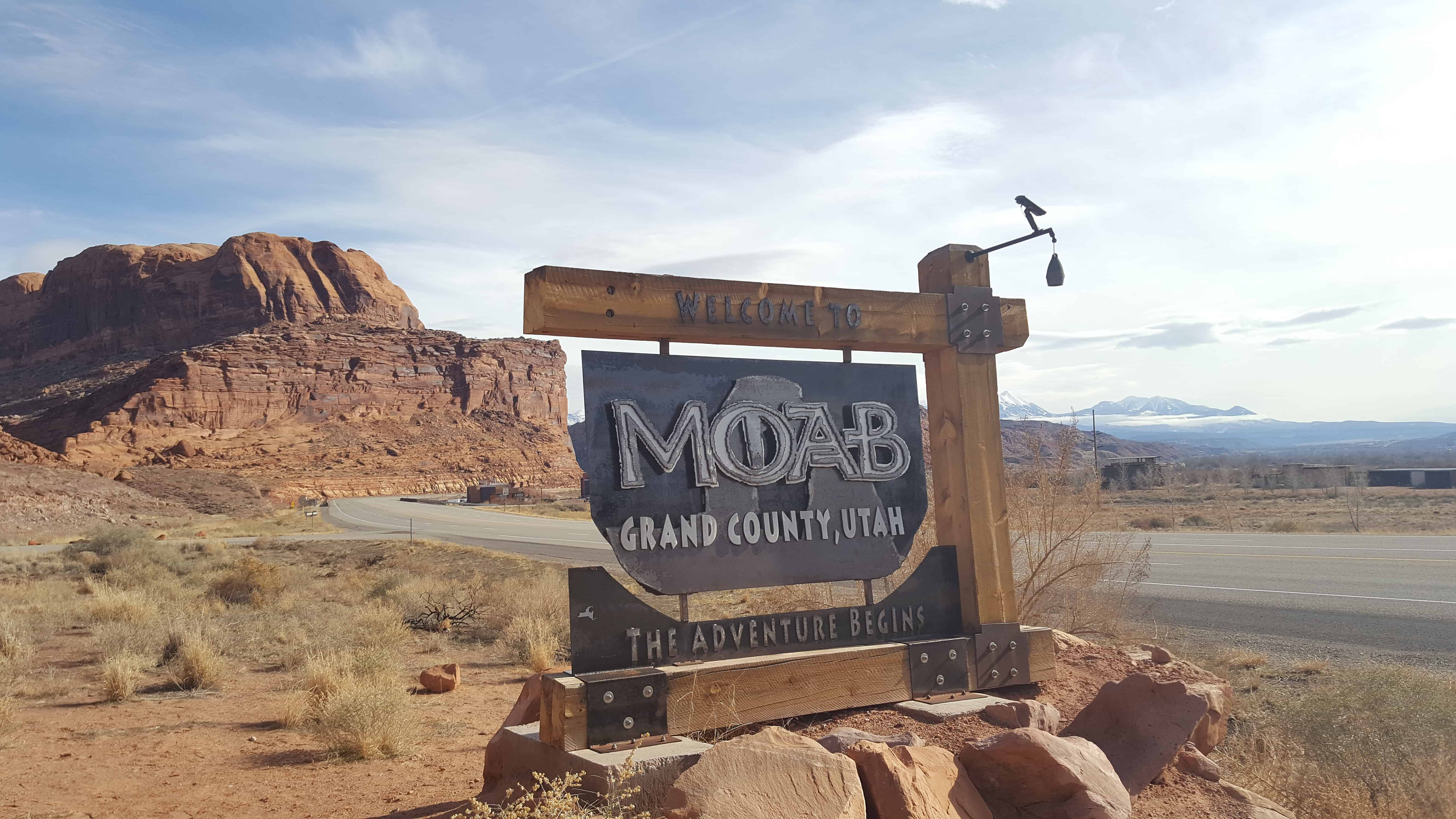
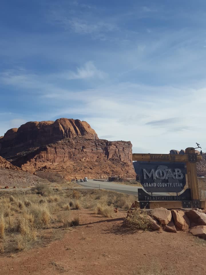
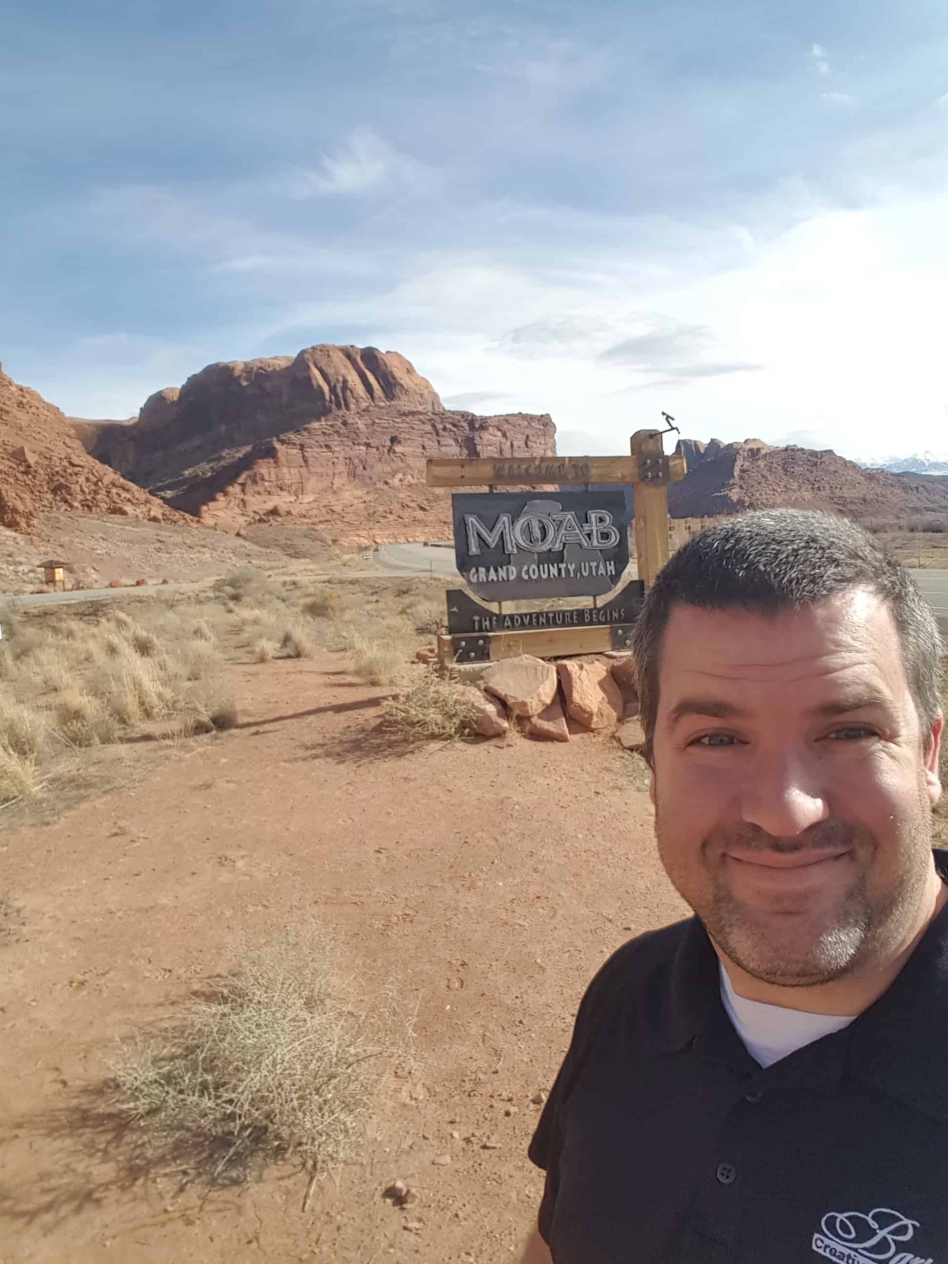
Moab Posts:
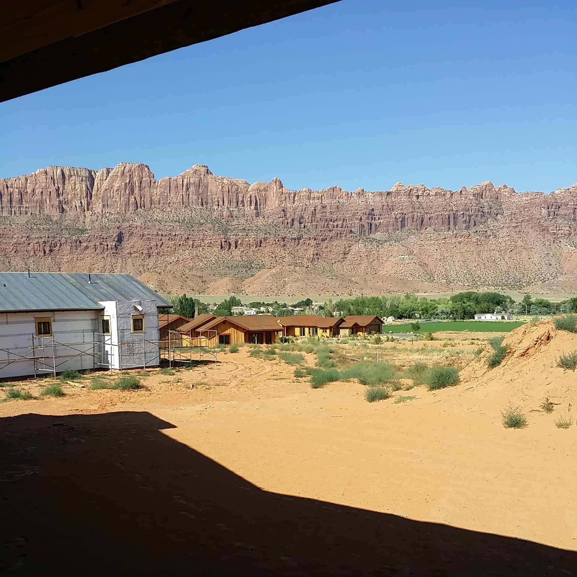
During the period between 1829 and the early 1850s, the area around what is now Moab served as the Colorado River crossing along the Old Spanish Trail. Latter-day Saint settlers attempted to establish a trading fort at the river crossing called “Elk Mountain Mission” in April 1855 to trade with travelers attempting to cross the river. Forty men were called on this mission. There were repeated Indian attacks, including one on September 23, 1855 in which James Hunt, companion to Peter Stubbs, was shot and killed by a Native American. After this last attack, the fort was abandoned. A new round of settlers established a permanent settlement in 1878. Moab was incorporated as a town on December 20, 1902.
19 Saturday Dec 2015
Posted in Uncategorized
Tags
Out benchmark hunting, Benchmark: LO0794 ” 5 12 A ” was a fun one. It’s cool to see these last over 100 years, even if this one wasn’t in great shape. This was placed June 4th, 1912.
| 01/01/1948 by USGS (GOOD) |
| DESCRIBED BY US GEOLOGICAL SURVEY 1948 LOCATED ON LOW GREASEWOOD-COVERED RIDGE. TO REACH FROM ELBERTA, DRIVE N. ON RD. FOR ABOUT 9.0 MI. TO RD. FORKS, TURN RIGHT E. AND DRIVE TO ABANDONED HOUSE AND CORRAL TURN N. AND FOLLOW 1.0 MI. TO GATE IN FENCE CORNER, CONTINUE ABOUT 0.4 MI. TO DIM RD. BEARING NE. FOLLOW ABOUT 1000 FT. STATION IS ABOUT 600 FT. S. ON SAGE BRUSH RAISED GROUND. STATION MARK – USBR TRIANGULATION CONCRETE POST INSCRIBED —USRS NO JUNE 4 1912— REFERENCE MARKS – NONE. |
Photos I took on 11/11/2007


Photos I took 10/11/2015


19 Saturday Dec 2015
Posted in Uncategorized
Soldiers Pass goes over the South end of Lake Mountain from Highway 68 (Redwood Road, Mosida) to the Eagle Mountain area.


16 Wednesday Dec 2015
Posted in Uncategorized
Tags

Some pictures of one of the old lime kilns in the Provo foothills.
See also, Cook Mining District and A Tragedy at the Site of the Provo Lime Kiln.


14 Monday Dec 2015
Posted in Uncategorized
Tags
Mapleton, Railroad, Railroad Sidings, spanish fork, spanish fork canyon, Springville, utah, utah county

Moark Junction is the name for where Highway 89 and Highway 6 meet at Mapleton / Spanish Fork – just outside Spanish Fork Canyon.
11 Friday Dec 2015
Posted in Uncategorized
Tags
Sutro is a railroad siding at Spanish Fork / Mapleton, Utah

23 Monday Nov 2015
Posted in Uncategorized
Tags

The town of Leamington on the northern border of Millard County is situated in a small but fertile valley of the winding Sevier River. It is surrounded on the north, east, and south by the Wasatch range.
In 1871, a number of people from Oak City visited the present site of Leamington. Unlike other Utah settlements, these people were not sent to Leamington by Church authorities. However, Bishop Platt Lyman of Oak City did send John Lovell to Leamington to act as the presiding elder. The first permanent settlers in Leamington built their home in 1873.
Leamington was named after a town in England by Frank Young, a nephew of Brigham Young who was one of the early settlers in Leamington.(*)
Related Posts: