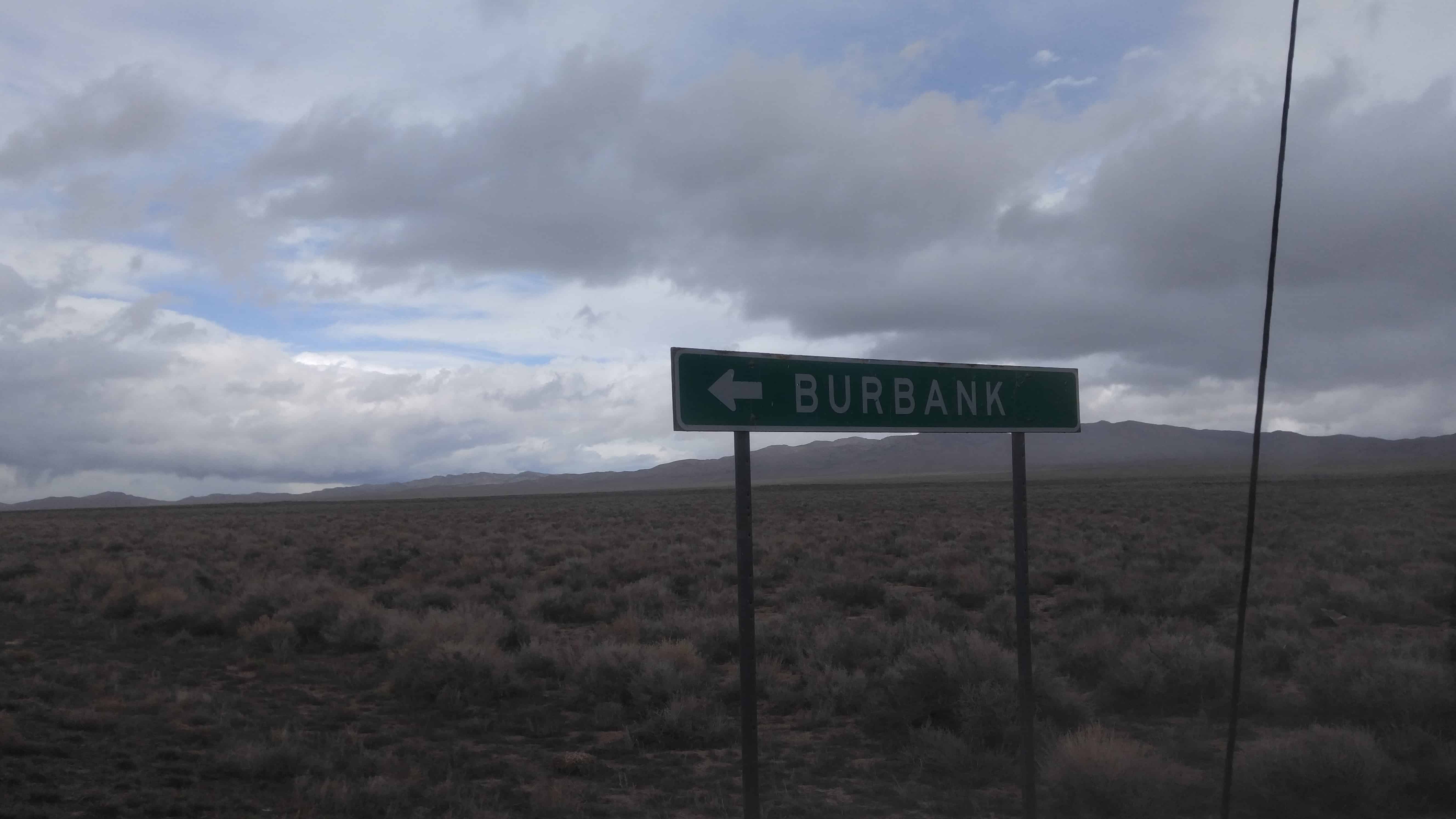
Burbank, Utah is a little South of Garrison in Millard County, near the Nevada border.
Burbank was founded as a Mormon farming community in the 1870s, with an early post office located at the Dearden Ranch. It was named after Margie Burbank Clay, the wife of local Judge E. W. Clay. Clay was used as the name of the major spring that was first used by the settlers. This spring is the main source of water for Pruess Lake, to the north. Outlaws, cattle rustlers, and uncertainty over the local water sources caused the abandonment of the community, with the exception of the Dearden Ranch.
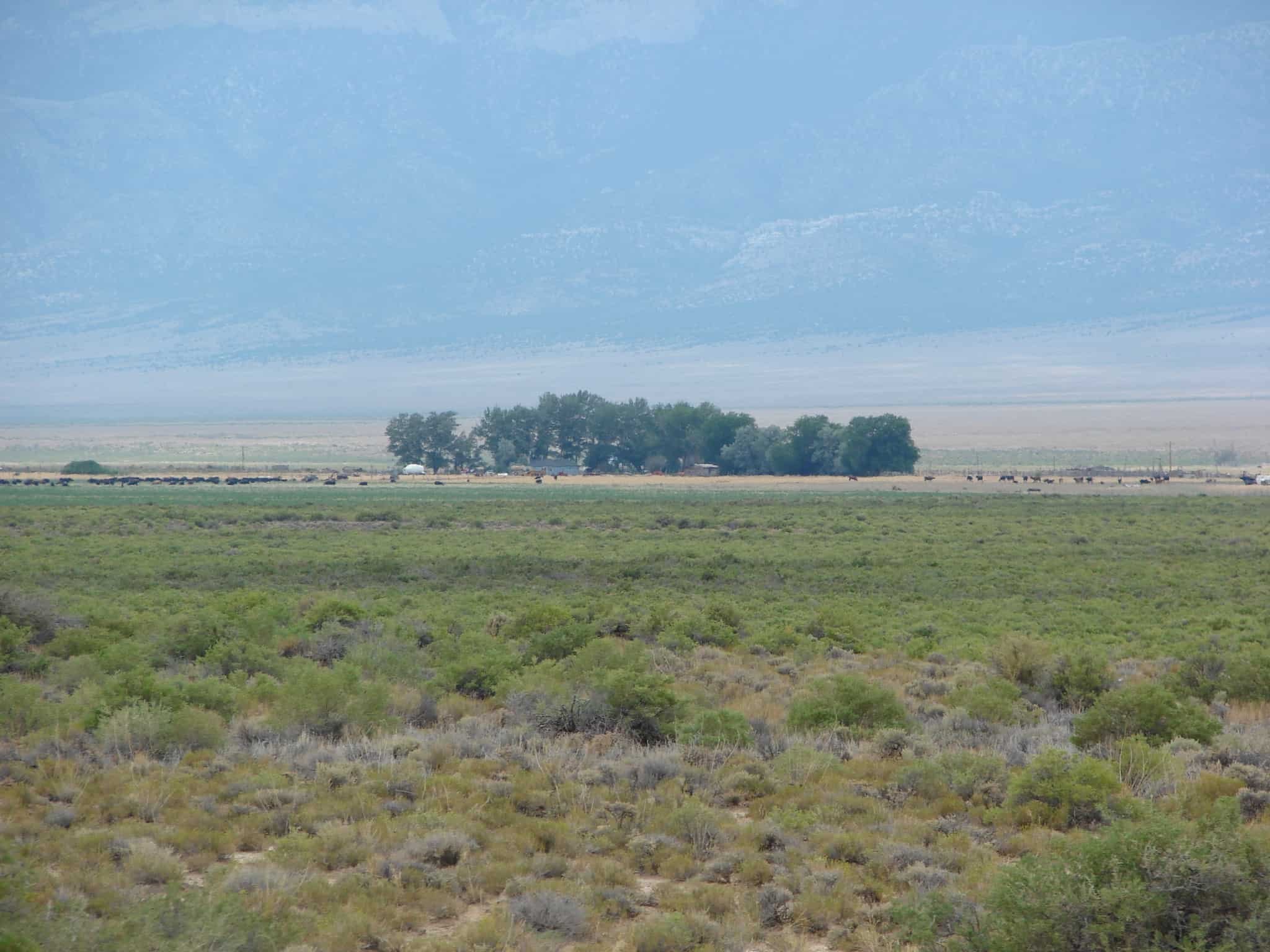
The Dearden Ranch was started in 1886 and has been home to the Dearden family ever since. The local springs that flow into Lake Creek have been informally named after the ranch, but are not named on maps or other documents, with the exception of water rights documents, which do name it Dearden Springs.(*)
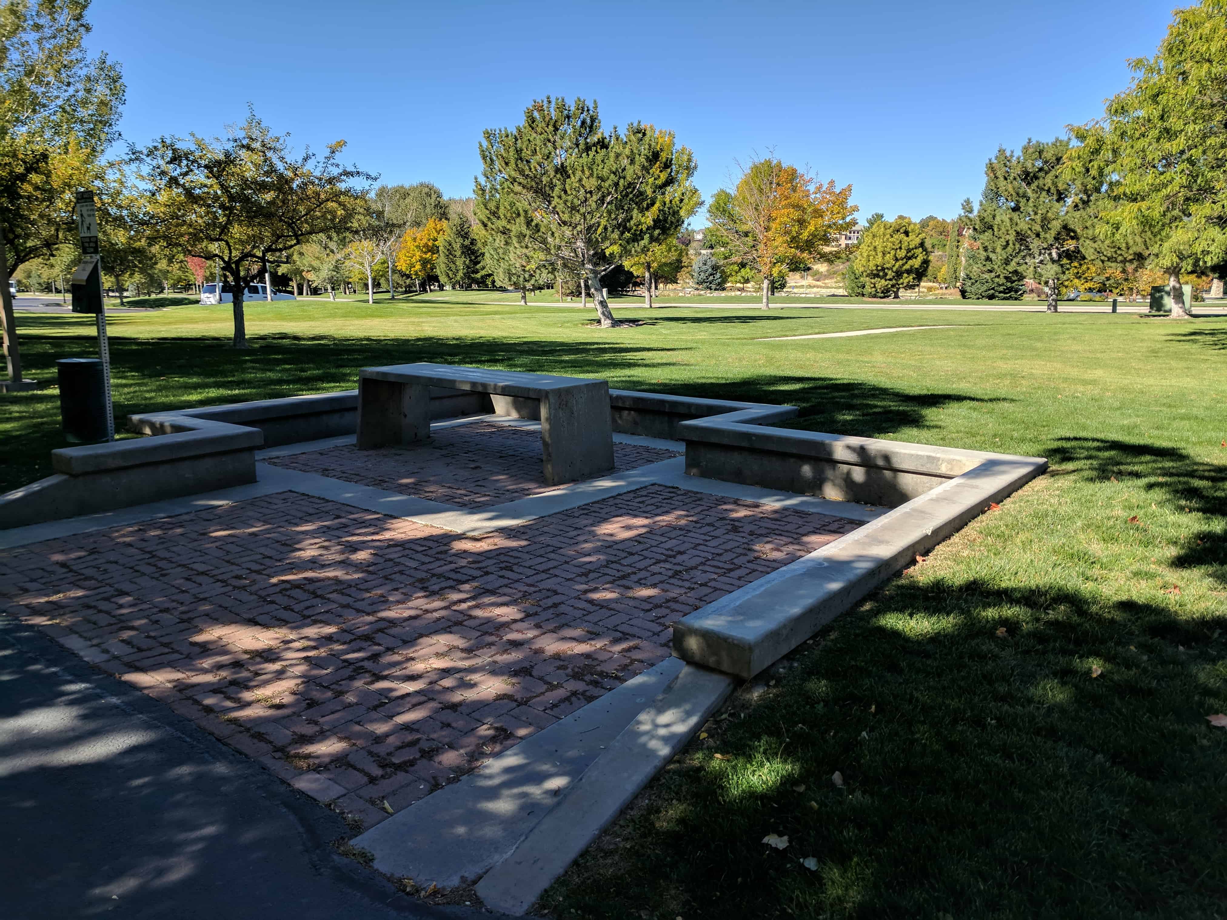
This park is dedicated to Ronald W. Last. He is a reminder to those who follow his example , that each individual can make a difference and everyone should try. He served his community tirelessly for 39 years as an educator, principal and city councilman. He constantly gave of his time, talents and wisdom, always contributing to the present and adding great promise to the future. He will long be remembered by countless students and friends who were touched by his many public and silent random acts of kindness.
Provo City is a better place because Ron last was here.
Ronald W. Last was the principal of Provo High School. It’s rumored that while principal he orchestrated an effort to force male students with long hair to get haircuts in the 70′s.
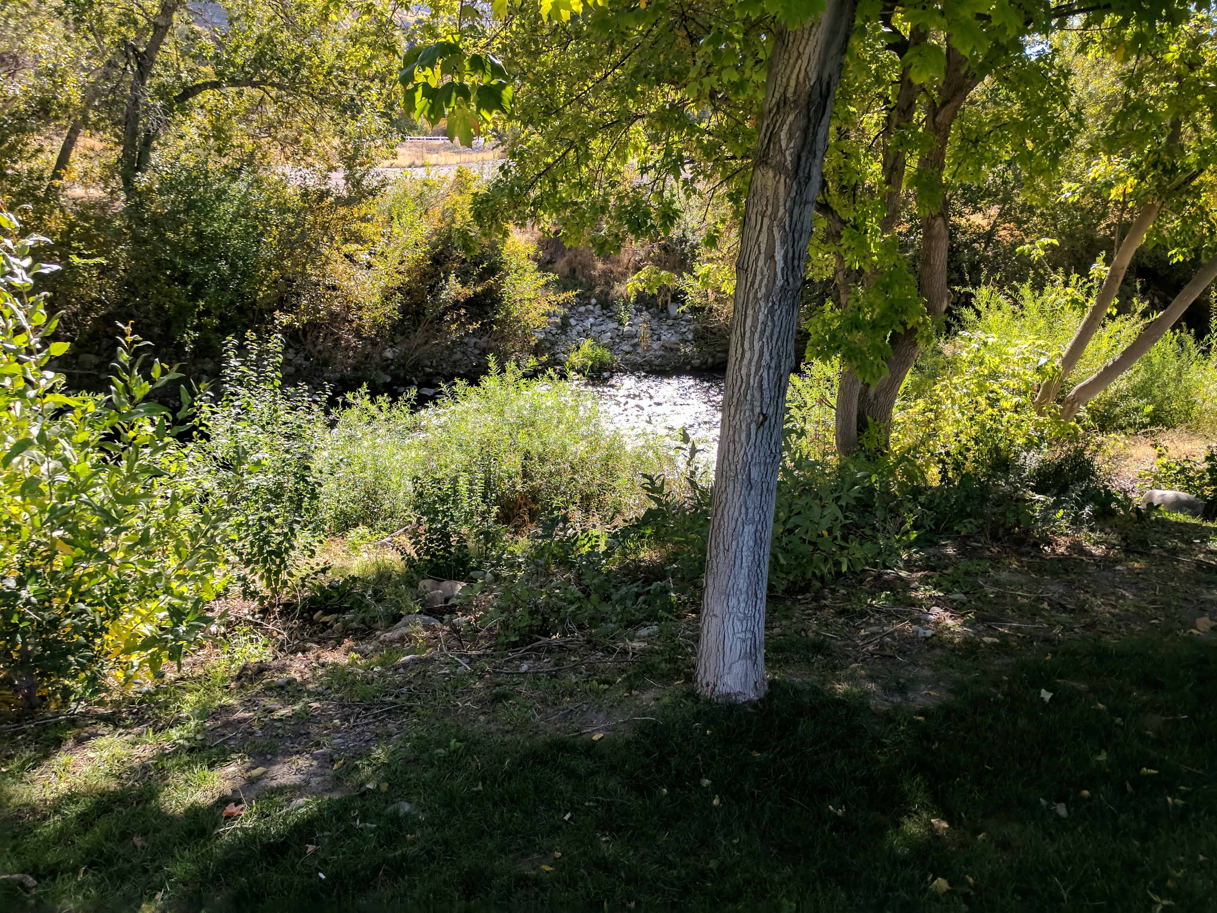
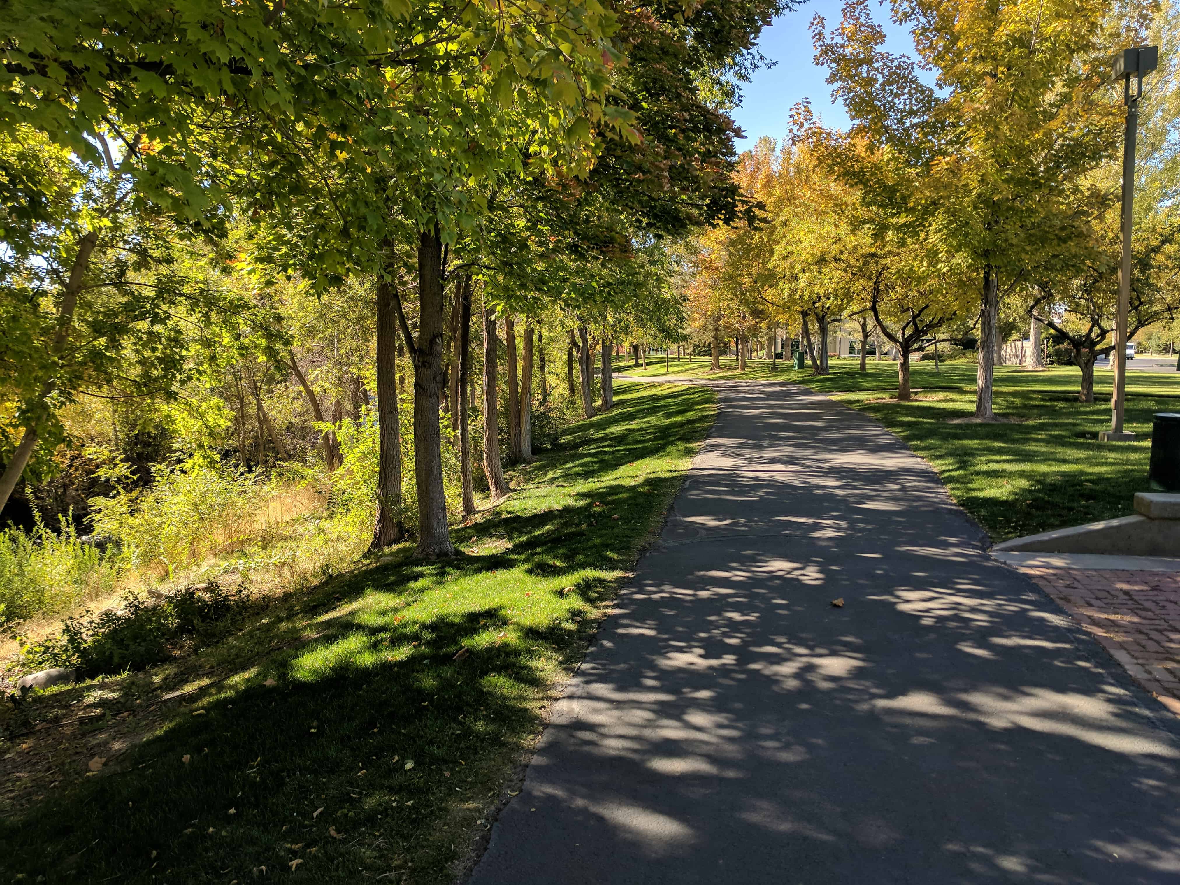
Caryhurst is another “used to be town” in what is now Provo/Orem, it’s at the mouth of Provo Canyon and on some maps is approximately where Provo’s Ronald W. Last Park is.
The Cecil and Mildred Dimick house, built in 1946, is a one story, stucco-covered, concrete block building on a concrete foundation. Designed in the Art Moderne style, this house is a good representation of the genre, particularly considering the agrarian landscape on which it was built. At one time surrounded by open farmland, the property is now situated in the midst of residential development. The Cecil I. and Mildred H. Dimick house is significant for its architecture as one of only six Modern classified houses in Orem, and as one of only three built in the Art Moderne style. The Art Modern style house is uncommon for Orem based on the fact that in the 1940s the community was still highly agrarian. Also because of the war-time economy, smaller, simpler tract-housing was being constructed with new types of material and construction methods being employed. Cecil, who was a school teacher, farmer, and an inspector at Geneva Steel, built this house while employed at the steel plant. The house represents the beginning of a shift from agriculture to industry when the U.S. Steel, Geneva Works Plant was being constructed, but in an uncommon form for Orem.
The Alvin Verd and Grace M. Washburn house, built ca. 1938, is a one story Pueblo Revival cottage with stucco walls on a concrete foundation. The house was converted from a single-family dwelling to a duplex with the excavation of a full basement apartment around 1980. The Washburn family owned an early service station and opened the first car dealership in Orem, a measure of prosperity that may have influenced their decision to build a house in an uncommon style for the area. As a one-story Pueblo Revival cottage with International Style and Art Modern influences, the house is unique in the community. It is significant as a well-preserved and rare example of these styles in Orem.
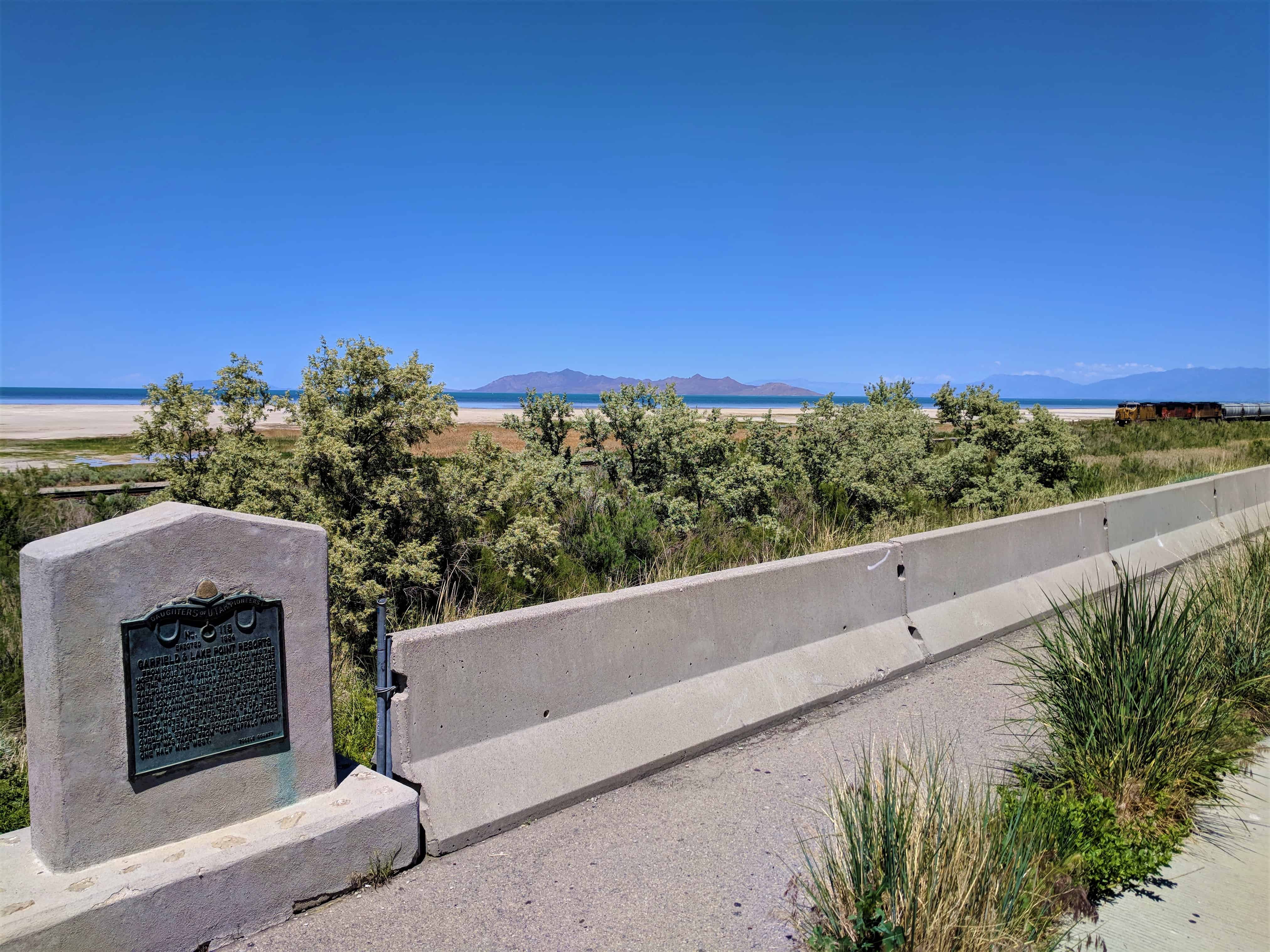
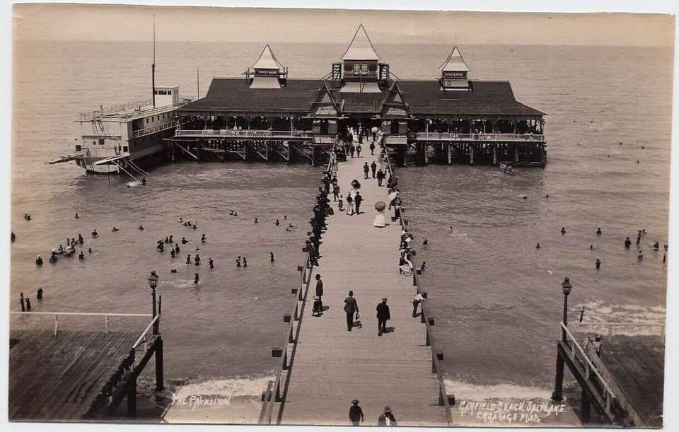
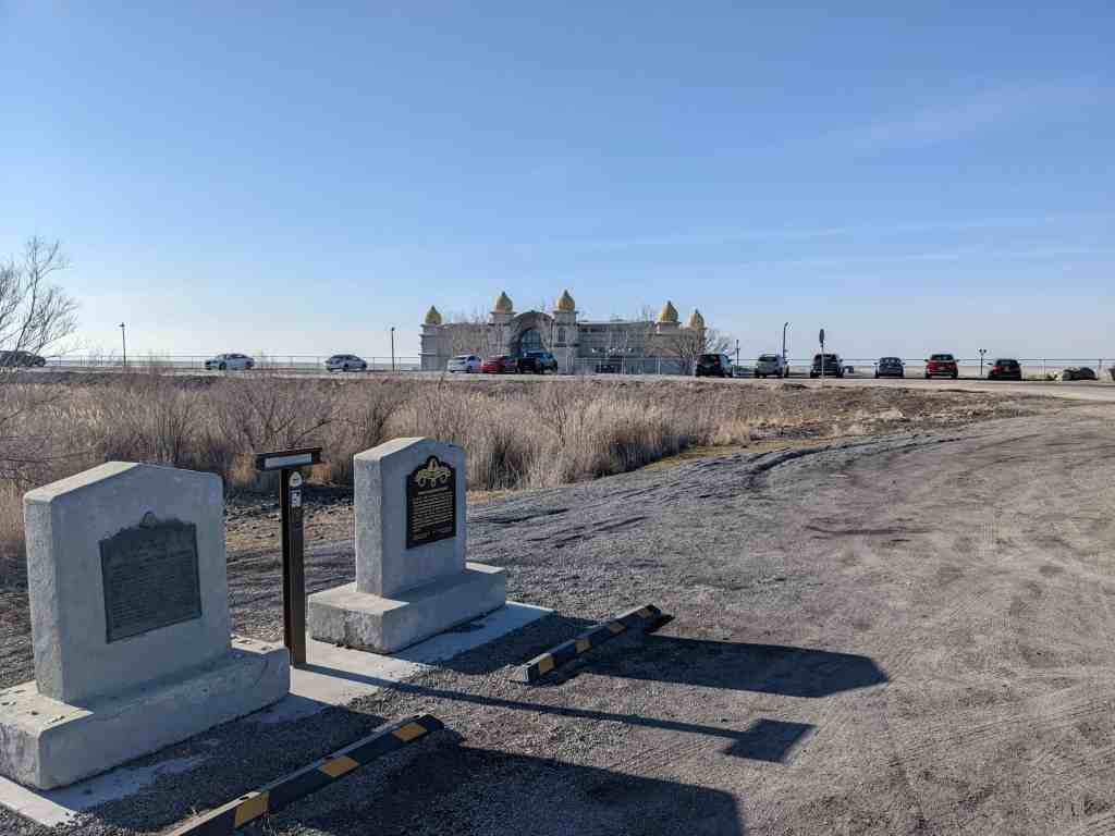
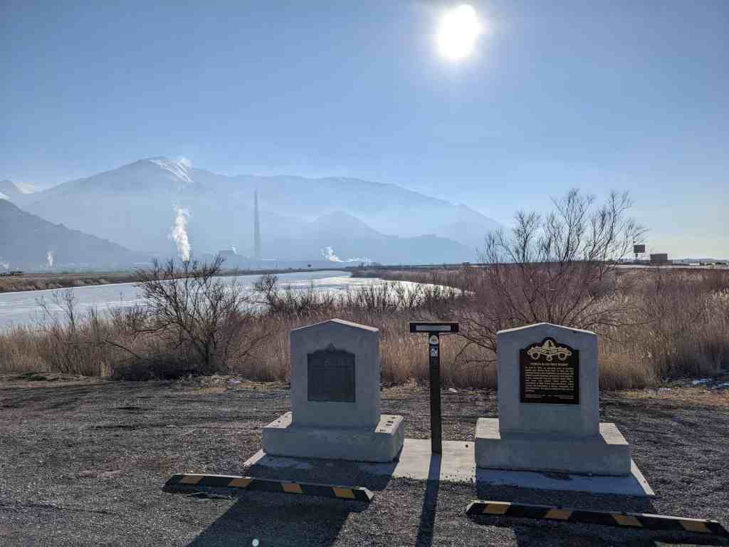
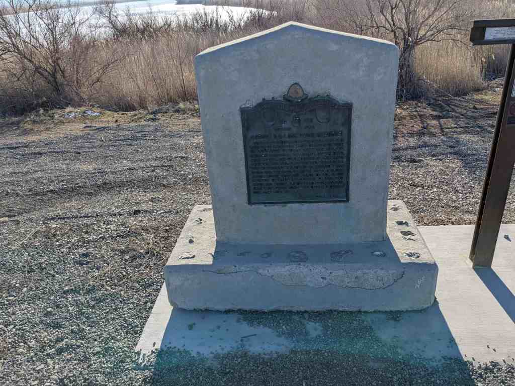
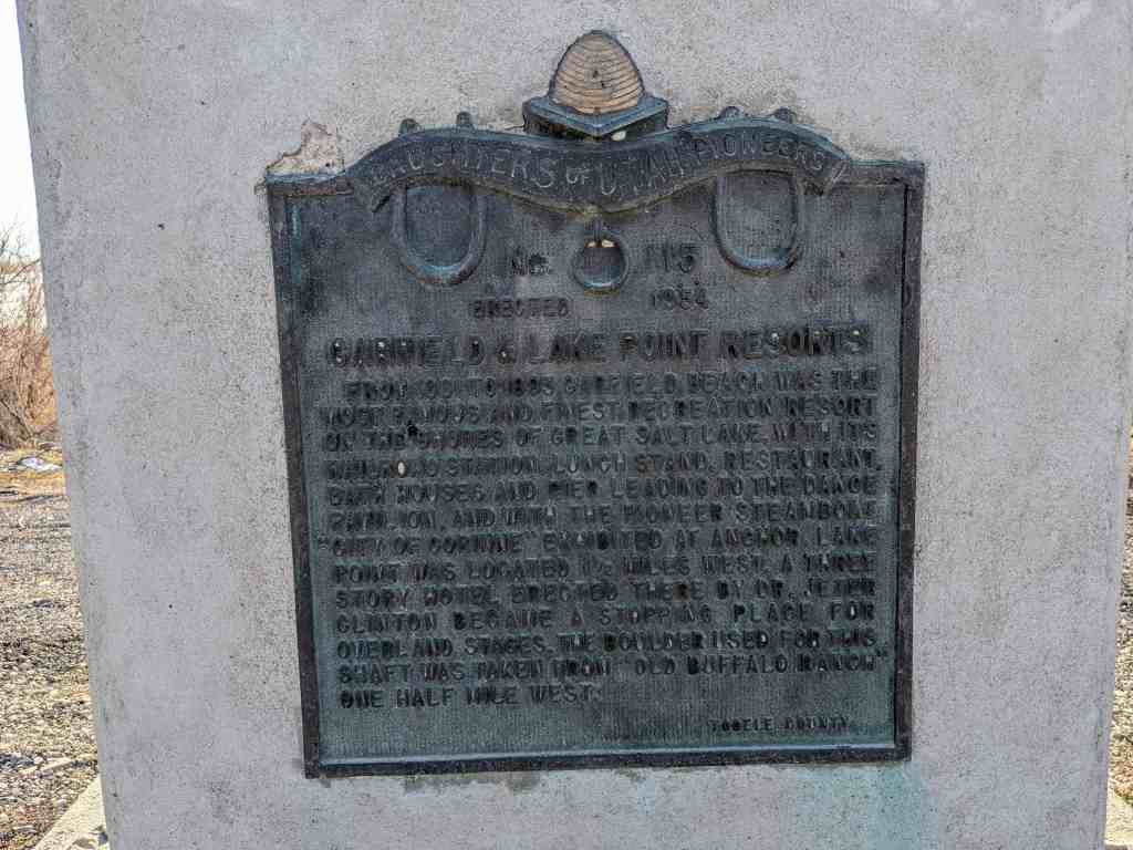
From 1881 to 1893 Garfield Beach was the most famous and finest recreation resort on the shores of the Great Salt Lake, with it’s railroad station, lunch stand, restaurant, bath houses, and pier leading to the dance pavilion, and with the pioneer steamboat “City of Corinne” exhibited at anchor. Lake Point was located 1 ½ miles West. A three story hotel erected there by Dr. Jeter Clinton became a stopping place for overland stages. The boulder used for this shaft was taken from “Old Buffalo Ranch” one half mile West.
The freeway pullout this was located at (N 40.71546 W 112.24008) was closed and this historic marker along with the other two also located there were moved to a new located just outside the Saltair, (N 40.74664 W 112.18543).
Castilla is three miles up from the mouth of Spanish Fork Canyon. Today the warm water sulpher springs form a swampy area alongside US 6,50. In the 1890′s the springs were the site of a popular resort including a hotel, cabins, bathing, and other recreational facilities. The resort was built in 1891 but was destroyed by fire in 1942 and never rebuilt. The springs were named by early travelers along this part of the old Spanish Trail after the province of Castile in Spain.
CASTILLA HOT SPRINGS
(Present-day map of Castilla in Spanish Fork Canyon, site of the Castilla Hot Springs resort in the early 1900s. Trainloads of visitors used to arrive by train for a day of diving, dining, drinking, and dancing.)
History
Spanish Fork Canyon was named for the Spanish priest-explorers Escalante and Dominguez who discovered the springs in September 776 as they followed the Spanish Fork River down the canyon. They called it Rio de Aguas Calientes (“River of Hot Waters”) because of the hot springs flowing into the river. The name Castilla may have been suggested by the castle-like rock formations nearby. In 1863, heavily armed Mormon troops traveling through Spanish Fork Canyon noted the presence of “unfriendly Indians” living around the hot springs (Jeffers, 1972). But by 1889, the Native Americans were gone and William Fuller had filed for a patent on the hot springs property with the U.S. government. He built a small house that contained a wooden tub for bathing in the mineral water. Later that year, a Mrs. Southworth felt that her health had been improved by bathing in the spring water, and she urged her two sons to buy the springs and “make a resort for people who have hopeless afflictions, that they may come and be cured.” They filled the swampy area with gravel and built a three-story, red sandstone hotel from sandstone quarried in a nearby canyon (Figure 4). Other structures included indoor and outdoor swimming pools, a store, a dance pavilion, private bathhouses, several private cottages, and a saloon. Picnic areas, a baseball diamond, and stables were also provided.
(Two historical photographs of the Castilla Hot Springs resort in about 1917. Elderly ladies may have come to Castilla for their rheumatism rather than recreation.)
During the summer months, the Denver and Rio Grande Railroad ran excursion trains to Castilla, and it was a regular passenger stop for many years. One of the more popular runs was the “moonlight excursion” from the Tintic Mining District in Juab County to Castilla. The train stopped at stations along the way to pick up passengers for an evening of dining and dancing. Besides providing recreation for many Utahans, the resort was the site of several “direct-use” enterprises, including a cigar factory and a quarry that furnished silica used as a flux by the Columbia Steel Company in Ironton, Utah. However, the main attraction was still the warm, sulfuric water. Bathers come from far and wide for the relief of their rheumatism and arthritis. The springs’ water also became popular as a cure for other ailments such as alcoholism, chain-smoking, moral dissipation, and the “tendency to use profane language.” In 1912, a noted sculptor with local ties, Cyrus Dallin bought the resort, but he had to rely on relatives to run it as he lived in Boston. The resort enjoyed a brief renewal of popularity in the 1920s, but by the 1930s, it had fallen into disuse. Work in a nearby rock quarry slowed the flow to the springs and the hotel fell into disrepair. In the 1940s, a fire destroyed most of the hotel. What remained was eventually torn down. By the 1970s, all that was left of the old resort was a concrete tank or cistern build over the hot sulfur spring. Sometime in the 1980s, the spring was blown up by local authorities because they had trouble controlling the visitors that frequented the springs. Nowadays, there is only a small railroad sign that says “Castilla,” and in a grassy area nearby, the remains of the soaking tubs and bits of foundation from the hotel.
Resource and Local Geology
The Castilla springs are located at an elevation of about 5,000 ft (1,525 m) within the Wasatch Mountains, not far from hot springs in the Thistle and Diamond Fork (Fifth Water) areas (Blackett and Wakefield, 2002). Klauk and Davis (1984) presented thermal and chemical data on two springs at Castilla. Temperature in both springs was 97EF (36EC). Cole (1983) measured temperatures of 108°F (42°C) and fluid discharges of 21 gpm (80 liters/minute) for the larger spring, and noted the location of the spring at an outcrop of faulted Paleozoic quartzite. The water chemistry generally appears to be of the Ca-Na-SO4 type. Cole (1983) reports that the isotopic composition of the Castilla spring water lies on the local meteoric water, indicating that not much mixing, evaporation, or high-temperature water-rock interaction has occurred during the evolution of the thermal fluid. Not much more is known about the geology of this forgotten hot spring area.(*)
********Castilla Hot Springs Attracted Trainloads of Visitors********
The Utah landscape is dotted with hot springs resorts that have come and gone. Although a few remain, most are merely memories to aging Utahns. One such popular resort during the 1890s and early 1900s was Castilla Hot Springs in Spanish Fork Canyon, Utah County. The name Castilla was suggested either by the castlelike rock formations nearby or because the Spanish priest-explorers Escalante and Dominguez discovered the springs in September 1776 as they followed the Spanish Fork River down the canyon. They called it Rio de Aguas Calientes (“River of Hot Waters”) because of the hot springs flowing into the river.
In 1889, more than 100 years later, William Fuller filed for a patent on the hot springs property with the U.S. government. On the land he built a small house which contained a wooden tub for bathing in the mineral water. Later, the Southworth family became interested in the property. Mrs. Southworth, the family matriarch, felt that her health had been improved by bathing in water from the springs. She urged her two sons, Sid and Walter, to buy the springs to “make a resort for people who have hopeless afflictions, that they may come and be cured.” The Southworths obtained the land from Fuller and began to improve it. They filled the swampy area with gravel and built a three-story, red sandstone hotel. Other structures included indoor and outdoor swimming pools, a store, a dance pavilion, private bathhouses, several private cottages, and a saloon. Picnic areas, a baseball diamond, and stables were also provided.
During the summer months the Denver & Rio Grande Railroad ran excursion trains to Castilla. One of the most popular runs was the “moonlight excursion” from the Tintic Mining District in Juab County to Castilla. The train stopped at stations along the way to pick up passengers for an evening of dining and dancing.
Besides providing recreation for many Utahns, the resort area was the site of several enterprises, including a cigar factory and a quarry that furnished silica used as flux by the Columbia Steel Company in Ironton, Utah. Nevertheless, the warm, sulfuric water remained the principal attraction at Castilla. Bathers came from far and near for the relief they believed they would find for such illnesses as rheumatism and arthritis. The springs’ water also became popular as a “cure” for other ailments such as alcoholism, chain-smoking, moral dissipation, and the “tendency to use profane language.”
In 1912 Sid Southworth died. Noted sculptor Cyrus Dallin, a native of Springville, helped his sister Daisy (Sid’s widow) financially with the resort. Eventually, he gained controlling interest in Castilla, but he had to rely on relatives to run it as he lived in Boston. The resort enjoyed a brief renewal of popularity in the 1920s, but by the 1930s it had fallen into disuse. Lack of funds and competition from other resorts contributed to its downfall.
In the 1940s a fire destroyed most of the hotel. What remained was eventually torn down. Today only a few ponds created by the springs mark the spot where the once-thriving resort stood.
I saw someone sharing three of George Edward Anderson’s awesome photos on facebook:
Joseph B. & Louisa Person Clark House (107 West 1600 North)
Joseph B. & Louisa Person Clark House
The Joseph B. and Louisa Pearson Clark house is a one-and-a-half story brick masonry Victorian eclectic-style, cross-wing type house built ca. 1903 and with several later additions to the rear. It was covered in stucco in the 1950s yet keeps some of its Victorian eclectic styling elements such as the raking cornice with cornice returns, a frieze board, and a transom over the large fixed pane window. In 1898 Joseph’s parents deeded twenty-eight acres to him. Joseph most likely built the house in 1903. Joseph had many different occupations during his life. He hauled rock for the building of the Salt Lake City LDS Temple; he farmed and raised stock on the Provo Bench, and later raised thoroughbred racing and saddle horses. Together with his father and brothers he owned one of the first general merchandise stores in Orem. He erected a dance hall that was later used as the high school gymnasium. The Clarks sold the property in 1906.
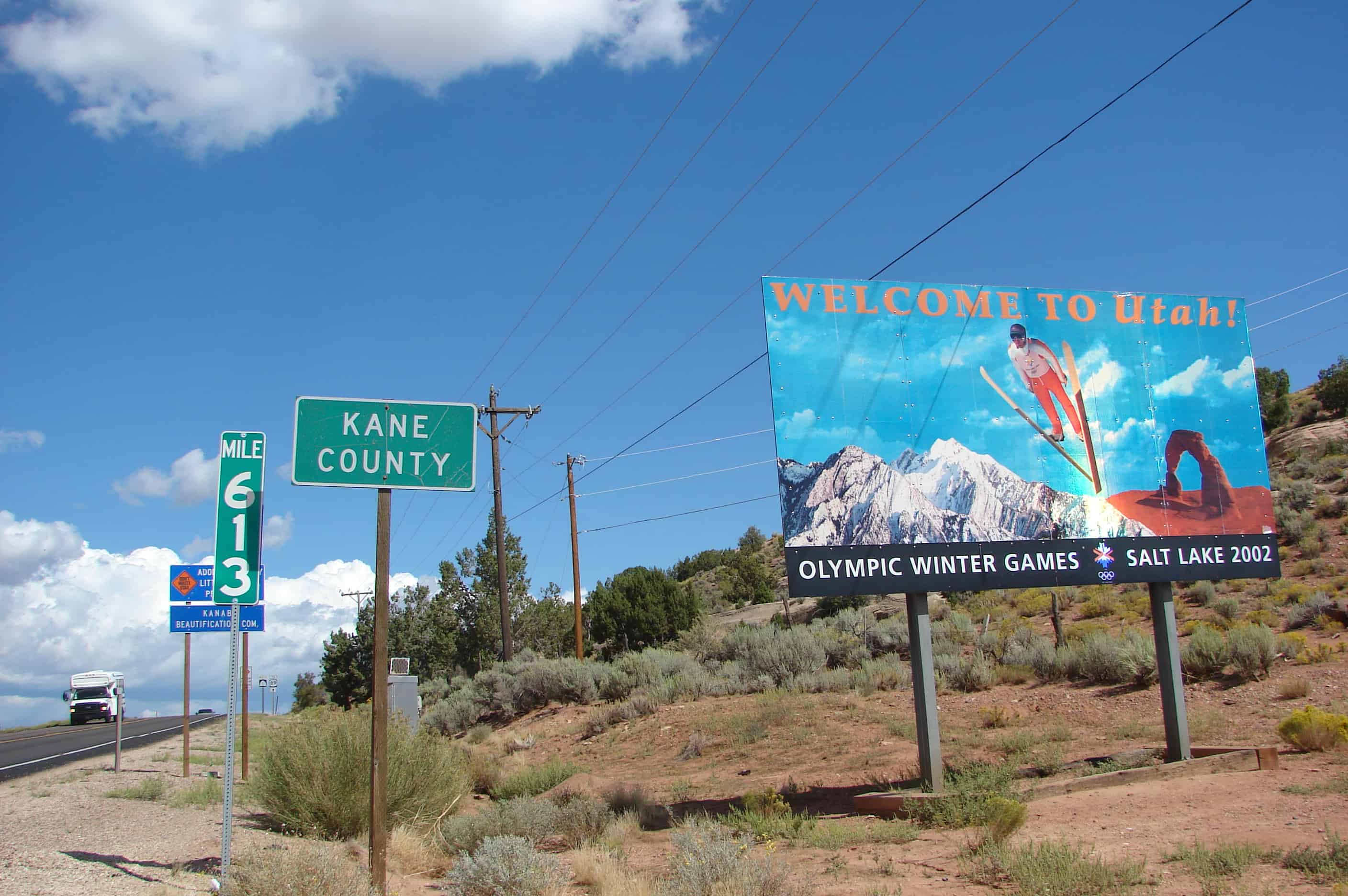
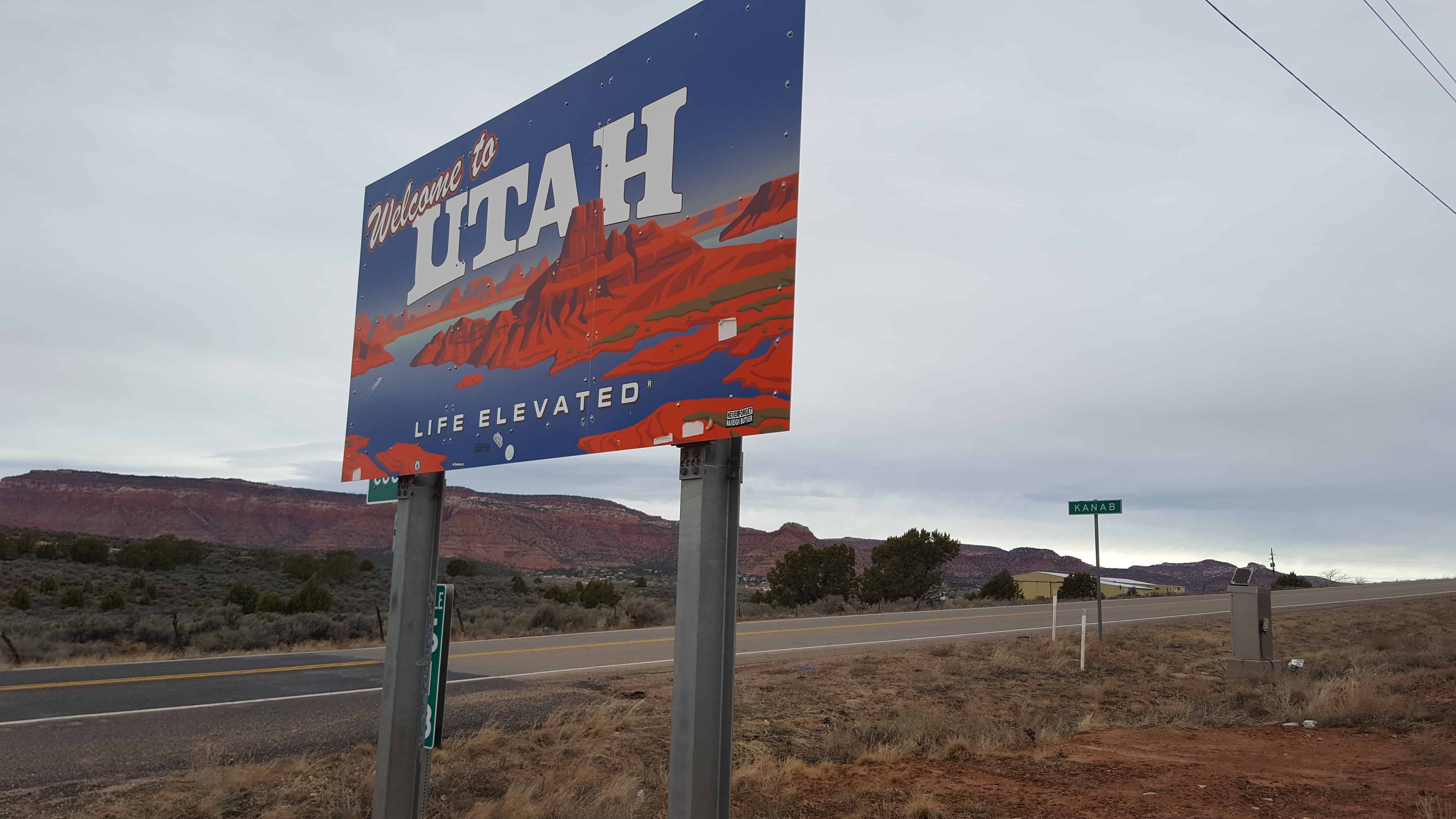
Kanab Known as “Utah’s Little Hollywood” for its western movie history, Kanab is Kane County’s largest area of population, as well as the county seat.
Population*: 4,312
Elevation: 4,925 ft.
Founded: 1870
Alton Nestled in northern Kane County’s high elevations, the tiny town of Alton occupies a scenic peaceful valley, not far from Bryce Canyon.
Population*: 119
Elevation: 7,041 ft.
Incorporated: 1984
Big Water Minutes from the shores of Lake Powell, Big Water is surrounded by some of the most spectacular scenery in the world.
Population*: 475
Elevation: 4,100 ft.
Incorporated: 1984
Duck Creek Located on Kane County’s Cedar Mountain, Duck Creek offers year-round activities for the whole family.
Population*:60
Elevation: 8,474 ft.
Glendale Glendale is located on scenic Highway 89, at the northern end of Long Valley. An entrance to the Grand Staircase-Escalante National Monument is right in the center of town.
Population*: 381
Elevation: 5,800 ft.
Incorporated: 1935
Mt. Carmel Mt. Carmel, at the junction of highways 9 and 89, is the gateway to Zion National Park’s east entrance.
Population*:116
Elevation: 5,192 ft.
Established: 1865
Orderville Orderville, initially established under the direct order of Brigham Young, has a rich history which is treasued by modern residents.
Population*: 577
Elevation: 5,250 ft.
Established: 1870
Charles R. & Hazel F. Gillman House (263 West 1600 North)
Charles R. & Hazel F. Gillman House
The Charles R. and Hazel F. Gillman house is a single story brick hall-parlor house built ca. 1908. It had two major additions, ca. 1935 and ca. 1975. The original house has Victorian Eclectic style details such as relieving arches over all of the windows, a transom over the large single pane fixed window on the gable end, and wooden sash double-hung windows on the east elevation. James H. Gillman purchased ten acres of land in 1905 and three years later transferred the title of a portion of that land, which now contains the house, to his son, Charles R. Gillman. Charles built the house ca. 1908-9. Charles was educated in the Orem schools and had a reputation throughout the Western states as a fruit grower. He owned and operated a store in Orem for many years and served as chief deputy county assessor. Charles Gillman was also active in politics and was a Democratic precinct chairman in Orem for several years.