• About JacobBarlow.com
  • Cemeteries in Utah
  • D.U.P. Markers
  • Doors
  • Exploring Utah Email List
  • Geocaching
  • Historic Marker Map
  • Links
  • Movie/TV Show Filming Locations
  • Oldest in Utah
  • Other Travels
  • Photos Then and Now
  • S.U.P. Markers
  • U.P.T.L.A. Markers
  • Utah Cities and Places.
  • Utah Homes for Sale
  • Utah Treasure Hunt

JacobBarlow.com

~ Exploring with Jacob Barlow

JacobBarlow.com

Monthly Archives: August 2016

Lincoln Beach

25 Thursday Aug 2016

Posted by Jacob Barlow in Uncategorized

≈ 3 Comments

Tags

Lincoln Beach, Parks, spanish fork, utah, utah county, Utah Lake

ingress_20130522_101210_0
2016-06-18 14.50.19

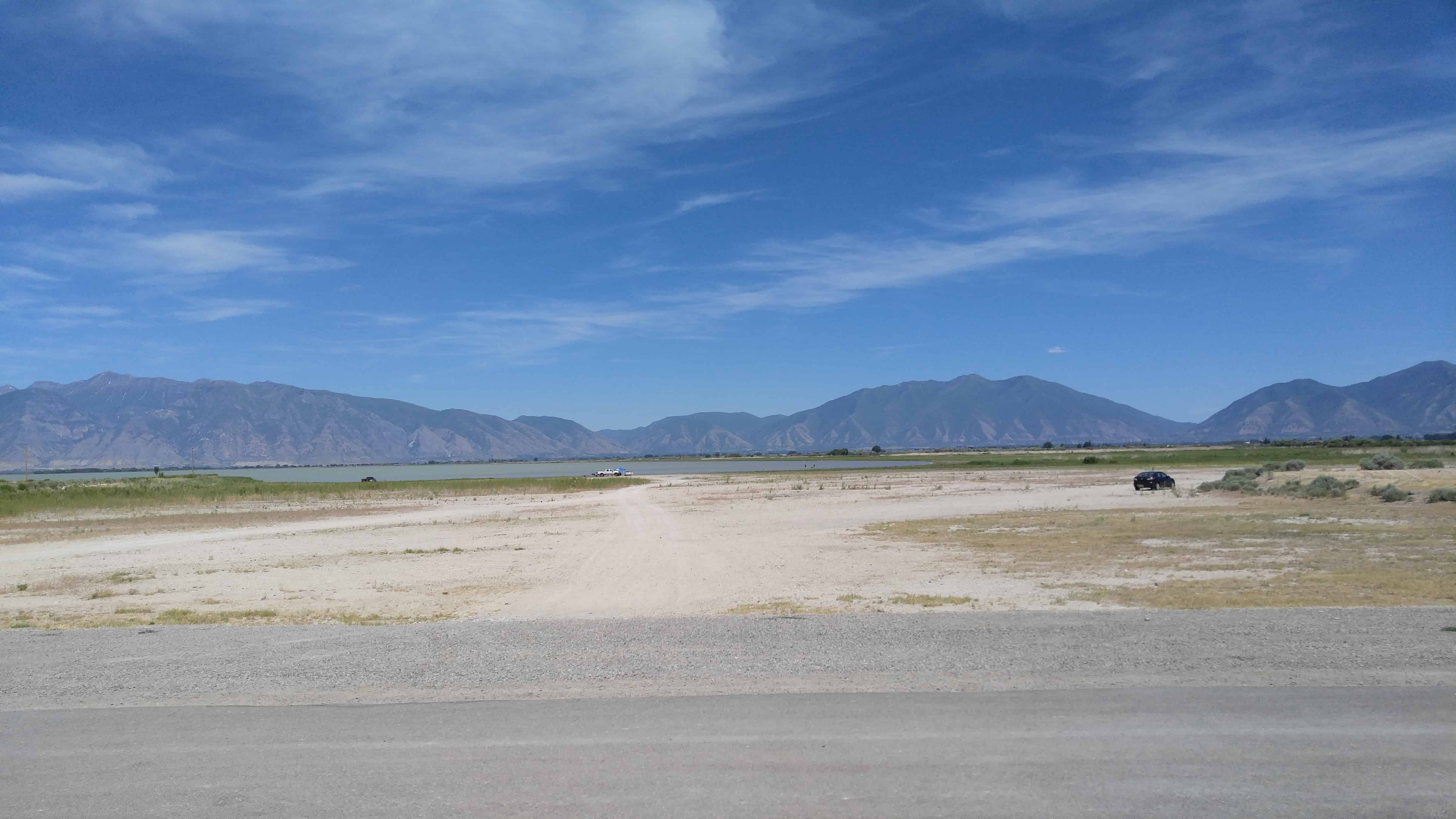
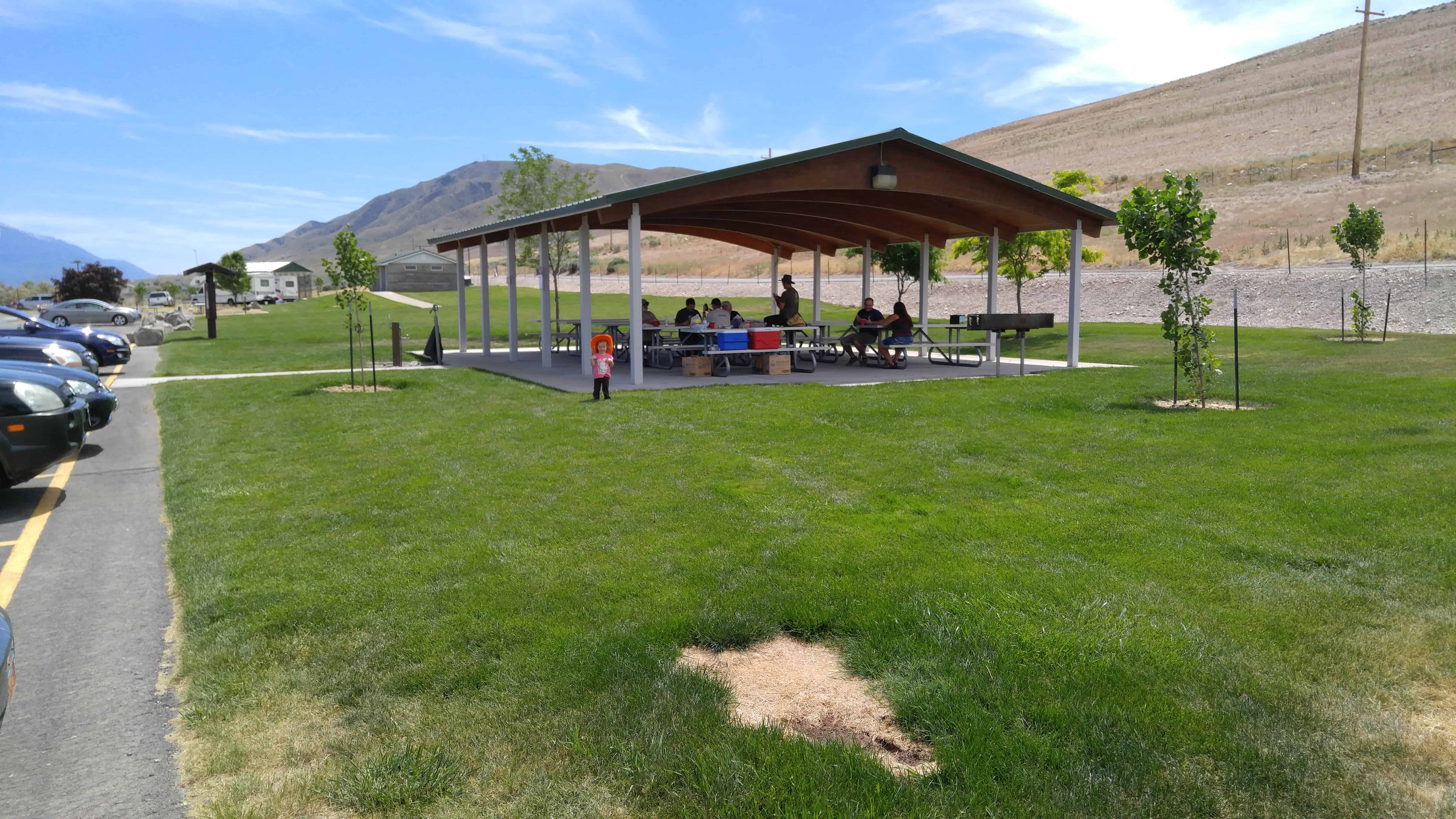
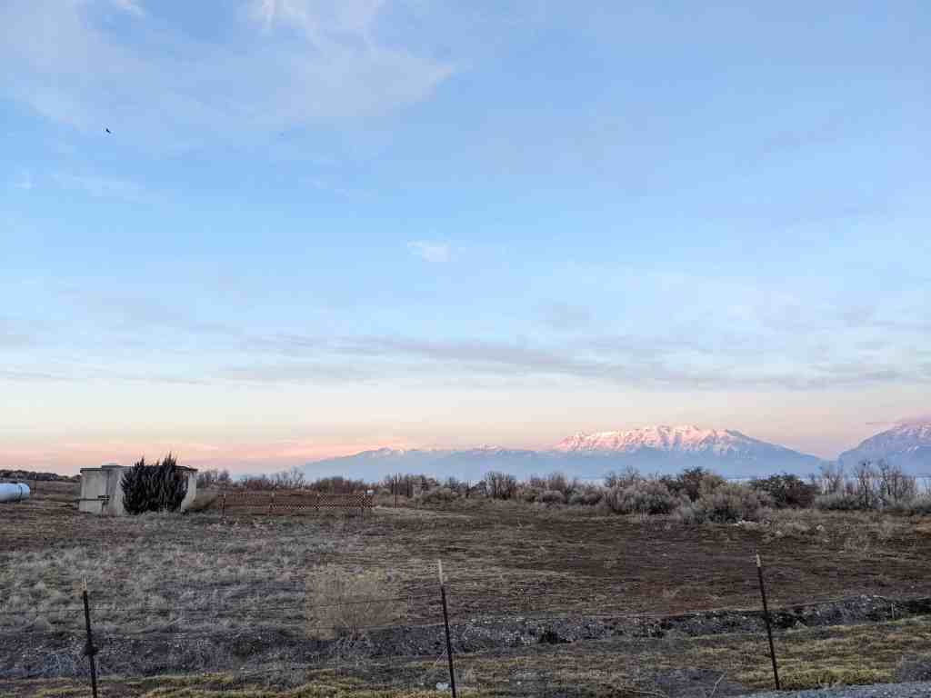
Lincoln Beach is a Utah County Park.  It’s along the Southern side of Utah Lake near Palmyra and West Mountain. Lake Road takes you around to Genola.

The history of the area known as Lincoln Beach following the settlement of Utah Valley is somewhat enigmatic. Prior to the arrival of the pioneer settlers, Lincoln Beach was a frequent haunt of Native American Indians who harvested fish from these shores. Some of their petroglyphs can still be found in the hills above us. What other puzzle pieces we do have lead us to believe that it was named after former President Abraham Lincoln. Furthermore, there have been a series of business ventures over the years attempting to transform this rocky shoreline into a lakeside resort offering hot water health spas, swimming pools, dance halls, and refreshment areas. While these were popular attractions, it was probably Lincoln Beach’s distance from the population centers of the Valley that led to their demise. With little more than horse and buggy, Lincoln Beach was a long, dusty ride for most.

Lincoln Beach’s modern history is said to begin around 1889 when John Hallet took settlement money from a mining accident and invested in the construction of a home and dance hall on a site a few hundred yards north of here. The remains of that original block house can still be seen. A few years later owing to his physical handicaps, Hallet leased the dance hall to Eric Nielson, a local orchestra leader. That arrangement, which lasted about two years, ended when Hallet sold his resort to Hyrum Argyle. Argyle’s vision and finances built a six or seven room motel for overnight guests, plus a swimming pool and a bath house. Using the naturally occurring hot springs, Argyle’s resort boasted a number of fun attractions, but again, its location apparently did not bring the people in. Argyle eventually relocated many of the resort’s buildings, such as the dance hall, to his home in Lake Shore where paying customers had less of a distance to travel.

In 1915, a Spanish Fork resident by the name of Henry Fernstein (or Fernsten) began developing anew the Lincoln Beach area. He poured his money into a cement swimming pool and piped in the lake’s hot springs water. Dressing rooms were added, the other amenities reopened, trees were planted and Lincoln Beach would again blossom, however, Fernstein disappeared without a trace with work left undone.

Through the years, Lincoln Beach has remained a part of Utah County’s history, and not always in the most favorable light. Due to this areas unique geology, let’s just say a number of people have drowned. During the winter months when Utah Lake often freezes, the ice surrounding the hot springs and Rock Island (Bird Island) is deceptively thin, plus some of the lake’s deepest points are not far from this shore.

Now, another era is beginning. Utah County Parks with the assistance and cooperation of the Utah Division of Wildlife Resources has invested a good portion of its resources into making this Utah Lake shore attractive once again. Although a large scale resort similar to the dreams of days gone by is unlikely, Utah County hopes to insure that the memories here live on and that new ones can be made for those who choose to visit.

Photos Top to Bottom: Jack Mitchell and friends count their day’s catch of fish. The Fernstein sons near Dad’s resort and posing at the cement pool. Hot springs can be seen pouring into the cement pool.
At left: The Argyles. Far left: The remains of Hallets original 1889 stone walled home.
Photos courtesy of Mattie Barney Cornaby.

Photos Top to Bottom: Jack Mitchell and friends count their day’s catch of fish. The Fernstein sons near Dad’s resort and posing at the cement pool. Hot springs can be seen pouring into the cement pool.
At left: The Argyles. Far left: The remains of Hallets original 1889 stone walled home.
Photos courtesy of Mattie Barney Cornaby.

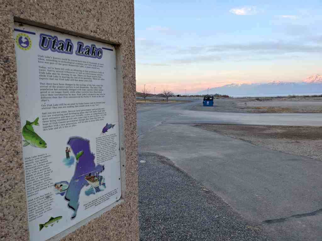
Utah Lake’s history could be traced back tens of thousands of years when, according to archeological evidence, our little body of water here was part of the great Bonneville Lake, a giant inland sea.

Today, we’ve been left with an offspring of that prehistoric body of water. Fed by several tributaries as well as subterranean sources, Utah Lake may be showing its age. There are those experts that claim Utah Lake is nearing the end of its mortality. There are other experts that say Utah Lake still has many years left.

That there have been changes in the ecology of the lake since the arrival of the pioneer settlers is not disputable. The lake’s fish population has certainly changed with some species either endangered or no longer found, while other varieties have flourished since their introduction by man. Utah Lake’s chemistry may also be different than that first encountered by Parley P. Pratt in the late 1840’s.

Can Utah Lake still be an asset to Utah County and its diverse population? That you are reading this would seem to say “yes”.

And you are not alone. Several local government and private entities are evaluating and developing plans that will make Utah Lake more attractive and more user friendly. A plan as comprehensive as those being considered will take some time to put in place. It is the hope of Utah County government though that some day soon, we, together with a new generation, will be able to more fully enjoy this lake and all it has to offer.

Utah Lake boasts a surface area of approximately 133 square miles, or a hundred thousand surface acres. It is a shallow water lake with a maximum depth of about 16 feet, but an average depth of around 10 feet. Utah Lake offers marinas, boat launches, fishing, skiing, and serves as trail heads for both the Provo and Jordan River parkways.

Utah Lake has been a source of food and recreation for as long as man has inhabited this region. Some fish varieties include catfish, bass, bluegill, carp, walleye, and an occasional trout.

Several resorts once dotted the shoreline of Utah Lake including here at Lincoln Beach. There were others near Provo and where Saratoga Springs now thrives. Around 1891, a regular boat trip for both passenger and freight service was established between Provo and the Tintic area. Early valley residents recognized that Utah Lake holds many opportunities. And now with fresh eyes, it is hoped that these might be revisited.
2016-06-18 14.50.12
2016-06-18 14.50.22

Monks Hollow

25 Thursday Aug 2016

Posted by Jacob Barlow in Uncategorized

≈ Leave a comment

Tags

Diamond Fork, Diamond Fork Canyon, Monks Hollow, spanish fork, spanish fork canyon, utah, utah county

2016-06-12 19.49.31

Monks Hollow is a campground and trailhead in Diamond Fork Canyon.

2016-06-12 19.49.40
2016-06-12 19.49.43

This trail, which is also an ATV route, begins in a grassy meadow and then makes a steep climb through scattered maple and scrub oak, eventually leveling out into a gently climbing trail.  This trail provides a panoramic view of Diamond Fork and the surrounding mountain ranges.  At the end of the six mile trek, the Monks Hollow Trail ends and the Longs Hollow Trail begins.

Miners Memorial Park

25 Thursday Aug 2016

Posted by Jacob Barlow in Uncategorized

≈ 4 Comments

Tags

Diamondville, Lincoln County, Memorials, Wyoming

376c268b-1dfa-4603-a2ba-5f8c5fb8e72b

Miners Memorial Park in Diamondville, Wyoming.

A nice park right off the main road in Diamondville.

Miners Memorial Park was built totally by donations and volunteer labor. It was established to honor the coal miners, both men and women, of south Lincoln County, past, present, and future, who have created a unique culture in our country, many of them losing their lives in the mines. On display in the park is Diamondville’s only memorial statue. The park was dedicated on June 1, 1990 with Wyoming’s Governor, Mike Sullivan, and the United Mine Workers of America President, Cecil Roberts, cutting the ribbon. The dedication coincided with the 100th year commemorations for both Wyoming and the UMWA.

PROCLAMATION

WHEREAS, in 1868 coal was discovered on the hillside, across the Hams Fork River, from the present site of the Town of Diamondville; and WHEREAS, Diamondville’s name was derived from the quality of the coal mined here, as it seemed to resemble black diamonds and was of a superior grade; and WHEREAS, the Miners Memorial Park was built to honor the coal miners of South Lincoln County; past, present and future; the men and women who created a unique way of life in our country; the many who gave their lives in the mines.

NOW THEREFORE, I, MIKE SULLIVAN, Governor of the State of Wyoming, do hereby proclaim June 1, 1990, to be “DEDICATION OF MINERS MEMORIAL PARK” in Diamondville, Wyoming.

1e15f802-822f-460a-b441-cc7c47b0fa2c
9ef2a1d4-c0ab-42c9-b5af-8dd0117a8259
66b29bcd-c551-4c12-88ad-6eba15b367ad
e116b07d-bed5-41fa-a1b0-590944c326a5


Lincoln County, Tennessee

25 Thursday Aug 2016

Posted by Jacob Barlow in Uncategorized

≈ 1 Comment

Tags

historic, Lincoln County, Tennessee

fe54a900-c038-405f-b948-d5ed00e95abe

Lincoln CountyEstablished 1809; named in honor of MAJOR GEN. BENJAMIN LINCOLN of the Revolutionary Army. After service at Saratoga, he was put in Chief Command in the Southern Colonies. Later, he was Secretary of War under the Confederation, 1781-83.

Located on the Tennessee/Alabama State line.

a480d30d-ed5f-44c5-8d19-0ab990b2c3f4

9d9c936c-b6ba-4387-9209-5ddd0e1a8655

Benchmark: GR0066 “J160” Azimuth Mark

25 Thursday Aug 2016

Posted by Jacob Barlow in Uncategorized

≈ Leave a comment

Tags

Benchmarks, Clark County, historic, Nevada

a88097c7-7f1c-40ca-9516-60280244d729

Out exploring I found the Azimuth Mark for Benchmark: GR0066 “J160.”

6d2116fc-c80b-400f-9ae0-62a2976030b0

O. Doyle Crook Memorial Rose Garden

25 Thursday Aug 2016

Posted by Jacob Barlow in Uncategorized

≈ 2 Comments

Tags

Memorials, Santaquin, utah, utah county

8cbbf718-e582-4ea8-91da-cf30300dd8eb

The O. Doyle Crook Memorial Rose Garden is in Santaquin, just outside the Chieftan Museum.

4f9d1deb-2be5-487b-9185-ddcf209a25ca
41672799-cb35-40db-bcf6-3a2641edfea6

Oscar Doyle Crook, 68, of Santaquin, beloved husband, father, grandfather, died April 26, 1992, at Mountain View Hospital, Payson, Utah, of heart failure.

He was born December 11, 1923, at Santaquin, Utah, a son of Oscar Frederick and Ida Fay Patten Crook. He married Idonna Walker, September 14, 1946, in Santaquin. The marriage was later solemnized in Saint George LDS Temple.He retired from Nebo School District after 28 years of service. He was Bishop of Santaquin 2nd Ward for eight years. He served in stake and ward positions. He was mayor of Santaquin for eight years. In 1974 he received the Distinguished Service Award from Utah County Council Government; 1975 Citizen of the Year recipient from the Utah County Council of Government. He was United States Army Veteran, serving in World War II in the South Pacific. Former commander and adjutant of the Santaquin American Legion Post 84, and a member for 38 years.

Echo Canyon – Westbound Rest Area

25 Thursday Aug 2016

Posted by Jacob Barlow in Uncategorized

≈ 4 Comments

Tags

Echo, Echo Canyon, Rest Areas, summit county, utah

2018-05-31 17.06.46

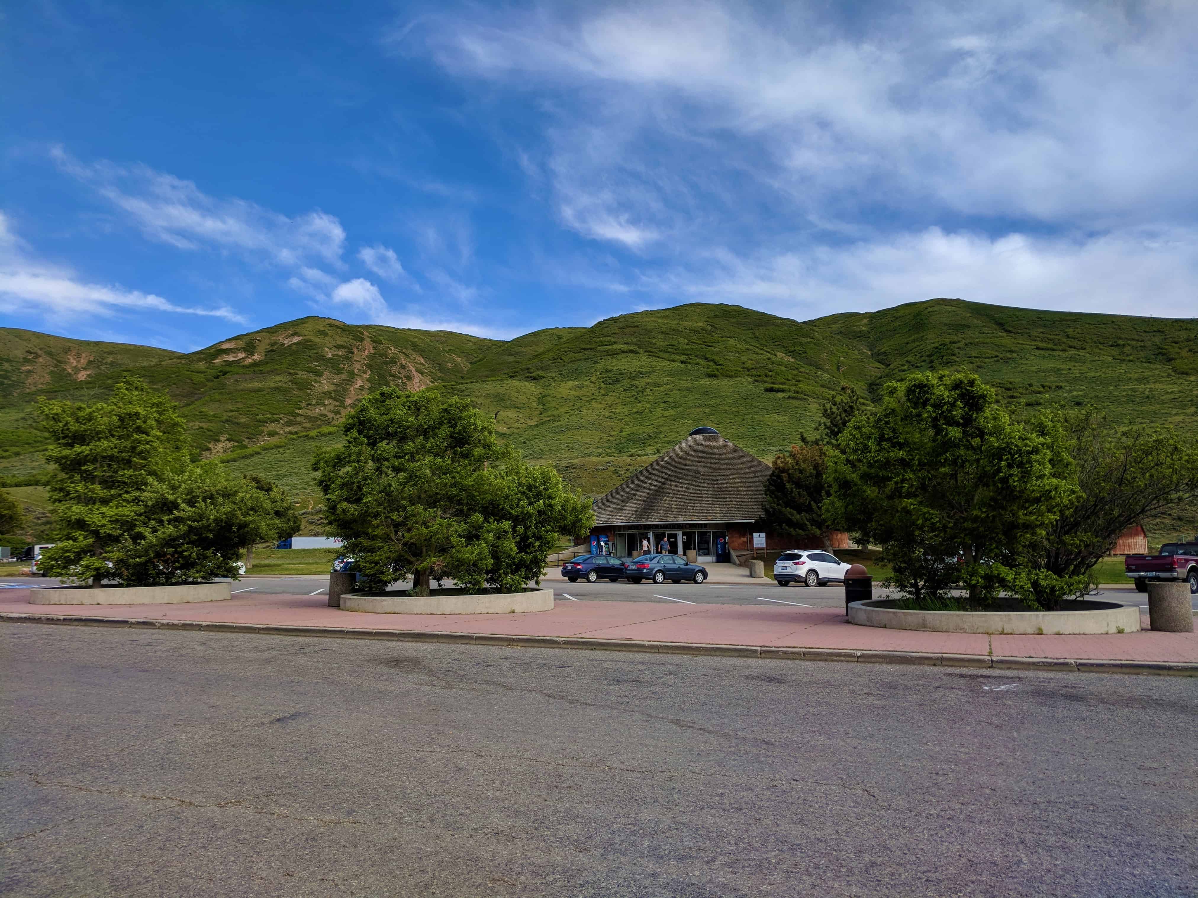
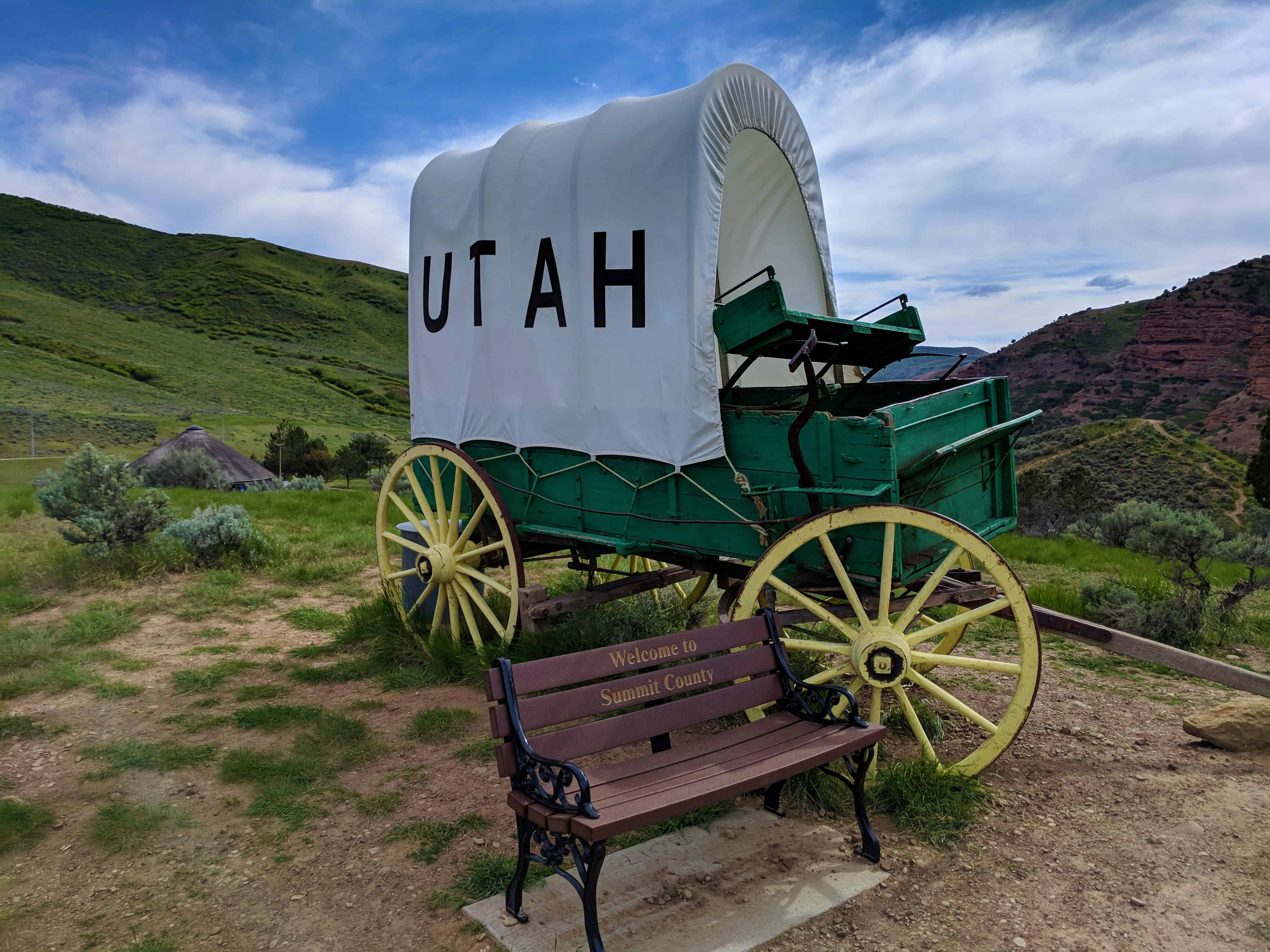
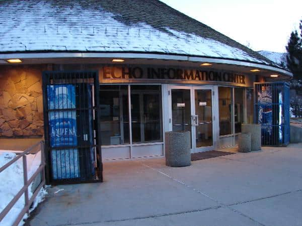
The Echo Canyon – Westbound Rest Area on Interstate 80.

There’s an information center, restrooms, a small hike up to a memorial on a hill and some great views.

Located here:

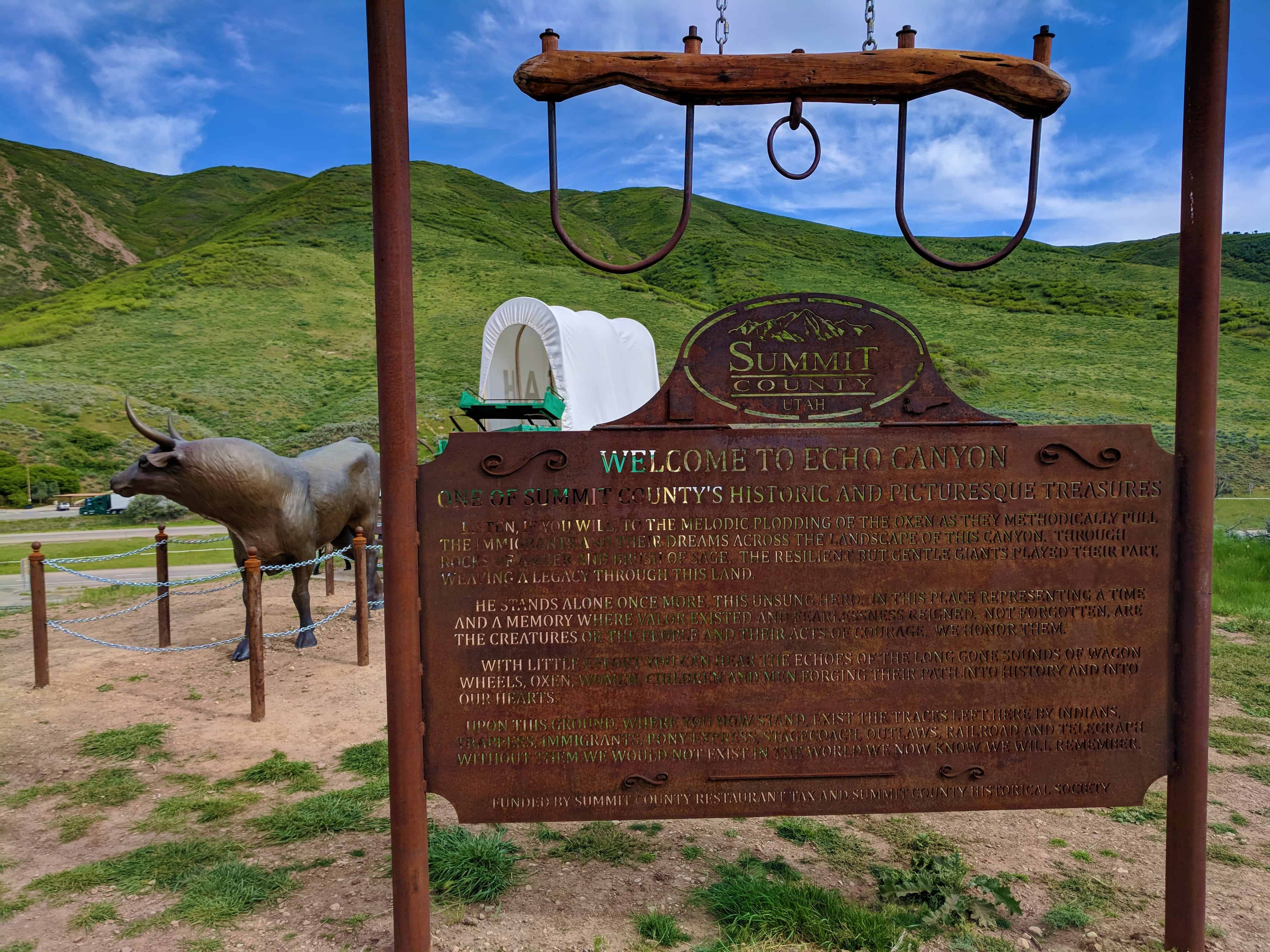
  • Welcome to Echo Canyon (historic marker)

2018-05-31 17.17.04

2018-05-31 17.07.03

2018-05-31 17.06.55

2018-05-31 17.07.06

2018-05-31 17.12.02

2018-05-31 17.15.04

2018-05-31 17.15.49

2018-05-31 17.15.56

2018-05-31 17.16.00

2018-05-31 17.24.01

2018-05-31 17.10.15

2018-05-31 17.10.21

2018-05-31 17.10.09

2018-05-31 17.10.07

2018-05-31 17.09.49

aea0b3e1-c2de-4e17-97a0-f6f5106909d3

5d84e720-8ab8-4f13-a42b-4130003c9f9a
558cb412-e24c-4b6e-a702-87457f7f2ff4
649e0ceb-975f-4ade-9b78-9d1f18ece5d9
db6c21eb-7877-446a-a2cf-481cc3e95d6b

Diamond Fork Canyon Mines

25 Thursday Aug 2016

Posted by Jacob Barlow in Uncategorized

≈ 1 Comment

Tags

Diamond Fork, Diamond Fork Canyon, Mines, Mining, spanish fork, spanish fork canyon, utah, utah county

2016-06-12 19.29.59

A couple cool mines I was checking out in Diamond Fork Canyon, they are across the canyon from each other, the one on the south side of the canyon is across the river from the road and the other is above the road – both are easy to miss if you aren’t watching.

Yerba Buena Gardens

25 Thursday Aug 2016

Posted by Jacob Barlow in Uncategorized

≈ 2 Comments

Tags

California, San Francisco, San Francisco County

2016-06-02 15.26.08

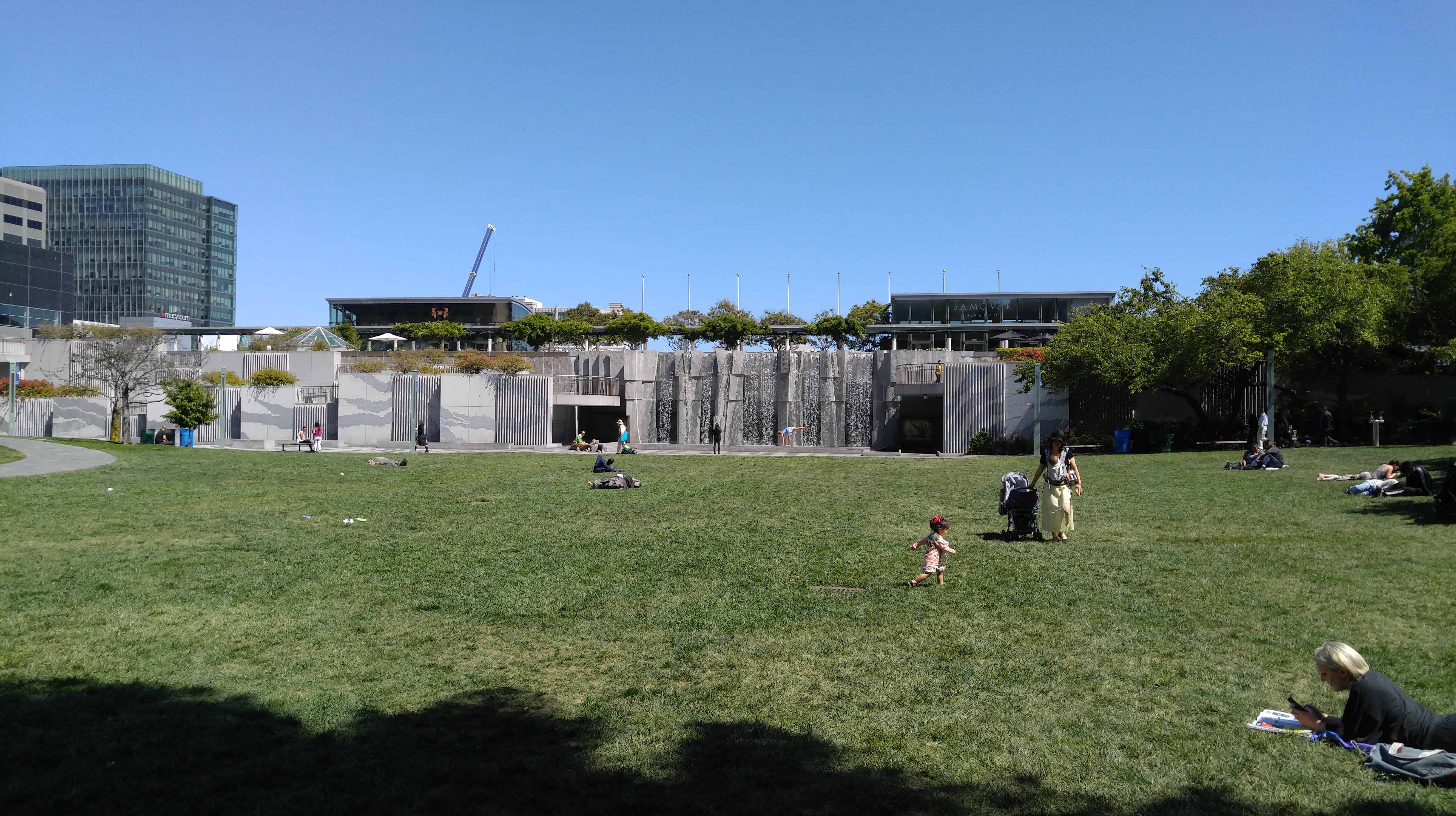
Yerba Buena Gardens is the name for two blocks of public parks located between Third and Fourth, Mission and Folsom Streets in downtown San Francisco, California. The first block bordered by Mission and Howard Streets was opened on October 11, 1993. The second block, between Howard and Folsom Streets, was opened in 1998, with a dedication to Martin Luther King, Jr. by Mayor Willie Brown. A pedestrian bridge over Howard Street connects the two blocks, sitting on top of part of the Moscone Center convention center. The Yerba Buena Gardens are owned by the San Francisco Redevelopment Agency and were planned and built as the final centerpiece of the Yerba Buena Redevelopment Area which includes the Yerba Buena Center for the Arts.

Yerba Buena was the name of the town in the Mexican territory of Alta California that became the city of San Francisco, California, after it was claimed by the United States in 1846.

2016-06-02 15.22.21
2016-06-02 15.24.37
2016-06-02 15.26.04
2016-06-02 15.27.21
2016-06-02 15.59.44

St. Patrick’s Catholic Church

25 Thursday Aug 2016

Posted by Jacob Barlow in Uncategorized

≈ 1 Comment

Tags

California, Churches, historic, Historic Buildings, San Francisco, San Francisco County

2016-06-02 15.58.35

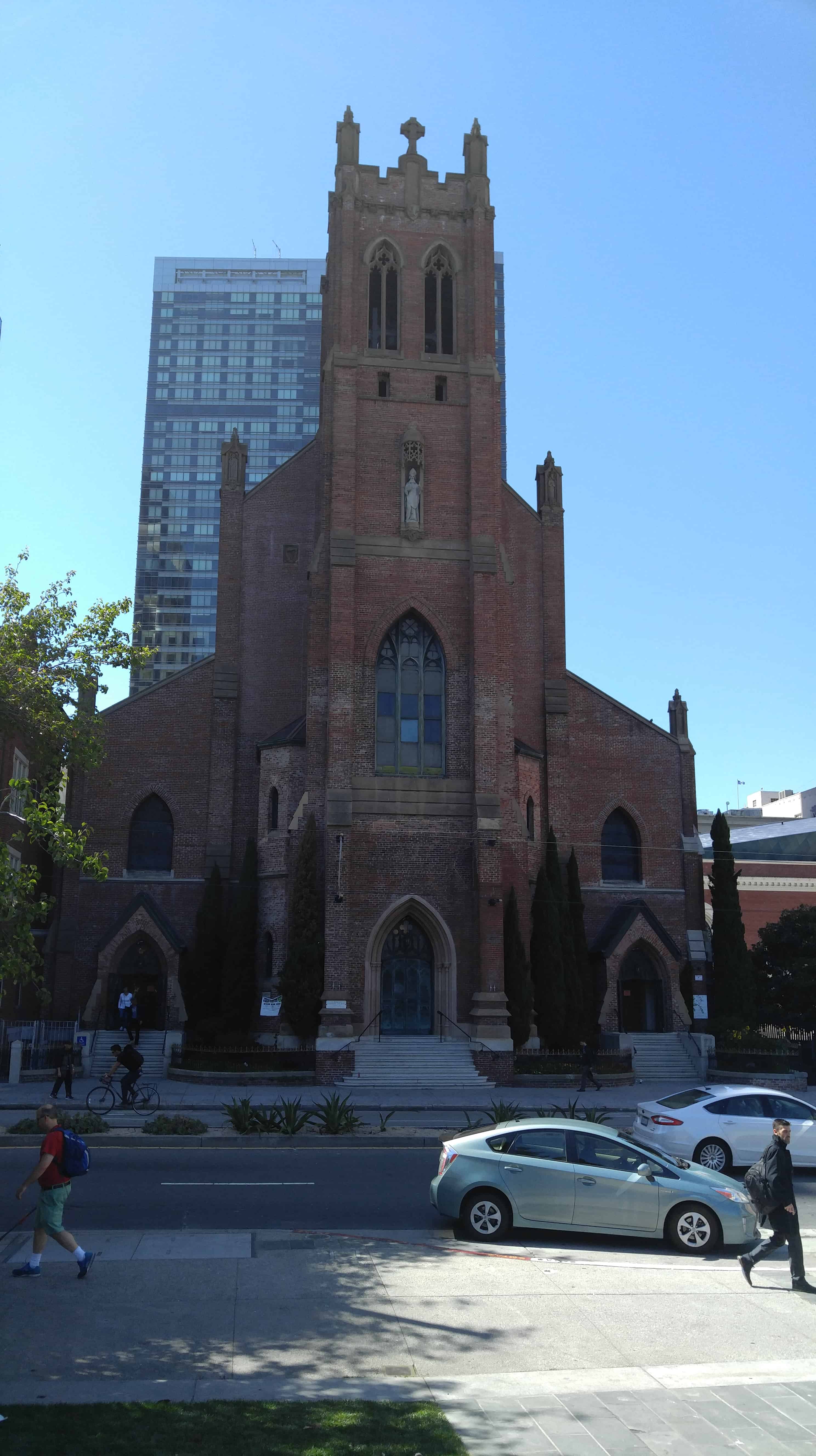
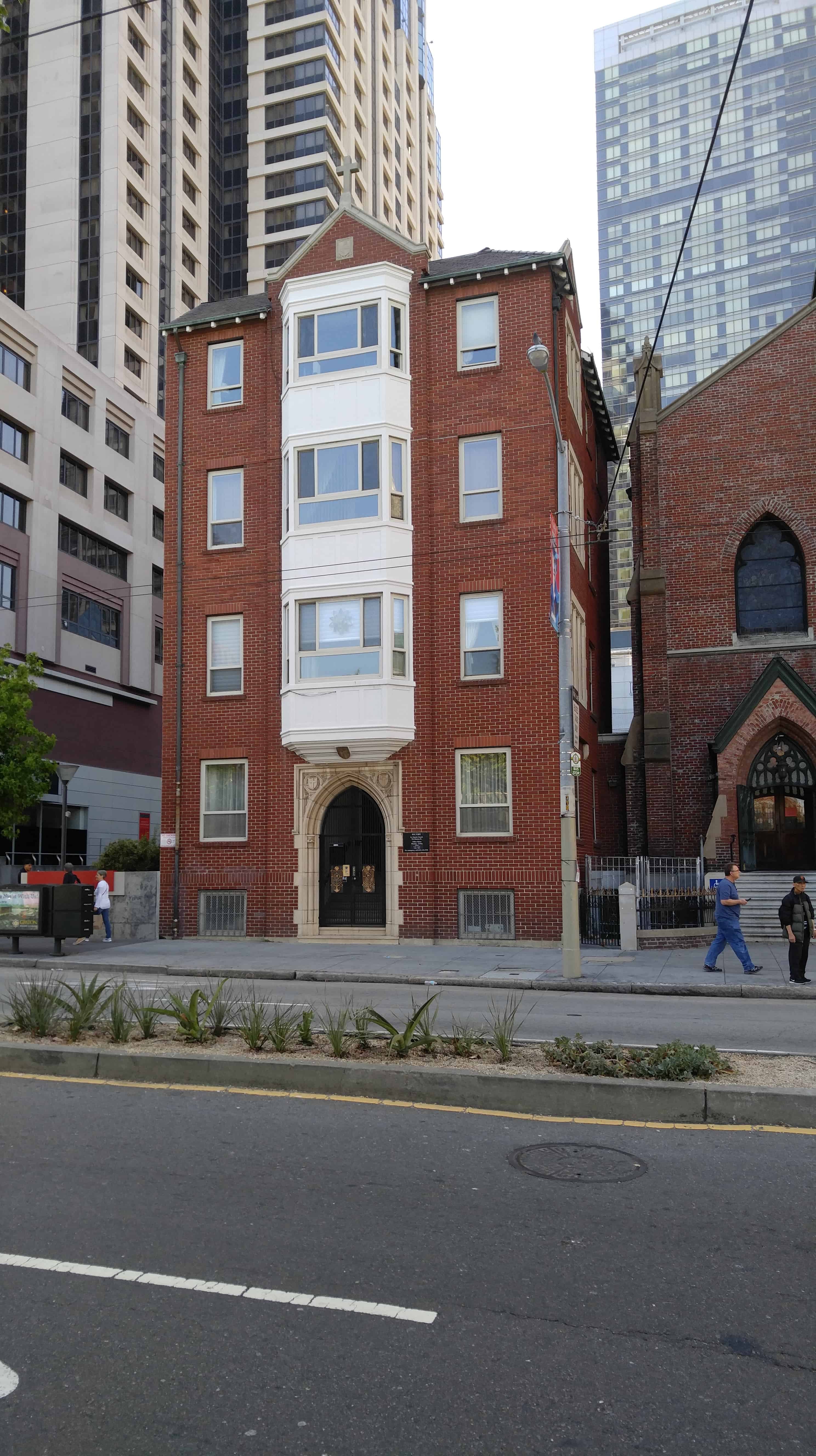
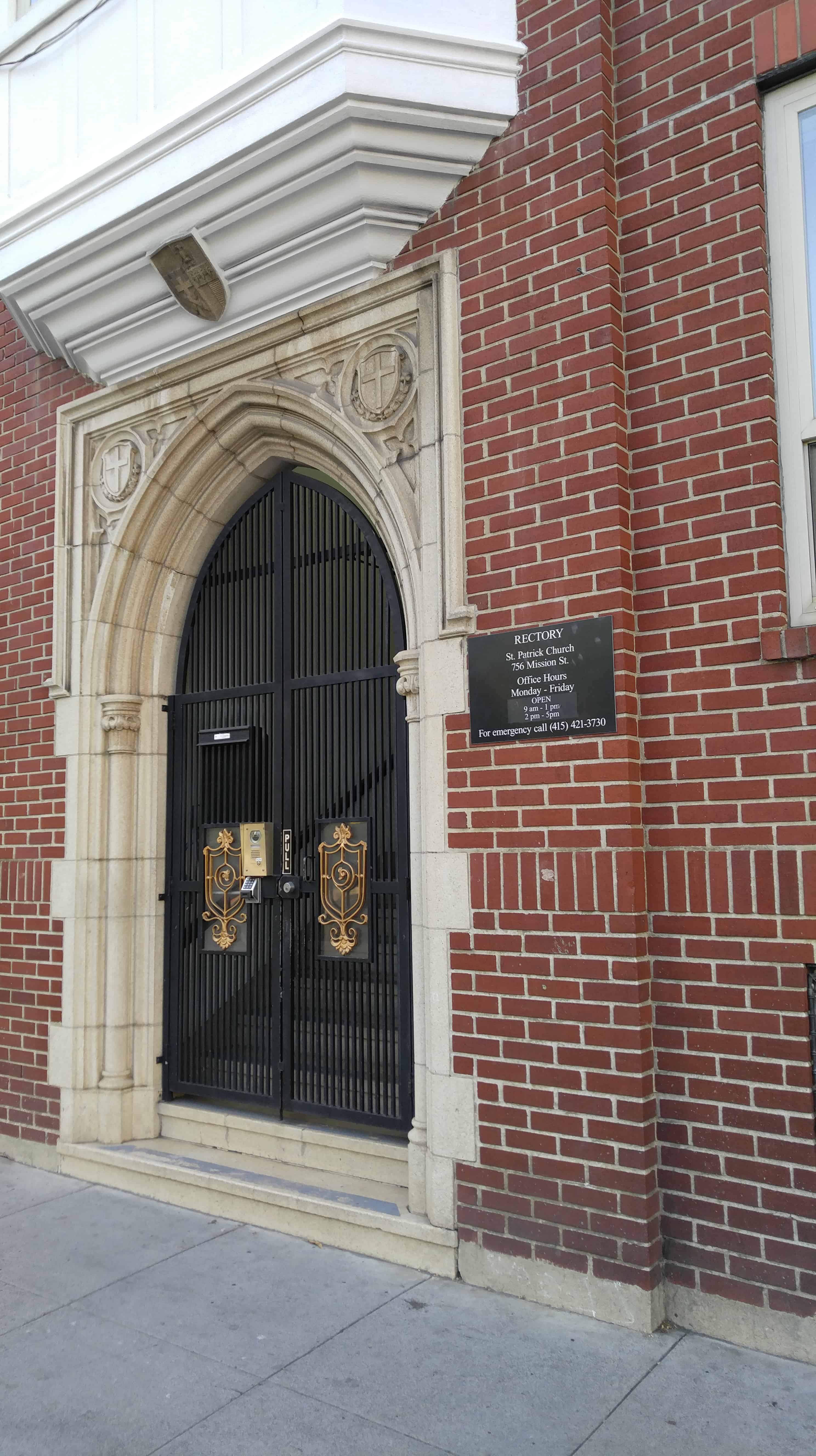
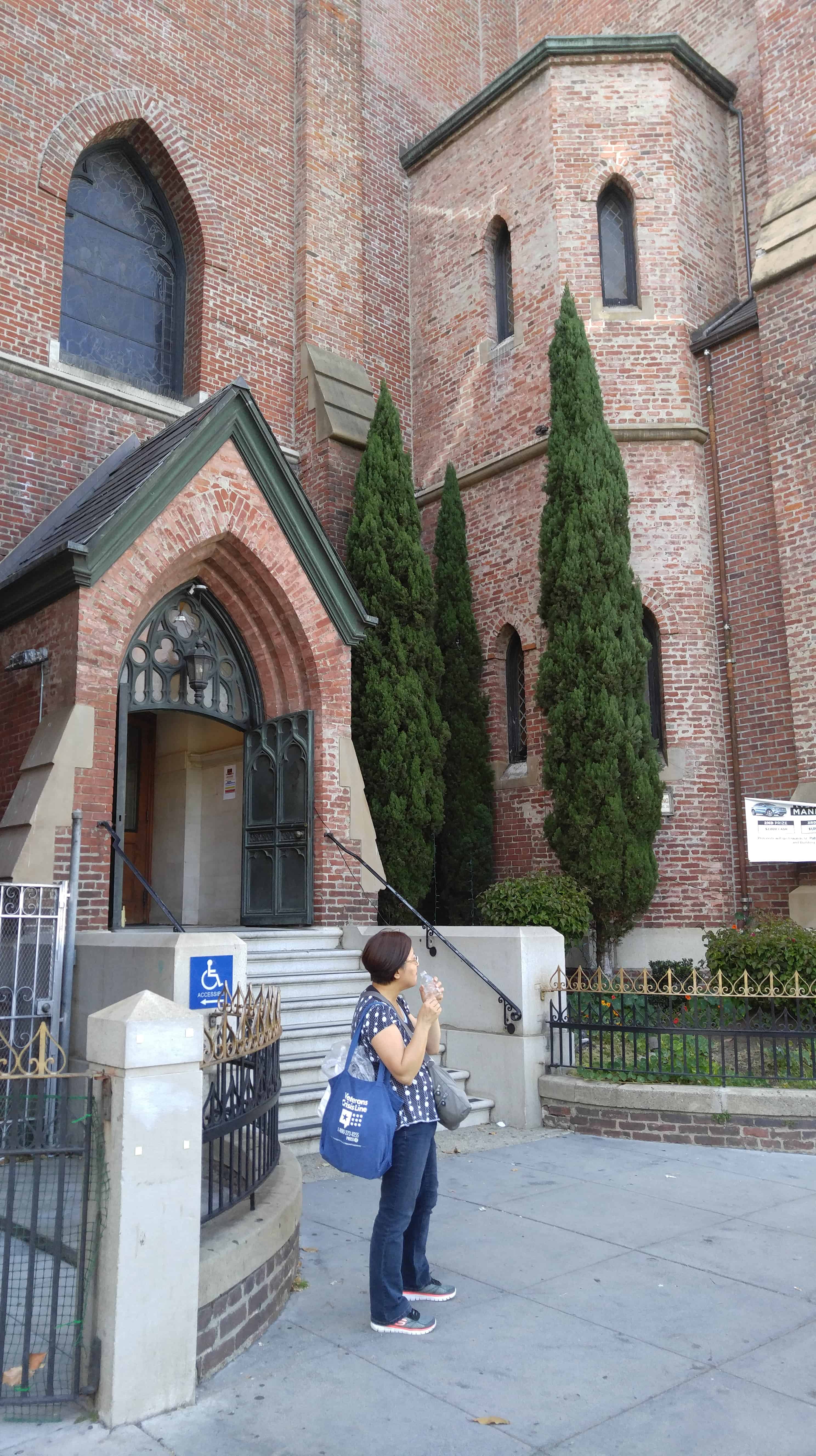
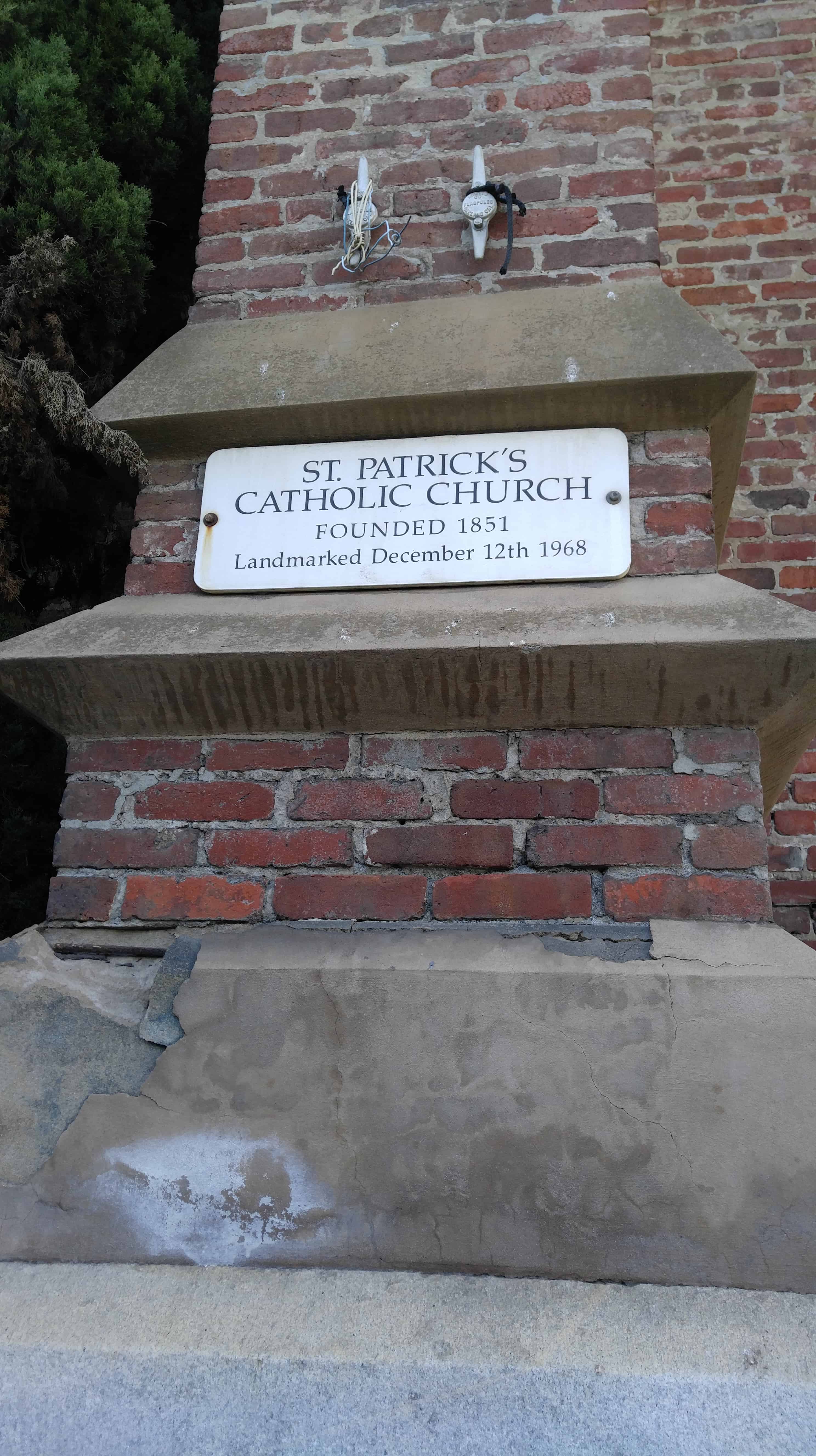
St. Patrick’s Catholic Church is a Roman Catholic church in San Francisco, California, founded in 1851. It is located at 756 Mission Street, between 3rd and 4th streets, across the street from Yerba Buena Gardens in the heart of the South of Market district.

← Older posts
Newer posts →

Follow Jacob

Follow Jacob

Blog Stats

  • 2,076,955 hits

Social and Other Links

BarlowLinks.com

Recent Posts

  • Site of the Old Provo High School
  • Hole-in-the-Rock Arch
  • Lee’s Ferry
  • Lee Ferry
  • Vaile Mansion

Archives

Loading Comments...