• About JacobBarlow.com
  • Cemeteries in Utah
  • D.U.P. Markers
  • Doors
  • Exploring Utah Email List
  • Geocaching
  • Historic Marker Map
  • Links
  • Movie/TV Show Filming Locations
  • Oldest in Utah
  • Other Travels
  • Photos Then and Now
  • S.U.P. Markers
  • U.P.T.L.A. Markers
  • Utah Cities and Places.
  • Utah Homes for Sale
  • Utah Treasure Hunt

JacobBarlow.com

~ Exploring with Jacob Barlow

JacobBarlow.com

Monthly Archives: August 2016

BYU Museum of Art

25 Thursday Aug 2016

Posted by Jacob Barlow in Uncategorized

≈ 2 Comments

Tags

Art, BYU, museums, Provo, utah, utah county

  • 629b0a0b-651a-47f7-a641-1dfcc70ffd24

“The Museum of Art is a place where the heart and mind are brought together to seek knowledge and values, self affirmation and spiritual understanding.”

“We hope your experience in the Museum will nurture a more reflective mind, a capacity for deeper inquiry, a stronger commitment to excellence and integrity, and heightened appreciation for others and their ideas.”

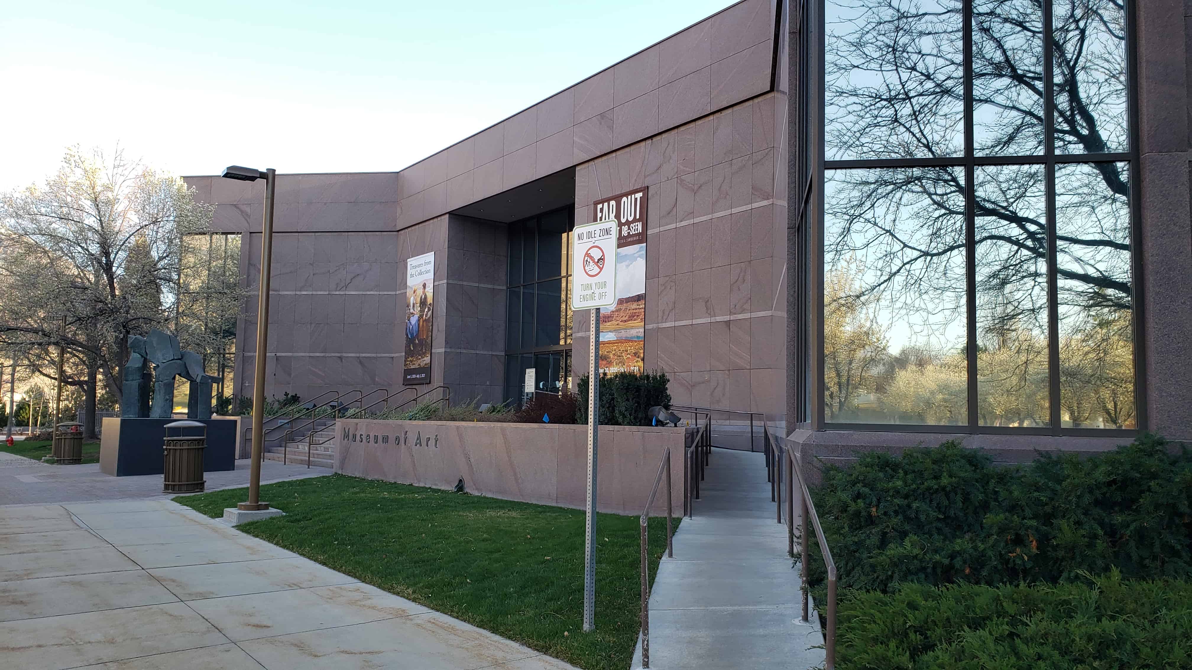
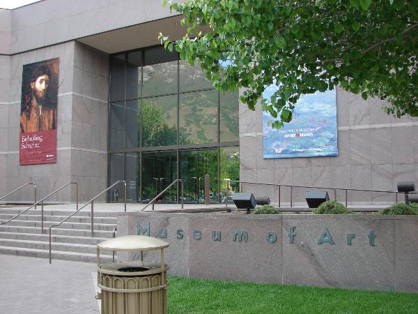
One of the largest and best attended art museums in the Mountain West, the Museum of Art offers a dynamic exhibition schedule that includes displays of its permanent collection, world-class traveling shows and unique temporary exhibitions that fulfill the Museum unique mandate (above).

One of the Museum of Art’s most important roles is its contribution to the academic mission of Brigham Young University. From the research and study of the artworks in our collection, to the teaching and learning that occurs in our classrooms and galleries, the Museum plays an important role in the academic pursuits of many students at BYU. At the same time, the Museum connects to broad community audiences through its varied exhibitions and educational programming.

Related:

  • Brigham Young University
  • The Sculpture Garden at the Museum of Art

Rockville, Utah

25 Thursday Aug 2016

Posted by Jacob Barlow in Uncategorized

≈ 3 Comments

Tags

Rockville, Springdale, utah, Washington, Washington County, Zion National Park

ROCKVILLE

Rockville Posts:

  • Deseret Telegraph and Post Office
  • Rockville Bridge

Rockville lies just outside the park boundary for Zion National Park; the park entrance is located approximately 5 miles  northeast of the town.

Four miles southwest of Springdale. It was originally settled in late 1860 and early 1861 under the direction of Mormon Apostle Orson Pratt. The original name was Adventure but it was subsequently changed to Rockville because of the rocky soil and surroundings along the Virgin River.

Hideout, Utah

24 Wednesday Aug 2016

Posted by Jacob Barlow in Uncategorized

≈ Leave a comment

Tags

Hideout, Kamas, summit county, utah, Wasatch County

  • 2016-05-31 11.47.43

Hideout, Utah, established July 2008, with a population of 820 residents. Hideout encompasses approximately 2,500 acres and borders the shores of the Jordanelle Lake. There are miles of shoreline trails and connections to Park City, and this, along with surrounding area trail systems, makes Hideout an outdoor enthusiast community. Our town boasts breathtaking views of Deer Valley, the Wasatch Mountains, and the Jordanelle Lake. In the short period of time the Town of Hideout has been established, there have been many improvements to the area. This is largely due to the fact that the area now has local representation. The governing body is focused on and concerned about the area and its residents’ needs.(*)

  • 2016-05-31 11.48.44
  • 2016-06-07 13.59.37
  • 2016-06-07 13.59.43

Auerbach Barn

24 Wednesday Aug 2016

Posted by Jacob Barlow in Uncategorized

≈ Leave a comment

Tags

Barns, Francis, historic, Historic Buildings, Kamas, summit county, Wasatch County

2016-05-31 10.53.05

Just outside Francis to the west,  this red and white “classic American barn” with gambrel roof is an example of an 1850s Improvement Era barn, which combined a traditional barn with a milking parlor and loafing shed.
Rasmus R. Larsen, a Danish immigrant, purchased the acreage in 1908 and created one of the first farmsteads in the early 1930s.  The property transferred to Frank Sorenson and Herbert Auerbach in the late 1930s, and the barn has been known as the Auerbach Barn ever since.

2016-05-31 10.52.45
2016-05-31 10.54.11


2016-07-13-12-07-22
2016-07-13-12-07-45


Bicentennial Park in Sandy

24 Wednesday Aug 2016

Posted by Jacob Barlow in Uncategorized

≈ 3 Comments

Tags

Alta, DUP, historic, Parks, Railroad, Salt Lake County, Sandy, utah

2016-05-30 15.06.56

Bicentennial Park in Sandy is one of the City’s full service parks, it contain 3 tennis courts, 2 softball fields, a playground, 11 picnic tables and a lighted indoor/outdoor pavilion.  The park covers over 6.5 acres and is adjacent to the City’s Parks & Recreation headquarters at (440 East 8680 South).

The Sandy-Alta Railroad D.U.P. Marker is in this park as well.

2016-05-30 14.40.18
2016-05-30 14.40.43
2016-05-30 14.40.55
2016-05-30 14.42.26
2016-05-30 14.42.31
2016-05-30 14.42.35
2016-05-30 14.45.37
2016-05-30 14.45.58
2016-05-30 14.46.08
2016-05-30 14.46.26
2016-05-30 14.46.33
2016-05-30 14.46.45
2016-05-30 14.46.55
2016-05-30 14.47.07
2016-05-30 14.51.43
2016-05-30 14.51.59
2016-05-30 14.53.46
2016-05-30 15.07.04

Sagers, Utah

24 Wednesday Aug 2016

Posted by Jacob Barlow in Uncategorized

≈ Leave a comment

Tags

Book Cliffs, Cedar, Colorado River Valley, Green River, historic, Railroad, Railroad Siding, Sagers, Sphinx, utah, Woodside

sagers

Sagers, Utah or Sagers Station is a railroad siding in the desert not far from Green River.

il_570xN.1035994973_od8v

This 1922 Railroad Map shows Cedar, Woodside, Sphinx, Sagers, Book Cliffs, Colorado River Valley, Utah

Elberta Slant Train Tunnel

24 Wednesday Aug 2016

Posted by Jacob Barlow in Uncategorized

≈ Leave a comment

Tags

Elberta, Eureka, Mosida, Railroad, Tintic, Tunnels, utah, utah county

492035af-6c4a-4f5f-9c74-7dbe440d8798

There’s an abandoned train tunnel off the Elberta Slant Road where the old railroad grade to Eureka was, it’s a fun place to go drive a Jeep through, I’ve taken many people there just for the fun of driving through a train tunnel.

10150244527414234

The Malt Shop in Ephraim

24 Wednesday Aug 2016

Posted by Jacob Barlow in Uncategorized

≈ 1 Comment

Tags

Ephraim, historic, Manti, Sanpete County, utah

  • 3e5208c5-60c4-4d33-b91d-600b5ec63891

The Malt Shop in Ephraim has always been one of my favorite places in Utah to eat.

It is located at 150 North Main Street in Ephraim, Utah.

I love finding old photos and comparing them to the present, here’s what it used to look like:

  • 0cc84944-5279-487e-be4f-9c0133325214

Related:

  • Hole in the Wall Burger Joints in Utah

1902 Metropolin Steam Fire Engine

24 Wednesday Aug 2016

Posted by Jacob Barlow in Uncategorized

≈ 1 Comment

Tags

DUP, Firefighters, historic, Salt Lake City, Salt Lake County, utah

  • 535a66d8-d048-4062-bc21-bd24af0c0c87

A 1902 Model Fire Engine, Salt Lake City, Utah’s First.

1902 Metropolin Steam Fire Engine – Reg. No. 2844

Province: Salt Lake City, 1902-1972

Province: International Society Daughters of Utah Pioneers Pioneer Memorial Museum, S.L.C., 1972-Present.

Status: Under Full Restoration to Orerating Condition.

Dedication: June 15, 1996

Honoring: All utah Firefighters & their families

Border to Border Fire Run: 1996-1997

  • 0c968f82-be38-42d8-9384-2a8b47d785bc

This is located in the D.U.P. Museum in Salt Lake City.

Venice, Utah

23 Tuesday Aug 2016

Posted by Jacob Barlow in Uncategorized

≈ 2 Comments

Tags

Richfield, Salina, Sevier County, utah, Venice

picture24nov07-106

The first settler in the Venice area was Francis George Wall, an early resident of Glenwood. In 1875, Wall bought an 80-acre tract of land, then called the Cove River Ranch, on the south side of the Sevier River. He built a cabin and moved his family from Manti. As other settlers moved in, the settlement was named “Wallsville”.

One of the most important structures in town was the bridge across the Sevier River. The first such bridge was built as early as 1885. A log meetinghouse was built in Wallsville in 1887, and used for both school and church meetings. A post office was established in the local general store in 1894, and in 1900, a ward of The Church of Jesus Christ of Latter-day Saints was organized. Residents voted to rename their community “Venice”.

In 1900, a white brick schoolhouse was built. This school operated until 1924, when the school district built a new building in Venice, and the old building was sold to the LDS Church. This building, with numerous additions over the years, served as the ward meetinghouse until it was torn down in 1984. The school was closed in 1950, but still stands as a Venice landmark.

The Marysvale Branch of the Denver and Rio Grande Western Railroad was formerly the most important transportation corridor in the area. It ran through the northwestern corner of Venice, transporting farm products as well as passengers. The railroad line was closed down after the 1983 landslide at Thistle.

  • Hillside Letter V
picture24nov07-105
← Older posts
Newer posts →

Follow Jacob

Follow Jacob

Come wander with me on Youtube.

Blog Stats

  • 2,100,217 hits

Social and Other Links

BarlowLinks.com

Recent Posts

  • Scout Monument
  • Provo High School Seminary Building
  • 821 E 100 S
  • 820 E 100 S
  • 817-819 E 100 S

Archives

Loading Comments...