Tags
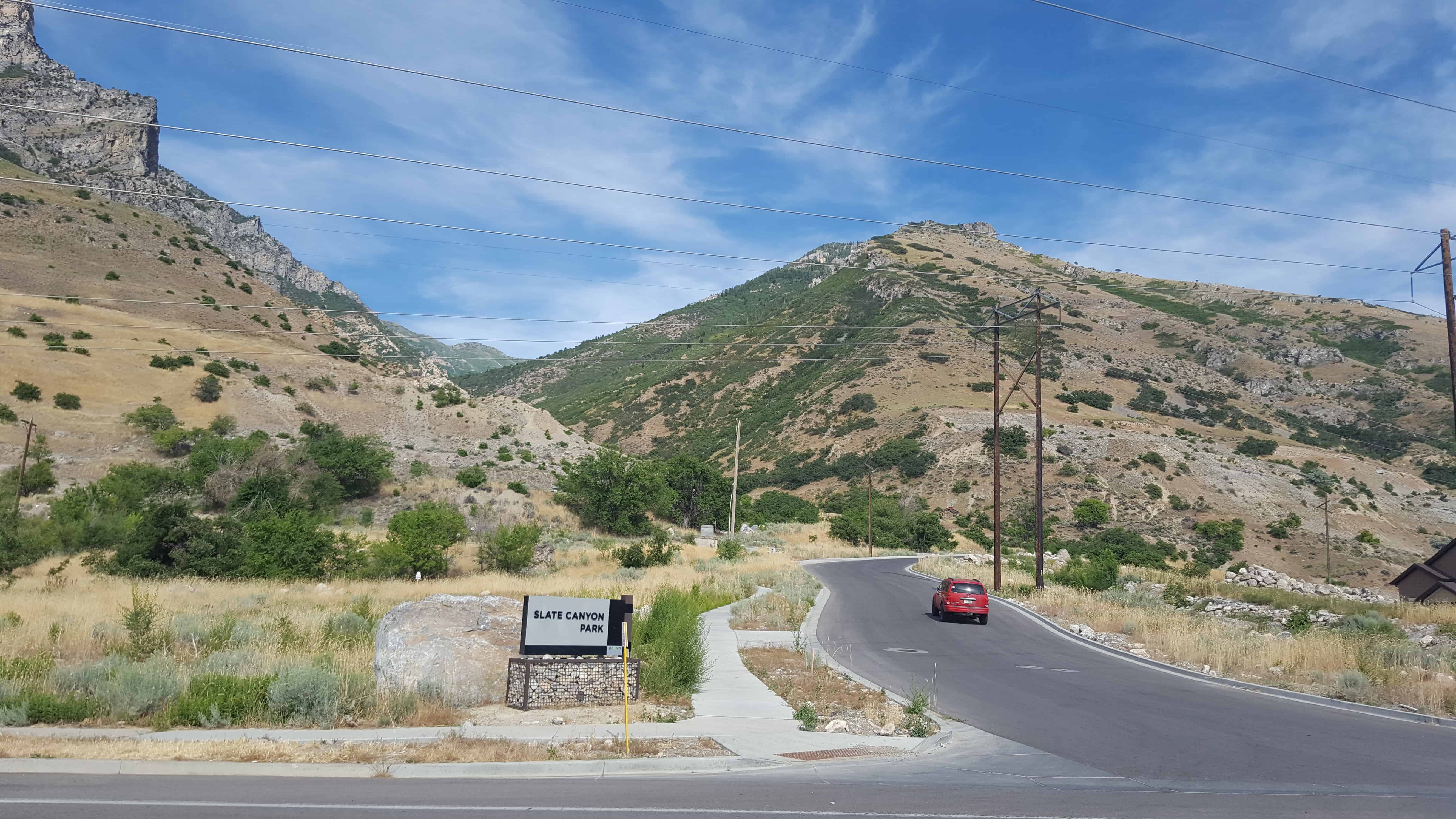
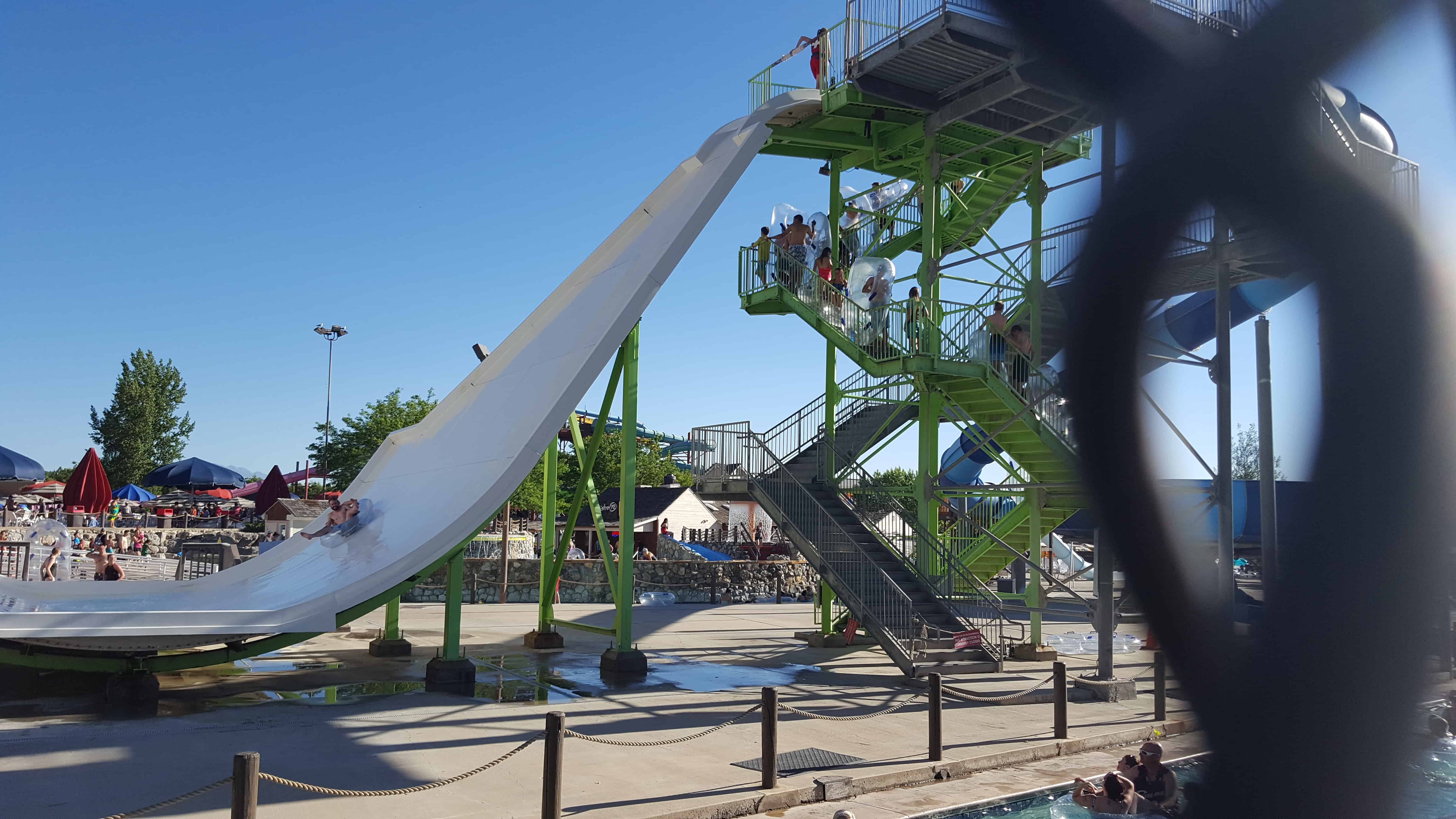
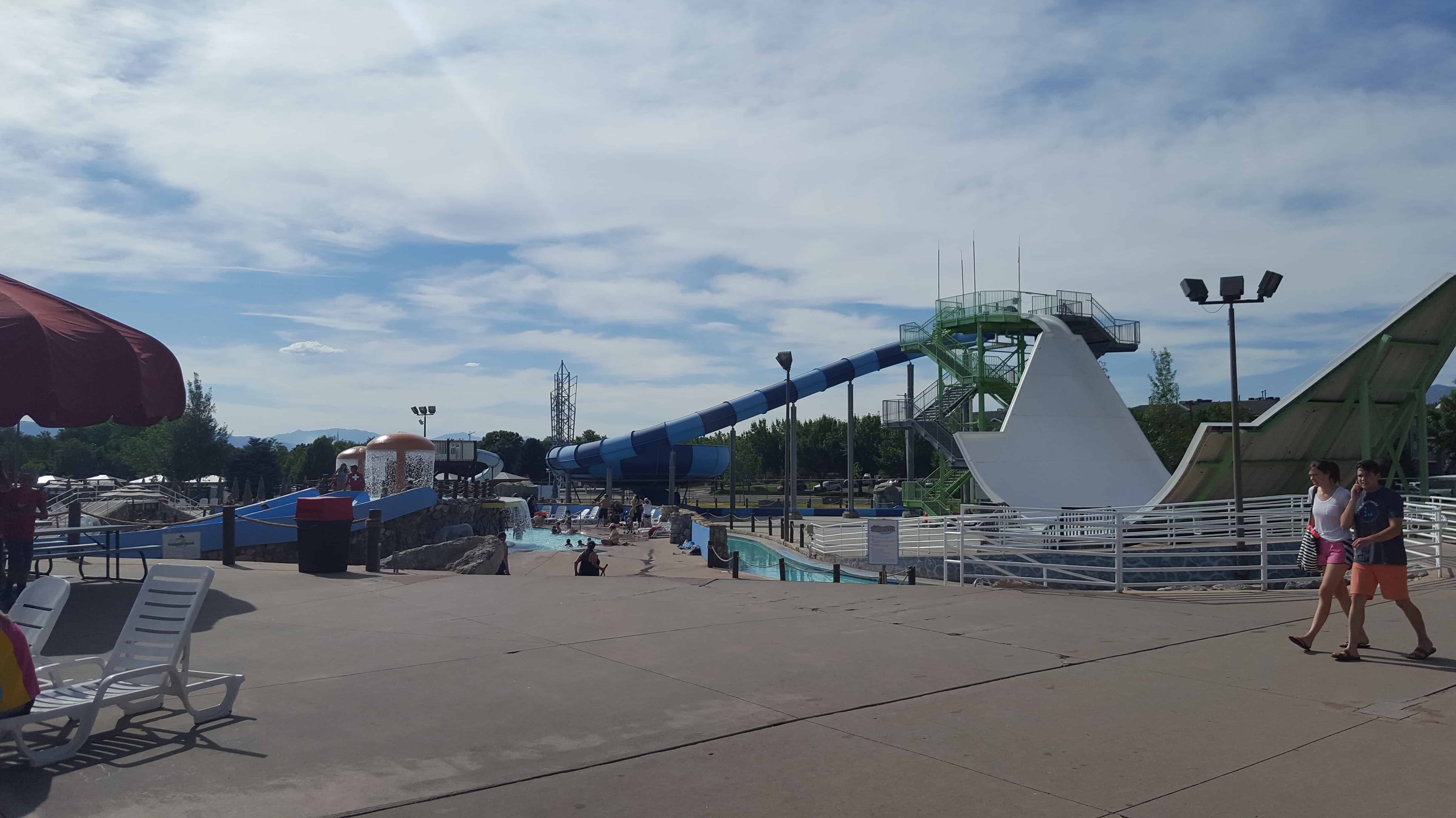
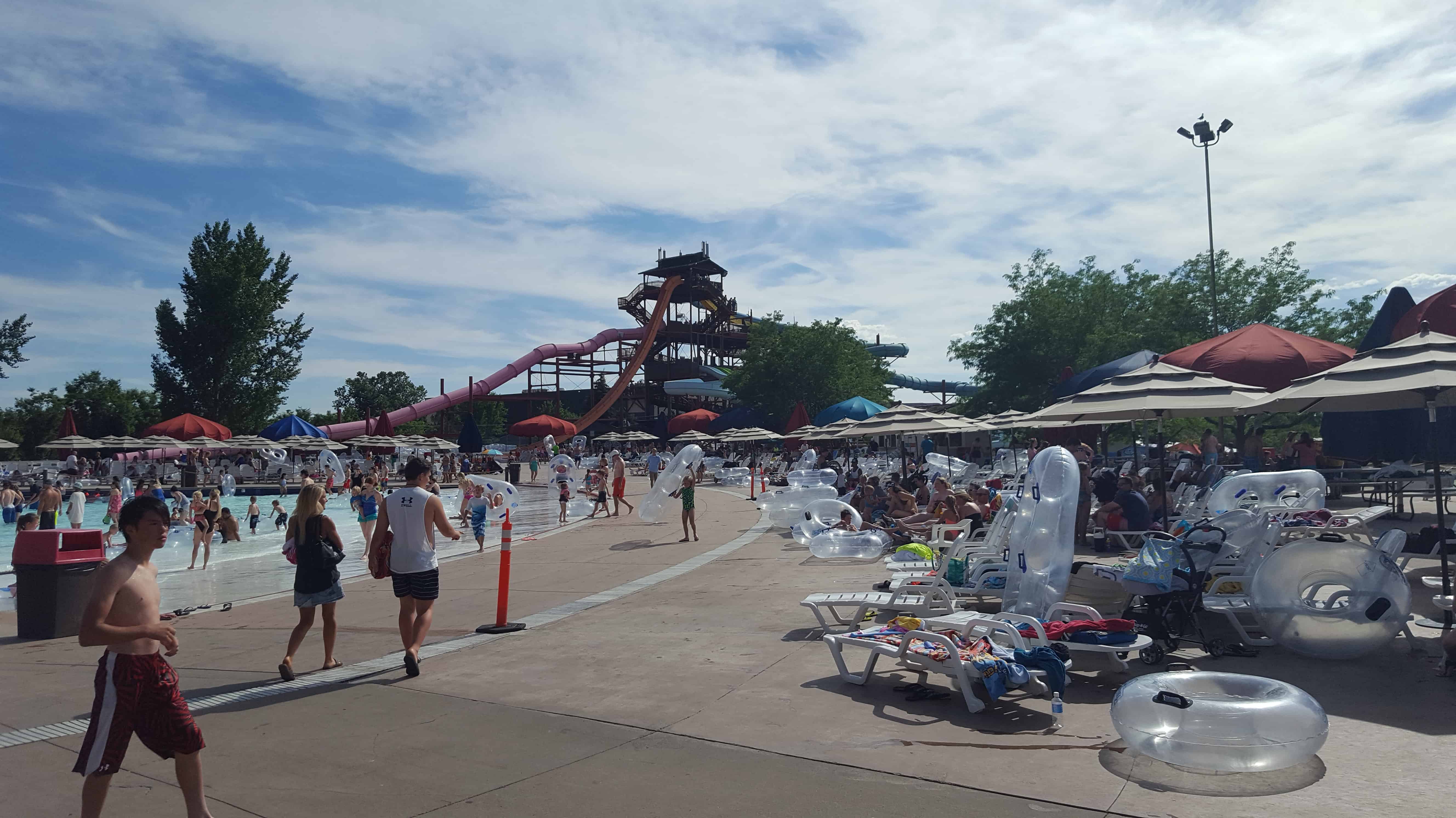
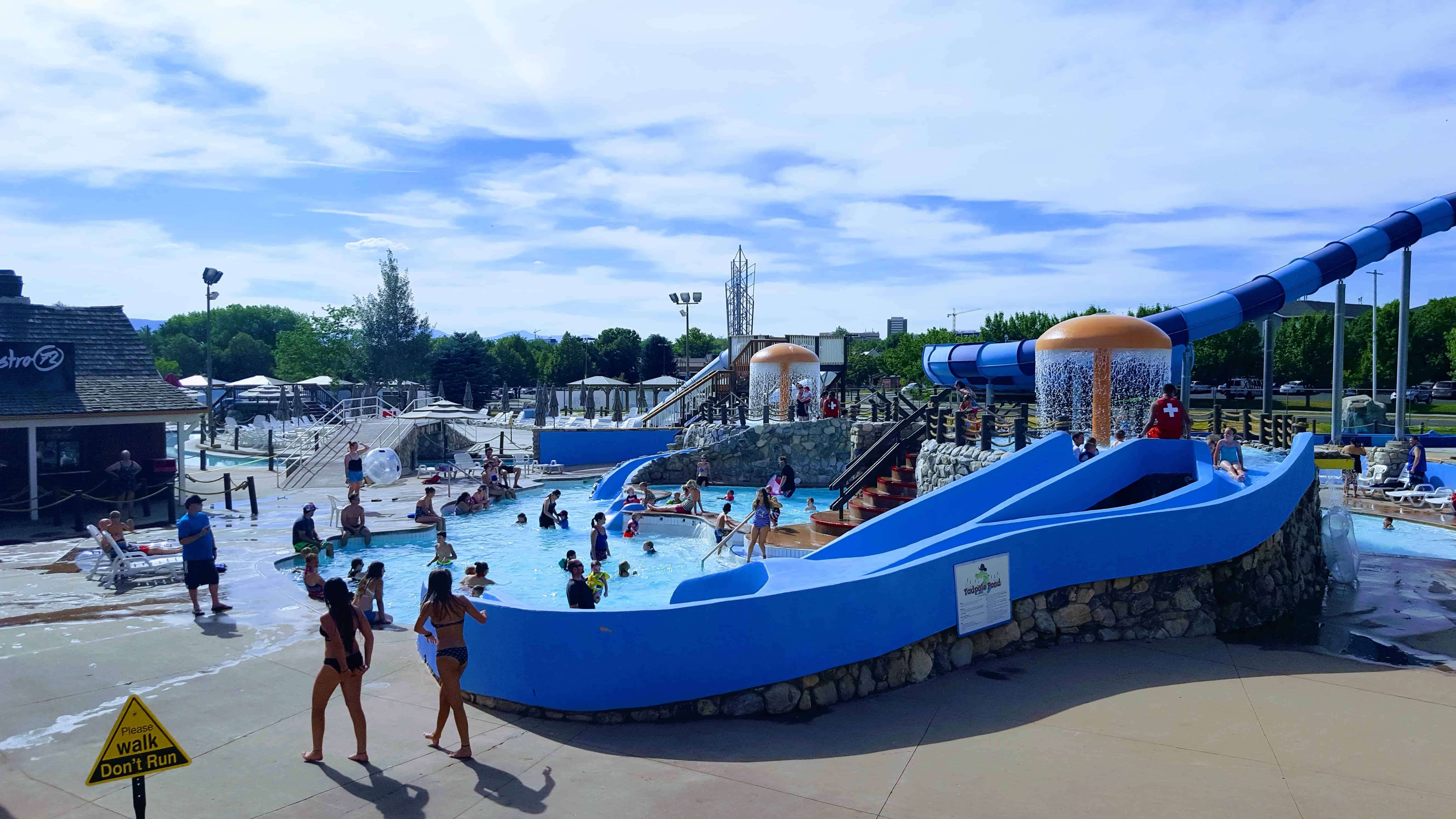
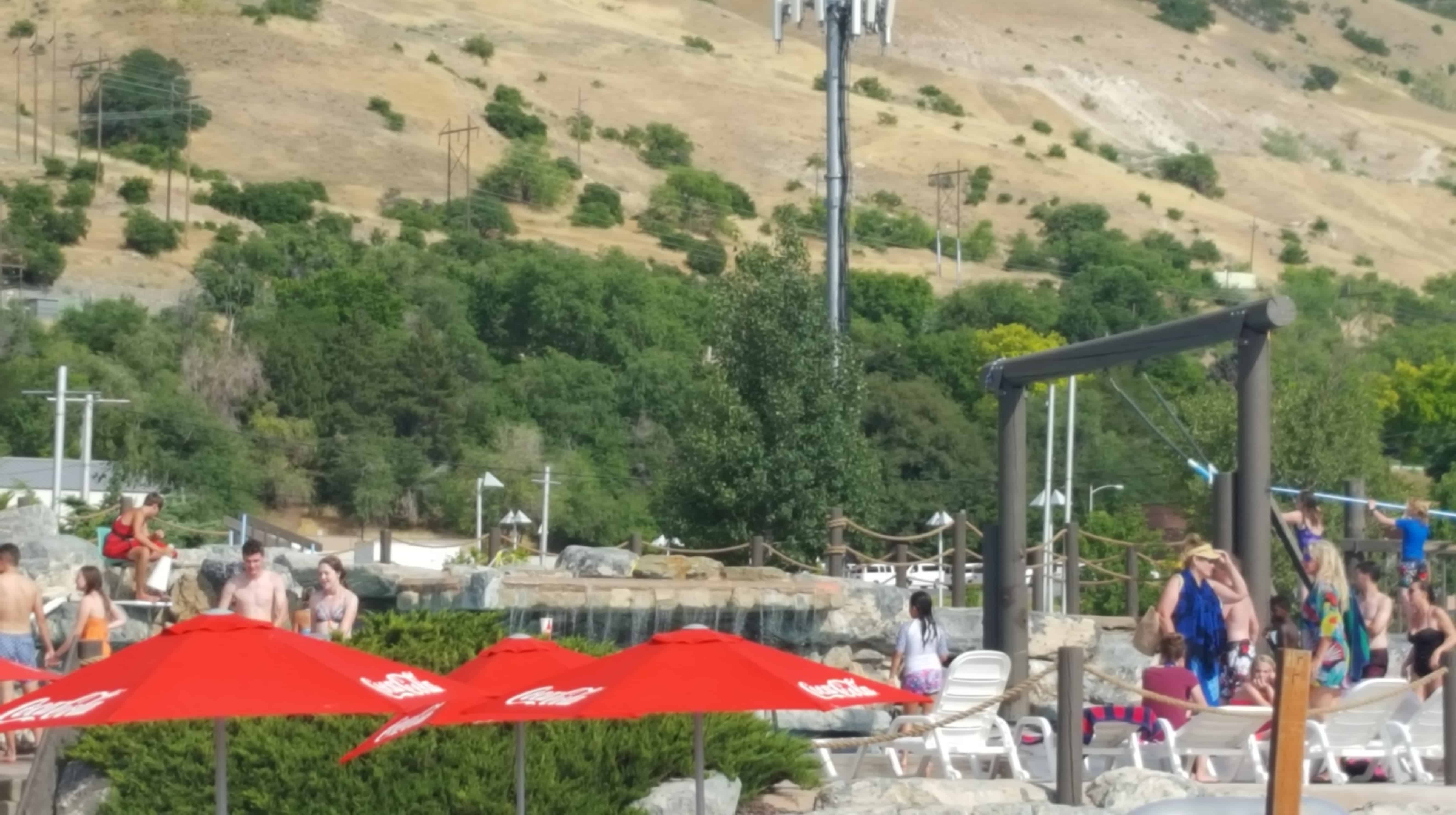
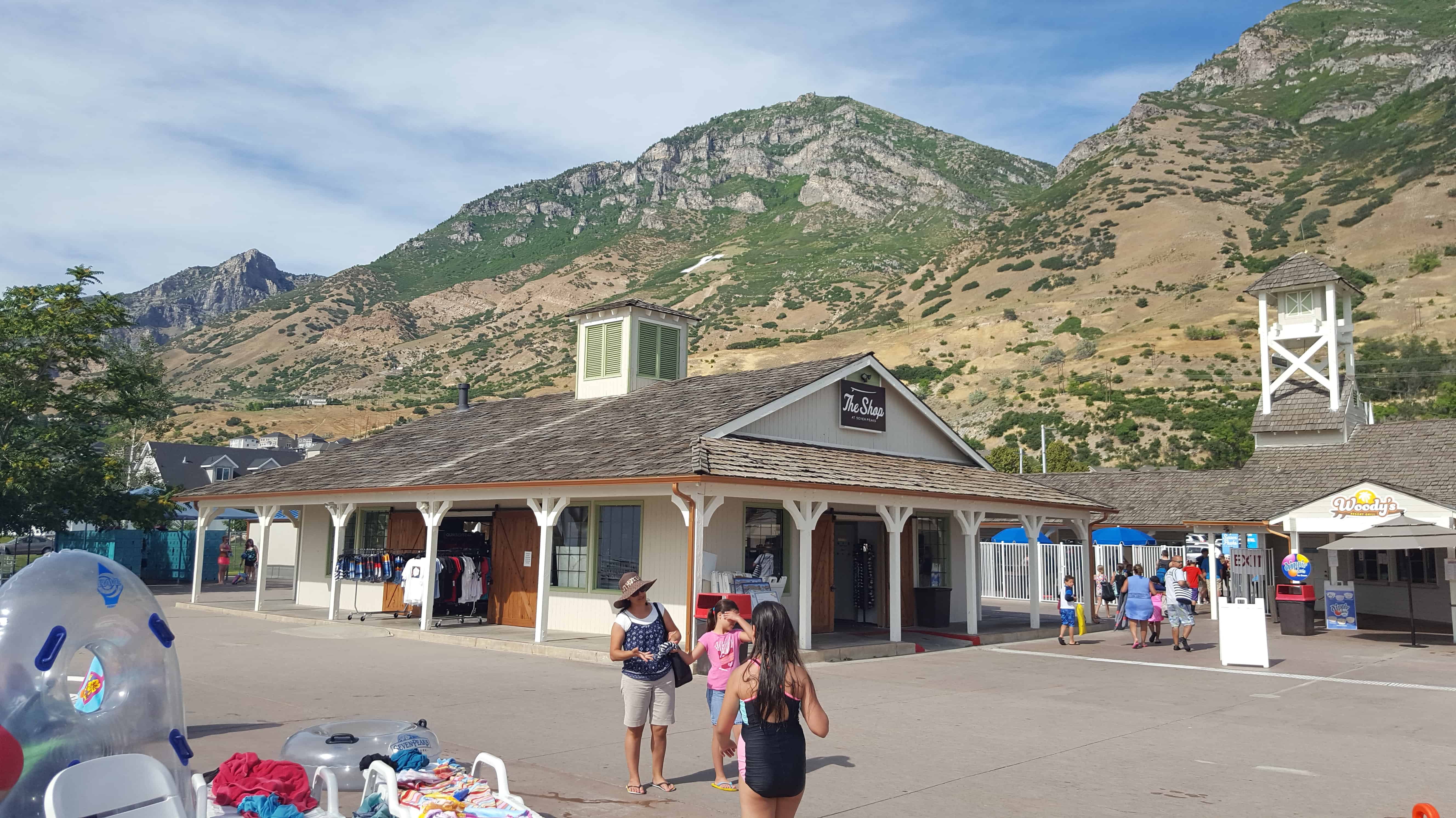
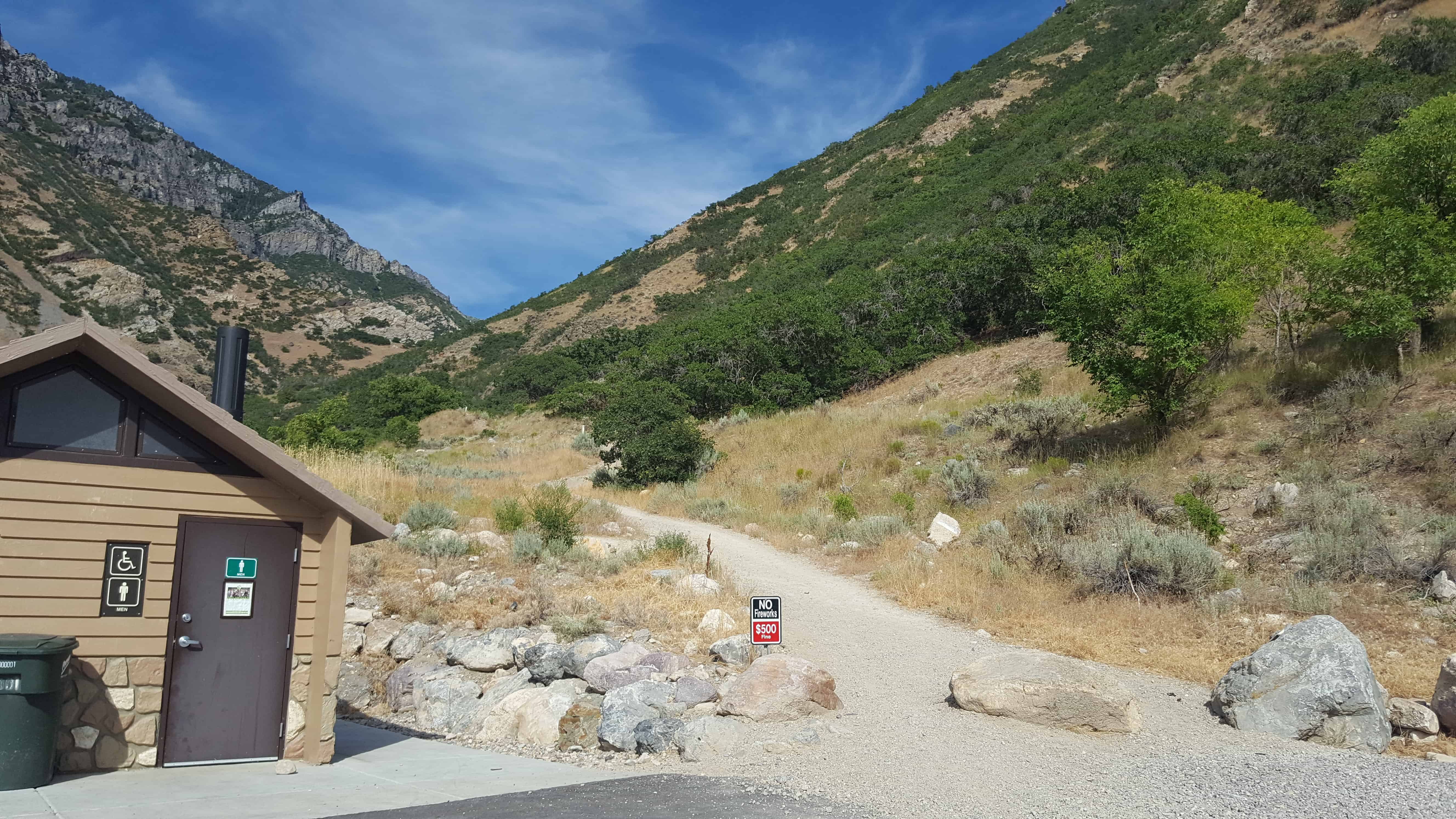
Slate Canyon Park, one of Provo‘s parks is set up with multiple sites, Upper A, Lower A, B, C, and D.
Mountain bike trails, amphitheaters, playgrounds, disc golf and much more will be available.


30 Sunday Jul 2017
Posted in Uncategorized
Tags
Slate Canyon Park, one of Provo‘s parks is set up with multiple sites, Upper A, Lower A, B, C, and D.
Mountain bike trails, amphitheaters, playgrounds, disc golf and much more will be available.
30 Sunday Jul 2017
Posted in Uncategorized
Tags
27 Thursday Jul 2017
Posted in Uncategorized
Tags
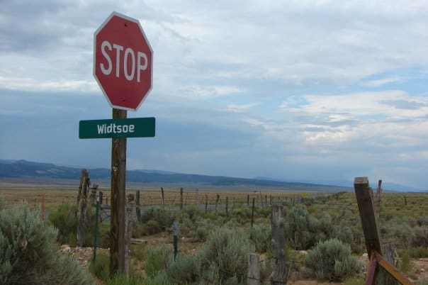
In 1872 the area that would become the later ghost town of Widtsoe was just an open range with James Houston running cattle on it. 1902 brought the Adair family and it became Adairville (not to be confused with Adairville in Kane County). In 1910 it became Winder when the Winder family but because there were already several other places in Utah named Winder the postal service wouldn’t allow it and they changed the name to Houston. 1915 brought the last name change to Widtsoe and by 1920 the settlers gave up on the poor soil and moved away.


26 Wednesday Jul 2017
Posted in Uncategorized

This plaque located just off exit 36 of I-15 says:
Gone but not forgotten, Charles Don Grundy “Chuck.” Dec 1967-July 2011.
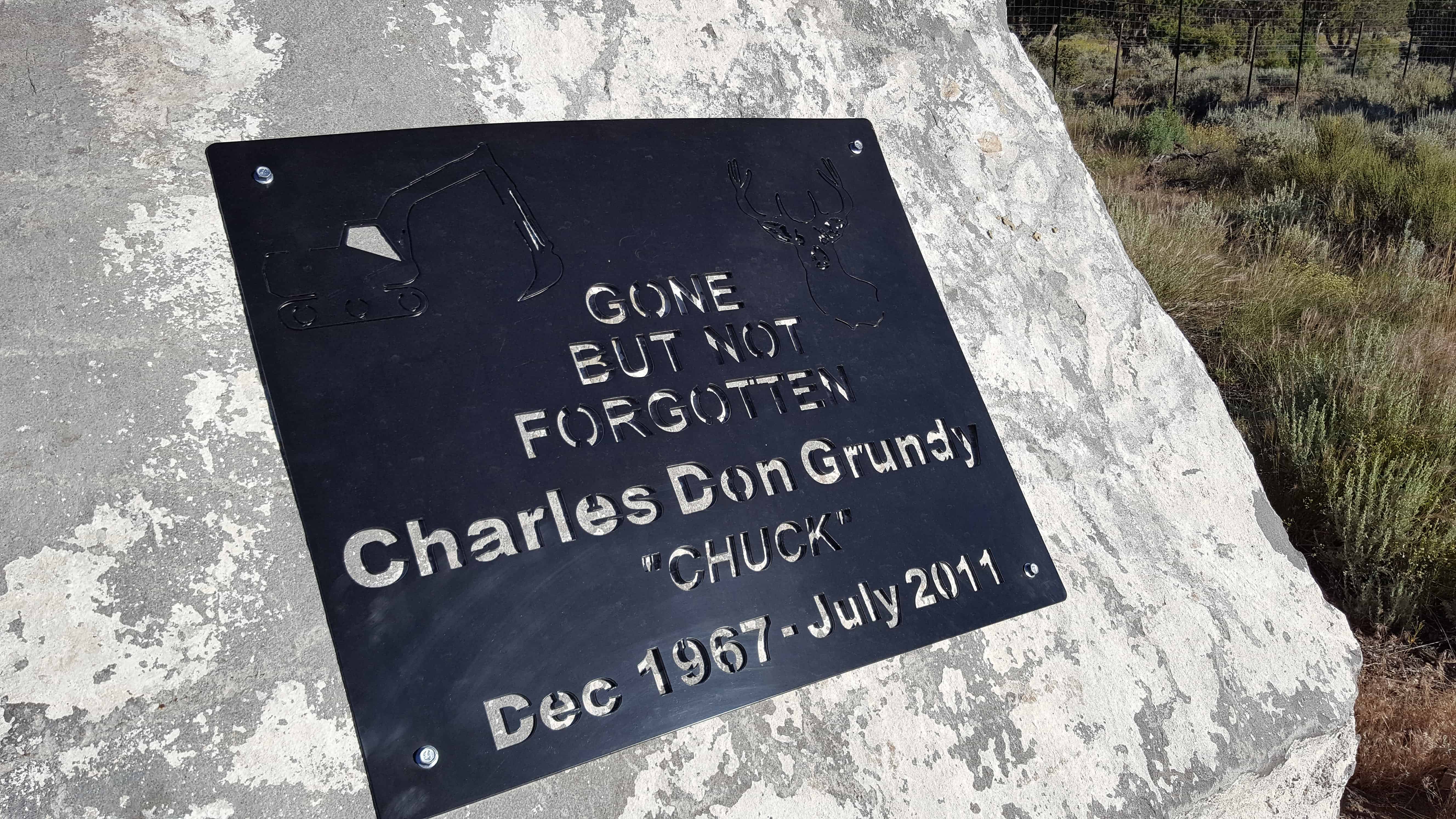
Chuck Grundy 1967 ~ 2011 St. George, Utah – Charles Don “Chuck” Grundy was eager to enter this life and left far too soon. He started and ended his journey on the side of a road, which is also where he spent most of his life working. On December 2, 1967, he was born on the Glenwood Dugway, starting his incredible journey through life. He was born, a son of Charles Wayne and Jeraldine Edwards Grundy. He grew up in Annabella, Utah, graduating from South Sevier High School in 1986 and attended Dixie State College. Throughout high school, he played and excelled in all sports and mastered the art of fighting. As the oldest of seven children, he spent his life loving and caring for his brothers and sisters. In Central Valley, Utah, on August 8, 1987, he married his high school sweetheart, Natalie Tobler. They were blessed with two incredible children, who were the light of his life. Chucks’ passions were apparent at just eight years old, when he started operating a backhoe. His life was spend building and creating for our future. With his dad and brothers, he started his career at Wayne Grundy Construction. Moving on to companies including Barney Trucking, Gibbins and Reed, Ames, Ron Lewis Construction and many others. At the time of his passing, he was employed by and working on a Sunroc Construction project. Chuck spent his time doing anything he could with his wife, kids, brothers and sister. His passions were racing fast cars, boating, hunting, camping and reloading bullets. You could often find Chuck tinkering with anything he could get his hands on


25 Tuesday Jul 2017
Posted in Uncategorized
Tags
DUP, historic, Historic Markers, Orem, Provo, utah, utah county

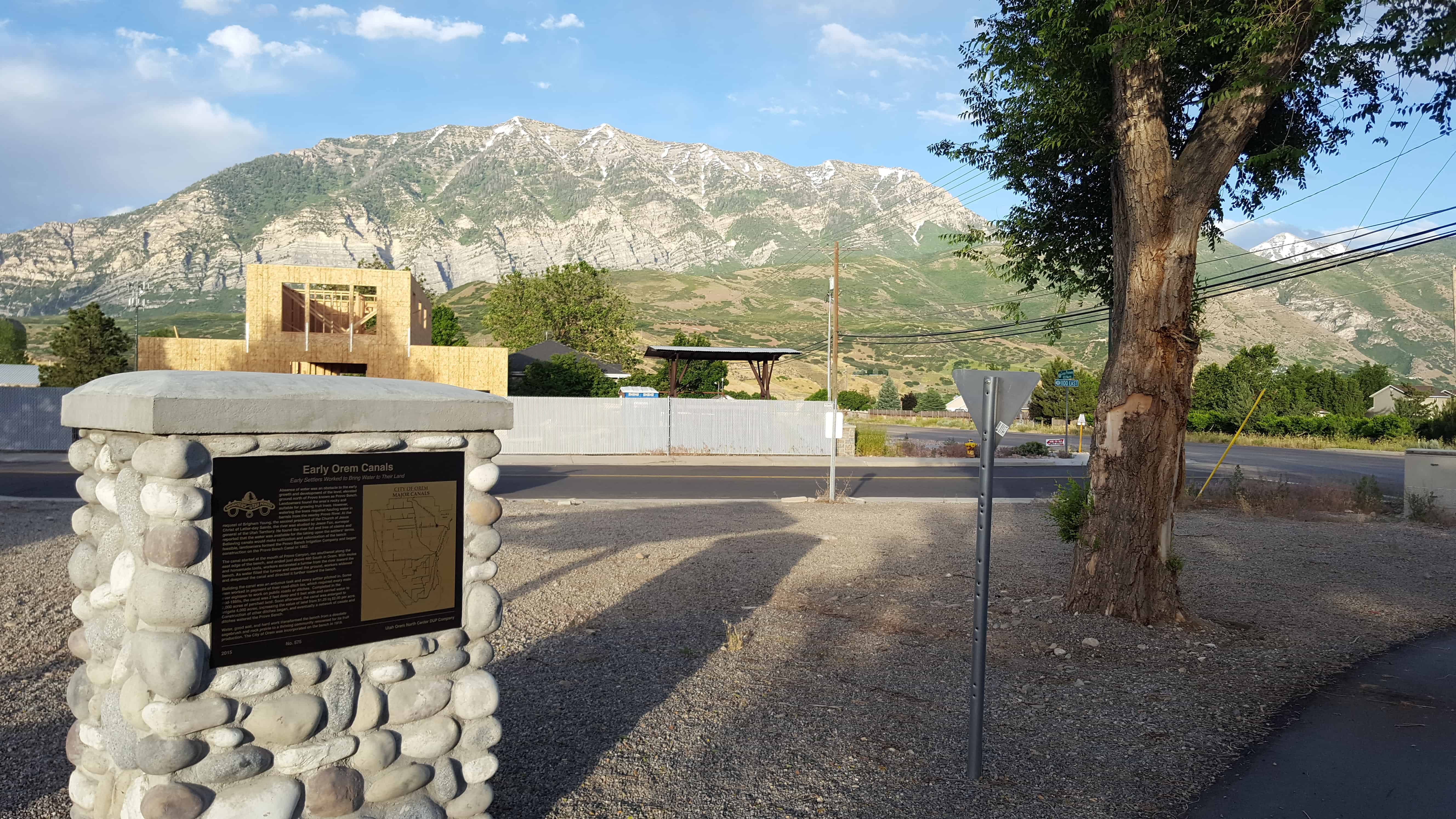
Early Settlers Worked to Bring Water to Their Land
Absence of water was an obstacle to the early growth and development of the level, elevated ground north of Provo known as Provo Bench.
Landowners found the area’s rocky soil suitable for growing fruit trees. However, watering the trees required hauling water in barrels from the nearby Provo River. At the request of Brigham Young, the second president of the Church of Jesus Christ of Latter-day Saints, the river was studied by Jesse Fox, surveyor general of the Utah Territory. He found the river full and free of claims and reported that the water was available for the taking upon the settlers’ terms. Believing canals would make cultivation and colonization of the bench feasible, landowners forned the Provo Bench irrigation Company and began construction on the Provo Bench Canal in 1862.
The canal started at the mouth of Provo Canyon, ran southwest along the east edge of the bench, and ended just above 400 South in Orem. With mules and homemade tools, workers excavated a furrow from the river toward the bench. As water filled the furrow and soaked the ground, workers widened and deepened the canal and directed it further toward the bench.
Building the canal was an arduous task and every settler pitched in. Some men worked in payment of their road-ditch tax, which required every male over eighteen to work on public roads or ditches. Completed in the mid-1860s, the canal was 2 feel deep and 6 feet wide and carried water to 2,000 acres of parched land. Soon afterward, the canal was enlarged to irrigate 4,000 acres, increasing the value of the land from $1.25 to $2.00 per acre. Construction of other ditches began, and eventually a network of canals and ditches watered the Provo Bench.
Water, good soil, and hard work transformed the bench from a desolate sagebrush and rock prairie to a thriving community renowned for its fruit production. The City of Orem was incorporated on the bench in 1919.
Click here to see other DUP Markers.


20 Thursday Jul 2017
Posted in Uncategorized

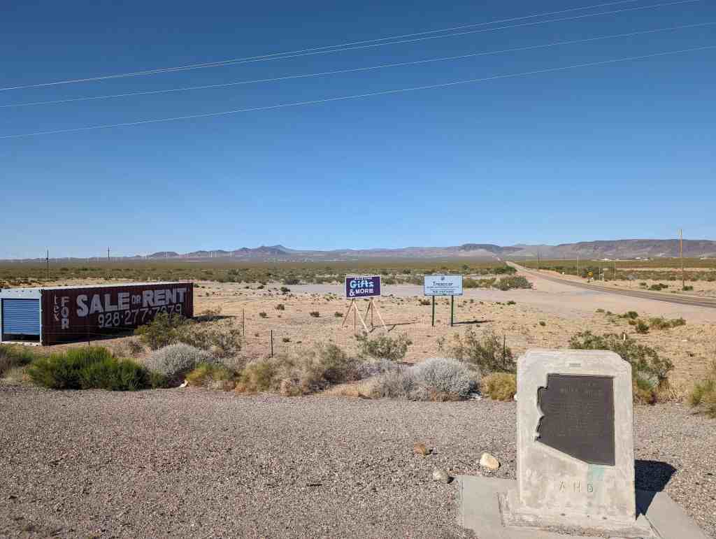
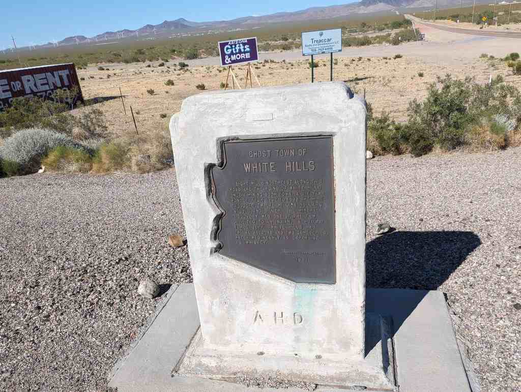
Ghost Town of White Hills
Eight miles northeast along this road are the ruins of White Hills, once a mining boom town. A six-year wonder, from 1892 to 1898 the mine produced twelve million dollars in gold and silver. The mineral discovery was one of the few credited to an indian… a hualpai named Jeff. White Hills had twelve saloons and two cemeteries. Water was nearly as expensive as whiskey.


Formerly known as Indian Secret Mining District or Silverado, the White Hills mining camp started in the 1890’s. The mines were rich producers of silver, especially horn silver, also called chloride silver. This large community was devastated by a flash flood on the morning of August 5, 1899 from which the town never recovered. After the closure of the mines, the remaining buildings slowly disappeared. Now nothing is left of the once prosperous mining camp. The ghost town of White Hills continues to be marked on travel maps.
Related:


20 Thursday Jul 2017
Posted in Uncategorized

The Hassayampa River Riparian Area or Hassayampa River Preserve is a highway rest area just south of Wickenburg, Arizona.


20 Thursday Jul 2017
Posted in Uncategorized

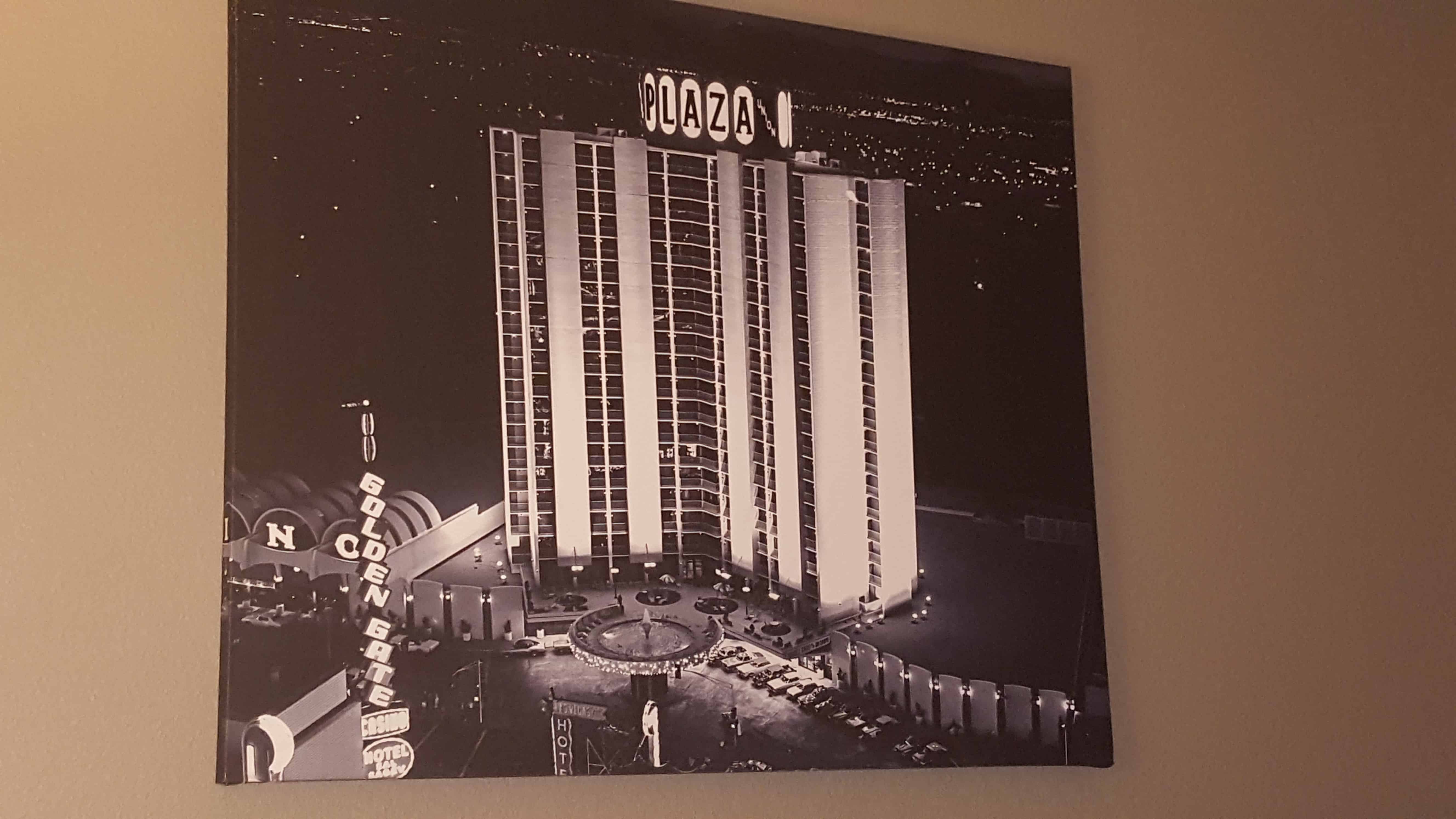
Located at Main Street and Fremont Street is the Plaza, prior to the construction of the casino, part of the site was used for the first train station in Las Vegas, a Spanish style depot, constructed in 1906. It was replaced in 1940 with a Streamline Moderne train station designed by H. L. Gogerty, with a Union Pacific shield, and “Streamliners & Challangers” neon sign. This station was demolished in 1970 and replaced by the Union Plaza Hotel, which included a small waiting room to be used as a station for Amtrak trains.


19 Wednesday Jul 2017
Posted in Uncategorized
Tags

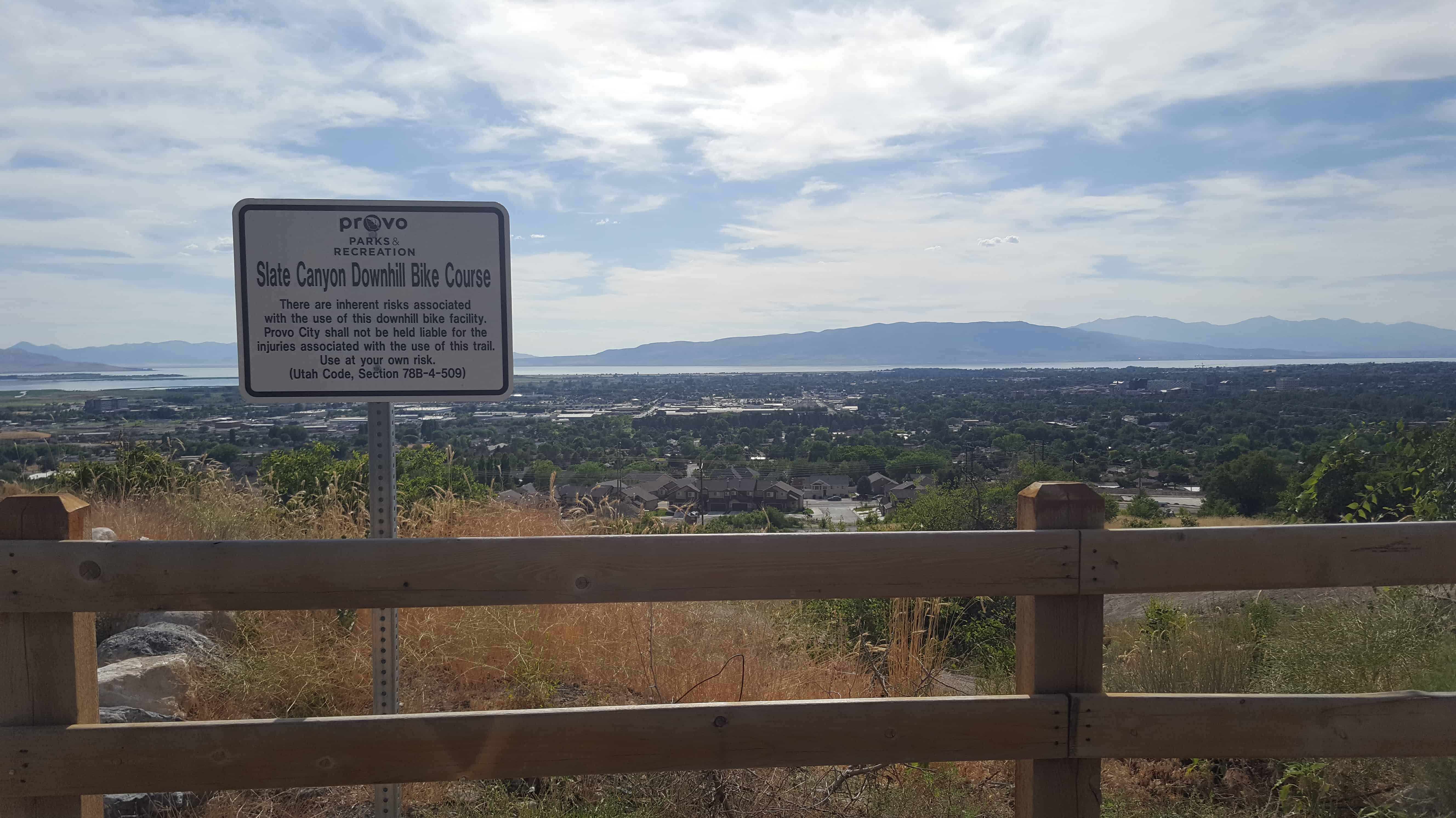
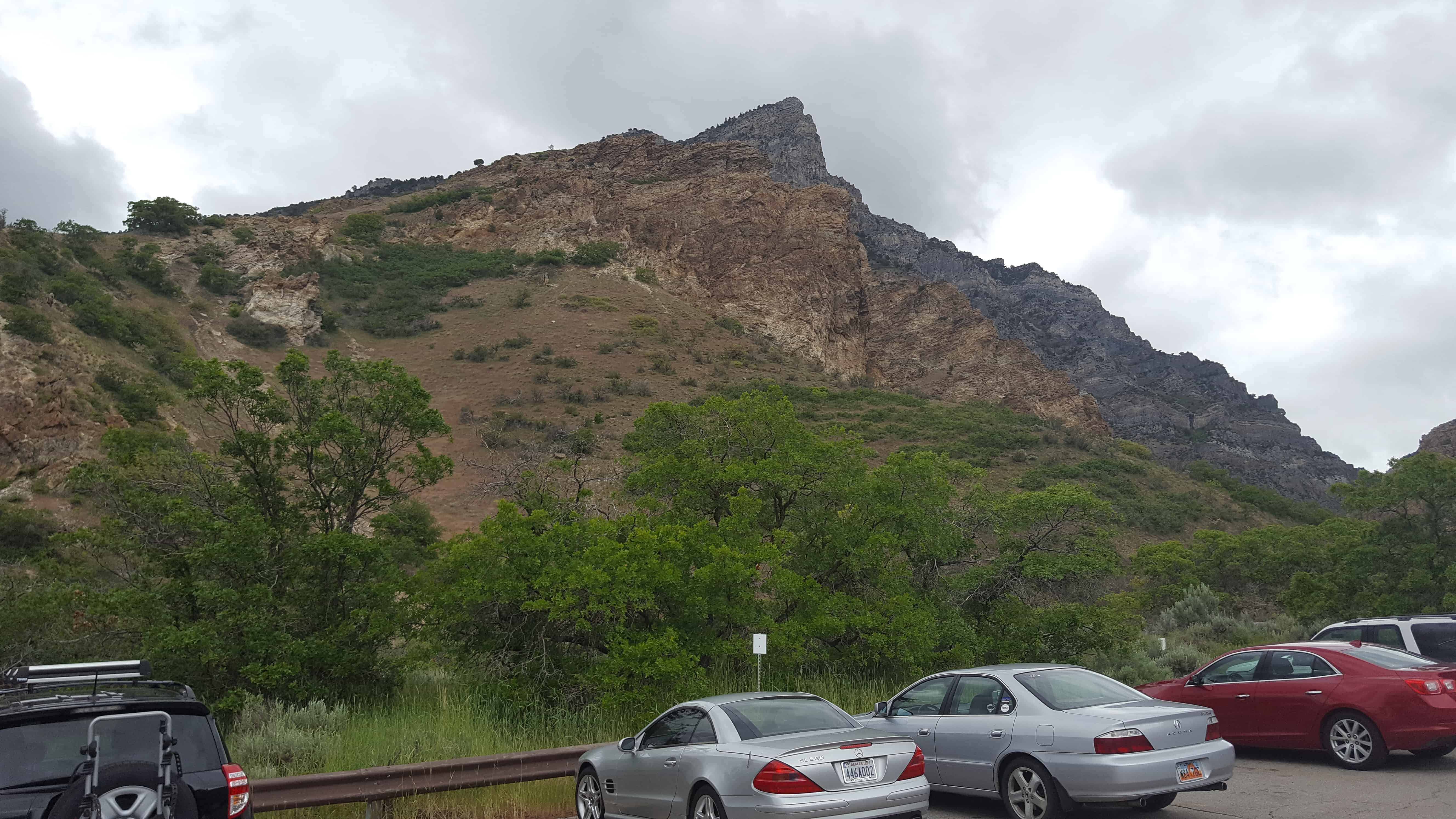
Squaw Peak is a peak above Provo and a popular hike, the high is about 7 miles total (out and back) with about 2,800 feet of elevation gained when you start at the Rock Canyon Trailhead.
19 Wednesday Jul 2017
Posted in Uncategorized
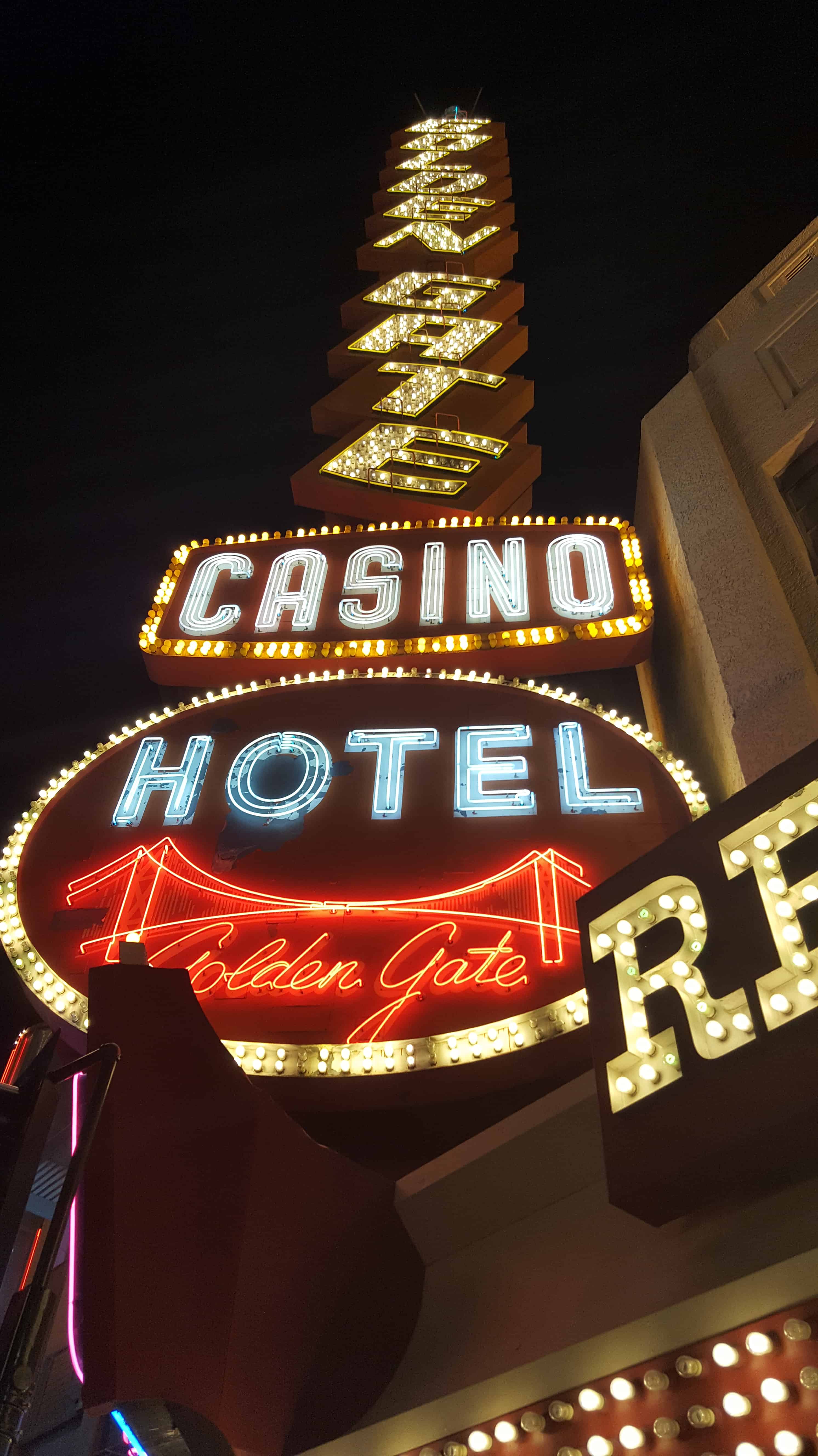
The Golden Gate Hotel & Casino is located at One Fremont Street in Las Vegas, Nevada, in the United States. A part of the Fremont Street Experience, it is the oldest and smallest hotel (106 rooms) on the Fremont Street Experience.
John F. Miller initially opened a temporary tent hotel – the Miller Hotel – on the property in 1905, while he planned to construct a permanent hotel structure, which opened as the Hotel Nevada on January 13, 1906. A casino operated within the hotel until a statewide gambling ban took effect in 1909. In 1931, the property was expanded and renamed as Sal Sagev (“Las Vegas” spelled backwards). The casino reopened that year when gambling in Nevada was legalized again. In 1955, the casino was renamed as the Golden Gate. The entire property was renamed as the Golden Gate Hotel and Casino in 1974. The Golden Gate was known for its cheap shrimp cocktails, served from 1959 to 2017.
Located at 1 Fremont Street in Las Vegas, Nevada