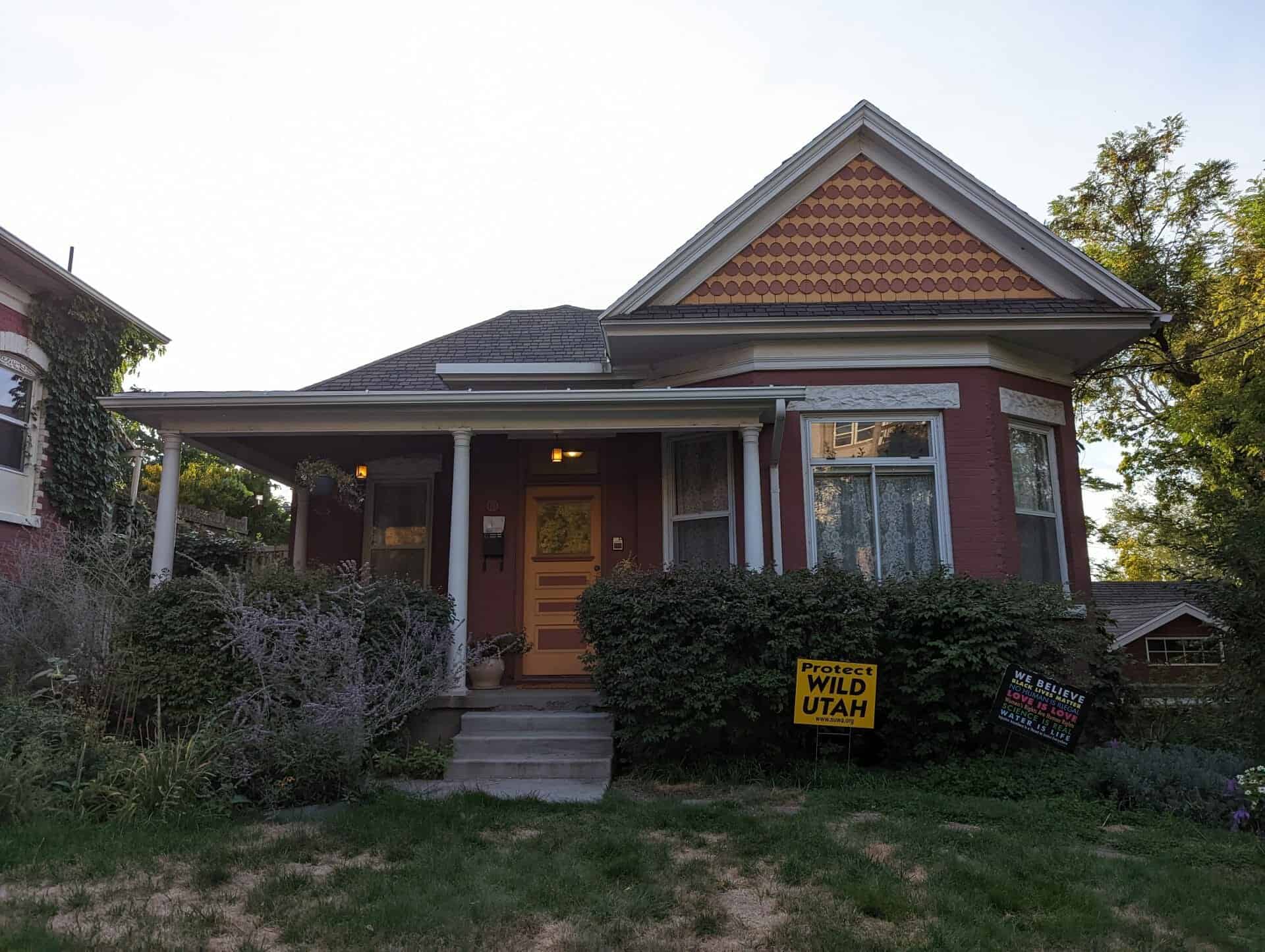
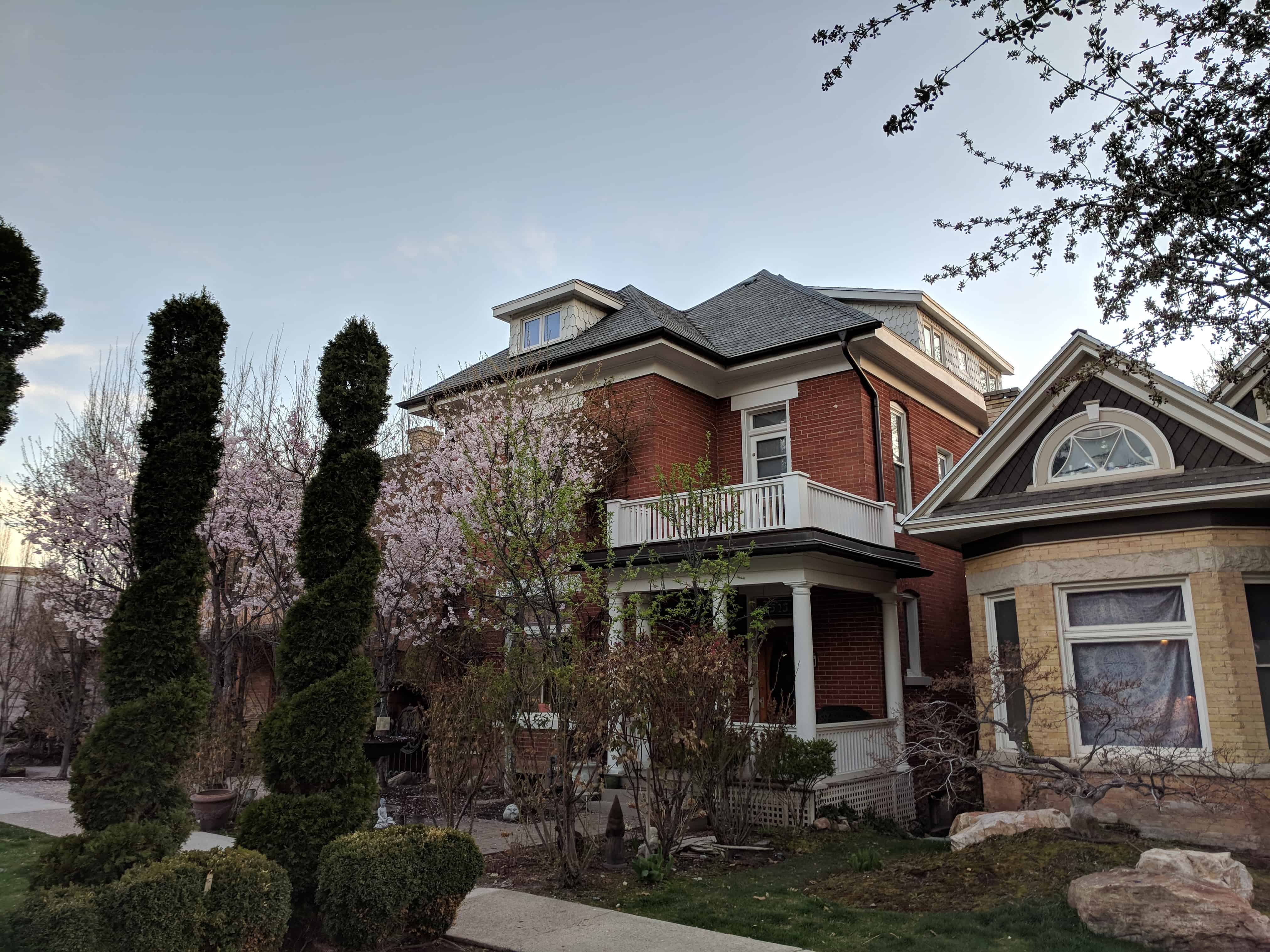
The Capitol Hill District is significant as the oldest surviving residential area in Salt Lake City. Its streets and houses document over one hundred thirty years of residential construction and neighborhood development. The scale and irregularity of the streets and blocks are not typical of the rest of Salt Lake, either today or in the past. Rather they were a product of the steep hillside which made the area unattractive for redevelopment and ensured its survival. The District preserves a representative cross section of the City’s arid the State’s architectural .and historical resources, ranging from the high style mansions of Arsenal Hill to the tightly packed workmen’s cottages of Reed Street. The buildings and patterns of neighborhood life on the Hill are representative of other early neighborhoods of the City now broken or vanished.
The Capitol Hill Historic District was added to the National Historic Register (#82004135) on August 2, 1982.
Related:
During the initial period of settlement, roughly 1850 to 1880, traditional vernacular/folk architectural designs predominated in the Marmalade district of Capitol Hill. House plans conformed to the rigid geometric categories found in most parts of the United States during the middle years of the 19th Century. The square cabin type (Richard Collett, 328 Almond St, c. 1875); Alonzo Raleigh, main brick section, 640 Wall St., c. 1860; and John Makauna , 249 Reed St., c. 1885) represented the basic building unit for early Utah builders. Placing two, square rooms side by side yielded the “double pen” type (Henry Arnold, main stone section, 640 Wall St., c. 1860; Daniel Cross, 467 Center St., c. 1865; William Southam, 540 West Capitol St,, c. 1880) A center passage inserted between the two square rooms characterized the “central hall” type (Ebenezer Beesley, 80 W. 300 N., c. 1860; Ricbard V. Morris, 314 Quince St., c, 1865; John Irvine, 521 Center St, c. 1880). The “hall and parlor” house, a larger rectangular plan internally divided into two rooms of unequal size, was another popular house plan (Anders W. Winberg, 560 N. 200 W., c. 1855; John Platts, 364 Quince St., c. 1860). Stylistically, these early homes reflected the controlled symmetry of the Federal and Greek Revival periods. By the early 1870s and 1880s however, the Gothic Revival was emerging as an important influence in Utah architecture and several of the Marmalade houses are fine local renderings of this important style (August Carlson, 378 Quince St., c. 1872; Swen J. Jonasson, 390 Center St., c. 1872; Thomas Quayle, 355 Quince St., c. 1881).
Capitol Hill Significant Sites
(Address, Original Owner, Construction Date)
- 217 Almond Street
- 301 Almond Street
- 309 Almond St – Joseph & Annie Shaw Home
- 318-320 Almond St – Edwin Rawlings Duplex
- 319 Almond St
- 319 #rear Almond St
- 321 Almond St
- 321 #rear Almond St
- 322 Almond Street – Edwin Rawlings – c. 1873
- 323-327 Almond St
- 326 Almond St
- 328 Almond Street – Richard Collett – Late 1870s
- 329 Almond St
- 334 Almond St
- 337 Almond St
- 343 Almond St
- 349 Almond St – William Claud Clive House
- 350 Almond St
- 135 Apricot Avenue – Albert Adkison Home – 1905
- 98 W Apricot Ave
- 63 W Apricot Ave
- 233 East Capitol
- 235 East Capitol – Richard Bird – 1937
- 239 East Capitol – George A. Fisher – 1936
- 273 East Capitol – William H. Dickson – 1905
- 300 East Capitol – LDS Church – 1871, rebuilt 1979
- 400 East Capitol – Capitol Hill Ward – 1928
- 540 East Capitol – William Southam – 1879
- 620 East Capitol Street
- 621 East Capitol Street
- 649-651 N East Capitol Blvd
- 658 East Capitol Street
- 314 Center Street – Fergus Coalter – 1880
- 318 Center Street – Engbert Olson – 1873
- 328 Center Street – Browning-Aures Home – 1875
- 390 Center Street – Swen J. Jonasson – 1872
- 415 Center Street – Alexander Edwards – 1903
- 421 Center Street – Alexander E. Carr – 1900
- 444 Center Street – Edward E. Jones – 1873
- 467 Center Street – Daniel Cross – 1865
- 521 Center Street – John Irvine – 1883
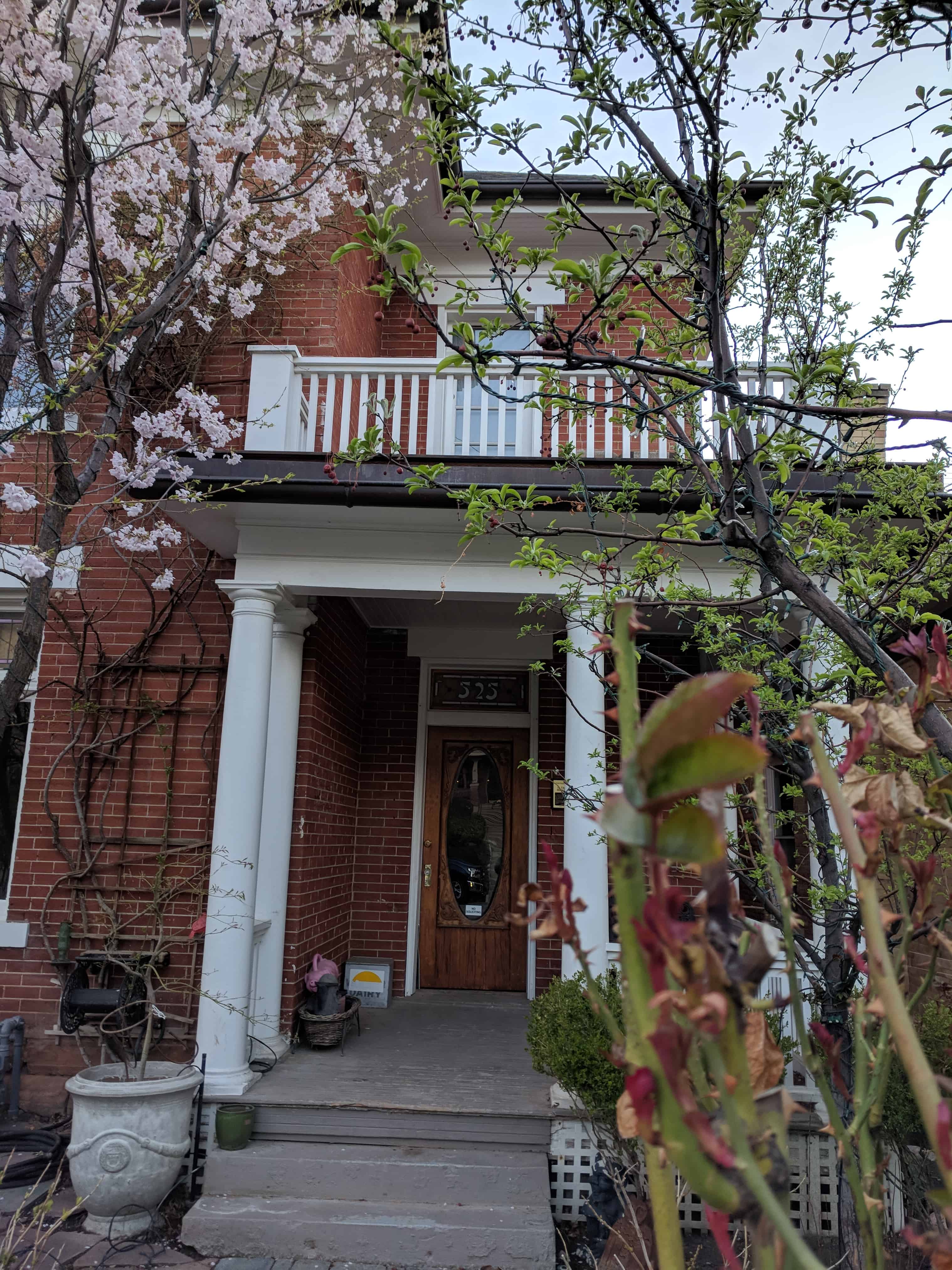
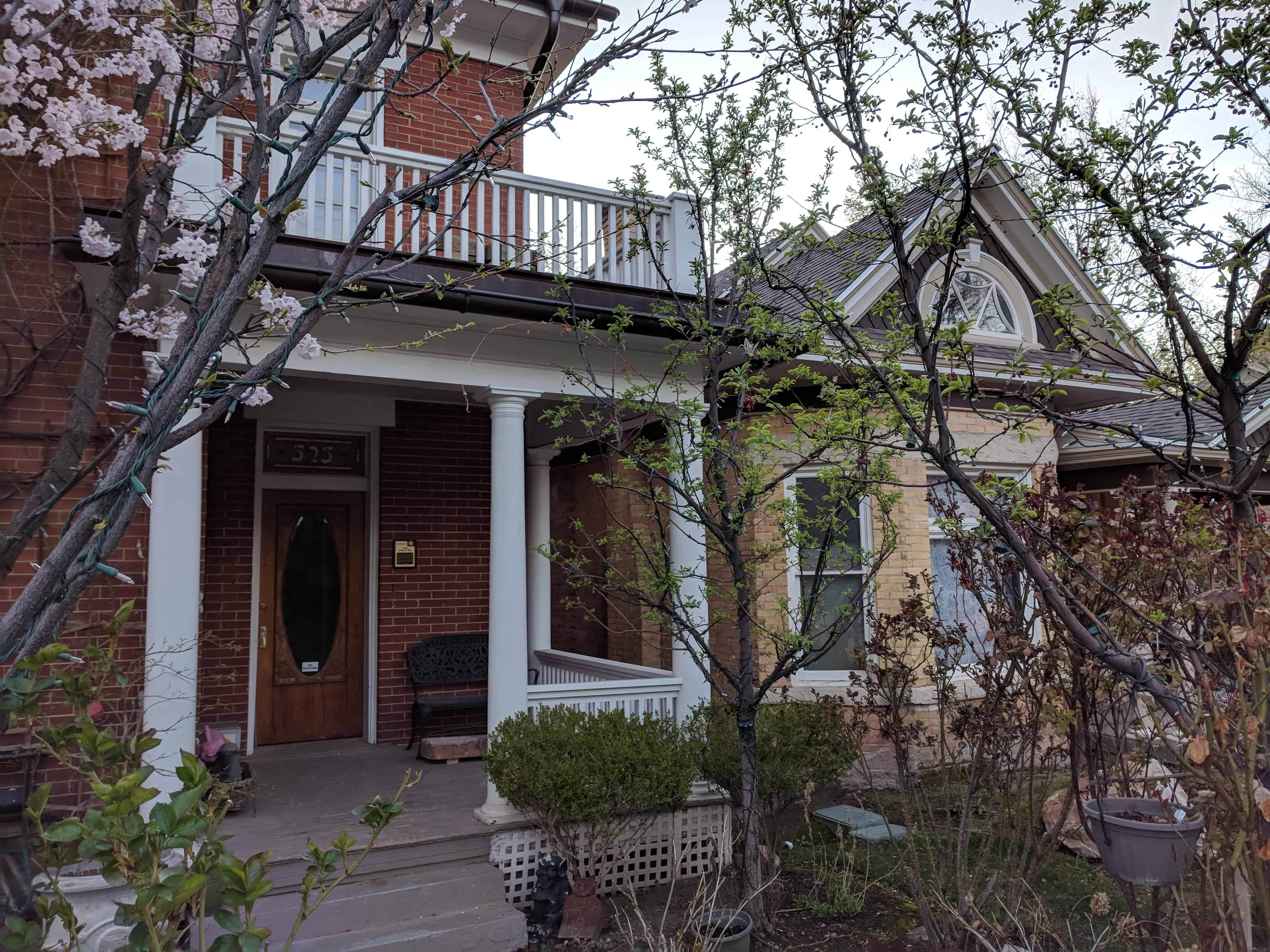
- 525 Center Street – Benjamin F. Cummings – 1905
- 566 Center Street – Andrew P. Lindholm House – 1890
- 586 Center Street – Mrs. Elizabeth A. P. Raleigh – 1904
- 594 Center Street – Alonzo H. Raleigh – 1860s
- 126 Clinton Street – Ephraim Jensen – 1903
- 140 Clinton Street
- 140 Girard – Ebenezer Farnes – 1898
- 41 Gordon Place – Kimball Whitney Cemetery – 1848
- 65-67 Gordon Place – Richard Chamberlain – 1910
- 69-71 Gordon Place – Richard Chamberlain – 1910
- 31 Gray Avenue – Charles Henry Jeninson – 1904
- 48 Hillside Avenue – Carol Lindsay Ashton – 1926
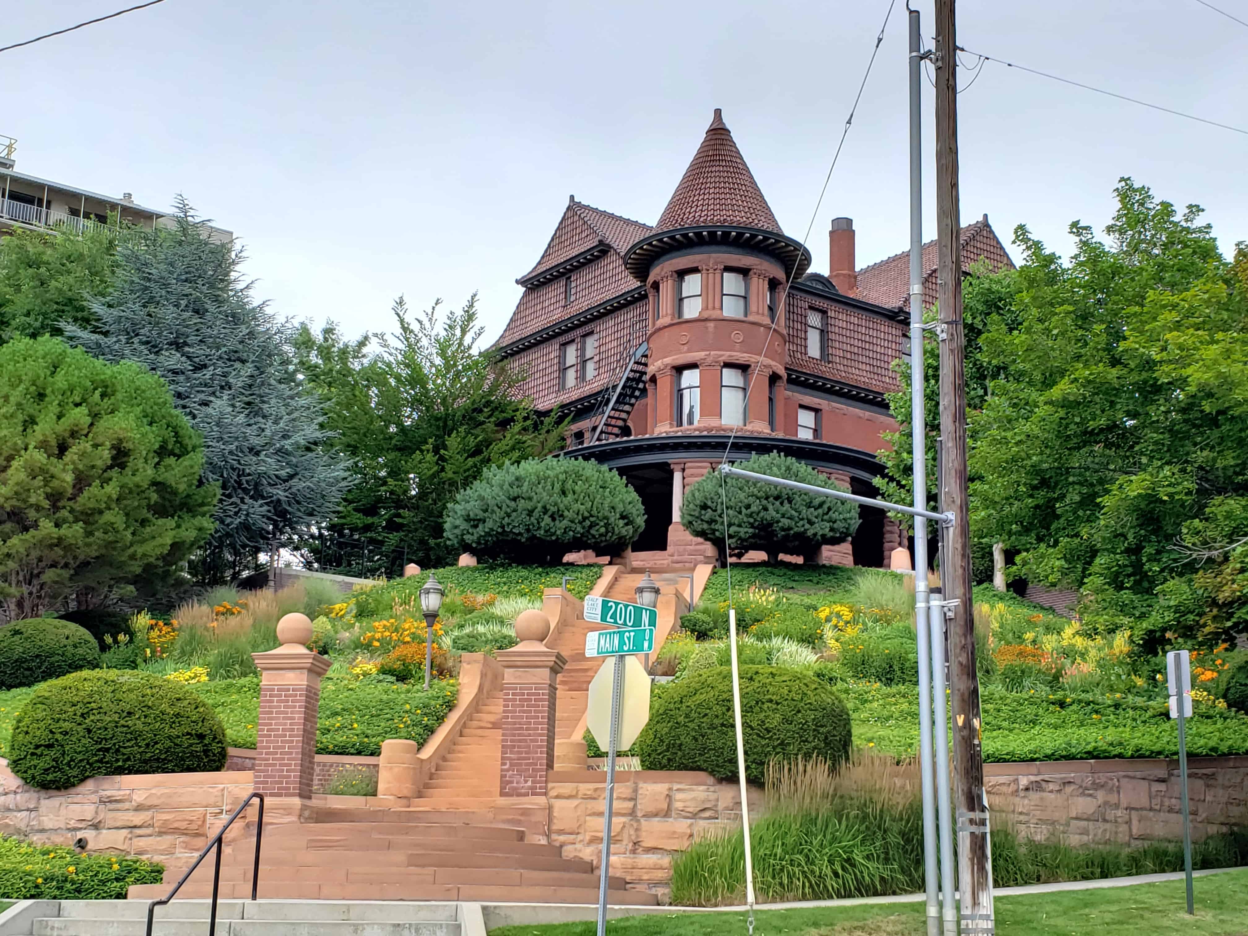
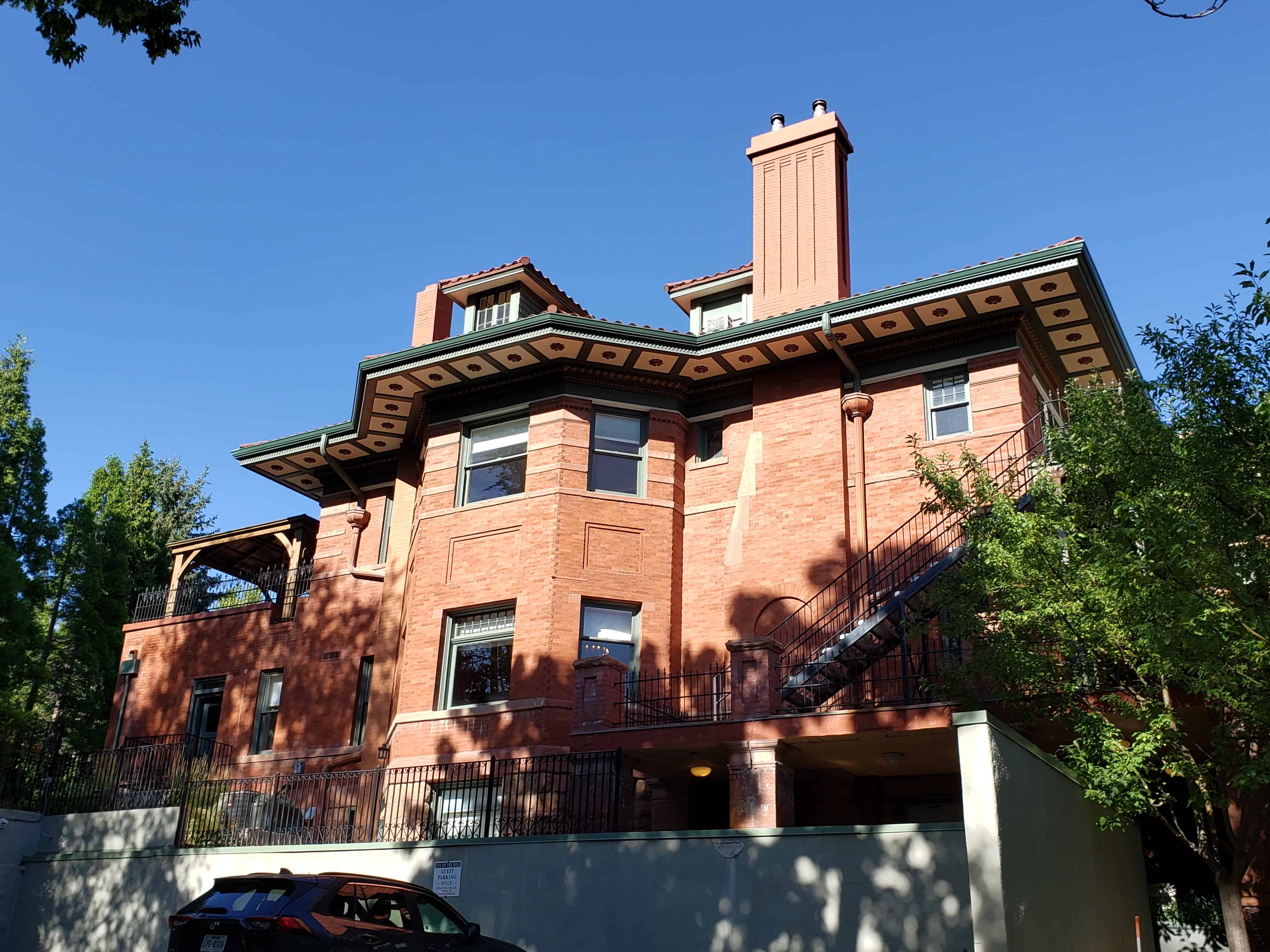
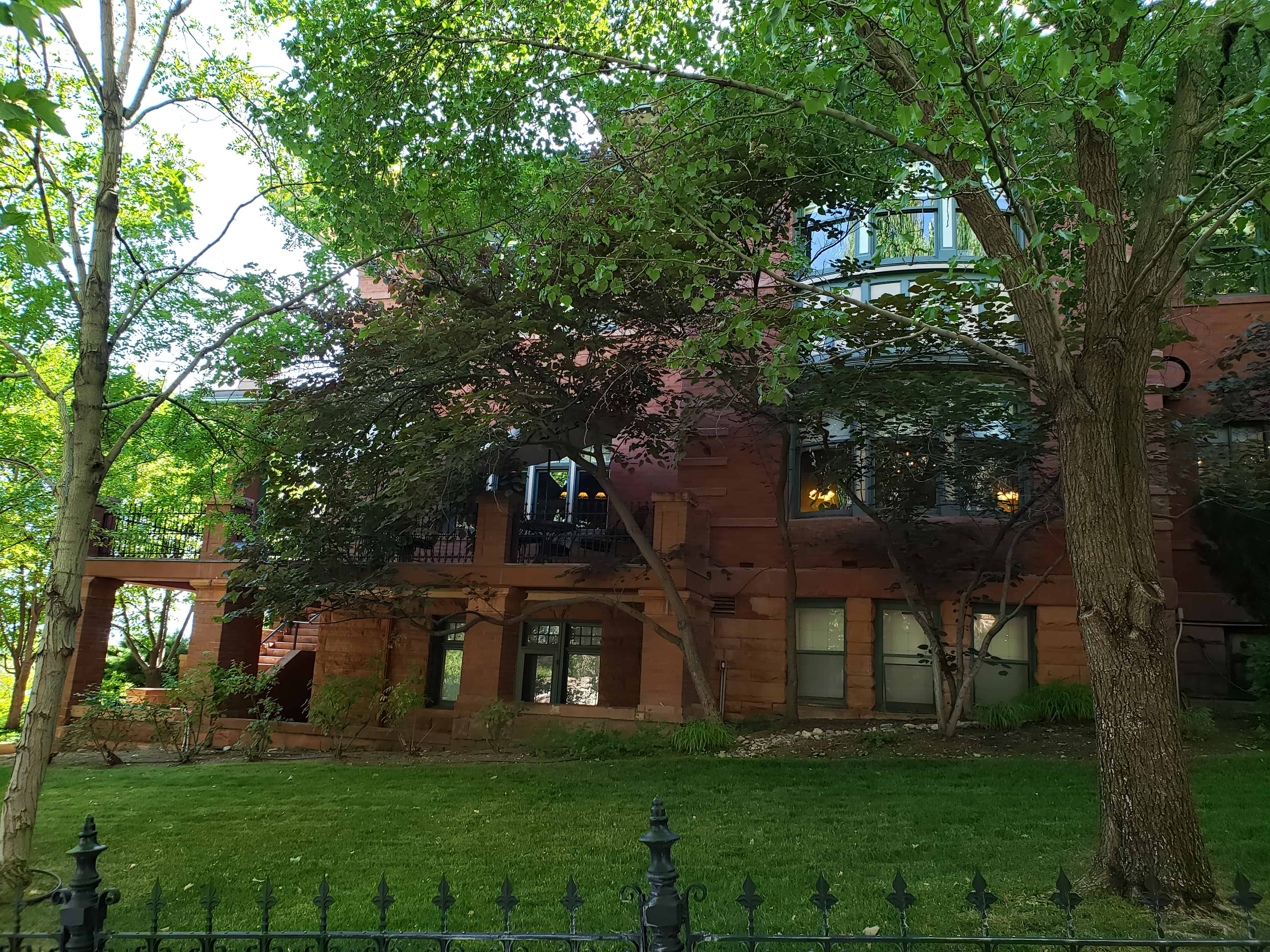
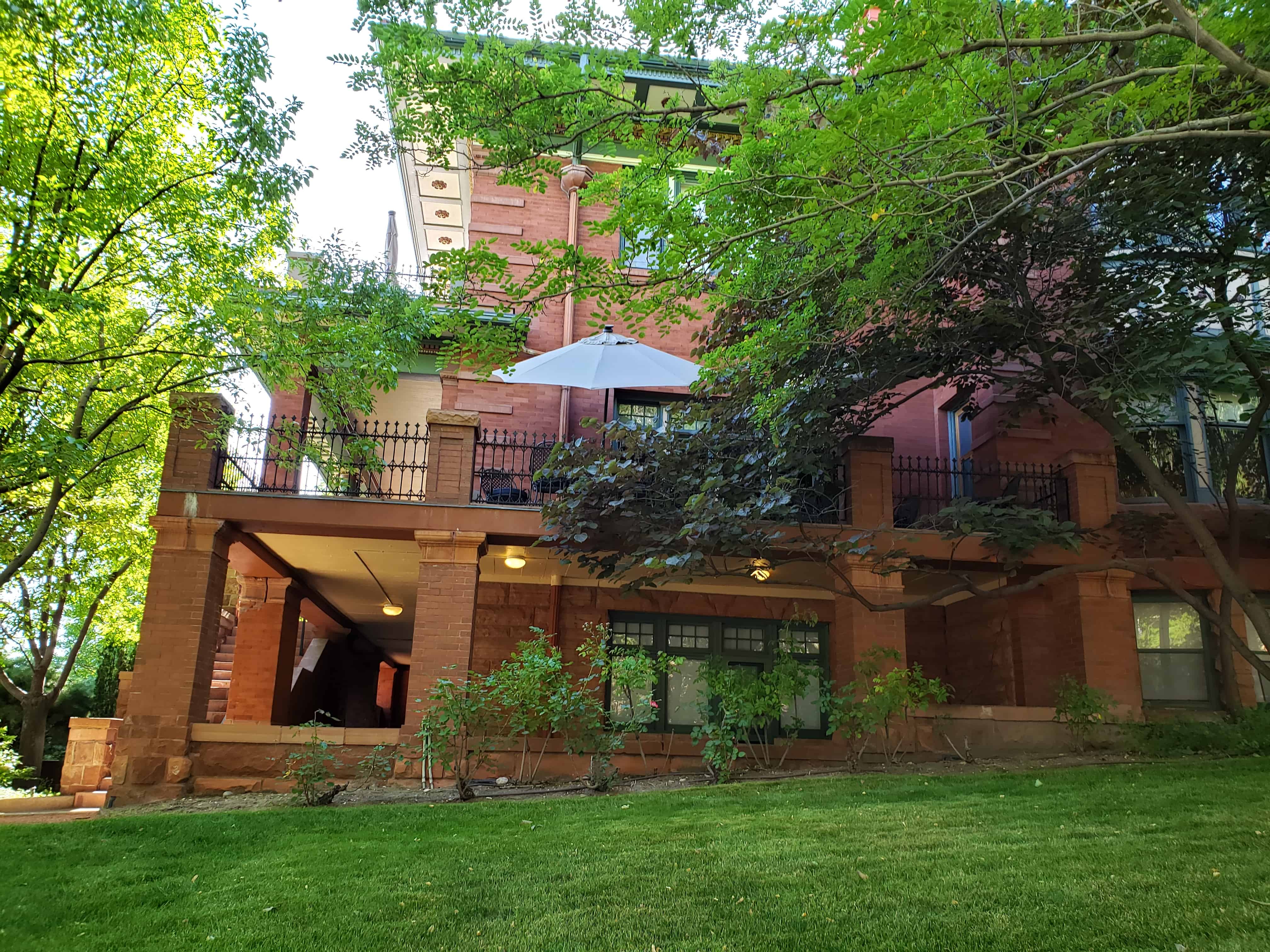
- 200 North Main Street – Alfred B. McCune – 1901
- 300 North Main Street – Daughters of Utah Pioneers Museum – 1950
- 321 North Main Street – William R. Calderwood – 1910
- 469 North Main Street – Paul E. B. Hammer – 1879
- 503 North Main Street – Joseph Dean – 1873
- 311 Quince Street
- 314 Quince Street – Richard Vaughn Morris – 1866
- 317 Quince Street – Robert C. Newson – 1890
- 319 Quince Street
- 322 Quince Street
- 324 Quince Street
- 325 Quince Street – William Asper – 1870s
- 330 Quince Street
- 333 Quince Street – Matthew N. Asper House – 1908
- 334 Quince Street – Joseph M. Watson – 1866
- 335 Quince Street – James Watson – 1866
- 336 Quince Street
- 343 Quince Street
- 344 Quince Street
- 347 Quince Street
- 348 Quince Street
- 352 Quince Street
- 355 Quince Street – Thomas Quayle – 1881
- 364 Quince Street – John Platts – 1858
- 365 Quince Street
- 366 Quince Street
- 368 Quince Street
- 369 Quince Street
- 375 Quince Street – Neils C. Christensen – 1887
- 378 Quince Street – August W. Carlson – 1872-73
- 390 Quince Street – William Morrow – 1868
- 406 Quince Street
- 414 Quince Street
- 422 Quince Street
- 426 Quince Street – Anna Eliza P. Burnswood House
- 434 Quince Street – Robert Bowman – 1879 & 1895
- 442 Quince Street – Walter Kiddle Home – 1880
- 450 Quince Street
- 452 Quince Street
- 145 North State Street – William Bernard Dougall Jr. – 1904
- 158 North State Street – Ashby Snow – 1909
- 163 North State Street – John Henry Bailey Sr. – 1906
- 170 North State Street – Edwin Gallachers – 1925
- 180 North State Street – Willard T. Cannon – 1918
- 204 North State Street – Charles P. Brooks – 1890
- 264 North State Street – Kestler Apartments – 1915
- 268 North State Street – Kestler Apartments – 1913
- 300 North State Street – Council Hall – 1865, rebuilt 1960
- 229 Reed Avenue – James Crookston – 1888
- 233 Reed Avenue – Elwood B. Tyson – 1888-92
- 241 Reed Avenue – Emma J. Whitecar – 1887
- 249 Reed Avenue – John Makaula – 1885
- 382 Wall Street – Osborne J. P. Widtsoe – 1911
- 429 Wall Street – Edward T. Ashton – 1916
- 604 Wall Street – James H. Van Natta Jr. – 1882
- 630 Wall Street – Henry Arnold – 1873-78
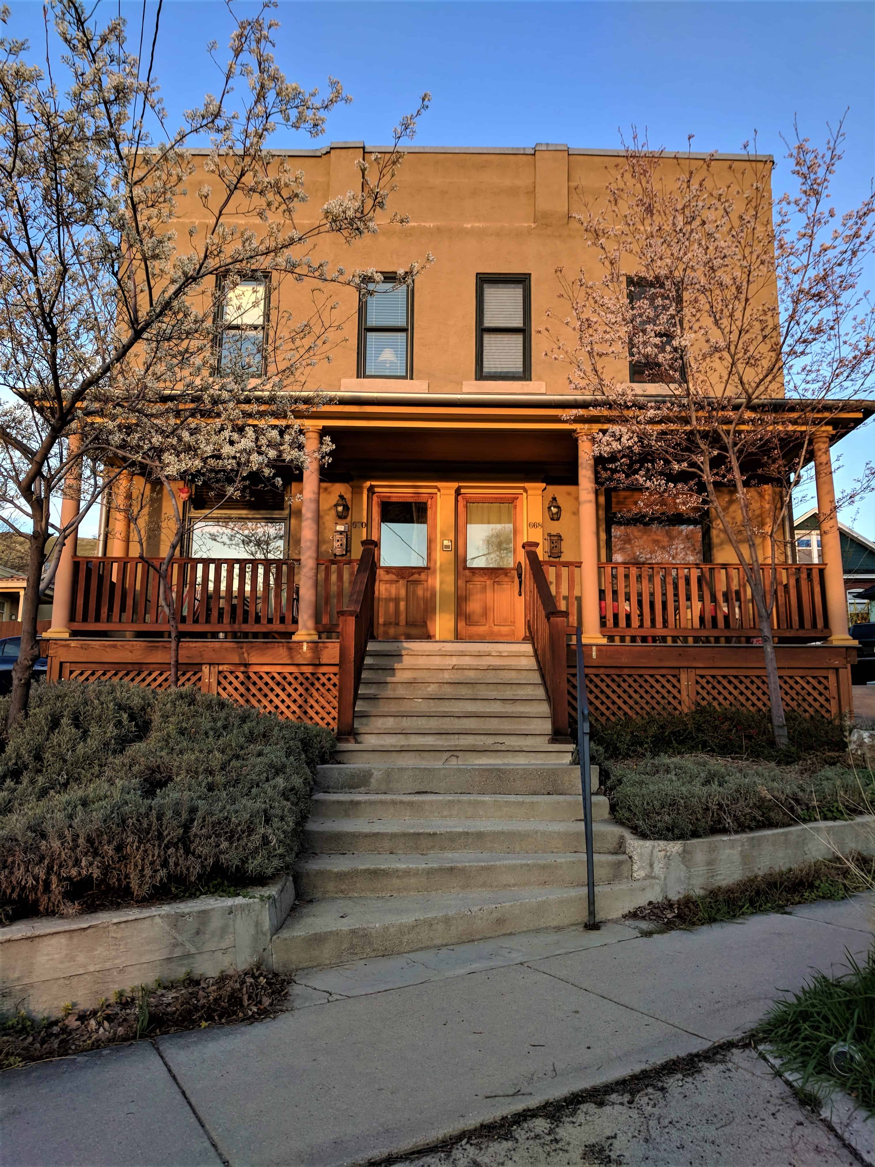
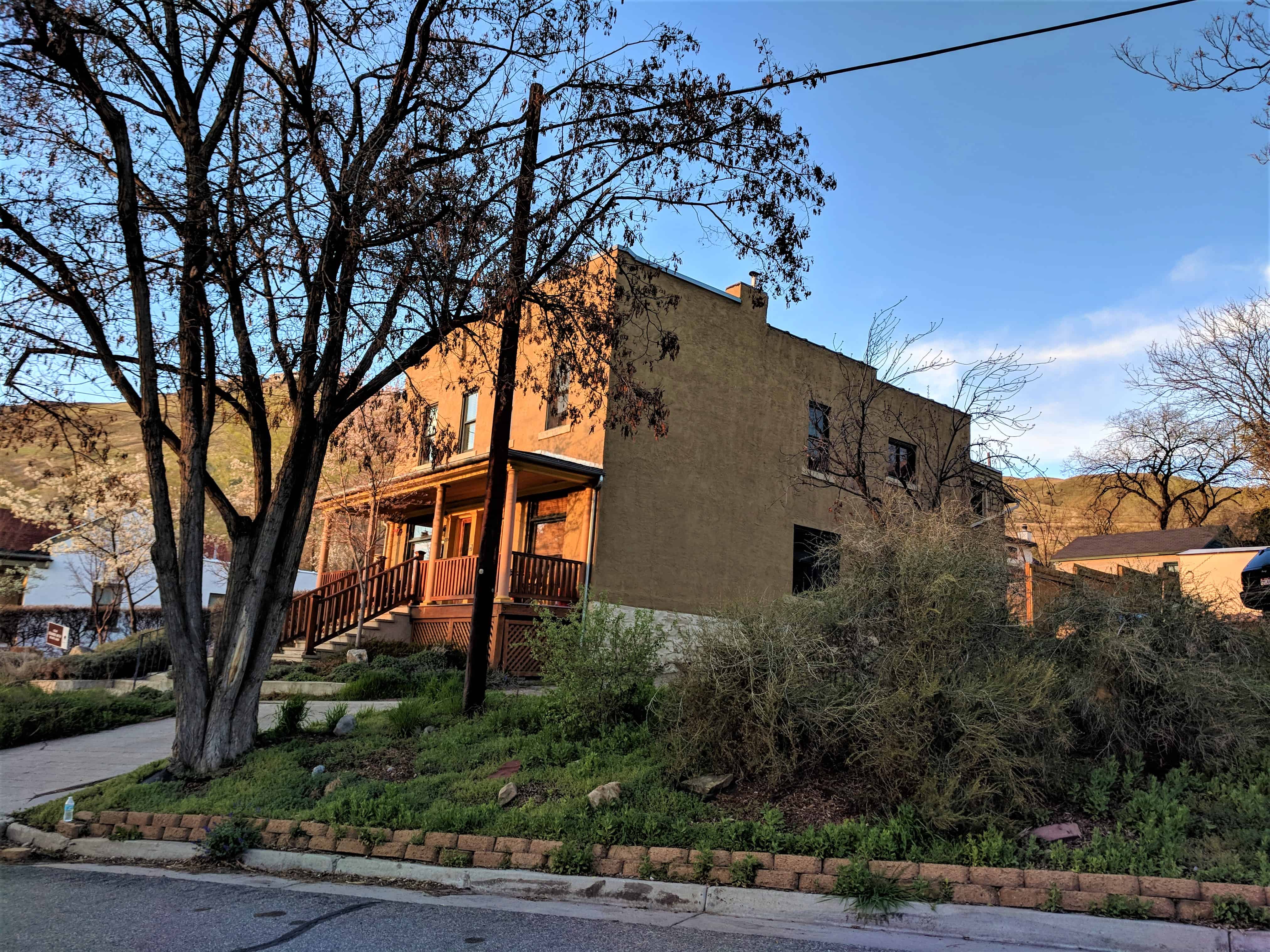
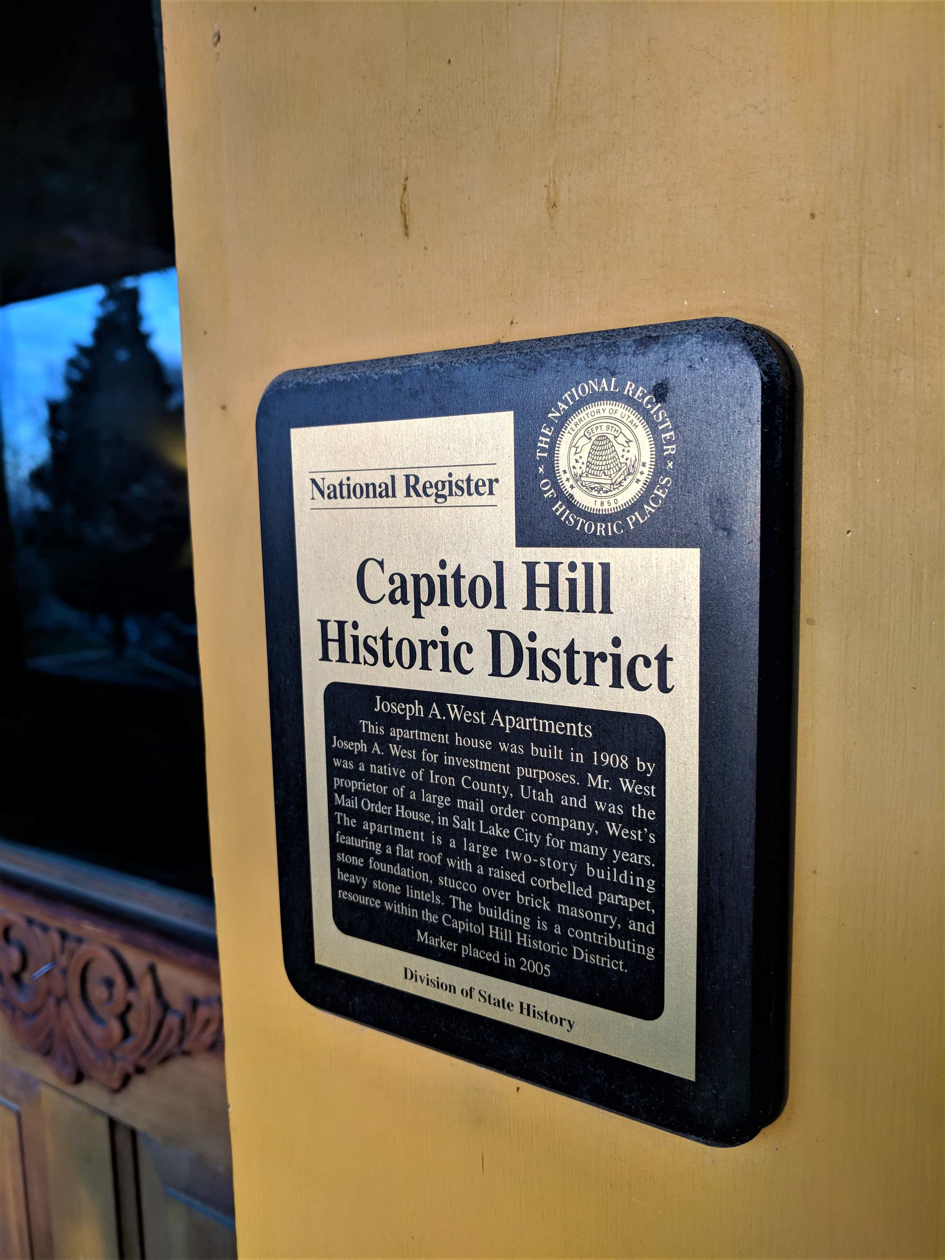
- 668-670 Wall Street – Joseph A. West – 1908
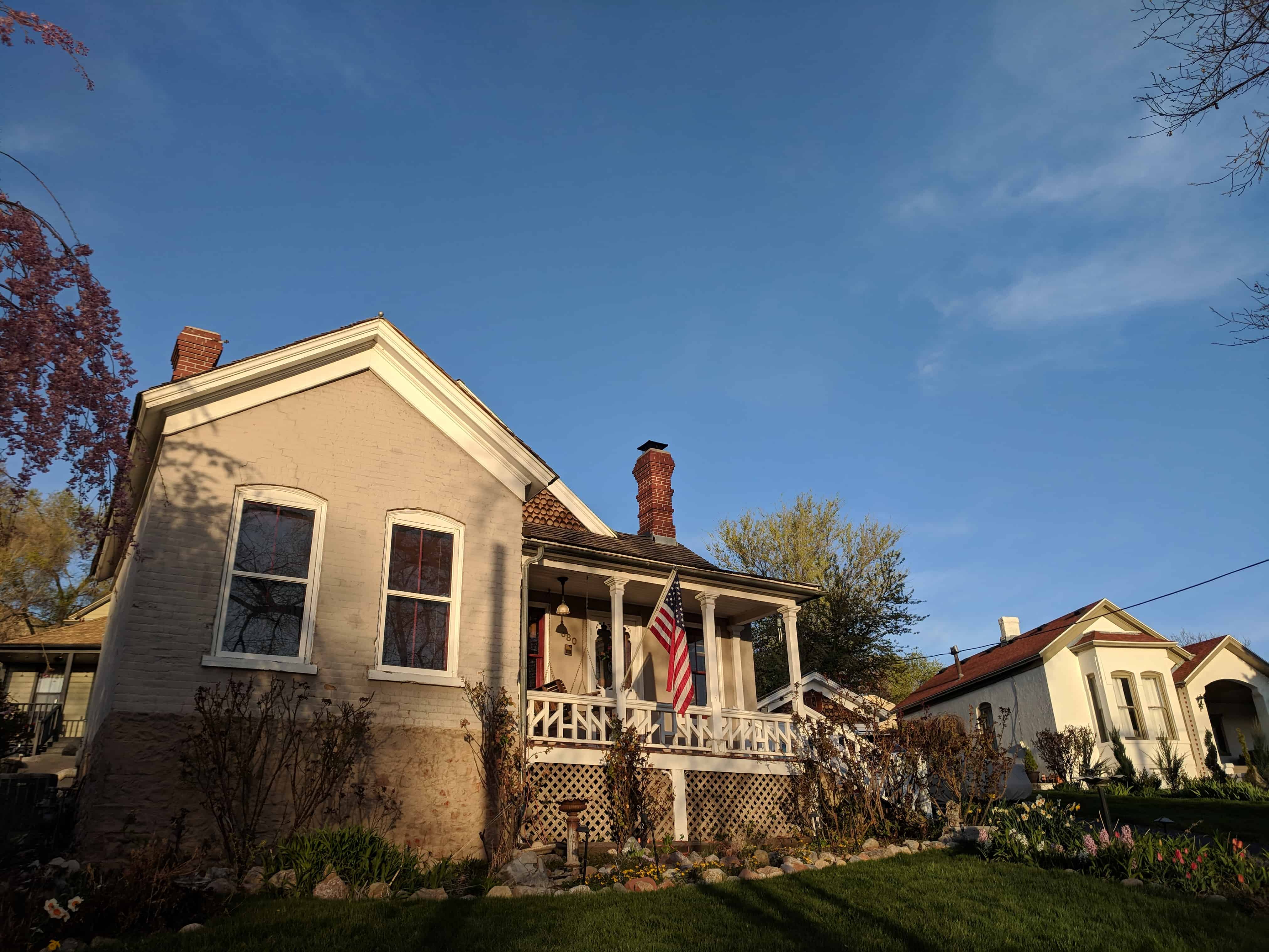
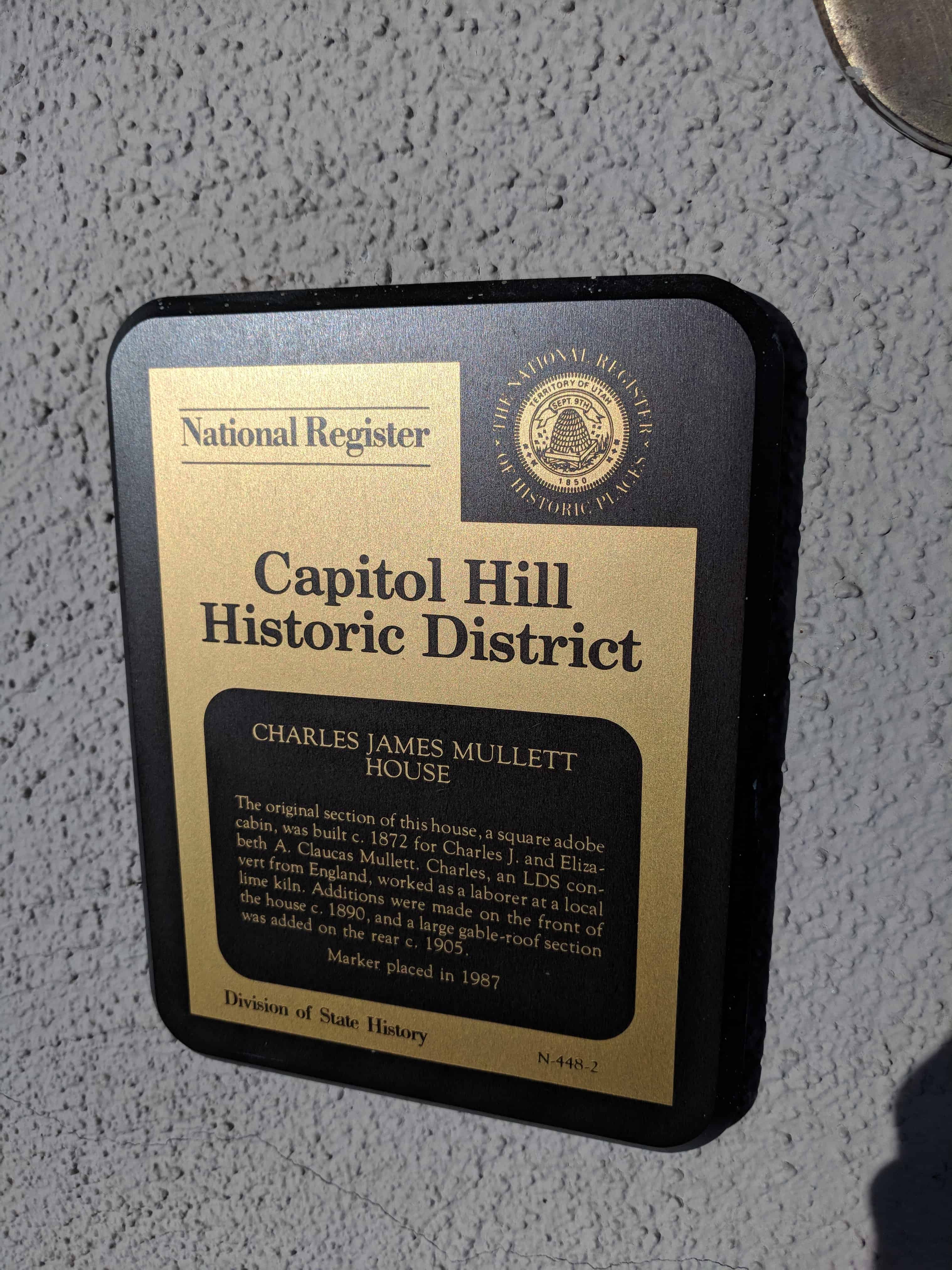
- 680 Wall Street – Charles J. Mullett – 1872
- 36 East 200 North – J. Golden Kimball – 1880
- 45 East 200 North – Seckels-Spence – 1889
- 53 East 200 North – Charles G. Crismon – 1906
- 55-65 East 200 North – Snow “Villa” Apartments – 1927
- 95 East 200 North – Edward D. Woodruff – 1906
- 10 West 300 North – Elias L. T. Harrison – 1870
- 80 West 300 North – Ebenezer Beesley – 1860s
- 102-104 W 300 N
- 112 W 300 N
- 122 W 300 N
- 128 W 300 N
- 132 W 300 N
- 142-148 W 300 N
- 230 West 300 North – Winter Apartments – 1900
- 129 West 400 North – Charles L. Berry – 1892-93
- 160 West 400 North – John D. Nutting – 1894
- 227 West 400 North – Harden Bennion – 1892
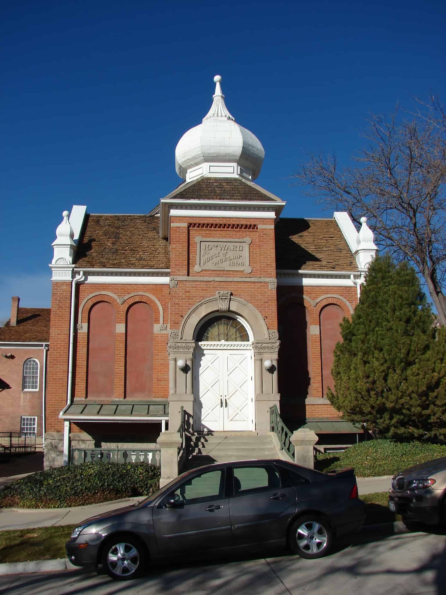
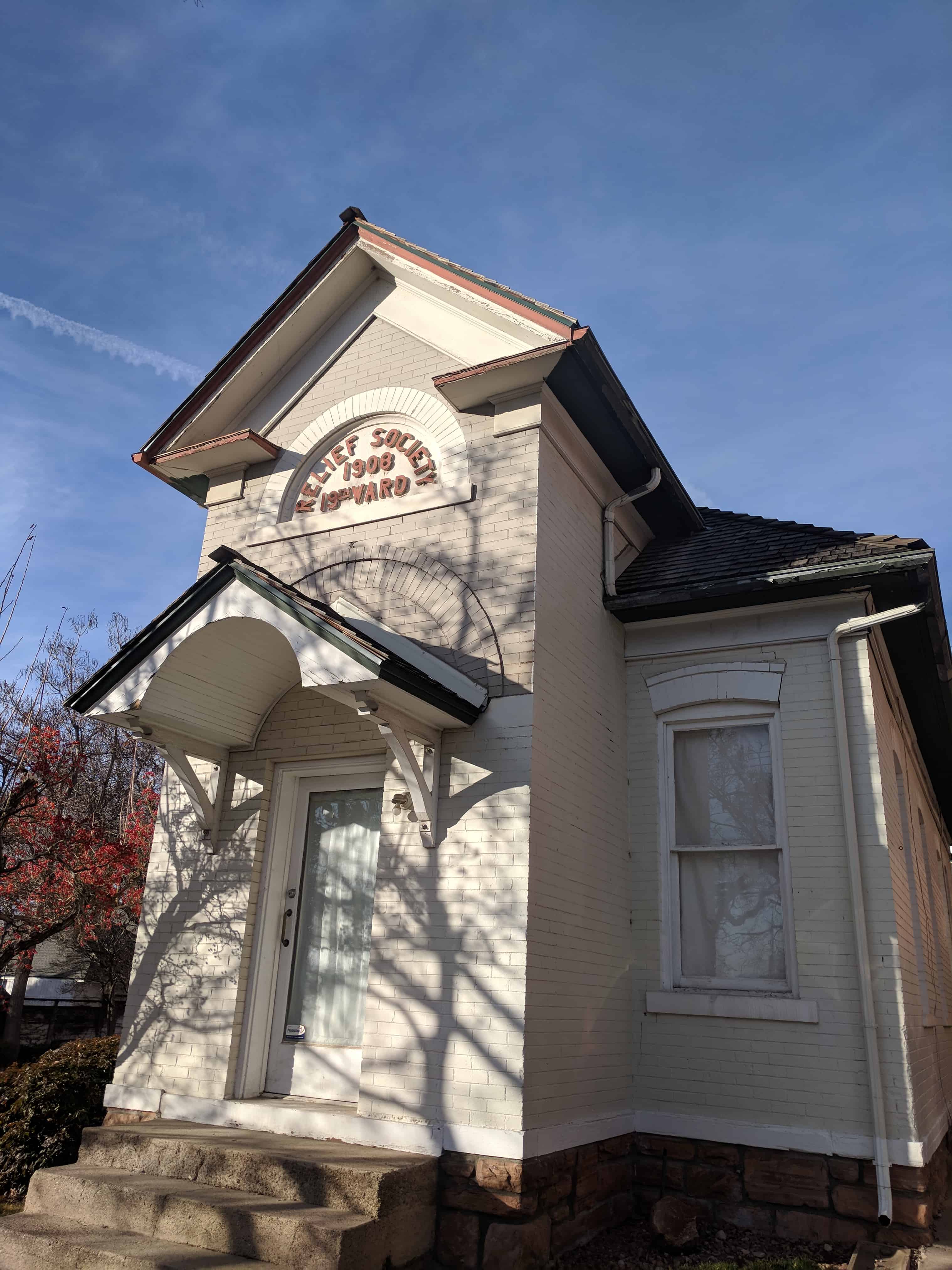
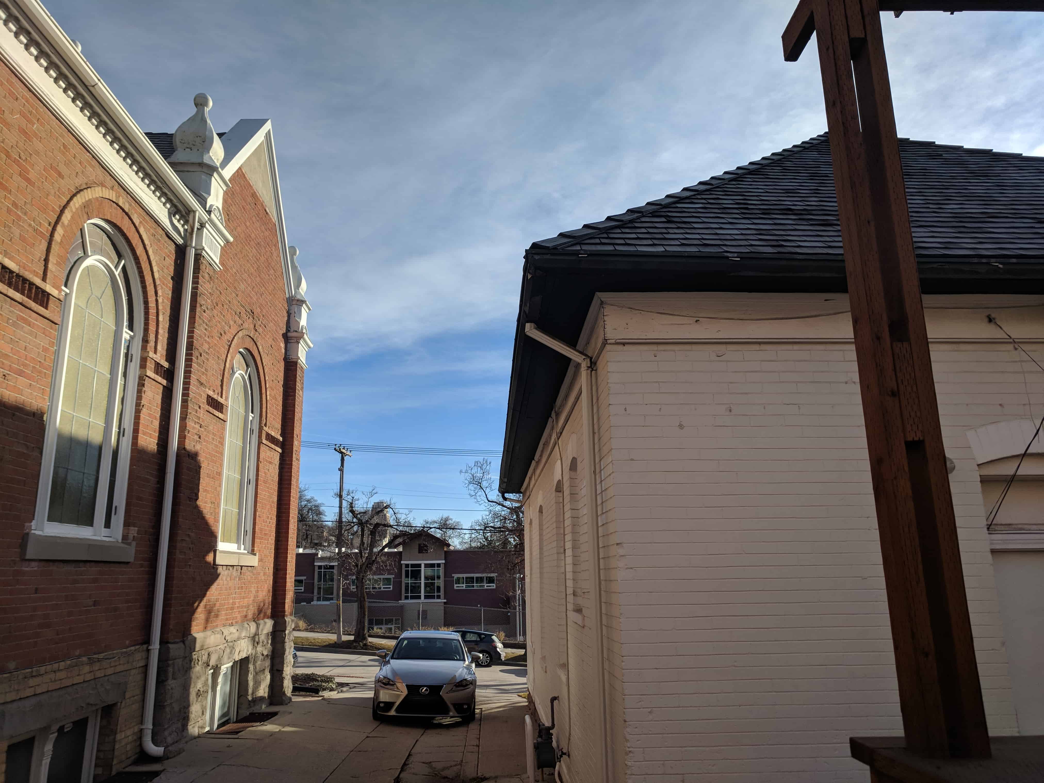
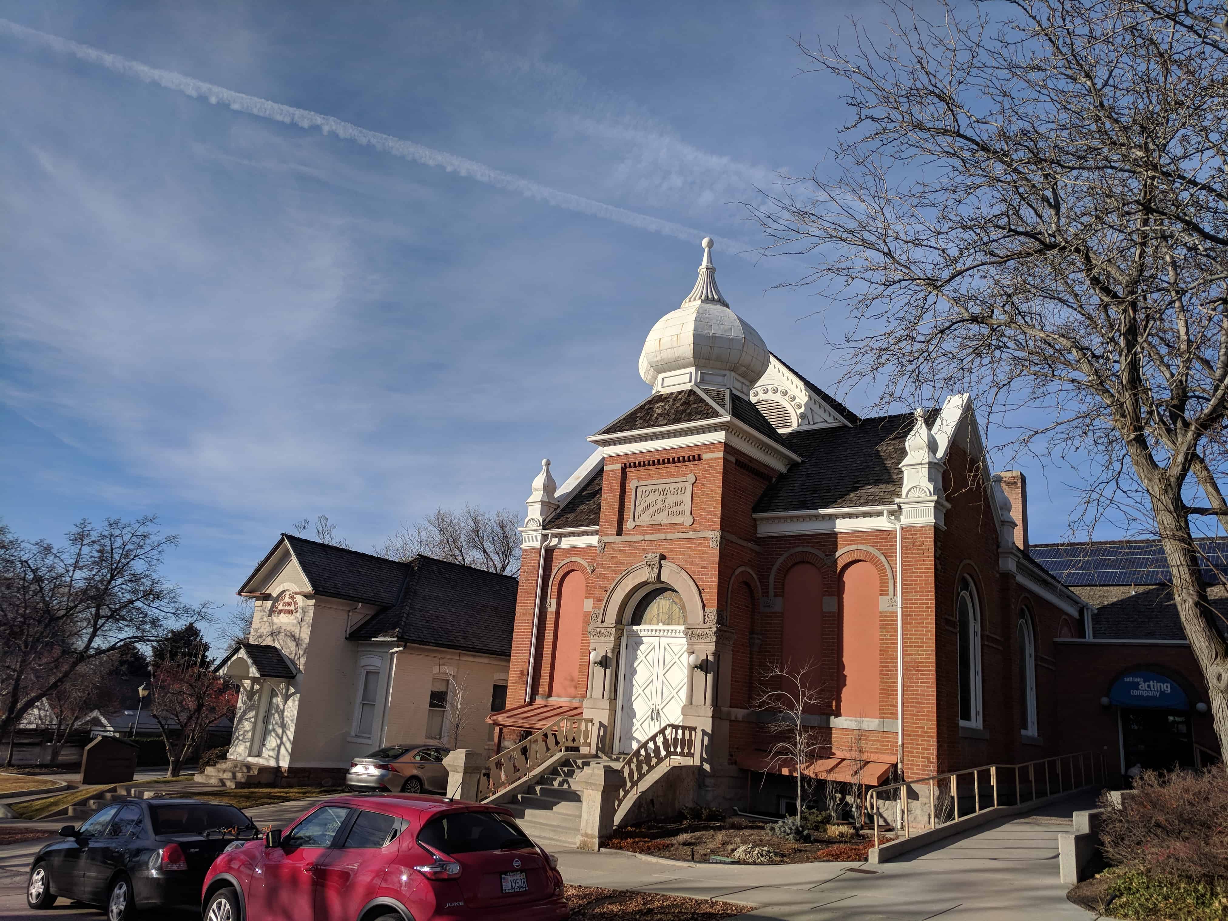
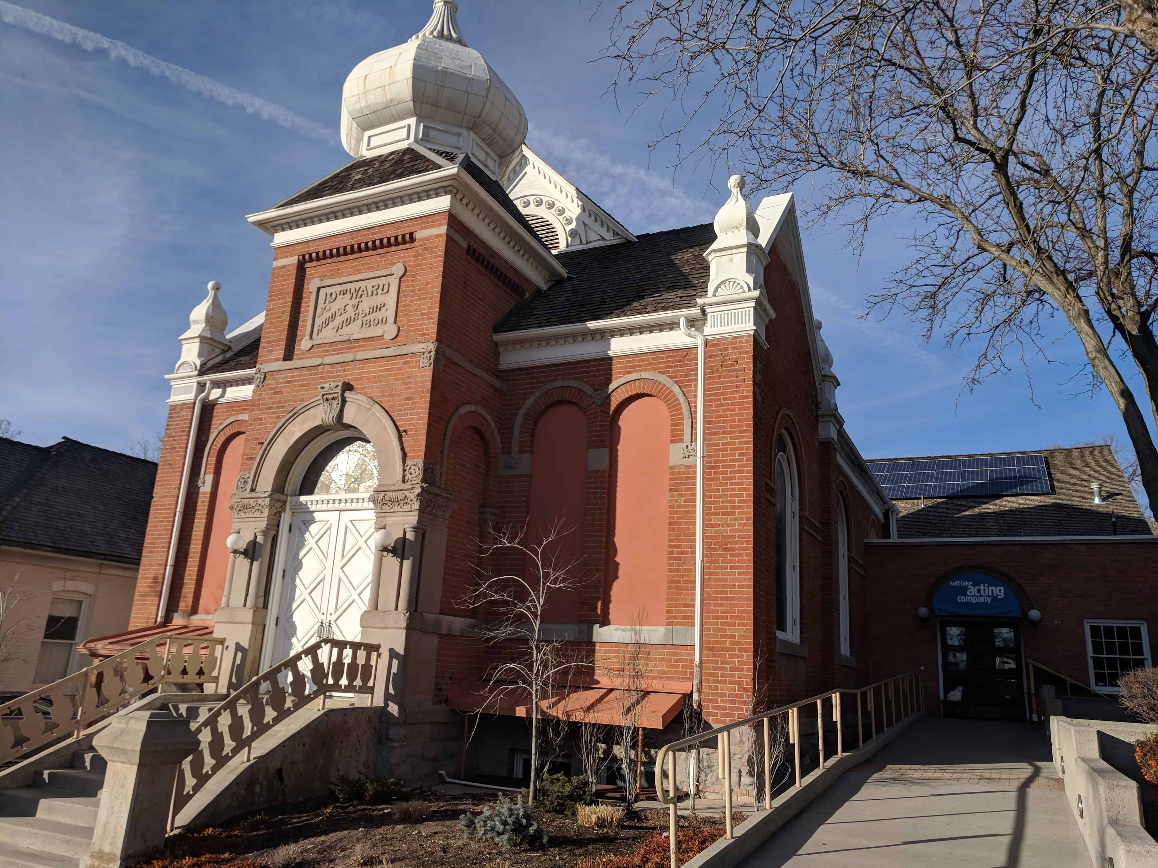
- 168-170 West 500 North – 19th Ward Chapel – 1890-92
- 136-146 West 600 North – James J. Wyatt – 1885
- 337 North 200 West – Joseph Larson – 1909
- 516 North 200 West – John M. Eslinger – 1892
- 560 North 200 West – Anders W. Winberg – 1845, 1856
- 633 North 200 West – Joseph Silver – 1878
- 672 North 200 West – Jacob F. and Susa Young Gates – 1904
- 700 North 200 West – 24th Ward Chapel – 1906
- 705 North 200 West – Rhoda W. Sanborn – 1893
- State Capitol
Intrusions
- 221 Ardmore Place
- 221 Ardmore Place
- 221 Ardmore Place
- 221 Ardmore Place
- 221 Ardmore Place
- 221 Ardmore Place
- 345 North 200 West
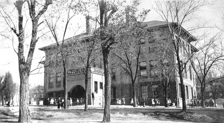
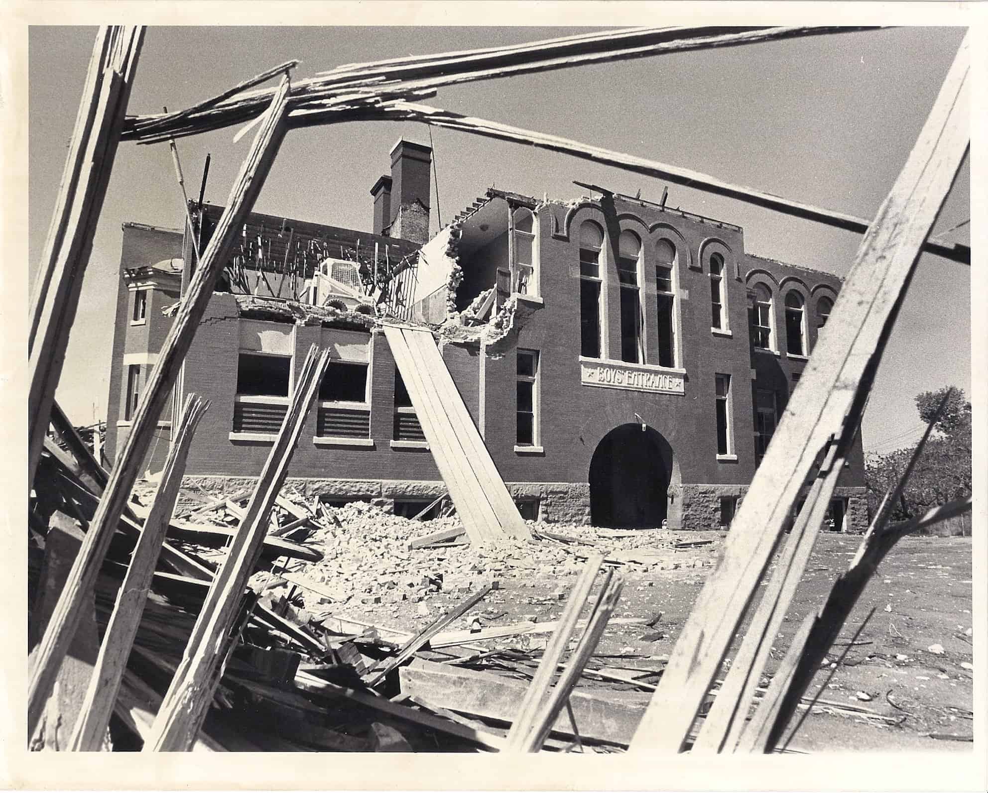
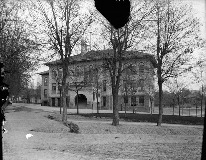
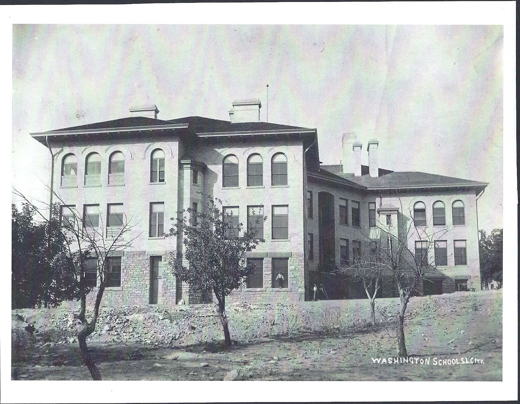
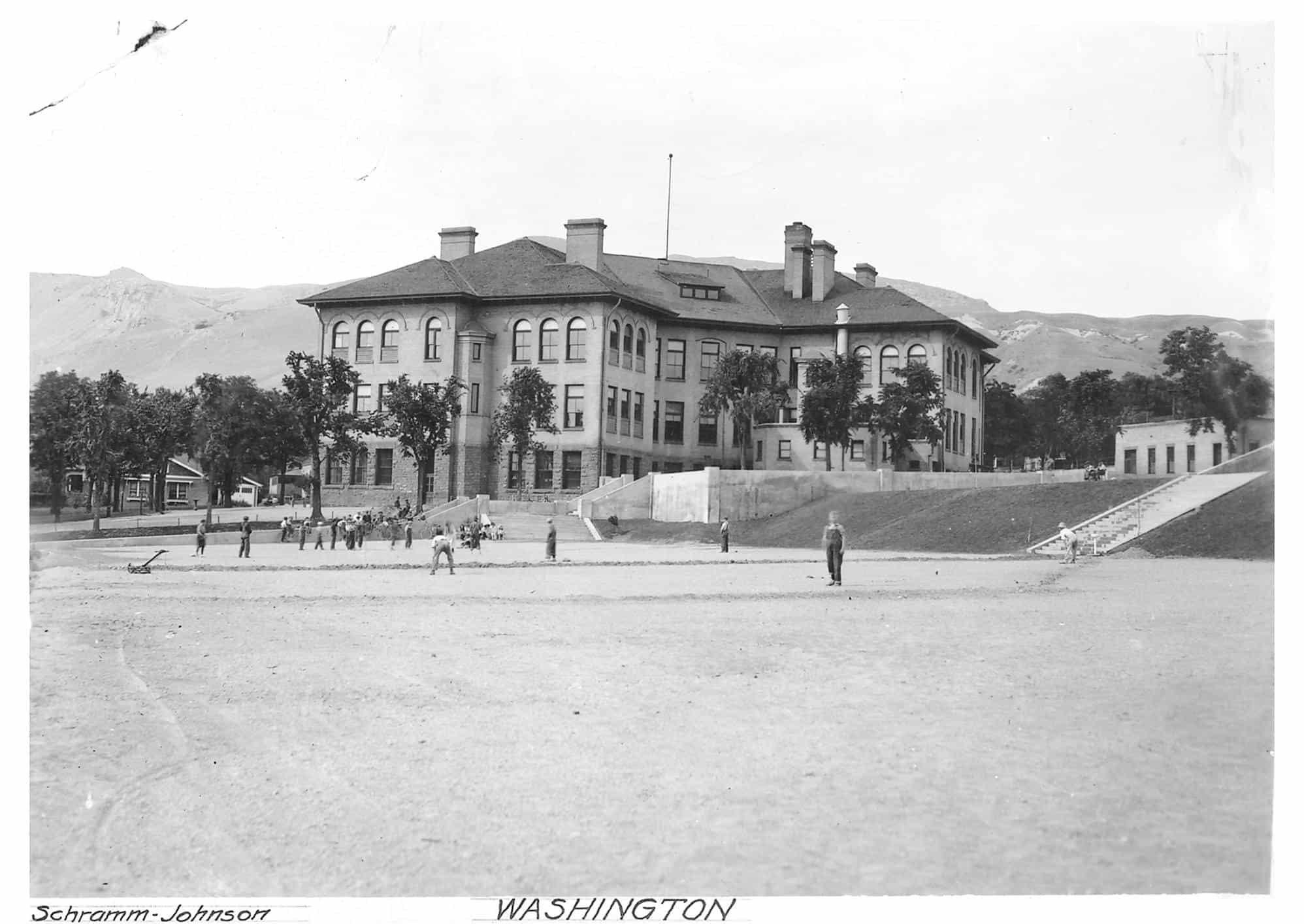
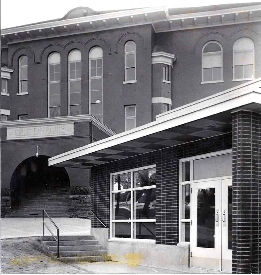
- 450 North 200 West – Washington School
The advance party of Mormon settlers arrived in Salt Lake Valley on July 24, 1847. The following day Great Salt Lake City was platted. In accordance with Joseph Smith’s precepts for the City of Zion, many of the Twelve Apostles chose their inheritances to be shared among their family, friends, and followers. Land north and west of Temple Square fell to Heber C. Kimball, First Counselor to President Brigham Young. This land rose in a gentle slope to the north, leveled in a beach terrace left by receding ancient seas, and then rose more sharply to a rounded summit later named Ensign Peak. To the west the hillside fell away sharply along a major fault line. To the east, City Creek cut a steep canyon through the bench. The
remaining peninsula of high ground pushed out from the hills toward Temple Square. In 1888 the City government set aside twenty acres on the broad, level top of the hill for the capitol to be built when Utah should become a state.
In the first decades of settlement, the water of City Creek supplied the center of the city with culinary and irrigation water and powered a string of mills that sprawled down the canyon and followed the creek to the west around the south slope of the Hill. Above the mills, close to Temple Square and the city center and looking southwest across the valley to the Oquirrh Mountains, rose the houses of the Kimball family and their friends. From midway up the slope the hill was bare, pocked with gravel pits. At a distance stood the City powder magazine and arsenal which gave its name to the south slope, Arsenal Hill. Farther north the City Wall ran from the hot springs baths diagonally to the southeast, crossed the open top of the Hill, plunged into City Creek Canyon, mounted the other side and continued to the east. Begun in 1853, the rock and adobe wall served more as a public works project than as a practical defense. The wall soon fell into disrepair and eventually disappeared entirely, its location remembered in the diagonal line of Wall Street.
Citizens of the City of Zion were ideally to be farmer-craftsmen, each family supplying many of its own needs in a walled city of small garden farms. Settlers preferred the soil of the flat valley floor. Its soil was richer than the land on the Hill, and more easily cultivated and watered by ditches from the mouths of the “wet” canyons. The regular grid of the city plats thrust tentatively onto the lower slopes of the Hill but then quickly disappeared in gravel and brush. From the earliest years of settlement, however, settlers of more modest means were attracted to this less desirable land located within an easy walk of the center of the city. Most were emigrants from the British Isles and Scandinavia, their originally slender resources strained by the cost of the Atlantic passage. Like August Winberg, a blacksmith, (560 North 200 West, c. 1854-1855) or John Platts, a mason, (364 Quince Street, c. 1856), they were craftsmen who relied on their trades for their livelihood and often built their simple houses themselves.
Most of these early residents on the Hill probably managed by some contrivance to supply enough water for small gardens as well as their household needs. John Platts is reported to have grown prize peaches on his high sloping lot. Brick and stone cisterns appear on fire insurance maps of the nineteenth century, small ponds appear in early photographs, wells are known to have existed on the lower slopes, and a few sections of irrigation ditches survive. The difficulty of bringing water to the hillside, however, was probably the single most important factor in confining early settlement to the lower margin of the Hill.
Water was probably first brought to the Hill by extending the system of ditches and flumes that supplied the mills in City Creek Canyon. By the late 1880s City Creek had been tapped in three places by a system of cast iron mains that brought the water to distributing reservoirs located on high points around the city. One line served a cement-lined reservoir located just north and east of the present Capitol Building. A second line, interconnected with the first, ran from a holding reservoir in the canyon down the east edge of the Hill and turned west on 300 North, then angled northwest and downhill along Center Street. Wooden stave pipe, some in use until the 1930s, distributed the water to users, many of whom must first have been served by public taps. The head of this gravity system was sufficient to supply all of Capitol Hill.
Dependable water accelerated the development of the upper slopes of the Hill. When the area was finally platted in the 1860s, some of the wandering lanes that crossed the face of the hill, such as Vine and Crooked Street -later straightened and renamed Almond, were surveyed and recorded as city streets. In place of the north-south streets of the regular city plats were diagonal streets that more or less paralleled the old City Wall. The eastwest streets of the city grid, however, were uncompromisingly projected up
the slope, producing some “streets” that are still impassable. The eight-rod streets laid out in the rest of the city, “wide enough to turn a team of oxen,” were simply inconceivable on the hillside. The result was the west slope’s most distinctive feature – the layout of its streets and blocks. Streets of varying width and grade cross each other at unpredictable angles defining small blocks of varying shape and size. In the early 1880s the west slope became a more fashionable place to live and the original street names
-Bird, Cross, Locust – were replaced uniformly with names of fruits. This stylish scheme of names gave the area a name of its own, the Marmalade District, or more usually simply the Marmalade.
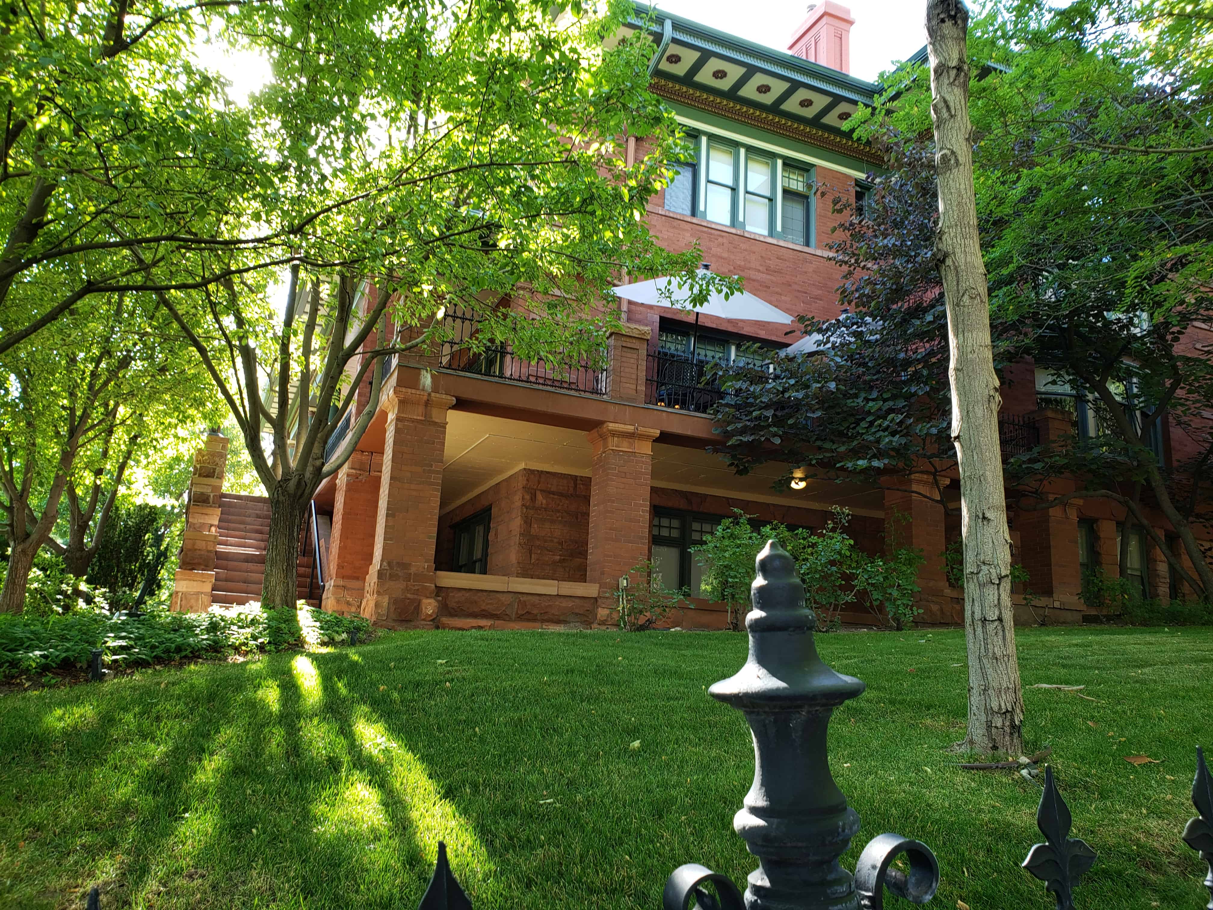
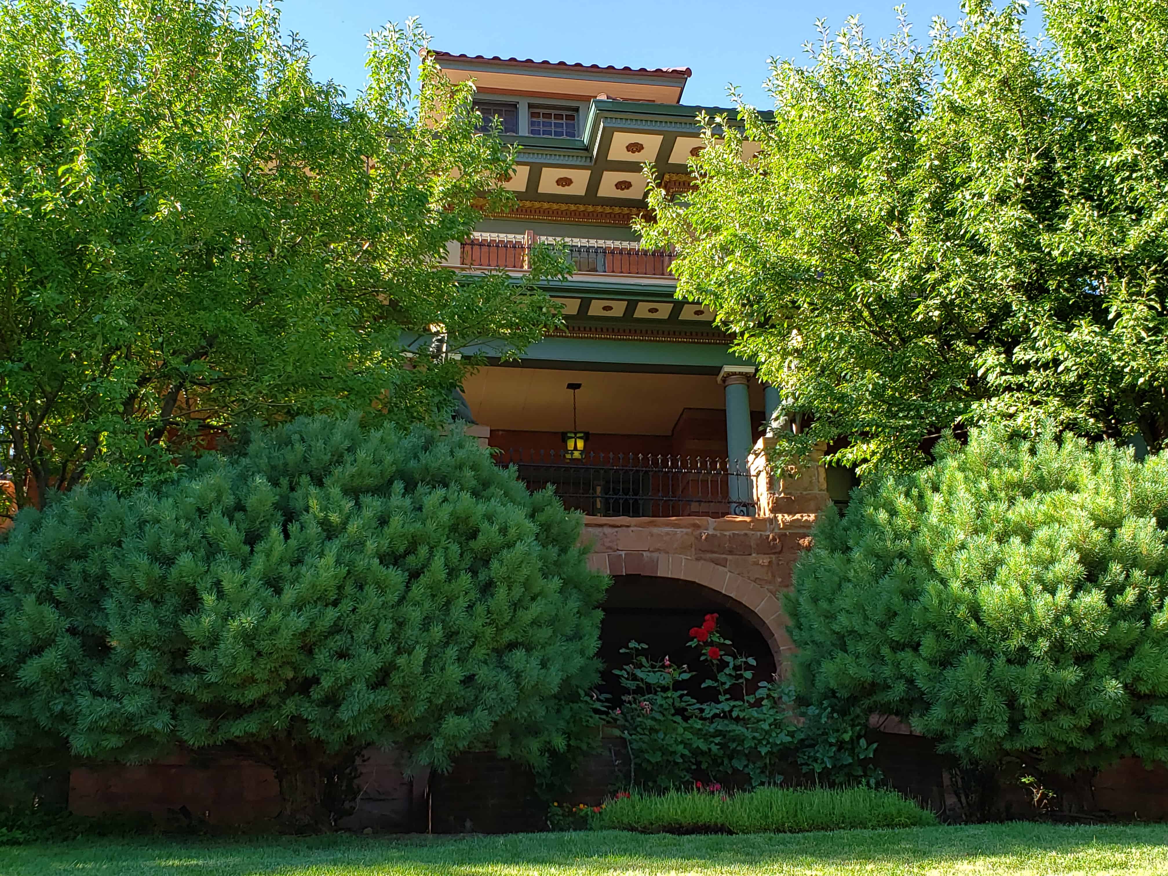
In the 1880s and 1890s substantial mansions appeared at the corners of blocks low on the south and west slopes of the Hill. John R. Park, (166 North State St., c. 1875, demolished), Charles P. Brooks, (204 N State St., 1890), Robert N. Baskin, (200 N. State St., c. 1876, demolished), William S. McCornick, (199 N. State St., c. 1886, demolished), and William A. Hooper, (348 N.200 West, c. 1880?, demolished) placed their homes away from the smells and dust of the city but within an easy walk or a pleasant drive and with fine views of the valley. The comfortable houses of the upper middle class – successful craftsmen and contractors, small manufacturers and merchants, professional men and secondary officials of government and the Church – were more characteristic of the west slope of the Hill. Their homes appeared on the corners of blocks all over the Hill and clustered on the broader and more imposing diagonal streets, especially Quince and Center Streets. E. L. T. Harrison, an architect, (10 West 300 North, c. 1870), Henry Arnold, businessman (640 Wall St., c. 1860 et seq.), James Watson, stone contractor, (335 Quince, c. 1866), William J. Silver, ironmaster, (518 Center St., c. 1860 and 1897), and William Asper, lumberman and contractor, (325 Quince St., 1870’s), found sites on the Hill for the houses that expressed their success and substantial position in the community.
The middle and lower classes found lots between the corners, on the narrower east-west streets, and occasionally behind the first rank of houses and in the interiors of blocks. These clerks, (William Henry Perkes, 92 Apricot St., 1873), craftsmen, (William Southam, 540 West Capitol St., c. 1880), and factory workers built smaller, simpler homes. Laborers bought or rented small cottages like the tightly packed row that survives on Reed Street at the north end of thd district. Tenements (136-146 W. 600 N. , James
J. Wyatt, c. 1885), and boarding houses (318 Center St., Engbert Olsen, 1873) were less common. More commonly, even the poorest houses were occupied by their owners.
Residents of the Hill found their neighborhood conveniently close to the varied activities of the city. They found work in the business district of the central city and in a variety of manufacturing and retail establishments such as the Z. C.M.I. Tannery, 244 W. 500 N. , Davis, Howe, § Co., hardware, 115-127 N. West Temple, the Utah Soap Manufacturing Co., 245 W. 500 N. , and Silver’s Iron Works, 149 W. North Temple – all located within a half hour’s walk of any part of the Hill. The University of Deseret, the L.D.S. Church University, the city’s only public high school, a private academy, the Keeley Institute for the Cure of Addiction, and the Keogh-Wright Hospital were all located within a few blocks of Capitol Hill. By the 1890s streetcar lines up 300 West and down the diagonal of Center Street tied the Hill even more closely to the city.
As the properties were repeatedly divided into smaller lots and the population grew, small groceries, meat markets, and occasional general merchandise stores appeared every few blocks to meet the needs of their immediate neighborhood. The number of these small establishments peaked in the 1920s before the automobile made possible the re-centralization of retail sales. With the exception of the Z.C.M.I. Shoe Factory and the J. W. Summerhays Tannery, later operated by the United Order of the Nineteenth Ward, no manufacturing enterprises of any size or permanence took root in the district. Occasional family enterprises -a blacksmith shop or shops producing soap or sausage or paper boxes -appeared, but overall the Hill remained an area of modest houses and the stores and churches that met their needs.
The population of the Hill appears to have retained its predominantly Mormon character longer than other central neighborhoods of the city. The small, sometimes awkward hillside lots may have found buyers among the continuing flow of new foreign converts of slender means more readily than among newcomers from “the States.” The latter were more likely to be gentiles and of more substantial means. The original Nineteenth Ward of the L.D.S. Church stretched away to the Jordan River on the west and the Warm Springs on the north. As the city grew this original jurisdiction was repeatedly subdivided into new wards so that the district at one time was represented in four wards and contained three functioning ward chapels (19th Ward Chapel, 168 West 500 North, 1890-1892; 24th Ward Chapel, 700 North 200 West, 1906; Capitol Hill Ward Chapel, 400 North West Capitol, 1928-1929). But the Hill was most strongly associated with the Nineteenth Ward (168 West 500 North, 1892). There was no ready division between the residential neighborhood that spread down the west slope and the residential blocks to the west. A Pugsley from west of 300 West was as likely to sit on the ward building committee as an Asper from Quince Street. Three Hundred West had more shops but was essentially another residential street.
In the 1880s, however, the number of gentiles on the Hill began to rise. The Denver and Rio Grande Western Railroad shops were conveniently close and many engineers and other railroad men chose the Marmalade and the blocks immediately to the West to settle their families. “Mining men” – engineers, managers, promoters, surveyors – initially almost invariably gentiles, chose houses on the Hill, apparently accepting the necessity for travel and frequent, prolonged absences. Men trained in the new trades -telegraph and telephone men and electricians such as Stephen D. Greenwood, telegraph lineman (642 Center St., 1909) – found the Hill attractive and within their means. The establishment of the Plymouth Congregational Church, (354 W. 400 N., c. 1893, demolished) reflects the new gentile presence. A modest amount of religious diversity was thereby added to the economic and social diversity that had characterized the Hill from the earliest days of settlement.
After 1900 residential construction was concentrated on the upper parts of the west and south slopes of the hill. Unattractive when water and transportation were difficult, this land was never built upon or had been bought cheaply and built up with insubstantial houses that were razed for new construction. The Alfred McCune (200 N. State St., 1901) and Edward D. Woodruff (95 E. 200 N, 1906) mansions replaced earlier construction on Arsenal Hill where the John R. Park house yielded to three substantial houses in the first two decades of the twentieth century. The upper reaches of Arsenal Hill had remained bare since the explosion in 1876 of the forty tons of powder then stored there. Although the arsenal land was sold off by the city shortly after 1900, the top of the slope showed only scattered buildings as late as the 1930s.
The completion of the Capitol Building in 1916 and the planting of its grounds made the crest of the hill an attractive residential area, however, and new houses appeared to flank the Capitol on the south and west. The present grounds incorporate additional land initially platted into residential streets upon which several houses were built and subsequently razed. The houses built by men such as George S. Ashton (404 Wall St., 1920), first Bishop of the Capitol Hill Ward (400 West Capitol, 1928-1929) and the contractor for the stone in the Capitol Building, appear modest because of the subsequent inflation of popular conceptions of the space necessary in a house. Indeed the social-economic status of many Hill residents will be underestimated unless this inflation is remembered.
Although residential construction in the upper areas of the Hill remained active in the late 1920s and even recovered from the depression slump in the late 1930s, prestigious house sites were no longer being sought on the Hill. After World War II the aging housing stock on the Hill and the exodus to the suburbs began to take their toll as they did on other central residential neighborhoods. New construction of single family homes continued on the upper slopes of Arsenal Hill but in the Marmalade such new construction as occurred was two, three, and four unit rental housing of a plain, unornamented character. Conversion into rental units of single family houses, both smaller and larger, which had begun in the 1930’s accelerated in the 1950s.
Much of the housing on the Hill slumped from modest to marginal and the area acquired a questionable reputation. It housed a mixture of long-time residents, low-income tenants, transients, and university students. The most deteriorated sections were generally believed to harbor prostitutes and drug dealers. The restoration of Capitol Hill began in the 1960s with long-term residents determined to preserve their neighborhood, acquired impetus from the surge of interest in preservation, and was well underway by the time shortages of gasoline prompted a return to inner city neighborhoods. Many houses in the district are undergoing renovation or restoration. Some of the new construction of multiple-unit structures has been sympathetic, but the area is under increasing pressure from developments whose massing and scale would irreparably damage the character of Capitol Hill.