Tags
Clark County, Historic Districts, Mormon Road, Nevada, NRHP, Old Spanish Trail, Spanish Trail, The Old Spanish Trail
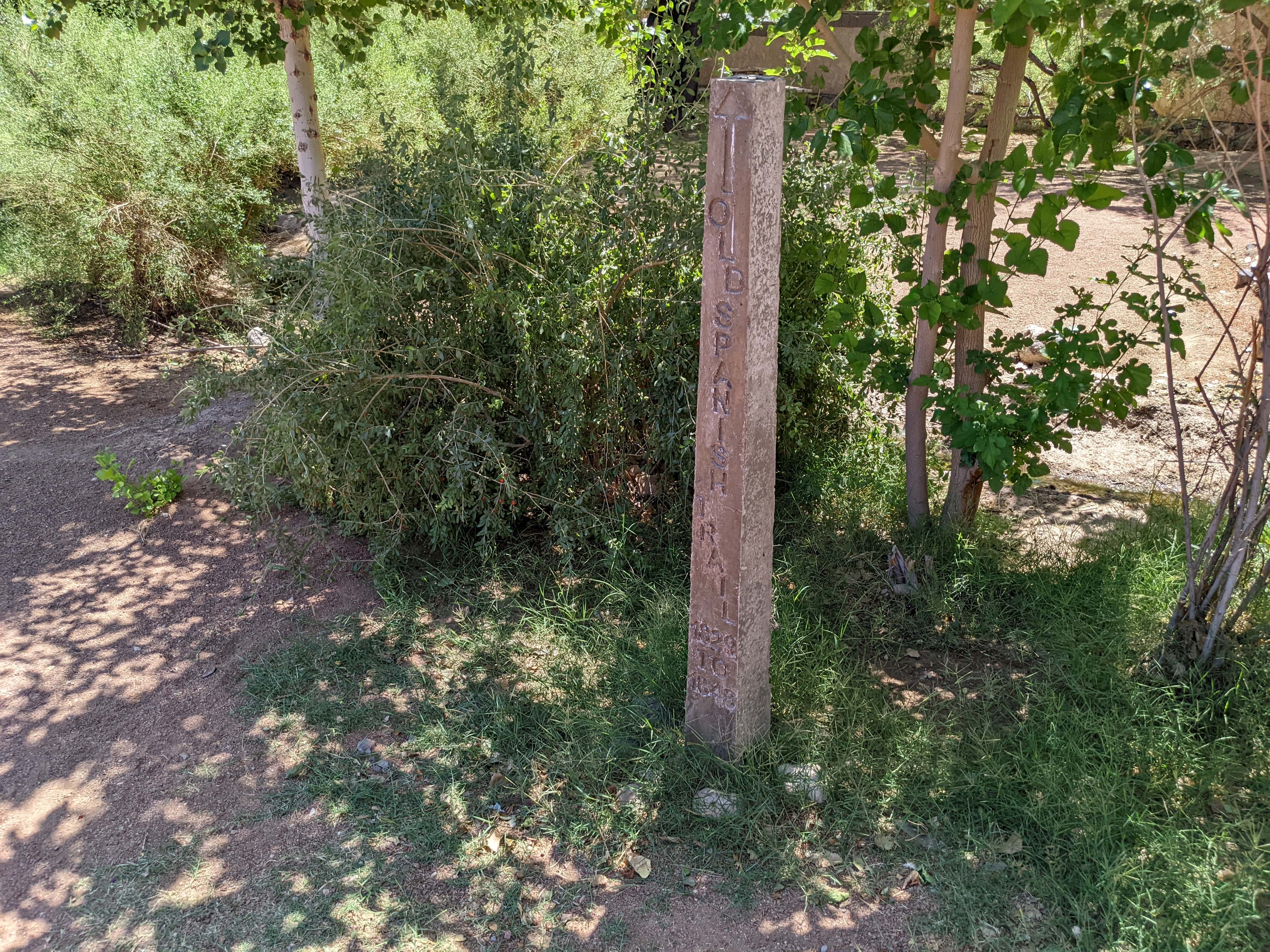
Old Spanish Trail – Mormon Road Historic District
Related:
The Old Spanish Trail – Mormon Road Historic District was added to the National Register of Historic Places (#01000863) on August 22, 2001. The text below is from the national register’s nomination form:
The Old Spanish Trail/Mormon Road property is regionally significant under National Register Criterion A, in the areas of Transportation and Exploration/Settlement. In terms of significance for the State of Nevada, the trail is significant under the Transportation Research Theme, and the Exploration and Settlement Sub-theme; see the Nevada Comprehensive Preservation Plan (White et. al 1991). The Old Spanish Trail/Mormon Road was the first transportation corridor used by Euroamericans across the state of Nevada. Segments of the road which maintain historical integrity and show physical remains of the trail are significant under National Register Criterion D, for historical archaeology. Much of the history of settlement and early travel in southern Nevada can be directly tied to the Spanish Trail and the widespread publication of John C. Fremont’s 1844 route (he was responsible for the term “Spanish Trail”) across the region. The Mormon Battalion traveled over the route from Salt Lake City to San Bernardino and back in 1847-1848. Subsequently thousands of Mormons used the route to travel to the Mormon mission in San Bernardino (established in 1851) and missionary stations in the Pacific. Then in 1855, the Mormon Church in Salt Lake City decided to capitalize on the well-known rest stop of Las Vegas along Fremont’s route, and establish a mission there. Thus, the “Mormon Road” as the trail came to be known, was established in 1847 through the initial expedition over the trail by the Mormon Battalion, and saw continual usage through the abandonment of the Mormon mission at Las Vegas in 1857, and afterward. The Mormon mission at Las Vegas was the first Euroamerican settlement in southern Nevada, thus making it a significant site in the early history of the southern Nevada region. The settlement at Las Vegas would not have materialized without the Old Spanish Trail/Mormon Road corridor adjacent to the natural springs there (listed in the National Register in 1978 as the Las Vegas Springs).
John C. Fremont’s 1844 expedition over the Old Spanish Trail, which resulted in a widely distributed map of the route and much of the Great Basin, is significant. This expedition established Fremont’s reputation as a nationally-known explorer. Because the map was available in 1845, that year was the beginning of steady wagon traffic. Although the route that is being nominated has its roots in a pack trail that traversed the Greater American Southwest nearly 20 years prior to Fremont’s expedition and the establishment of the Mormon Road, wagon traces and associated artifacts from the post-1845 era are what remain of the trail today. Some segments of the property are significant under National Register Criterion D, in the area of historical archaeology, for the potential to yield further information important to the history of the region. Archaeological material such as wagon hardware, animal accoutrements including iron horseshoes, etc., and trash dumps exist along certain segments. The wagon traces themselves exist as linear features cut into the earth by the continual use by wagons, carrying mostly freight.
BACKGROUND
The Spanish Trail was one of the earliest routes between the interior of North American and the California coast to be used by Europeans and Americans (Hague 1978:139). Prior to the arrival of the Spanish colonists and missionaries, the trail was used by the Hopi, Mojave, and Chumash Indians of Santa Barbara, trading items between the Pacific coast and the Four Corners. In particular, the aboriginal knowledge of water sources along these ancient trade routes enabled trapper Jedediah Smith (Warren 1974:48) in 1826 and others to make the journey across the desert Southwest. Without the assistance of Native American guides, many of these first expeditions would not have been successful. Therefore the discovered routes naturally incorporated portions of ancient trade routes.
During the Spanish colonial period (1542-1821) in the American Southwest, the Spanish Empire was competing for control over resources with the British, French, and Russian monarchies. One strategy Spain attempted was to link its northernmost colonies, New Mexico and California, to assert the Spanish presence in the American West. In 1776, missionaries attempted to establish a route between Santa Fe and the mission at Monterey. Fathers Dominguez and Escalante left Santa Fe for the California coast, only to loop back to Santa Fe after meandering over the Colorado Plateau in Colorado and Utah for months. The same year, Father Francisco Garces left the colony at Sonora (now in northern Mexico), to establish a route between Sonora and Los Angeles. He was successful in reaching the pueblo of Los Angeles. However, it was not until Antonio Armijo’s trading expedition in 1829-1830 that the missionaries’ routes were linked to form a passageway across the entire southwestern desert region.
After Mexico won its independence from Spain (1821), Gobernador Chavez of New Mexico envisioned a profitable trade between Santa Fe and California (Lawrence 1931:27). The aim was to bring horses and mules overland from California to sell in the American market (often they were traded to Santa Fe Trail traders to sell back east). Chavez’ idea of a lucrative trade can be seen as a catalyst for the initial use of the Old Spanish Trail.
New Mexican Antonio Armijo is an important personage in the story of the Old Spanish Trail. He and his men constituted the first commercial caravan and the first Europeans to make the entire journey from Santa Fe to Los Angeles (Warren 1974:5). Antonio Armijo was also responsible for tying the Dominguez-Escalante route and Father Garces’ route of 1776 together, forming links of a 1,200-mile route between the two Mexican territories of New Mexico and California. The official report filed by Armijo, printed in the Registro Oficial del Gobierno de Los Estado-Unidos Mexicanos on June 19, 1830, states that the group of about sixty men left Abiquiu, New Mexico on November 8, 1829, arriving at the mission at San Gabriel, California on February 3, 1831.
Armijo’s journey was the first commercial group excursion across the Southwest to the coast, but legitimate commerce in tradeable items was not the sole function of the trail (Warren 1974:86). Slave trading (by Utes and New Mexicans), emigration, horse thieving, and later, mail transport were also served by the route. The trading activities that were the major force behind travel during the early era of transportation on the Old Spanish Trail essentially ended in 1848 (Warren 1974:84) after the signing of the Treaty of Guadalupe Hidalgo, and cessation of Mexican lands.
In the Mojave desert region, American mountain men established their presence early on, between 1826 and 1831 (Casebier 1981:285). Mountain man Jedediah Smith was the first documented American to enter California overland from the east in 1826. He traveled along portions of the later-established Old Spanish Trail, and was also the first to chart a map of the geography of the Rocky Mountains and the Great Basin (Hafen and Hafen 1954:109). Kit Carson also traveled the Old Spanish Trail several times, and may have assisted in leading Fremont’s 1844 expedition along the route.
The mountain men moving through the region along the trail often traveled along the southern route, following the Virgin, Colorado, and Mojave river corridors to capitalize from the nearby water sources as they moved large caravans of pack animals back to the market in Santa Fe. However, several of these men also moved stolen horse herds from the California ranches through the interior Nevada desert in efforts to thwart pursuing authorities. One of these routes, used by “some of the west’s most famous horse thieves, some of whom were also the west’s most famous mountain men,” (Warren 1974:173) was later traced by Fremont and thereafter named the Spanish Trail.
OLD SPANISH TRAIL/MORMON ROAD: 1844-1857
Fremont’s Expedition
Captain John C. Fremont first explored the Great Basin in 1843-1844 for the U.S. Topographic Engineers. This expedition established his reputation as an important American explorer (Elliot 1987:45). Not only was he the first to scientifically map and describe the Great Basin, but a greatly excited Congress printed 20,000 copies of his route map, many more than were usually printed of topographic survey maps (Warren, personal communication 2000). The period of significance for this nomination is 1844-1857, beginning with Fremont’s journey over the route, and ending with the abandonment of the Mormon mission at Las Vegas in 1857.
Fremont chose his guides well for his expedition. He hand-picked such experienced mountain men, scouts, and travelers as Thomas “Broken Hand” Fitzpatrick, Kit Carson, and Alex Goday, a Creole Frenchman from St. Louis who had trapped with many a mountain man, including Carson, Old Bill Williams, Isaac Slover, and others (see Hafen 1965:369; Warren 1974:footnote 78). Kit Carson’s prior experience on the Old Spanish Trail had perhaps enabled Fremont to predict “between us and the Colorado River we were aware that the country was extremely poor in grass, and scarce for water, there being manyjornadas, or long stretches of forty to sixty miles, without water, where the road was marked by bones of animals” (Fremont 1966:259 [1845]). Fremont also alluded to interrogating people on the trail about the route they followed; he notes that he heard several conflicting accounts, naming landmarks that his party never did encounter, indicating that these travelers were using different routes from each other, and ultimately, different routes than the one Fremont used to travel to Salt Lake (Warren 1974:159). This suggests that travelers in the area used various routes to and from California; this nomination considers Fremont’s route.
On April 30, 1844, Fremont and his men entered southern Nevada along the Amargosa route of the Spanish Trail (close to Armijo’s route) and camped at Stump Spring. The expedition continued on to Mountain Springs and Cottonwood Springs in the Spring Mountains. Three days after leaving Stump Spring (May 3rd), Fremont’s groups arrived at the “camping ground” at Las Vegas (Fremont 1966:266 [1845]). Fremont noted the excellent quality of the springs there (“good, clean, deep”) and grazing opportunities. The following day, May 4th, the group began the longjornada de muerte walking for 16 hours across the 55-mile waterless stretch of desert to the Muddy River. Either Fuentes, a hapless traveler encountered near the Nevada border who had lost everything and everyone in his freight party to raiding Native Americans, or Kit Carson, had to inform Fremont of this in advance, for they were the only two who had previously traveled in this region. During the group’s stay at the Muddy, Fremont had several interchanges with Southern Paiutes, some confrontational (Fremont 1966:266 [1845]). They left the Muddy River May 6th, marched 20 miles across the Mormon Mesa to the Virgin River, and followed it to the present Arizona border, camping along its banks over the next three days. In his report to Congress, Fremont notes that the group lost the “caravan road” in the sandy alluvial floodplain of the Virgin River, having to instead follow a Native American foot trail along the river banks; the following day (May 9th) his scouts found “a convenient ford in the river, and discovered the Spanish trail on the other side” (Fremont 1966:268 [1845]). Again, this suggests that Fremont was following a pre-existing trace across the interior of Nevada. Fremont’s expedition left southern Nevada on May 10th, 1844.
Fremont’s 1844 journey along the Old Spanish Trail was the first one during which truly scientific observations where made of the environment and topography; in fact, it was during this expedition that Fremont had the revelation that the interior deserts between the Rockies and the Sierra were part of a large, self-enclosed drainage unit thereafter named the Great Basin (d’Azevedo 1986:1; Warren 1974:156-157). Fremont was also responsible for dubbing his trace across the southern region of the Far West the “Spanish Trail.” Before the distribution of his map, this route had been referred to as “El Camino de California” or “El Camino de Nuevo Mexico” depending on where an individual was based (NPS 2000:5). Because Fremont’s report was widely distributed, his route was the one that became the most popularly used and recognized as the “Spanish Trail.” Today the route is popularly known as the Old Spanish Trail. Further, Fremont’s report greatly enhanced the American public’s understanding of the West, and established the route of the upcoming Mormon Road for wagon freight traffic and emigration between Salt Lake City and Los Angeles (Warren 1974:157).
Distances between camps in southern Nevada, according to Fremont (1966 [1845]).
| Beginning Location | Destination | Mileage |
| Resting Spring, CA | Stump Spring, NV | 24 miles |
| Stump Spring | Mountain Springs | 15 miles |
| Mountain Springs | Cottonwood Springs | 12 miles |
| Cottonwood Springs | Las Vegas | 18 miles |
| Las Vegas | Muddy River “California Crossing” | 57 miles (jornada de muerte) |
| Muddy River | Virgin River | 18 miles |
| 1st Virgin River camp | 2nd Virgin River camp | 28 miles |
| 2nd Virgin River camp | Santa Clara River, Utah | 25 miles |
During the years 1848-1850, the majority of the traffic on the Old Spanish Trail was directly or indirectly related to the Gold Rush to California (Warren 1974:176). The Spanish Trail was used as a winter route to California, as well as a freight road to get provisions from the coast to Salt Lake City, where forty-niners were stocking up on provisions before their journey across the Great American Desert. Again, Fremont’s map was integral to the continued use of this trail his maps were readily available before maps of the more northerly routes across Utah, Nevada, and northern California were available to eastern gold-seekers (Warren 1974:177).
The Mormon Road
No wagons were reported as ever getting through that way, but a trail had been traveled through that barren desert country for perhaps a hundred years and the same could be easily broadened into a wagon road.
– Death Valley forty-niner W. L. Manly, on the rumors of a little-known southern route to California (Koenig 1984:23)
The first Mormon excursion over the Old Spanish Trail included Porter Rockwell and Jefferson Hunt, who marched with the Mormon Battalion to San Diego in the fall of 1847. It took less than three months for the group and 135 horses and mules, along with a single wagon, to return to Salt Lake City from San Bernardino.
The Old Spanish Trail was desirable as an alternate route to the northern Emigrant Trail, made infamous by the Donner Party. The Old Spanish Trail was used by emigrants traveling in the winter months, when the Sierra Nevada was virtually impassable. In the fall of 1848, just months after the Battalion successfully brought a wagon along the route, forty-eight wagons traveled on the road, and one year later, over two hundred made it over the trail to California. Mormon leadership viewed the route as a freight corridor, within which people and supplies could move between Los Angeles and Salt Lake City. The Lower Colorado region in extreme southern Nevada also held potential for permanent settlement.
For the Mormons and others, this region generally held interest for several reasons: the potential navigation of the Colorado, the mild climate and irrigable lands, the minerals ranging in value from silver to salt, and its proximity to a year-round route between California and Utah. Mormons looked to this region for a seaport, as a freight and emigrant route, and for missions and settlements as part of their quest for political self-determination, isolation and protection, and economic independence and survival. –Smith 1978:29
As early as 1850, Mormon leaders were eyeing San Bernardino as a possible mission, at a time when Angelenos were ready for anyone to establish an “outpost” on the fringes of their large center, in hopes of curtailing the frequent raids by thieves (Gough 1999:24). The main route to this burgeoning Mormon center became known as the “Mormon Corridor,” or the “Mormon Road.”
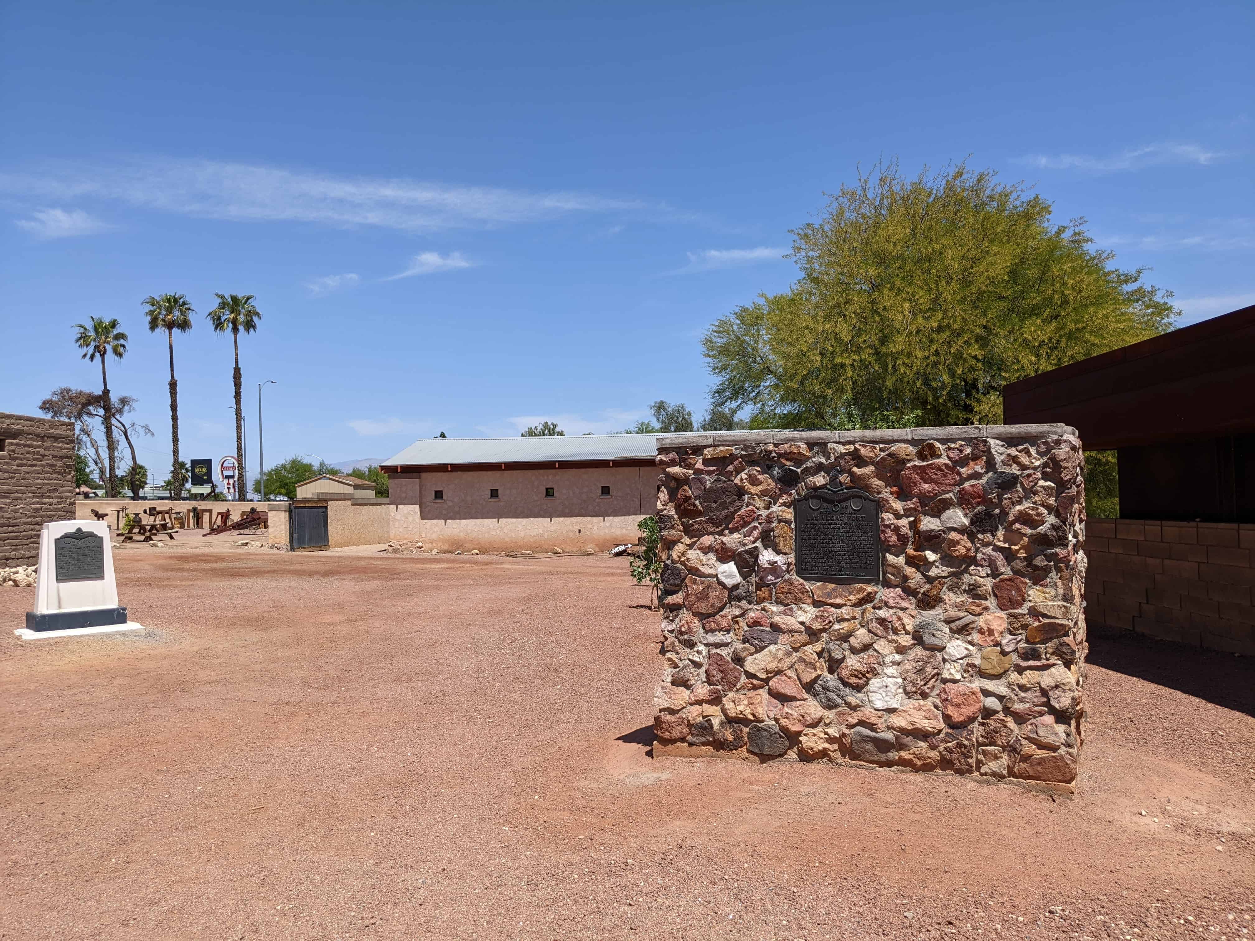
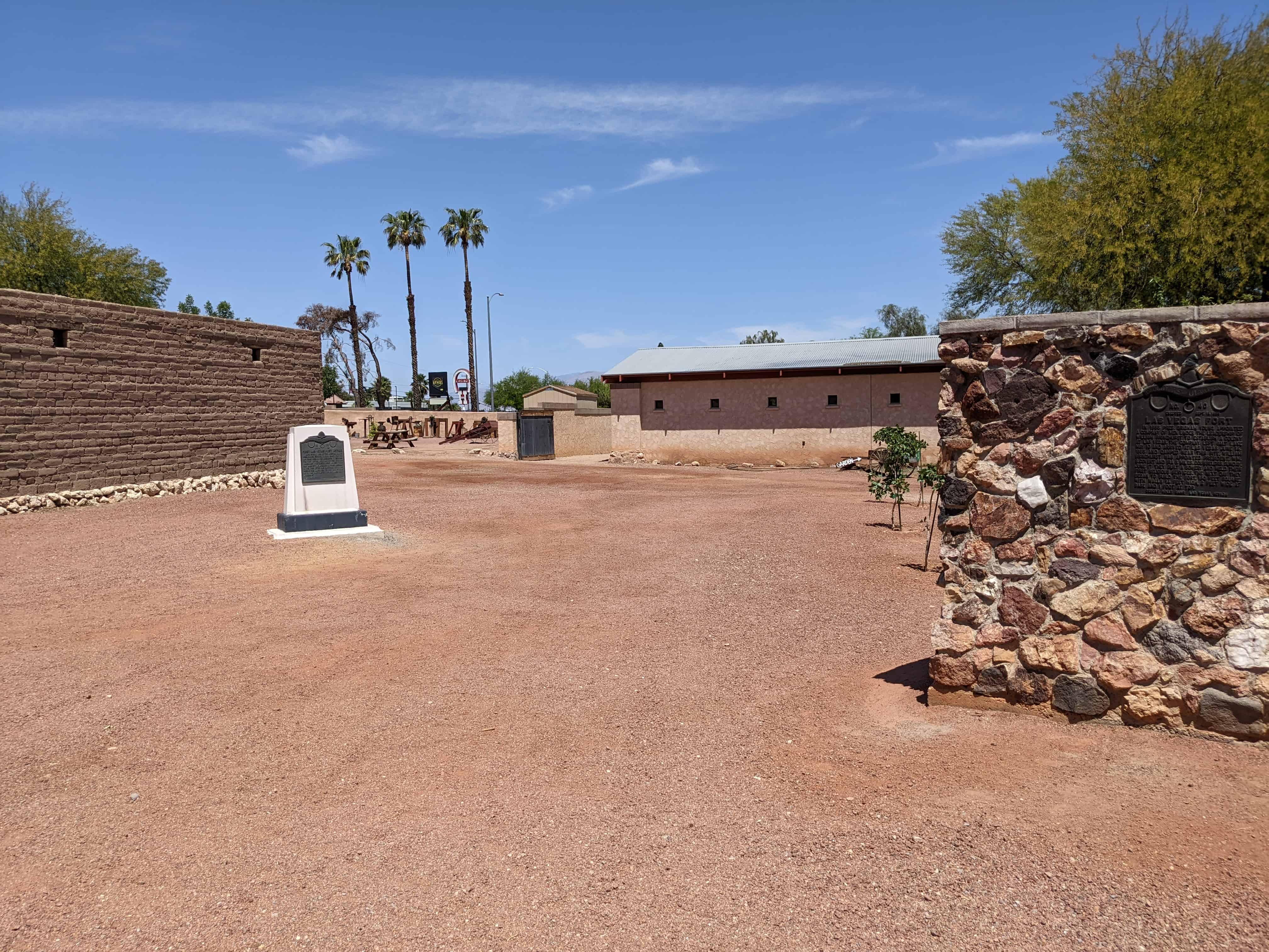
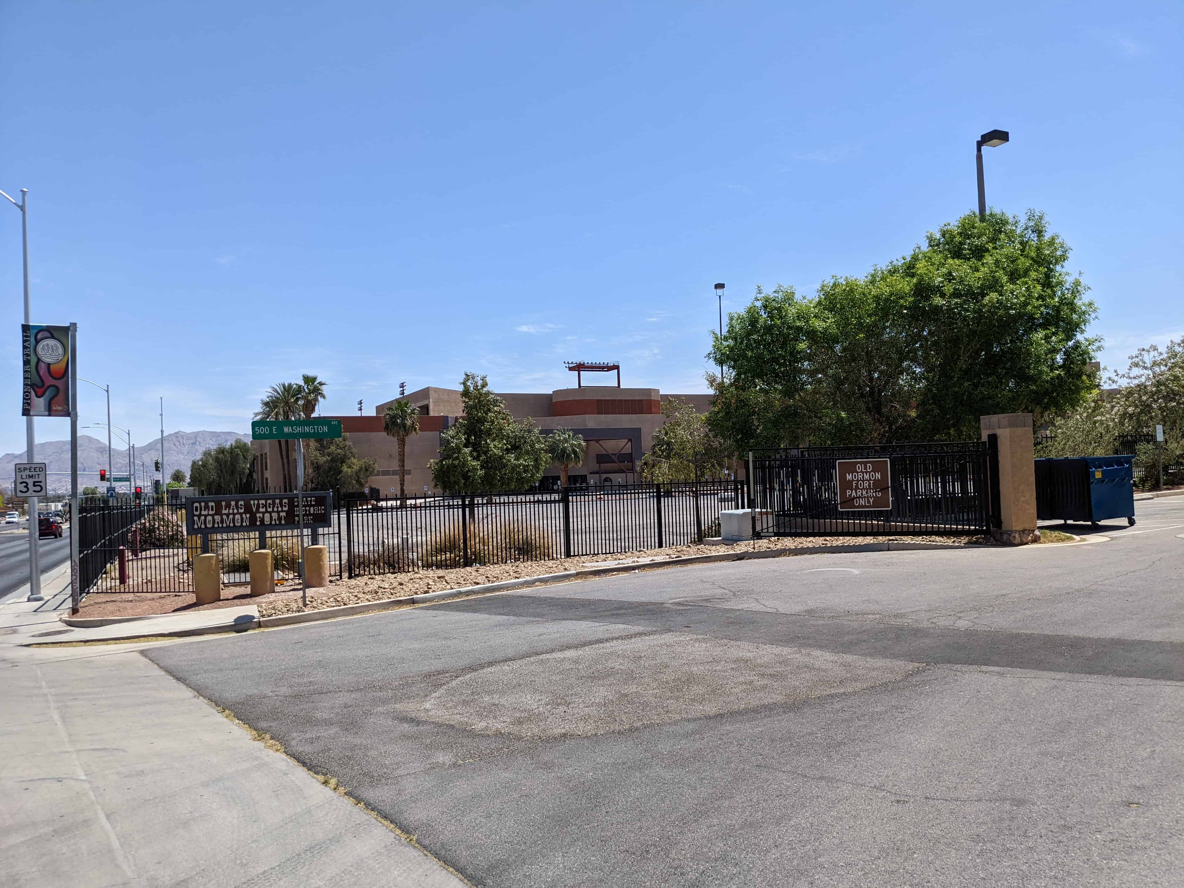
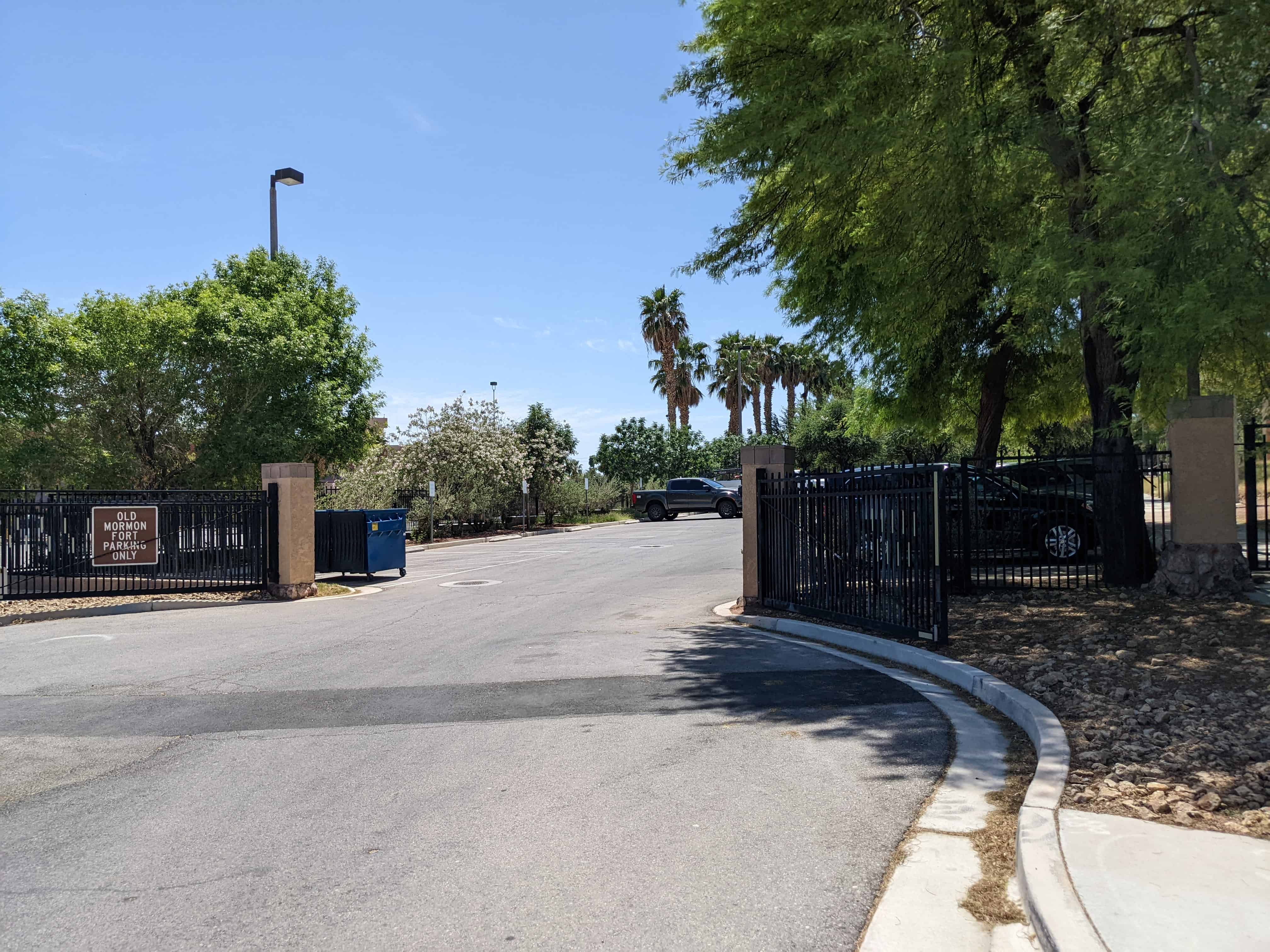
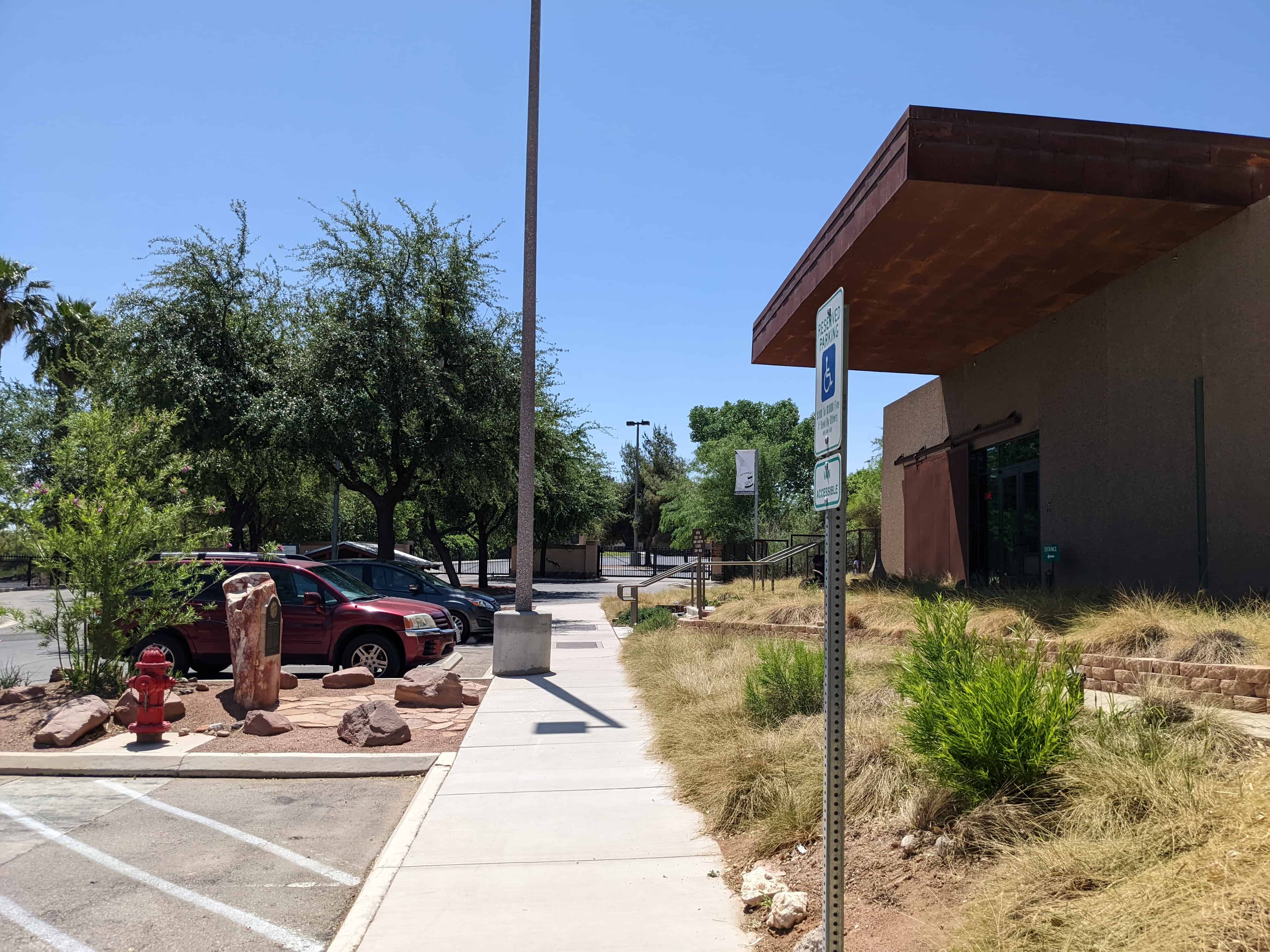
The springs at Las Vegas were a well-known resource to anyone who traveled the route, as the oasis provided some of the best water along the long, dry route. In 1851, a Mormon named Mr. Chorpening received a contract with the U.S. government to transport U.S. mail between northern Utah and San Bernardino. Mail carriers stopped at the springs on their route. At the Las Vegas Springs, archaeological investigations show a small adobe structure that may have been built by Chorpening, although that fact has not been determined definitively.
Noting the significance of this transportation corridor, the U.S. Congress approved $25,000 in 1854 to be spent on developing a military road from Salt Lake City to eastern California. This road utilized the Old Spanish Trail/Mormon Road route, with minor modifications. This marked the beginning of major freight traffic between Los Angeles and Salt Lake City.
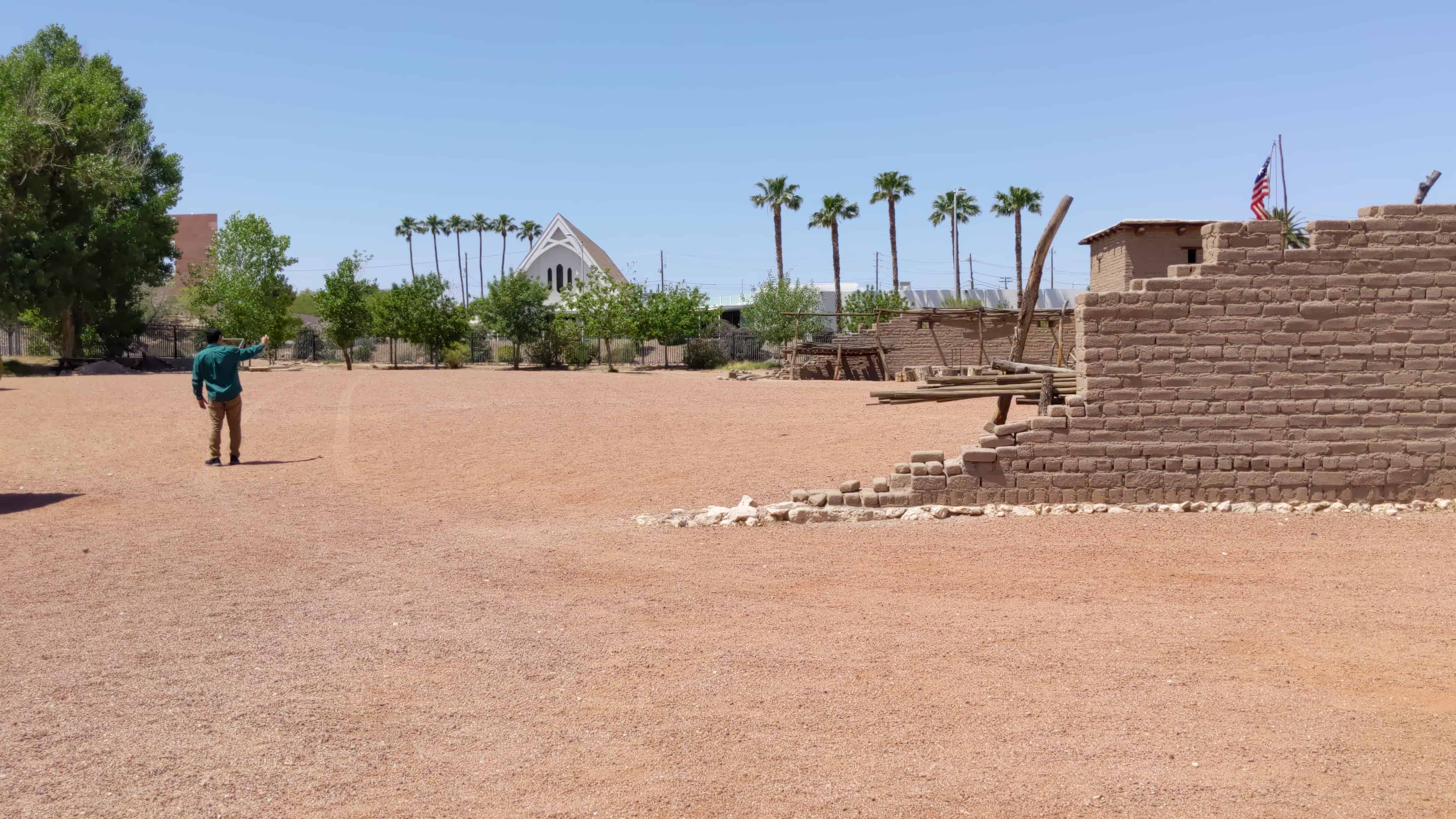
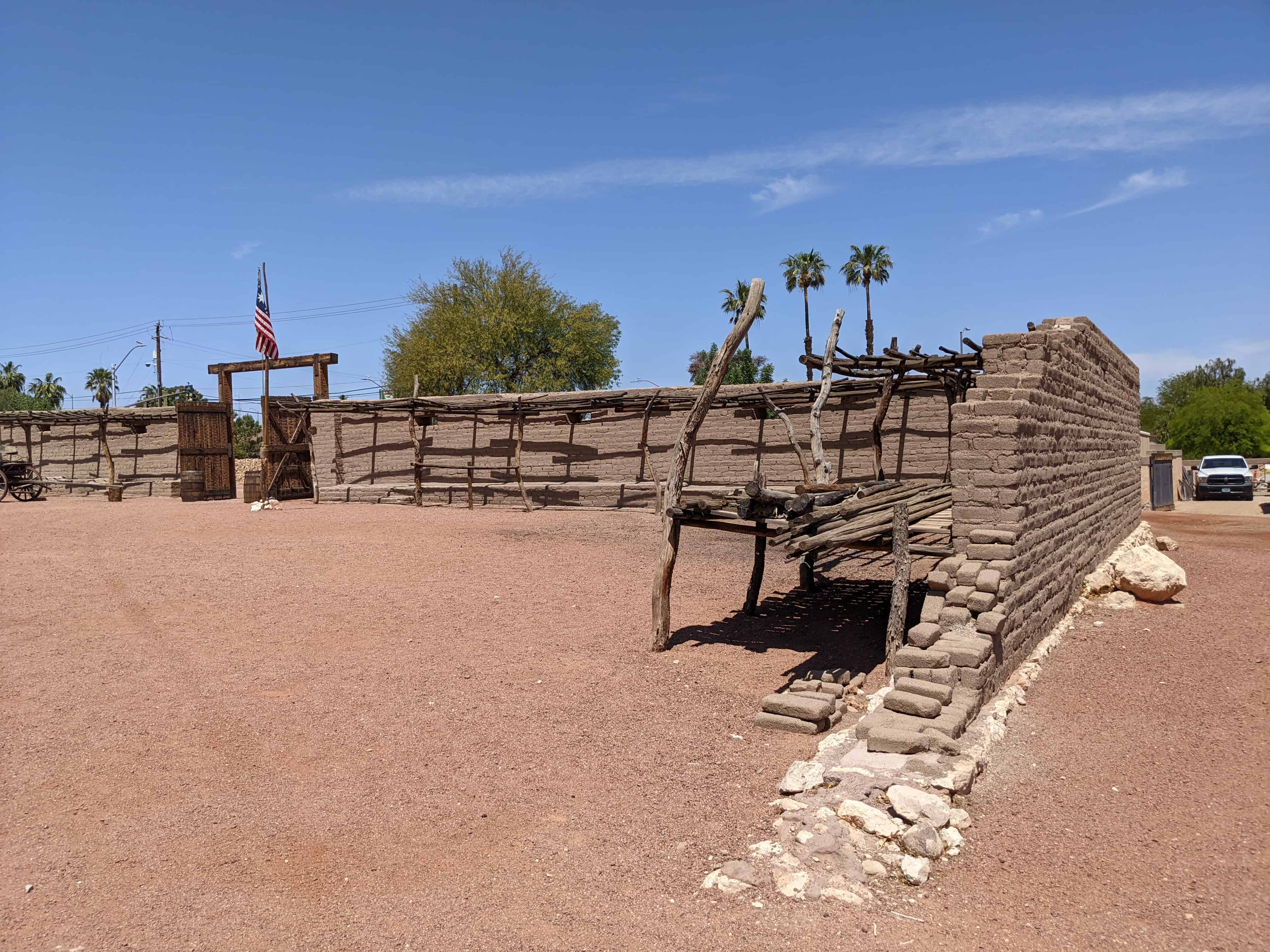
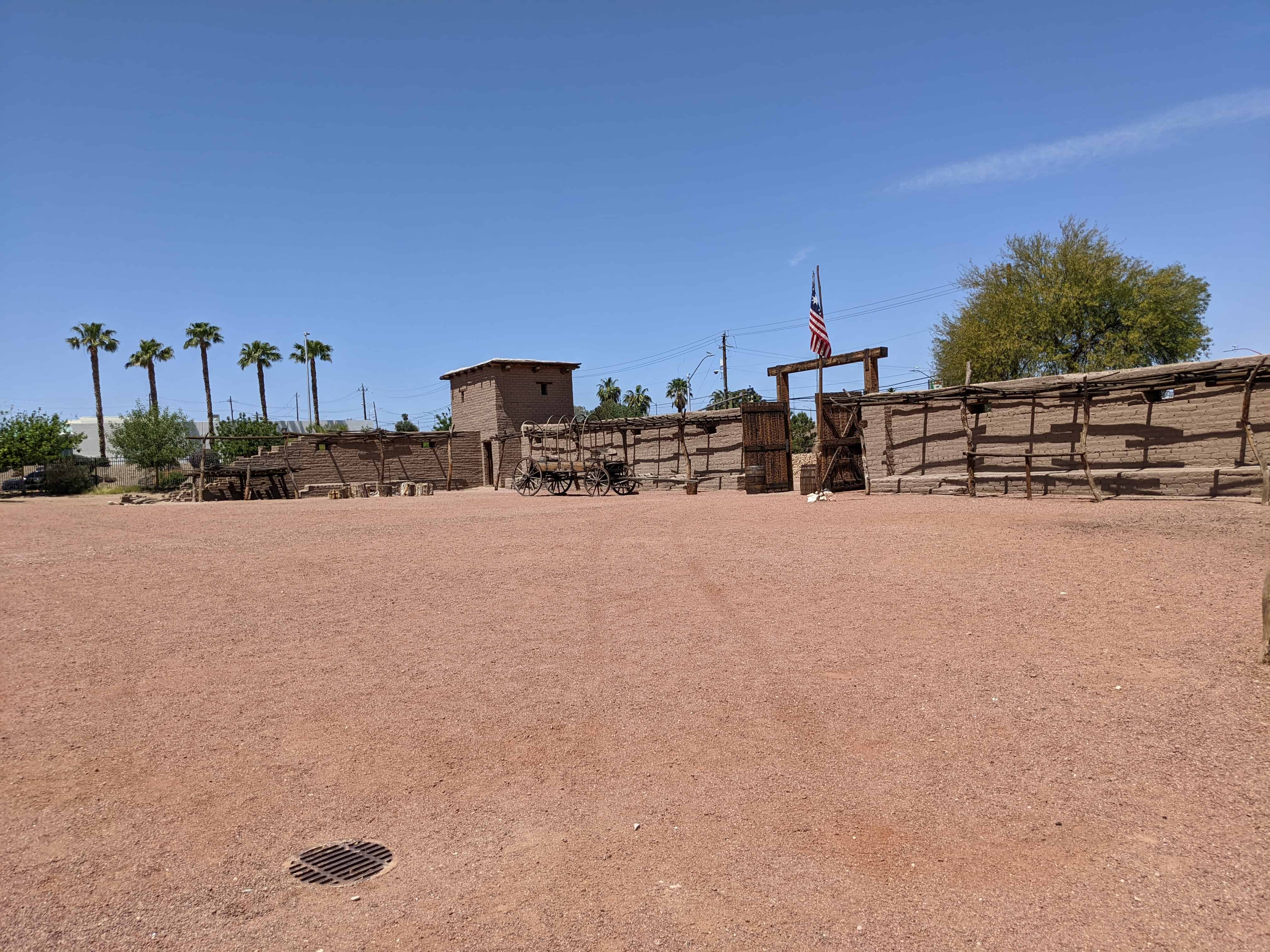
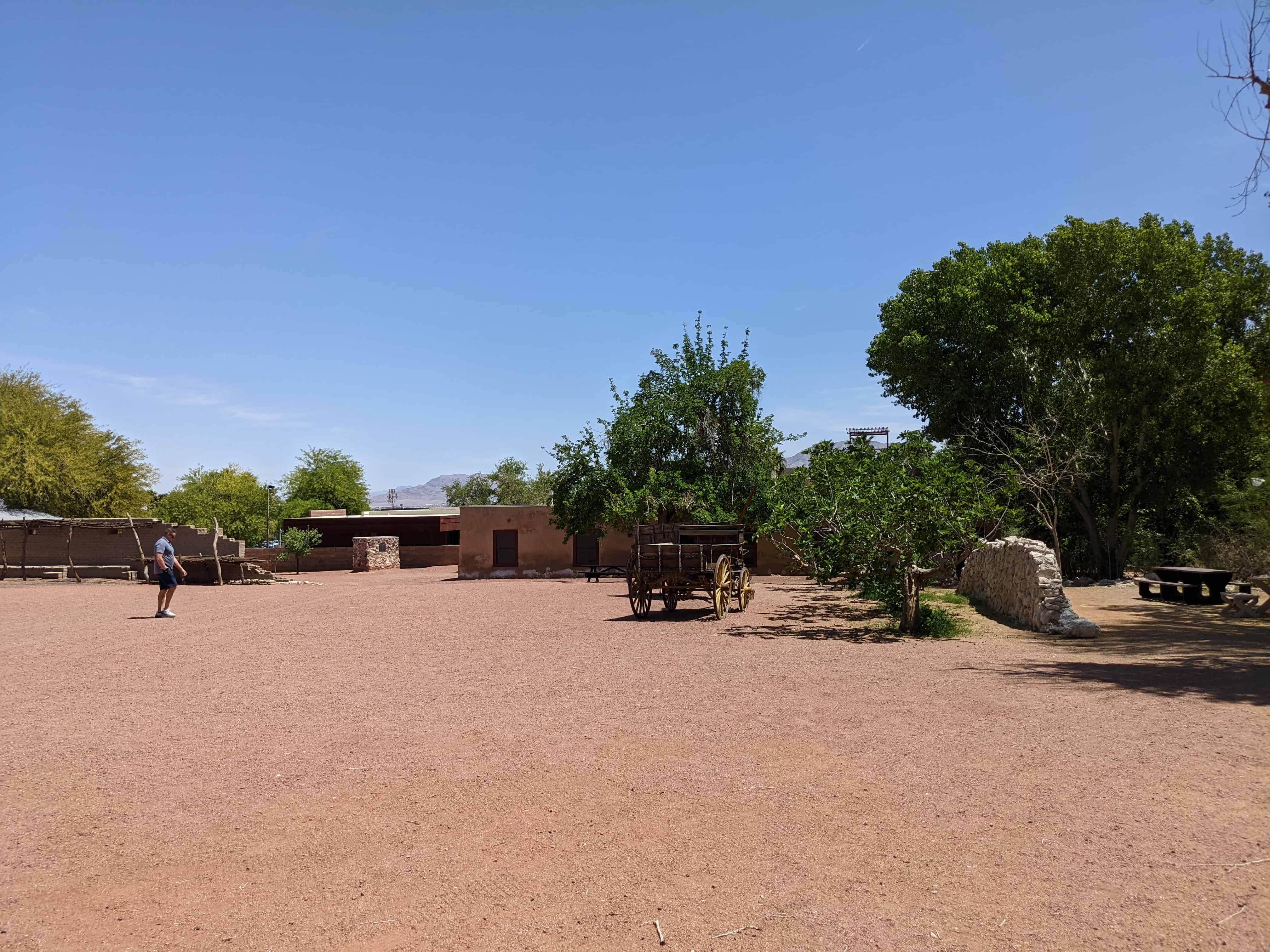
In 1855, Deseret’s (the name of the U.S. provisional state organized by Mormons in 1849) President Brigham Young announced that the Southern Indian Mission would be expanded, and William Bringhurst and others were sent to establish a post at “Vegas Springs.” They chose this location because Mormon leadership felt they could capitalize from travelers stopping at the springs as a resting area and water hole, in addition to the relatively large Native American population in place for religious conversion. On June 14, the brethren arrived at Las Vegas (Jensen 1926:131). Within four days of their arrival (after walking some 440-plus miles across desert terrain), the brothers were surveying for the location of their fort, laying out agricultural plots (2.5 acres each) and garden plots (0.25 acres each) designated for each member of the mission, planting seeds, and creating a “water sect” of men overseeing water control and usage, while five missionaries departed for the Colorado River to explore possibilities for navigation and to meet the Native American groups in the area (Jensen 1926:134).
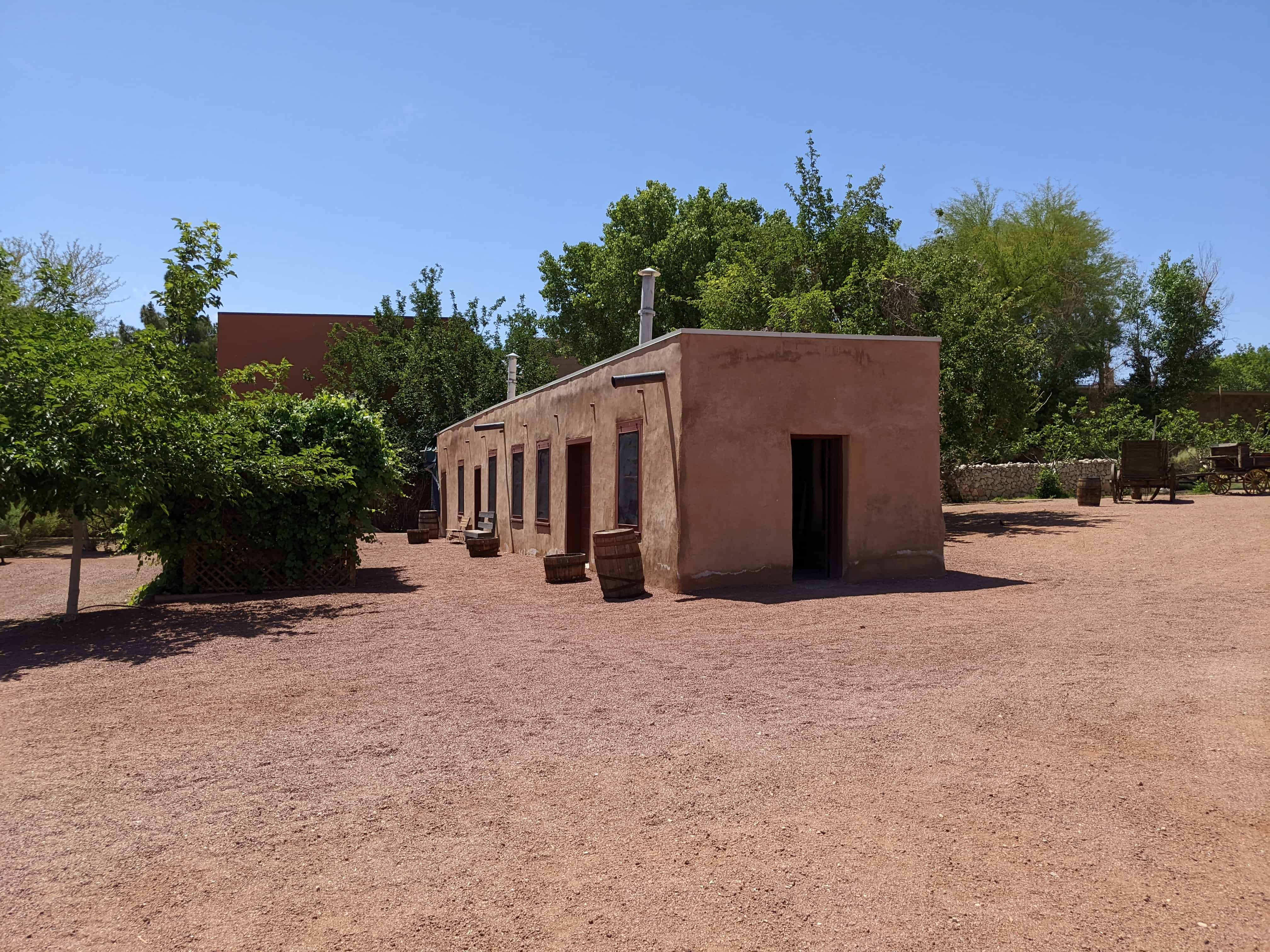
The organized settlement at Las Vegas must have been a welcome sight for weary Euroamerican travelers on the Old Spanish Trail/Mormon Road. Not only did the mission provide some protection from hostile Native Americans, but the brethren would offer fields for grazing and provisions, in addition to horse-shoeing services (Jensen 1926:218). Many of these necessities cost money, and if the emigres’ animals got into the gardens at night, the travelers would be charged accordingly.
Many missionaries on their way to missions or returning homeward passed through Las Vegas during the occupation of the mission there. A group of missionaries from Pacific Islands, a single missionary from the Siam mission, many from the California missions (including the President of the San Bernardino mission, Amasa Lyman), a group of missionaries from Australia, and two groups of missionaries returning from mission in the Sandwich (Hawaiian) Islands were all documented as visiting the Las Vegas mission. Other noteworthy travelers documented as staying over at the mission included a herd of 500 cattle on its way to California, two scientists, one Englishman and a Frenchman (during their journey through the desert region, collecting plant and mineral specimens), and three “circus or showmen” (Jensen 1926). There were many other travelers through the area. An estimation of total visitors documented at the mission during the 21-month Mormon occupation shows 260- 350 Native American visitors and 350-800 (conservatively) Euroamerican visitors. Out of the Euroamerican visitors, roughly a third (33-38%) of those were traveling east from California (most of these were Mormons returning to Utah). Thus, roughly 2/3 of the travelers that rested at the Las Vegas mission were making their way to California.
Timidness and fear in the local Paiute bands caused by years of slave-capture and animosity by travelers emigrating through the area on the Old Spanish Trail are noted by brother John Steele in a letter to Elder George A. Smith. Steele writes, “There is a first-rate spirit among the Lamanites [Native Americans]… some of them have come into camp rather suspiciously, as they have been shot at and drove away from camps of the passing emigrants who have been on the road for years; they will show us the bullet holes and marks they have received from white men and tell us they will try and forget it, although their brothers have been killed, etc.” This passage is telling in a few respects. First, it shows a willingness on the part of the Paiutes in the area to forge friendly relations with the resident Mormons, possibly driven by a perception on the Paiutes’ behalf that the Mormons may protect them from further violence at the hands of other Euroamericans (see Kelly and Fowler 1986:386- 387; Van Hoak 1998:18). This also shows compassion in the brethren at Las Vegas toward the Paiutes, a sentiment that was not shared by many contemporary Americans. Indeed, as late as 1855, the missionaries noted some uneasiness in the Paiutes due to accounts of slave capture of some Moapa Paiutes on the Muddy River “to sell to Mexican traders” (Jensen 1926:183). There was some interest expressed by the Moapa band to have missionaries come to their territory to settle because of the threat of raids on their women by Ute slavers; in September, 1856, some missionaries traveled to the Muddy River area to explore possible locations for settlements. The Las Vegas band told the Mormon brothers that they already lost many of their women to slavers, perhaps too many, “or they would have provided some of us with wives…” (Jensen 1926:188).
A steady stream of emigrants, mail carriers, wagon freight trains, and miners continued to use the springs and travel on the wagon road after the complete abandonment of the Mormon mission in 1857. In 1865, O. D. Gass and two partners re-settled the mission. They rebuilt the dilapidated mission buildings to use for a ranch, and plowed fields (Paher 1971:37).
The Mormon occupation of the region surrounding the Colorado River indirectly affected the U.S. involvement in exploring and settling the area. Reports of ambitious Mormons settling along the Colorado River and their interest in navigating the large river to the Gulf of California, led to increased federal activity toward the same goal. Thus the Army assigned a survey of the river to be completed in 1856 under the command of Lt. Joseph C. Ives (Smith 1978:33). But the impendent arrival of Johnston’s Army and the Mountain Meadows Massacre in 1857 forced Mormon leadership to direct their priorities in the region differently. Thus, the Southern Indian missionaries were reassigned this time to protect Mormon wagon trains along the Mormon Road from Indian “harassments,” and eventually were recalled to Salt Lake City.
Other national events that affected the traffic along the Mormon Road in the mid-1860s were the Civil War and Indian attacks on travelers on the eastern freight and emigration routes leading into Utah (Smith 1978:34), instilling fear and hesitation in prospective travelers. Therefore, most emigrants used the heavily traveled northern routes as a measure of security when traveling west from Salt Lake City.
Due to such forces as the Civil War, an increase in agitation on the part of the region’s Native American groups, and a recall of missionaries stationed at Las Vegas less than two years after initiating the mission project, the development of a Mormon-controlled freight moving operation never got off the ground (Smith 1978:40). However, the inland corridor left its lasting mark on the region, especially as a driving force behind the eventual settlement of Las Vegas.
Settlement of Las Vegas
By the time Mexican traders entered the Las Vegas Valley during the first part of the nineteenth century, the region had for over 600 years been the home of the Southern Paiute Indians, and various archaeological studies detail an extended trail traveling southwest through the region to the Pacific coast. -Gough 1999:21
There is a connection between the Old Spanish Trail and urban developments in its vicinity. Early settlements in the East were almost invariably along water courses, to facilitate the gathering of necessary resources as well as communication and transportation. In a similar fashion, the Old Spanish Trail/Mormon Road served the same purpose: “it facilitated town growth.” As Gough (1999:22) writes:
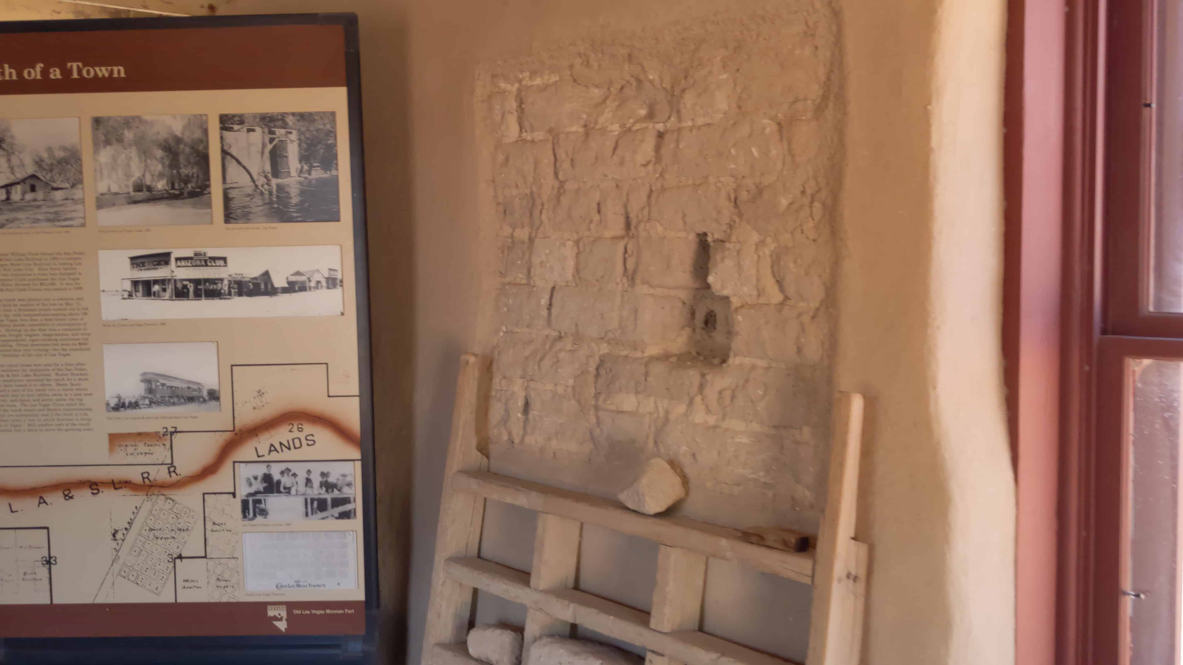
The development of the neon metropolis of Las Vegas during the twentieth century unquestionably finds its origin as an early stopping area along the Spanish Trail. Rails and highways eventually traced the Trail, and the first survey of Las Vegas was laid out precisely along the route. Though the Spanish Trail was originally but one of several paths through the region, its eventual recognition as the primary course directly influenced both the location and growth of Nevada’s largest city. Modern-day visitors to and from Las Vegas still follow much the same route as Charles [sic] Fremont’s eventual course through this once inhospitable desert region.
As traffic needs in and out of southern California grew with the advent of automobiles, the second decade of the twentieth century saw the development of the Arrowhead Trails Highway. The automobile route was generally aligned along the Spanish Trail/Mormon Road. This, and the construction of the San Pedro, Los Angeles and Salt Lake railroad line across southern Nevada in 1905 contributed to the demise of the Old Spanish Trail/Mormon Road as a regional transportation route (Myhrer et al. 1990:13). Local use of the route continued through the 1940s. Today, modern travelers arriving in Las Vegas from the west and east on Interstate 15 follow Fremont’s basic route to the former location of one of the best springs in the region.
ARCHAEOLOGY
This section discusses the archaeological and trail remains as they pertain to significance under Criterion D. At least two previous archaeological surveys have documented portions of the Old Spanish Trail/Mormon Road in Nevada. In 1987-1989, Keith Myhrer and Stanton Rolf, BLM archaeologists, surveyed the portion of the road between the outer limits of urban development in Las Vegas to the Nevada-California border. This segment is 48.3 miles long. Portions of this section of the trail were reevaluated during this project to ascertain whether sections that were determined eligible (see Myhrer et al. 1990) for inclusion to the National Register of Historic Places (NRHP) still maintained historical integrity. The relatively-undisturbed portions included a 4.1-mile segment and a 5.7-mile segment, both determined eligible to the NRHP. The results of the reevaluation are provided below. In 1993, archaeologists from the Harry Reid Center for Environmental Studies, University of Nevada Las Vegas, documented a 1.5-mile section of the Old Spanish Trail/Mormon Road on the western edge of Mormon Mesa; they recommended that the eastern 1-mile portion of this segment, in Sections 22 and 27, T 14S, R 67E (Overton NW, NV 7.5 Minute USGS quadrangle) was relatively undisturbed and eligible for inclusion to the NRHP. Other surveys were completed for the Apex Industrial Park and the Chemical Lime Apex Mine Land Sale that documented Fremont’s route of the Old Spanish Trail/Mormon Road on the northwestern boundary of Las Vegas’ urban development; however those segments lacked historical integrity and were not recommended as eligible to the NRHP.
Description of Wagon Traces
Wagon traces, the most common feature along the road route, are typically in the form of parallel wagon tracks aligned side by side. These parallel traces, or in places, ruts, are generally in a narrower alignment than if created by automobile traffic.
Historic Artifact Concentrations: roadside camps, trash dumps, “pitch zone”
Roadside camps, trash dumps and the “pitch zone” are artifactual manifestations of historic travelers on the Old Spanish Trail/Mormon Road. These are features of the overall site; without the historic travel corridor these accompanying features would not exist. Small roadside camps and trash dumps are types of artifact concentrations that are self-explanatory; the “pitch zone” refers to the linear areas alongside either edge of the travel corridor (as denoted by wagon traces) where travelers tossed extraneous items from the wagon in efforts to lighten the wagon load, or discard broken or spent items.
Research Methods
In December, 2000, a field survey was conducted in cooperation with the Bureau of Land Management, Las Vegas District Office, and the Nevada State Historic Preservation Office. The study was undertaken in order to research, evaluate and survey for sites along and relatively undisturbed portions of the transportation route identified by John C. Fremont in 1844, referred to in this document as the Old Spanish Trail/Mormon Road. The resource is regarded by historians as the most important transportation route in southern Nevada to move travelers and supplies between Salt Lake City and Los Angeles between 1844 and 1905 (the date of arrival of the railroad to southern Nevada).
The pedestrian survey involved Nevada State Historic Preservation Office archaeologist Terri McBride and 1-5 volunteers, walking zig-zag or parallel transects along the historic road bed, covering a 50-foot corridor centered on the center of the road. The records search included a site file search at the Harry Reid Center for Environmental Studies at the University of Nevada Las Vegas Campus, archival research at the Nevada Historical Society and the Nevada State Archives and Library, and the Bureau of Land Management (BLM) Nevada State Office in Reno. Copies of Fremont’s map that accompanied his 1845 report to Congress and Lt. George M. Wheeler’s 1869 map produced for the U.S. Army Corps of Engineers were located at the Nevada Historical Society (copies attached). A review of the 1881 Government Land Office Survey plats at the BLM State Office that pertained to the Mormon Mesa area of the survey revealed that the surveyors plotted a road labeled “Old Mormon Wagon Road” nearly 2.5 miles south of the actual location of the wagon road trace; in addition, the topographic features on the map do not correspond with the natural topography of the plat (T 14S, R 68E, Mount Diablo Meridian). BLM staff (Dave Morland, personal communication 2000) provided information regarding “fictitious surveys,” an unfortunate result of surveyors in remote areas being paid for every mile of drafted survey maps.