• About JacobBarlow.com
  • Cemeteries in Utah
  • D.U.P. Markers
  • Doors
  • Exploring Utah Email List
  • Geocaching
  • Historic Marker Map
  • Links
  • Movie/TV Show Filming Locations
  • Oldest in Utah
  • Other Travels
  • Photos Then and Now
  • S.U.P. Markers
  • U.P.T.L.A. Markers
  • Utah Cities and Places.
  • Utah Homes for Sale
  • Utah Treasure Hunt

JacobBarlow.com

~ Exploring with Jacob Barlow

JacobBarlow.com

Tag Archives: Geology

Wetumpka Impact Crater

11 Sunday Sep 2016

Posted by Jacob Barlow in Uncategorized

≈ 1 Comment

Tags

Alabama, Craters, Elmore County, Geologic, Geological, Geology, Wetumpka

8f41f627-cc65-43dc-8fa0-aa2400ec2287
N 32.53417 W 86.20367

Wetumpka Impact Crater

The ridges located here are the remnants of a six-mile diameter circular feature created some 85 million years ago by an estimated 1,000-foot diameter asteroid. The area at the time of impact was a shallow sea. The ridges consist of a variety of metamorphic rocks and surround a central area comprised of large jumbled blocks of younger geologic strata. Drilling in the central area of the crater recovered fragments of rocks showing characteristic mineral alteration only associated with impact structures. The structure, although known for more than a century, was first identified as an impact crater in the 1970s.

bdca5504-959d-4087-ad79-c14e8458e6d9

Remnants of an Ancient Sea

17 Sunday Jan 2016

Posted by Jacob Barlow in Uncategorized

≈ Leave a comment

Tags

Big Cottonwood Canyon, Geology, Salt Lake County, utah

Remnants of an Ancient Sea

700 Million years ago these blue to purple shales were deposited as silt and mud in shallow waters near the shore of an ancient sea.

Notice the pattern of mud cracks preserved on the purple rock.

After the layers were built up and compacted, they were tilted, and in time elevated to their present position by movement along the Wasatch fault.

Related Posts:

  • Big Cottonwood Canyon

Storm Mountain Quartzites

17 Sunday Jan 2016

Posted by Jacob Barlow in Uncategorized

≈ Leave a comment

Tags

Big Cottonwood Canyon, Geology, Salt Lake County

To your left are layers of rock that have been folded and steeply tilted.

The light colored strata were deposited as sand and the dark as mud buried for eons of time the layers were subjected to heat pressure and earth movements which converted them to quartzites and shakes.

On the face of Storm Mountain 2000 feet above your right shoulder you see sparse vegetation die to resistance of the quartzites to weathering.

20140802_162638

CopyofDSC01002


Slip & Slide

17 Tuesday Nov 2015

Posted by Jacob Barlow in Uncategorized

≈ 1 Comment

Tags

Geology, Provo Canyon, utah, utah county

3cac670d-7cdc-4100-9301-968f2b334a18
e6af762c-99e3-474f-bf87-cb9cf33fb654


Slip & Slide – Landslides

Over the years, the slide area above you has been very problematic, in 1986, a landslide moved the pipeline.  The slide eventually covered and crushed the pipeline.

Because of the active nature of the slide, the pipeline was eventually moved from the hillside, and the water now flows through a tunnel undernearh the active landslide.

Crystal Geyser

17 Friday Apr 2015

Posted by Jacob Barlow in Uncategorized

≈ 1 Comment

Tags

Geology, Geysers, Grand County, Green River, utah

  • picture12aug08-090

From Wikipedia:
Crystal Geyser is located on the east bank of the Green River approximately 4.5 miles downstream from Green River, Utah. It is a rare example of a cold water carbon dioxide driven geyser; geothermal activity does not play a role in the activity of the geyser. The ground water near the geyser has significant quantities of dissolved carbon dioxide, along with substantial underground gas accumulations in the surrounding area. Saturation of the aquifer with CO2 creates enough pressure to force groundwater through the geyser and out on to the surface.

The geyser erupts sometimes to a height of 40 meters or more. During 2005, a study of the timing of the eruptions found them to be bimodal. About 66% of eruptions in the study occurred about 8 hours after the previous eruption, and the rest about 22 hours after. The geyser erupts for an average of one hundred minutes a day, with eruptions either lasting 7–32 minutes, or 98–113 minutes. The bimodal distribution of eruptions is not a well-understood pattern, but is found in other geysers, both cold-water and otherwise.

Between eruption events, the water level is approximately seventeen feet below the surface of the geyser—at the level of the water table. In the preface to an eruption, water surfaces, fills the pond around the geyser, and begins to bubble. Bubbling events occur with increasing frequency in the time leading up to an eruption, but are not constant; bubbling events last for a few minutes, with a few minutes of calm in between. Bubbling events at the main geyser also frequently alternate with bubbling events at natural side-pools.

The current form of the geyser was created by an exploration well drilled in 1935 in attempt to locate oil. The well was originally 800 metres deep, but an earlier owner of the land partially filled it in, meaning that the well is now only a couple hundred metres deep.

The area surrounding the modern geyser is covered in a thick layer of orange travertine. Near the river, adjacent to the modern orange travertine, are substantial deposits of white travertine, perhaps reflecting the original depositional environment of the geyser (before the exploratory well was drilled.)

The first written record of Crystal Geyser comes from the report of the Powell Geographic Expedition of 1869, July 13, 1869.

  • This photo is not mine, I got it from http://en.wikipedia.org/wiki/Crystal_Geyser
    This photo is not mine, I got it from http://en.wikipedia.org/wiki/Crystal_Geyser

Little Cottonwood Rocks

23 Tuesday Dec 2014

Posted by Jacob Barlow in Uncategorized

≈ 2 Comments

Tags

Big Cottonwood Canyon, Cottonwood Heights, Geology, Holladay, Little Cottonwood Canyon, Murray, Salt Lake City, Salt Lake County, Sandy

See Also: G.K. Gilbert Geologic View Park

Little Cottonwood Rocks
Geology and History of Little Cottonwood Canyon.

Little Cottonwood Bedrock

Three Bedrock units are visible on the north side of, and in Little Cottonwood Canyon :

  • Little Willow Formation

Little Willow Formation

Little Willow Formation

The little willow formation is approximately 1.7 billion years old, making it the oldest rock in the Salt Lake City area. The highly metamorphosed rock consists primarily of intensely contorted quartz schist and gneiss intruded by igneous rocks that have been altered to amphibolite and chlorite schist.

Big Cottonwood Formation

Big Cottonwood Formation

Big Cottonwood Formation

One billion to 850 million years old, the Big Cottonwood Formation is a low-grade metamorphic rock that consists of reddish-brown quartzite and black to purple to green shale, argilite, and slate. Originally deposited along the shoreline of an ancient sea, ripple marks and mud cracks are still preserved in this rock.

The rock on the north canyon wall is easy to distinguish from the adjacent light gray “granite” father up the canyon.

Little Cottonwood Stock

Little Cottonwood Stock

Little Cottonwood Stock

This igneous rock is quartz monzonite, or more generally called granite. Between 32 and 31 million years ago, magma pushed up through the crust into overlying rock layers and then cooled and solidified before reaching the surface. Quartz monzonite is composed of plagioclase, quartz, orthoclase, biotite, and hornblende.

Popular for rock climbing, this light grey granite rock makes up most of the canyon walls.

A history of the rocks in this area :

4
5
6
7

Underground Fires

11 Thursday Dec 2014

Posted by Jacob Barlow in Uncategorized

≈ Leave a comment

Tags

Colorado, Geology

0d3035aa-8d49-4fa9-ac05-d446b8906e24

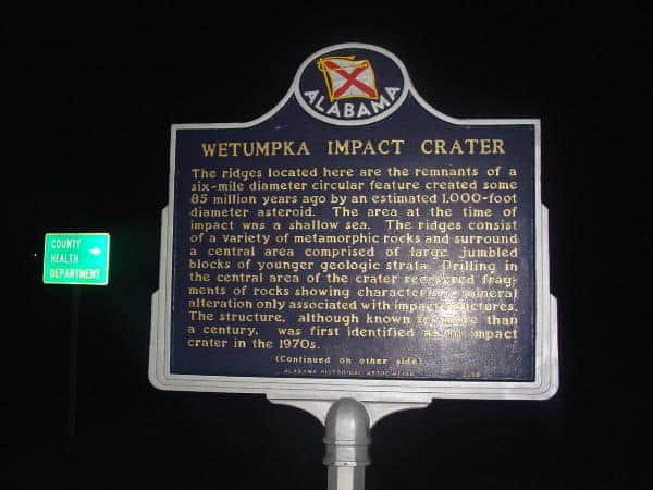
Underground fires? I didn’t think it was possible, but I as earthcaches are supposed to help us do, I learned a lot about it after visiting this site.

A coal seam fire or mine fire is the underground smoldering of a coal deposit, often a coal mine. Such fires have economic, social and ecological impact.

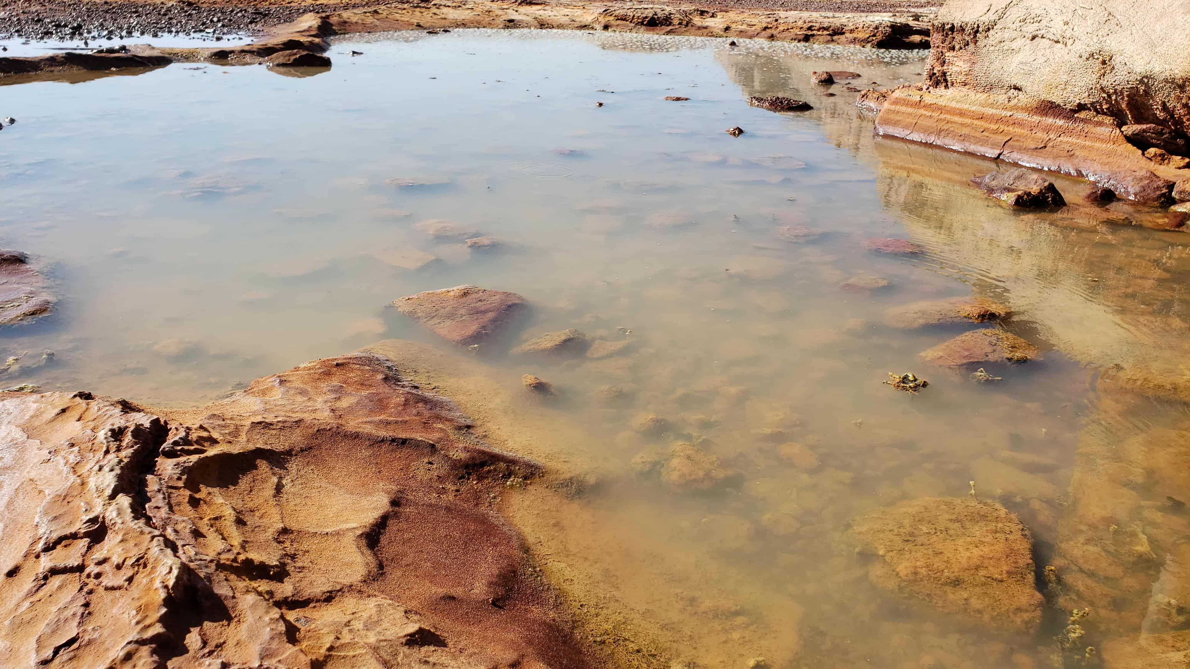
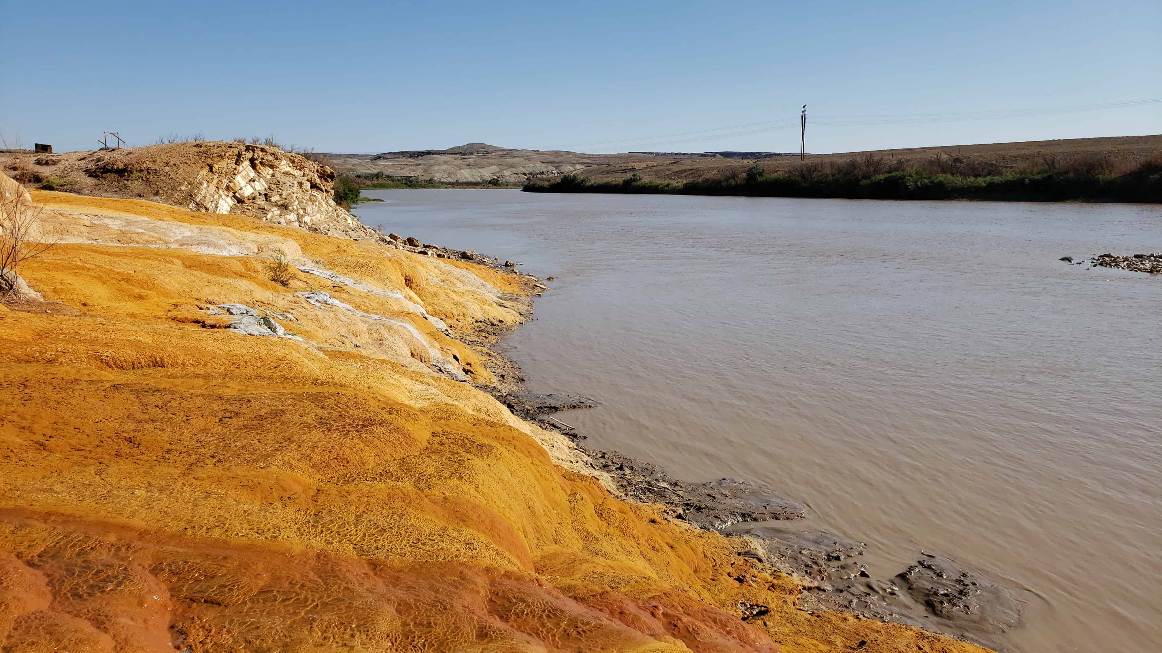
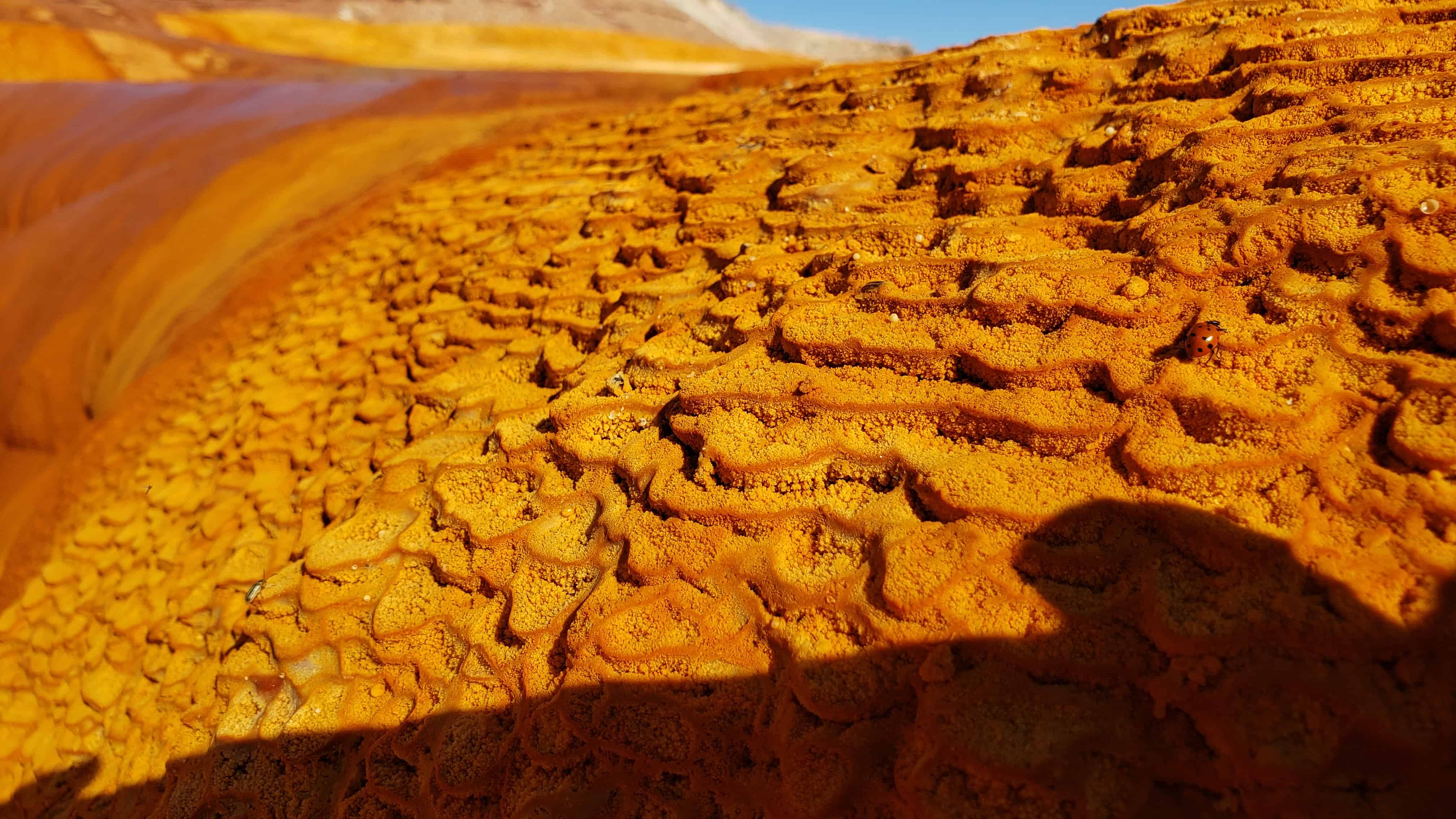
Coal fires can burn for very long periods of time (from months to centuries), until the seam in which they smoulder is exhausted. They propagate in a creeping fashion along mines shafts and cracks. Because they are underground, they are extremely difficult and costly to reach and extinguish. There is a strong similarity between coal fires and peat fires.

Mine fires may begin as a result of an industrial accident, generally involving a gas explosion. Historically, some mine fires were started when bootleg mining was stopped by authorities, usually by blowing the mine up. Many recent mine fires have started from people burning trash in a landfill that was in proximity to abandoned coal mines, including the much publicized Centralia, Pennsylvania fire, which has been burning since 1962. Of the hundreds of mine fires in the United States burning today, most are found in the state of Pennsylvania.

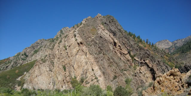
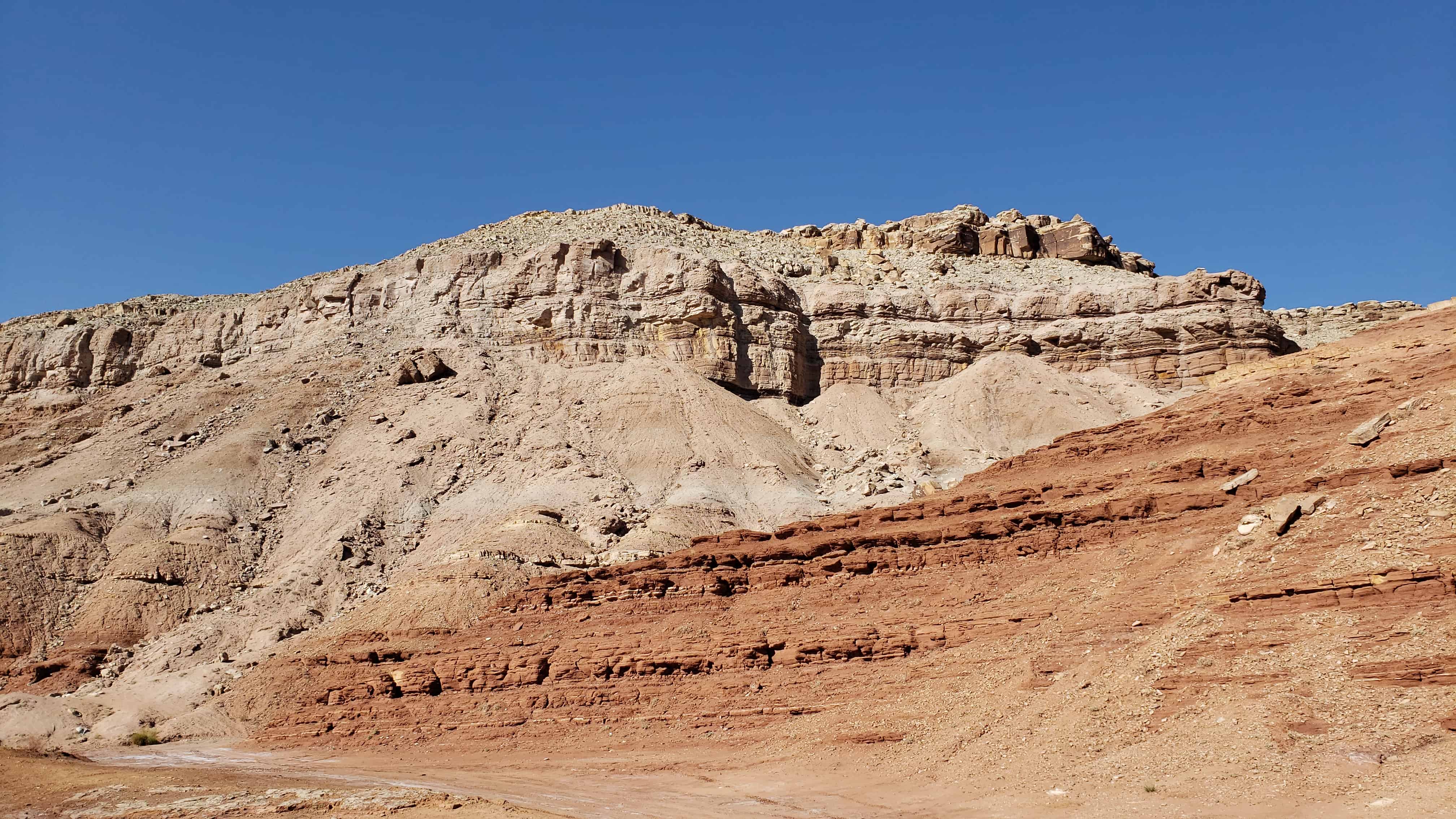
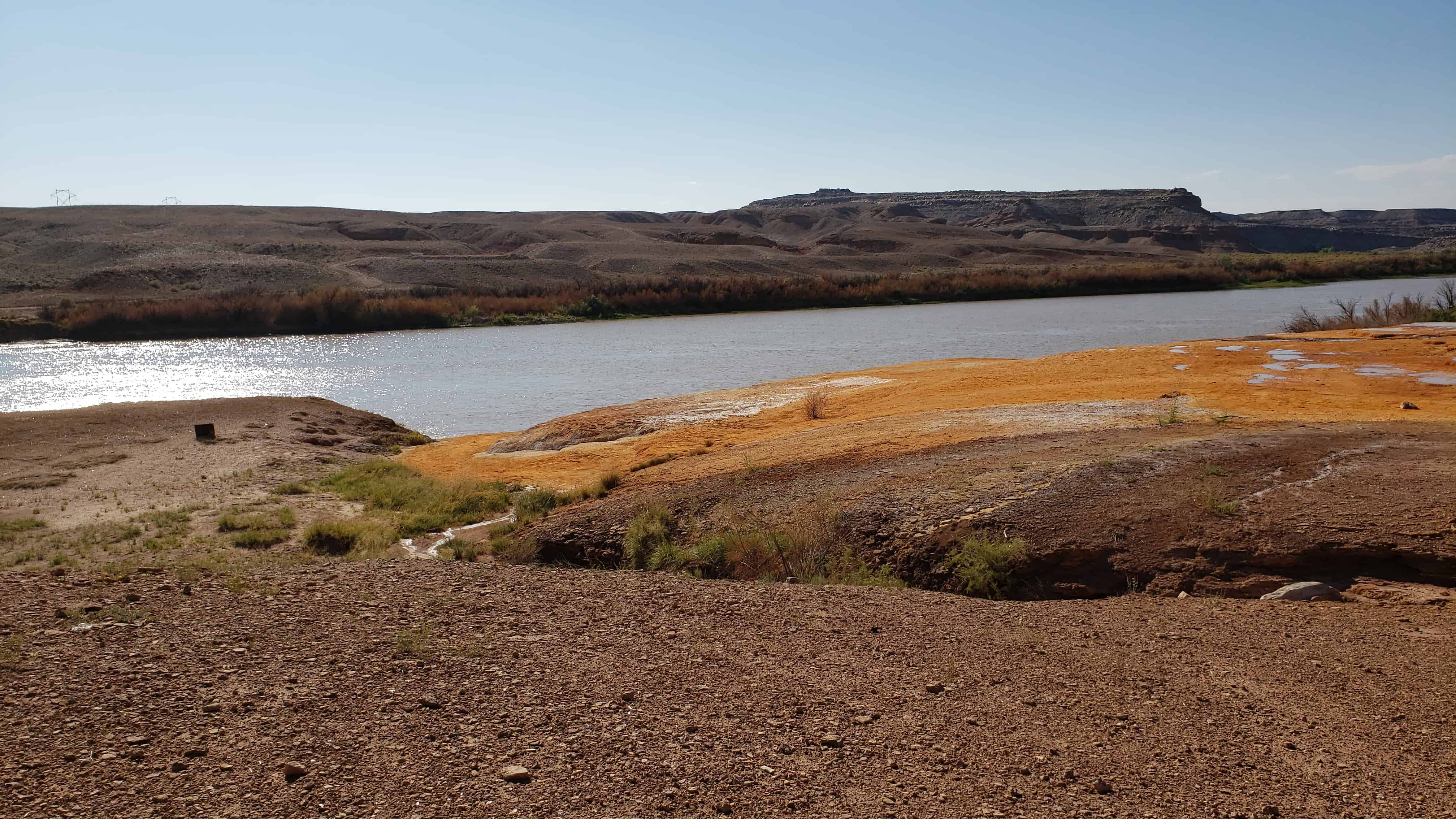
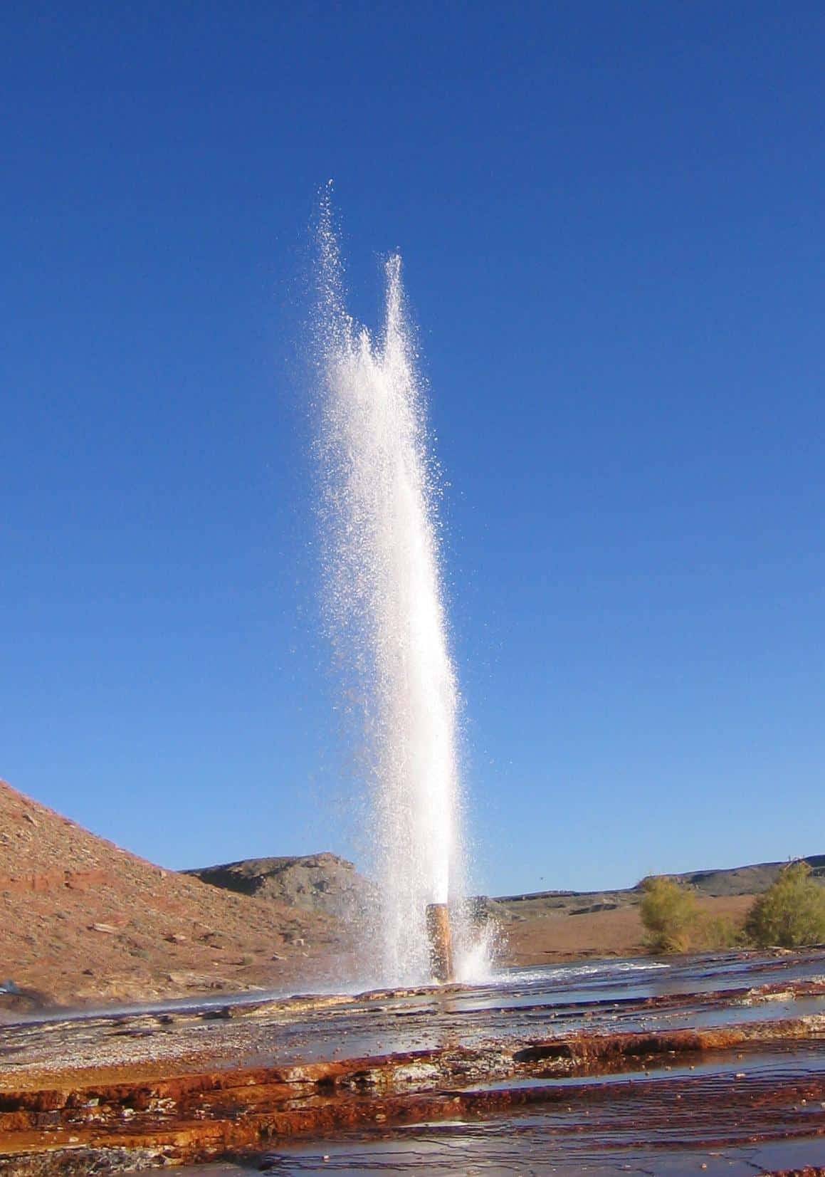
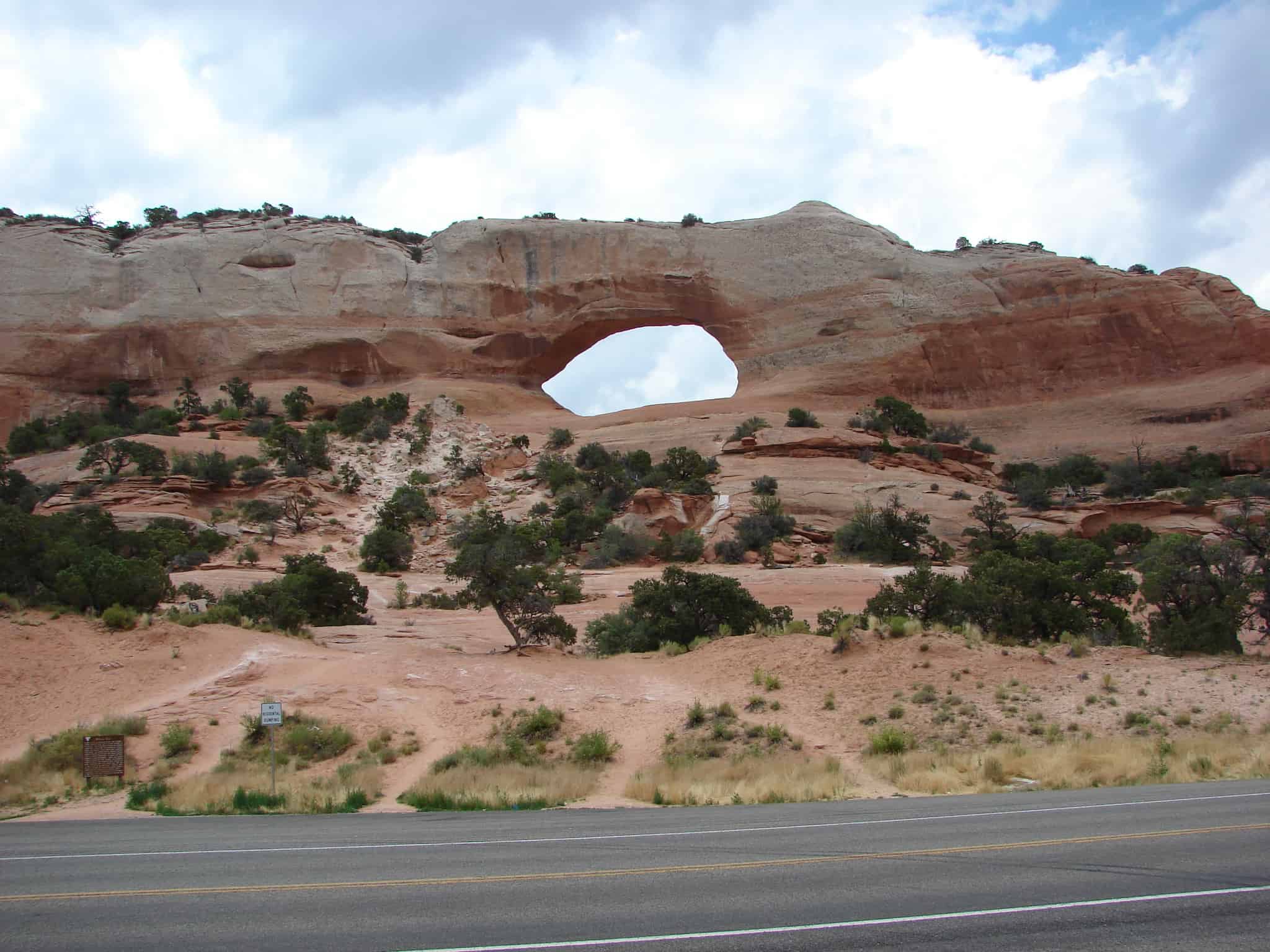
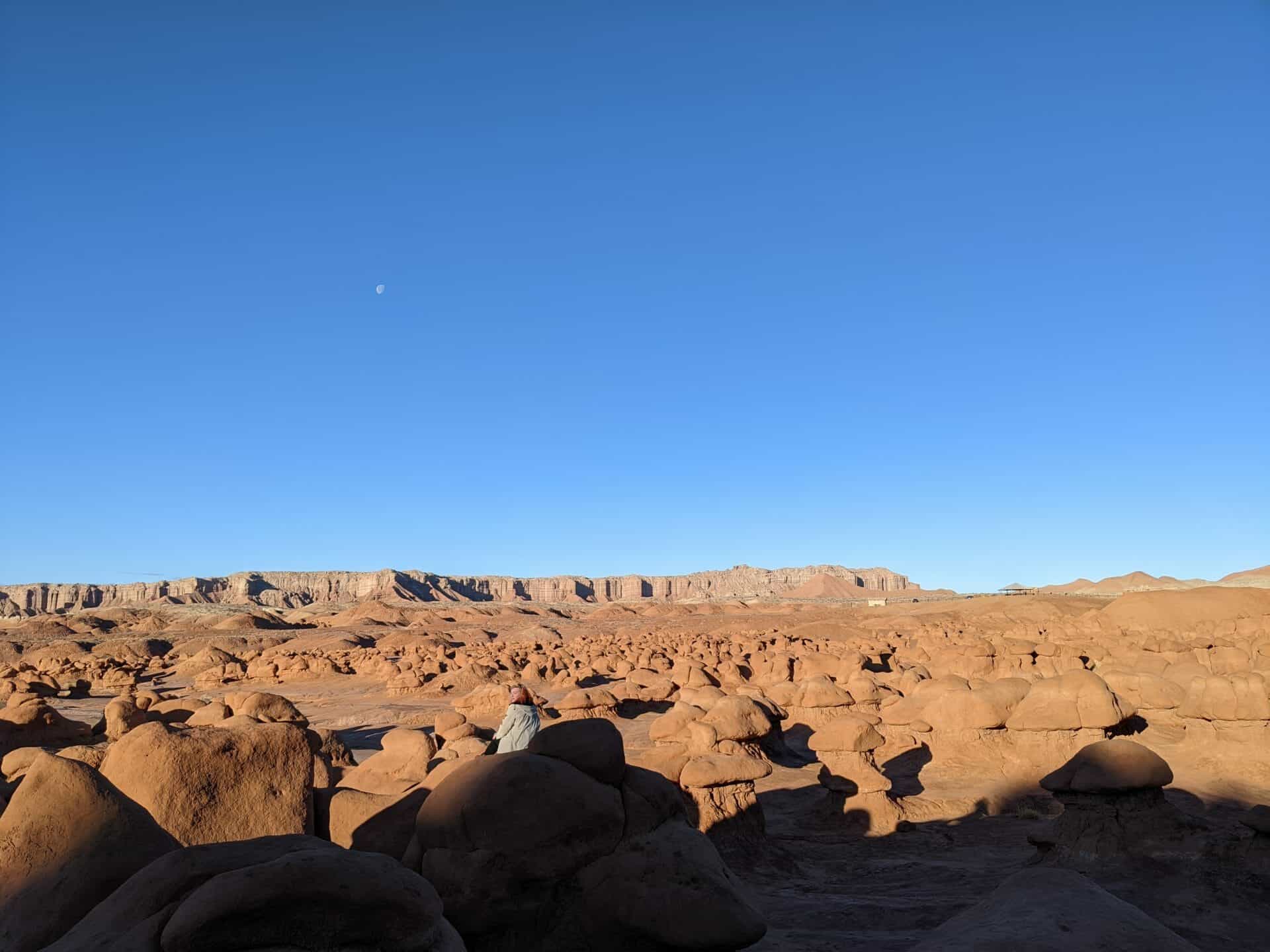
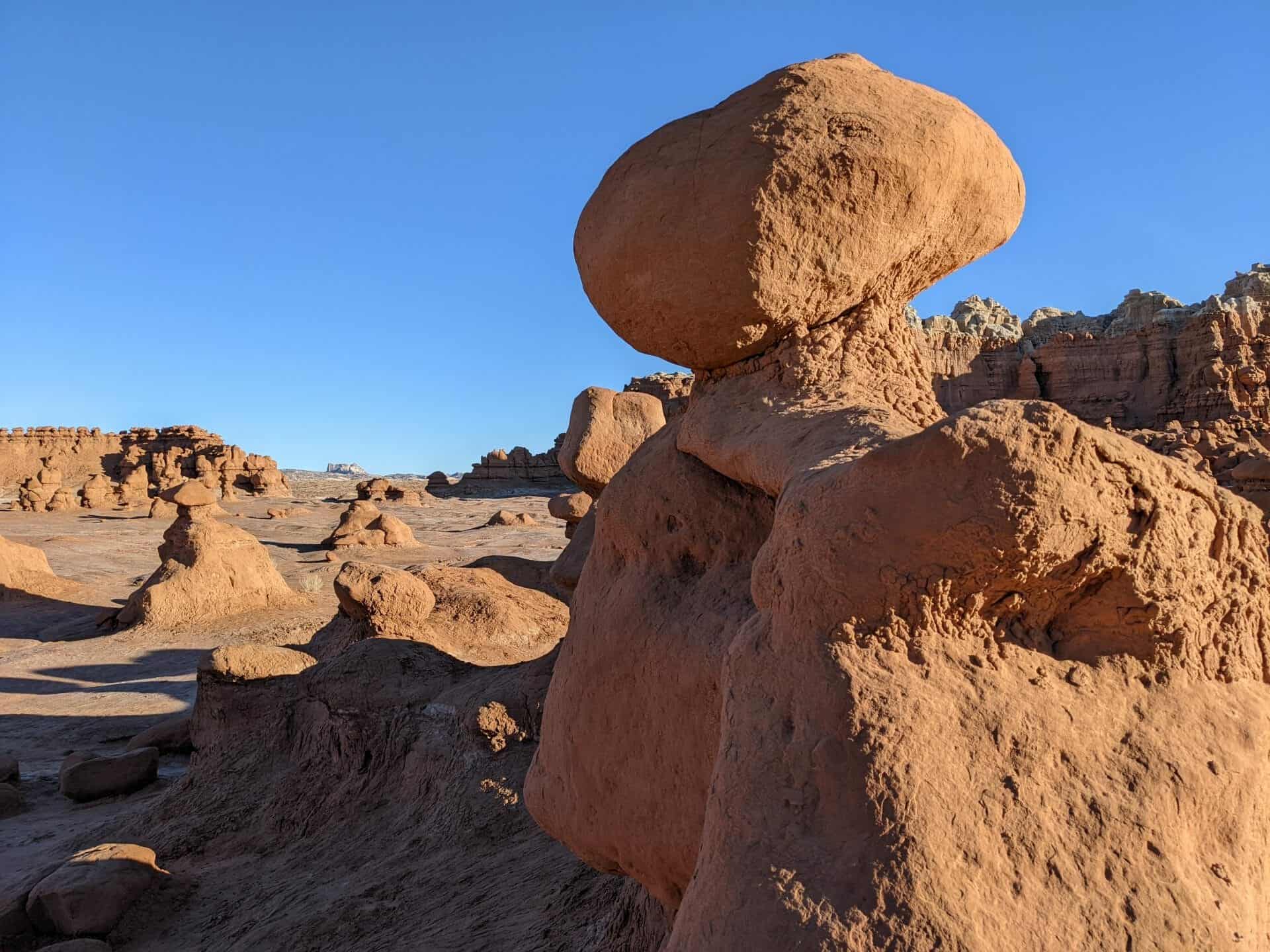
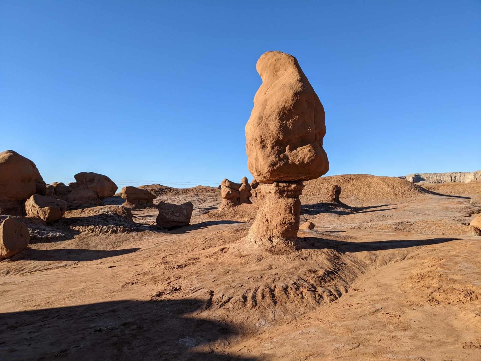
Some fires along coal seams are natural occurrences. Some coals may self-ignite at temperatures as low as 104°F in the right conditions of moisture and grain size. Wildfires (lightning-caused or others) can ignite the coal closer to the surface or entrance, and the smouldering fire can spread through the seam, creating subsidence that may open further seams to oxygen and spawn future wildfires when the fire breaks to the surface. Prehistoric clinker outcrops in the American West are the result of prehistoric coal fires that left a residue that resists erosion better than the matrix, leaving buttes and mesa. It is estimated that Australia’s Burning Mountain, the oldest known coal fire, has burned for 6,000 years.

Globally, thousands of inextinguishable mine fires are burning, especially in China and India, where poverty, lack of government regulations and runaway development combine to create an environmental disaster. Modern strip mining exposes smoldering coal seams to the air, revitalizing the flames.

picture26apr08-008
picture26apr08-009
picture26apr08-010
picture26apr08-011
picture26apr08-012

Standing at the bottom of the Ocean

29 Monday Sep 2014

Posted by Jacob Barlow in Uncategorized

≈ Leave a comment

Tags

Emery County, Geology, historic, San Rafael Swell, utah

  • picture18apr08-024

Standing here you are standing on a limestone layer of the Carmel formation, which formed in an ancient inland sea. The is was sea that covered the giant sand dunes that eventually turned to massive deposits of Navajo Sandstone. The formation is prevalent across the Colorado Plateau. Here at the San Rafael Swell, erosion has cut the Navajo Sandstone into great white monoliths, knobs, and canyons bearing names such as Ghost Rock, Locomotive Point, Joe and his Dog, Eagle Canyon, and Temple Mountain. A good eye can see how the rock layers dip slightly to the west. Eventually the monoliths will become knobs, the knobs will become mounds, and the mounds will succumb to erosion and disappear. The great cliff you now stand atop will also be worn away a grain at a time and “the hills will be made low.”

(Located at the Eagle Canyon View Area on I-70)

  • picture18apr08-020

Wilson Arch

12 Tuesday Nov 2013

Posted by Jacob Barlow in Uncategorized

≈ 1 Comment

Tags

Arches, Geologic, Geology, San Juan County, utah

2016-07-31-16-04-50

Wilson Arch was named after Joe Wilson, a local pioneer who had a cabin nearby in Dry Valley. This formation is known as Entrada Sandstone. Over time superficial cracks, joints, and folds of these layers were saturated with water. Ice formed in the fissures, melted under extreme desert heat, and winds cleaned out the loose particles. A series of free-standing fins remained. Wind and water attacked these fins until, in some, cementing material gave way and chunks of rock tumbled out. Many damaged fins collapsed like the one to the right of Wilson Arch. Others, with the right degree of hardness survived despite their missing middles like Wilson Arch.

Goblin Valley, Utah

31 Thursday Oct 2013

Posted by Jacob Barlow in Uncategorized

≈ 3 Comments

Tags

Emery County, Geology, Goblin Valley, Hanksville, San Rafael Swell, State Parks, utah, Utah State Parks

Image
Cowboys searching for cattle first discovered secluded Goblin Valley. Then in the late 1920s, Arthur Chaffin, owner/operator of the Hite Ferry, and two companions were searching for an alternative route between Green River and Caineville. They came to a vantage point about a mile west of Goblin Valley and were awed by what they saw, five buttes and a valley of strange-shaped rock formations surrounded by a wall of eroded cliffs.

In 1949, Chaffin returned to the area he called Mushroom Valley. He spent several days exploring the mysterious valley and photographing its scores of intricately eroded creatures. The area was acquired by the state of Utah and in 1964 was officially designated a state park.

Goblin Valley State Park is a showcase of geologic history. Exposed cliffs reveal parallel layers of rock bared by erosion. Because of the uneven hardness of sandstone, some patches resist erosion much better than others. The softer material is removed by wind and water, leaving thousands of unique, geologic goblins. Water erosion and the smoothing action of windblown dust work together to shape the goblins.

Bedrock is exposed because of the thin soil and lack of vegetation. When rain does fall, there are few plant roots and little soil to capture and hold the water, which quickly disappears, in muddy streams without penetrating the bedrock.

Opened to the public as a state park in 1964.*

Related:

  • Click here for some photos from a trip to the area in 2011.
  • Other State Parks in Utah

Newer posts →

Follow Jacob

Follow Jacob

Blog Stats

  • 2,021,853 hits

Social and Other Links

BarlowLinks.com

Recent Posts

  • Dale’s Sinclair Service Station
  • 83 N Street
  • First Company of Pioneers into the Valley
  • Blue Base – The Stand Filming Location
  • 926 E South Temple

Archives


Loading Comments...