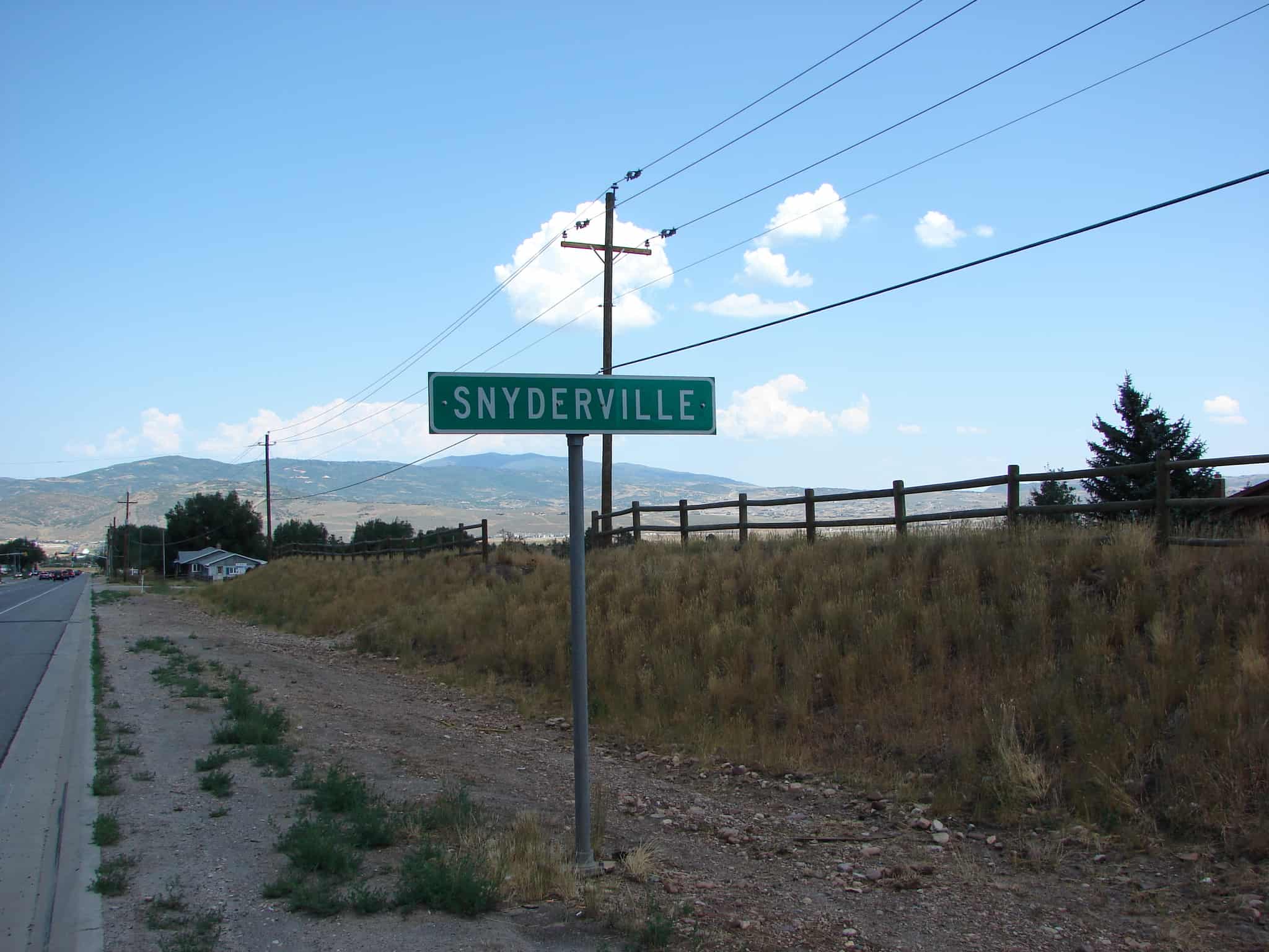
Snyderville is four miles northwest of Park City. It was settled in 1865 by J. M. Grant, H. C. Kimball, and Samuel C. Snyder, who developed mine holdings and a sawmill in the area. After the Overland Stage went through this area, it became known as Snyders Station and later Snyderville, for G. G. Snyder, the younger brother of Sam. G. G. was a probate judge who named Park City.
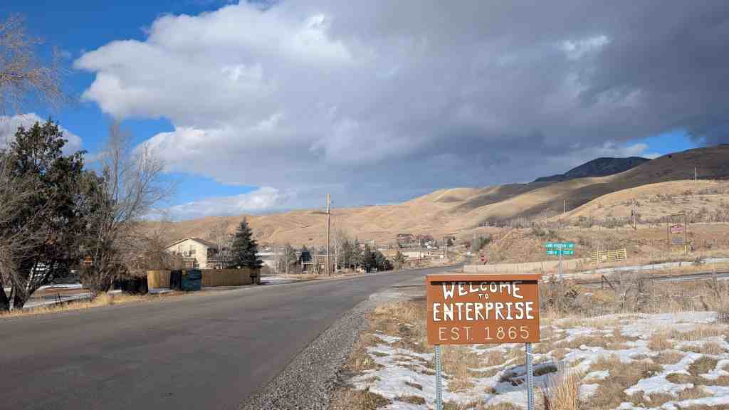
The first settlers in Enterprise were Henry and Stephen Hales, who arrived in 1861. They found fertile land on the bench, but little water for irrigation. They dug a 2-mile ditch from the Weber River to water their farmland. A canal company was organized in 1863 to irrigate the whole area, but Enterprise was short on water for many years as thieves diverted water upstream. The first schoolhouse was built in 1863. A townsite with official blocks was surveyed and laid out in 1865. A sawmill operated in Roswell Canyon in the 1870s. Although it was not an official census precinct, the 1880 census enumerated 81 residents in Enterprise.
(Not to be confused with Enterprise, Utah in Washington County)
The geographic feature known as Bingham Canyon received its name from the location’s two first settlers, the brothers Thomas and Sanford Bingham, who arrived in the canyon in 1848. Initially, the area was utilized for livestock grazing and logging, but the region’s economic focus changed with the 1863 discovery of rich gold and silver ore bodies in the canyon. Mining activity in Bingham Canyon boomed after the Bingham Canyon and Camp Floyd Rail Road completed a line to the canyon in 1873, and as the region grew the focus shifted to the high-quality copper ores in the district. As the mines grew, the town of Bingham also expanded, spreading along the narrow and steep canyon floor below the mines.
Charleston is at the northeast section of Deer Creek Reservoir, at the junction of U-113 and US-89. The town was settled in 1852. There are two versions of the name source. The first and more accepted is that it was named for Charles Shelton who surveyed the town. The other suggests that James Herbert stopped there on his mail route and told the men at the herders’ cabin that if they would put up a mailbox, he would deliver mail to them. A Mr. Winterton, one of the herders, remembered hearing of Charleston, South Carolina, so he made a mailbox, put it in a crotch of a tree and used that name.
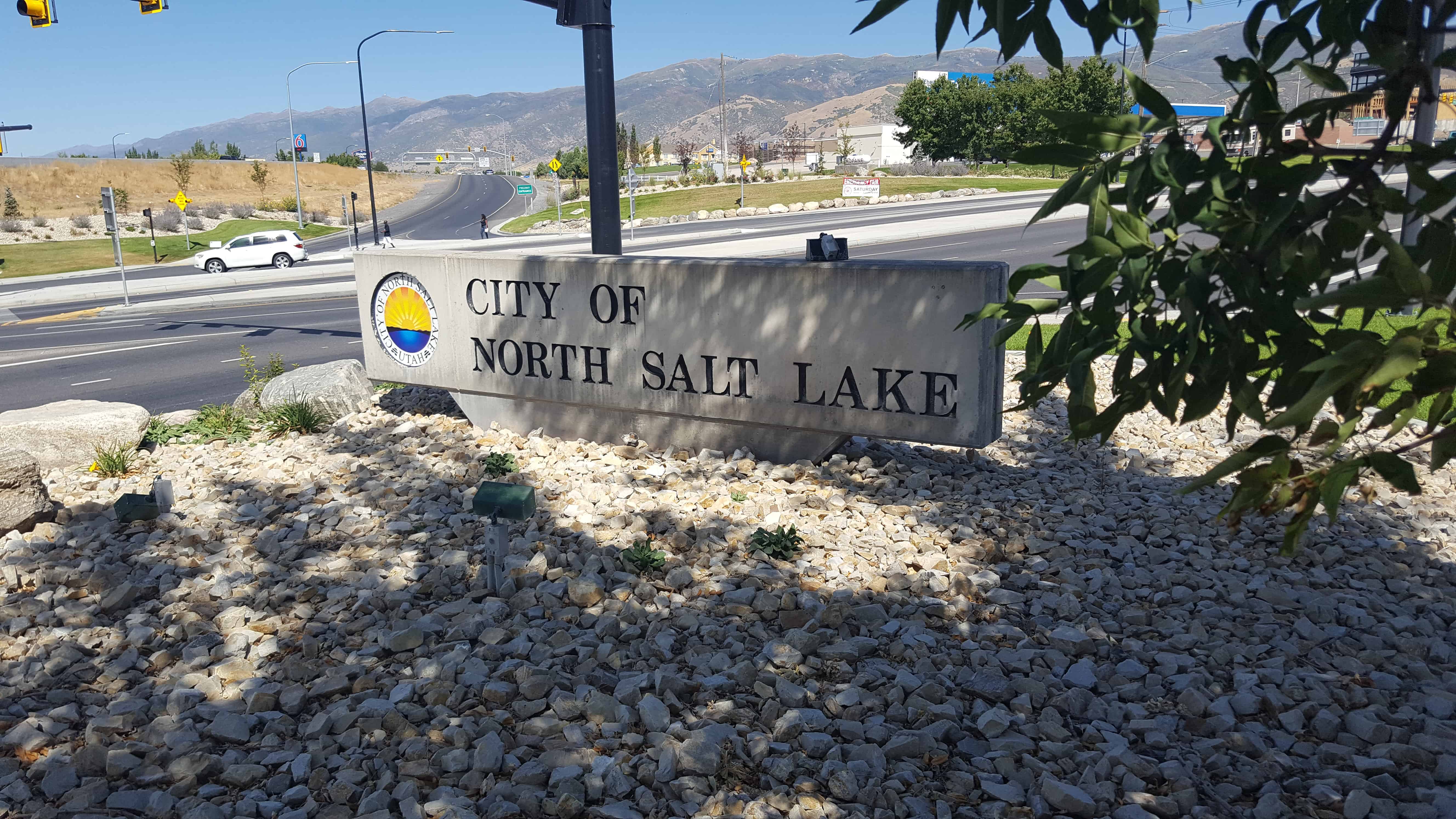
Beginning at the boundary line of Salt Lake and Davis counties and stretching east up the mountainside and west towards the Great Salt Lake sits the city of North Salt Lake. On its northern border the city meets Woods Cross and Bountiful.
In 1847 Brigham Young sent settlers north to find pastureland for cattle and to establish settlements. Among these people were the first homesteaders in North Salt Lake. As they left the Salt Lake area and traveled north, they found several steaming hot springs and ponds. These hot springs are still active on the southern boundary of the city. To the west flowed the Jordan River, and the land was swampy and covered with swamp grass. To the east the land slowly climbed up the tall grass-covered lower mountainsides. This grass sometimes hid a deep crevasse large enough to be of danger to cattle. Small natural springs found their way from the mountains into the grassy valley below. Many of the hillsides were rocky and sandy and not well suited for crops or cattle; however, they did produce several sand and gravel excavations.
The first homes built in the area were crude dugouts, which at least offered protection from the winter storms. Later homes were made of adobe, utilizing the natural clay deposits in the area. One of the first settlers of North Salt Lake, John Winegar, built his home of clay from deposits by the Jordan River. Because of the clay deposits, several brickyards were located in the area for a short time.
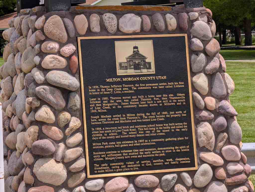
In 1856, Thomas Jefferson Thurston, the first permanent settler, built his first home in the Deep Creek area. The community was later called Littleton in honor of Jesse C. Little, a resident.
Later in 1860, Thurston moved and built a home near this site. Others followed and the area was called Thurston Fort, then Thurstonville and then Morganville. James Hanson later built a saw mill at the mouth of Line Creek, so the community became known as Milltown and in 1868, Milton.
Joseph Mecham settled in Milton during the fall of 1860, just north of here, across the creek from Thurston’s. The creek became the property line between Thurstons and Mechams and was named Line Creek.
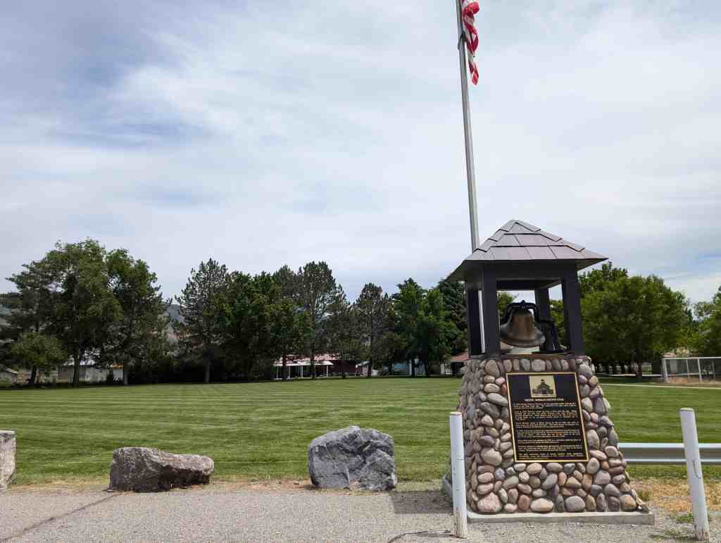
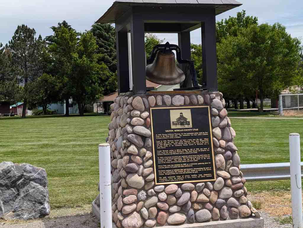
In 1906, a two-room red brick and sandstone school house was built across the street just south of Line Creek Road. This bell hung in the belfry and called the children to school. The school was one of the nicest in the early days of the county and hosted many dances and other events.
Milton Park came into existence in 1905 as a community gathering place for reunions, picnics, ball games and other celebrations.
Residents continue to volunteer time and resources, demonstrating the spirit of unity and selflessness that enabled the early settlers to exist in the hostile climate. Morgan County now owns and maintains the park.
The early community values of service, sacrifice, work, cooperation, friendliness, caring and dedication to God, country and family continue to make Milton a great place to live.
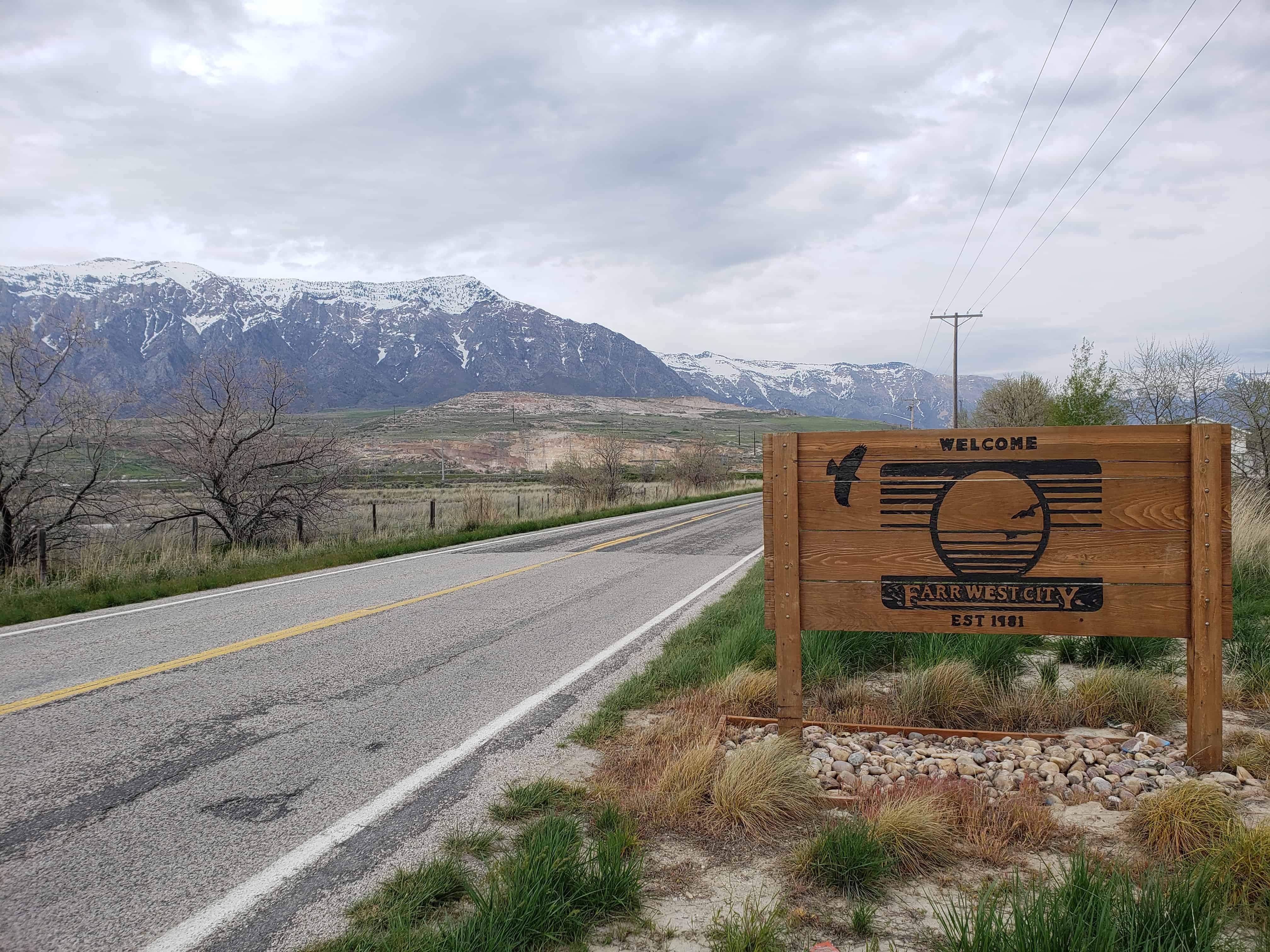
Farr West is a city in Weber County, Utah. The population was 3,094 at the 2000 census.
Farr West City is located on the north end of Weber County. It is bordered on the east by Pleasant View and by Harrisville, on the south by Slaterville, and on the west by Plain City, and was first settled by Mormon pioneers. In 1858 Joseph Taylor settled in the area that later became Farr West. In 1868 the area was included as a part of Harrisville when a precinct was organized. On 30 November 1890 western Harrisville was organized into a separate LDS ward and given the name Farr West in honor of Lorin Farr, former president of the Weber LDS stake, and Chauncey W. West, who had served as presiding bishop of Weber County, and who was the son-in-law of Abraham Hoagland. The name echoes “Far West”, an important early Mormon settlement in frontier Missouri.
The earliest settlers engaged in agriculture for their livelihood, and it received a great boost when the sugar beet industry was introduced in 1898. In 1923 further benefits were available to farmers when the Utah Packing Corporation installed a pea viner to help process field-grown peas.
Rosette is a small ranching community five miles west of Park Valley. Jonathan Campbell, the first postmaster, named it in 1871 for the wild roses in the area.
Park Valley is an unincorporated community in Box Elder County.
While the Transcontinental Railroad coming to Utah did not pass directly through the valley, its proximity played an important part in the settlement and development of the area. Settlement was apparently a result of surveys conducted for several miles on either side of the railroad right-of-way. Even before the rails were joined at Promontory on May 10, 1869, the effect of the railroad on Park Valley had begun. The first permanent settler was William P. (Cotton) Thomas, who migrated from Brigham City in 1869, and developed a cattle ranch near Dove Creek. The heavy growth of trees along the creek and the view of the valley inspired the name.
Clarkston is noted for being the last home of Martin Harris, one of the Three Witnesses of the Book of Mormon. He is buried in Clarkston and every other year a pageant commemorates his life.
The townsite of Clarkston was laid out in 1864. It was named for Israel J. Clark, who was an early settler and the first branch president of The Church of Jesus Christ of Latter-day Saints in Clarkston.