Lynne, named for a town in Scotland, was settled in 1849 by Edith Rice, George and Frederick Barker and Charles Burke. The following year Isaac Newton Goodale, Erastus Bingham and others came. In 1851 irrigation water was brought from Mill Creek under the supervision of I.N. Goodale. A log schoolhouse was erected in 1852 with widow Green the first school teacher. This building was also used for church and public gatherings. In 1866 a postoffice was established with Lewis Taft, postmaster. May 28, 1877 Daniel F. Thomas was made first bishop of the Lynne Ward, Church of Jesus Christ of Latter-day Saints.
Check out all of the historic markers placed by the Daughters of Utah Pioneers at JacobBarlow. com/dup
During the Indian uprisings in 1853 Brigham Young instructed the settlers to build a fort wall around ten blocks including this block upon which Thomas Dunn, the first Presiding Elder, had erected a six room adobe home in 1851. In 1854 a band of Indians staged a war dance around the house. They were finally pacified and peace restored. The fort wall was never completed as work was abandoned when Indian trouble subsided. After 1952 the city used the home for offices and council meetings.
Check out all of the historic markers placed by the Daughters of Utah Pioneers at JacobBarlow. com/dup
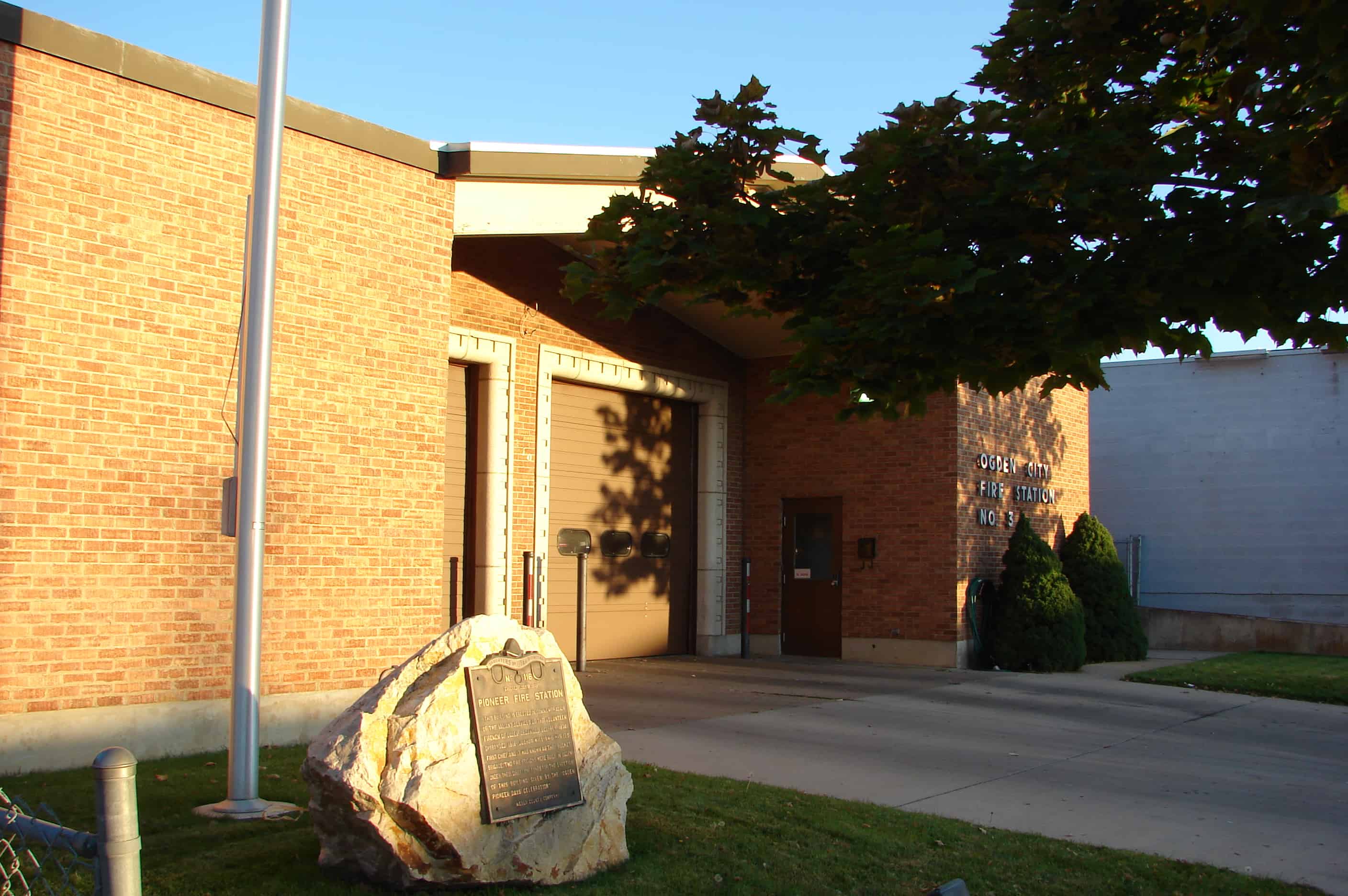
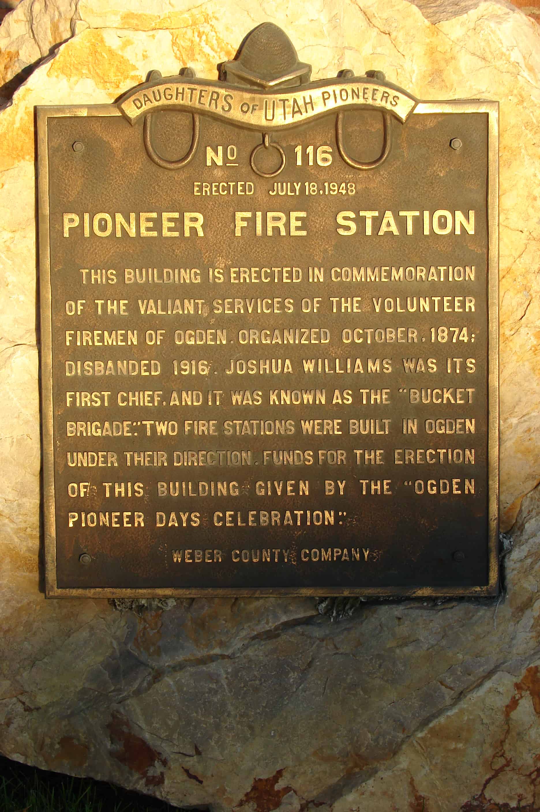
Pioneer Fire Station This building is erected in commemoration of the valiant services of the volunteer firemen of Ogden. Organized October, 1874; disbanded, 1916. Joshua Williams was its first Chief, and it was known as the “Bucket Brigade.” Two fire stations were built in Ogden under their direction. Funds for the erection of this building given by the Ogden Pioneers Days Celebration.
This is Daughters of Utah Pioneers historic marker #116.
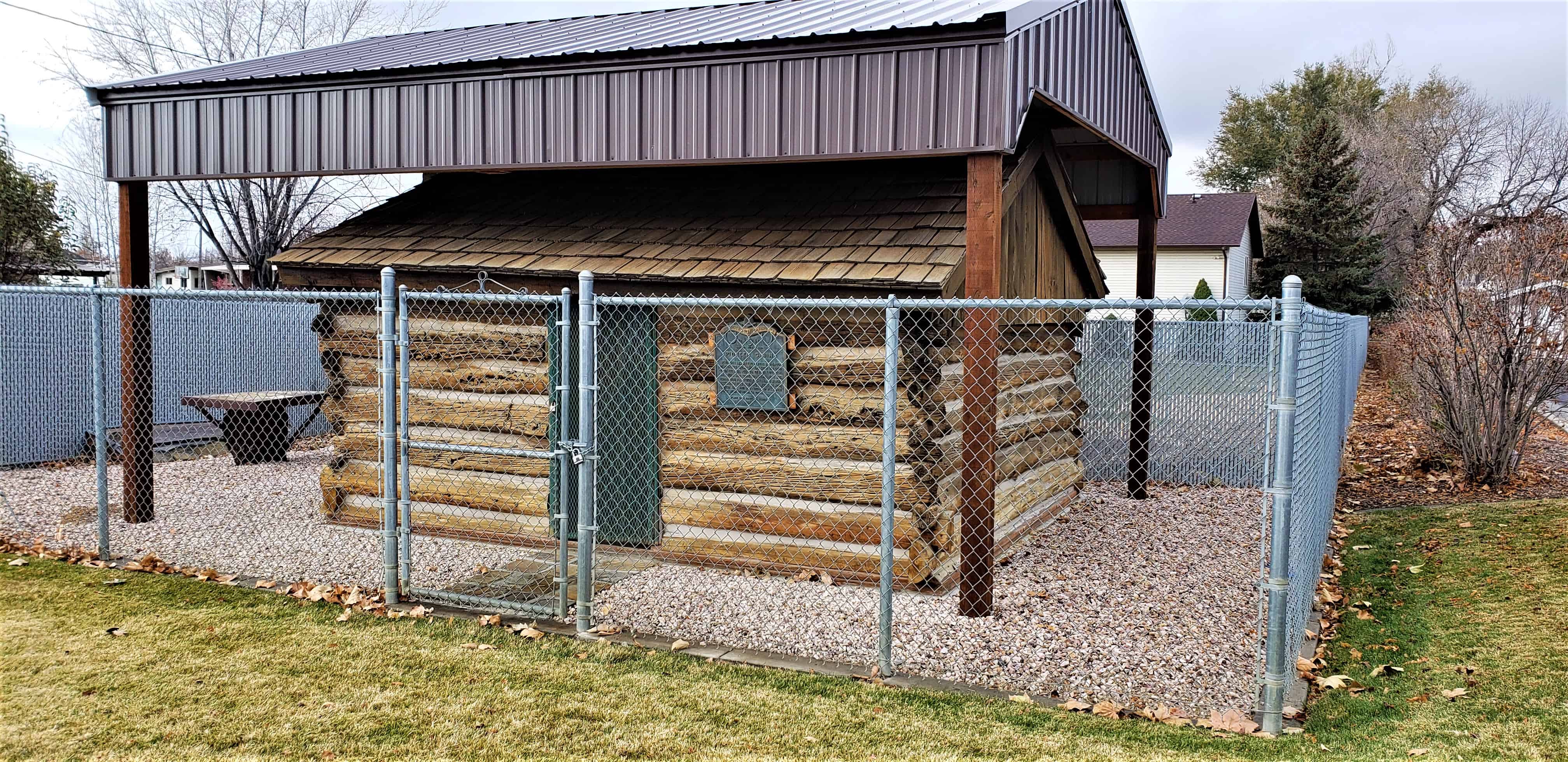
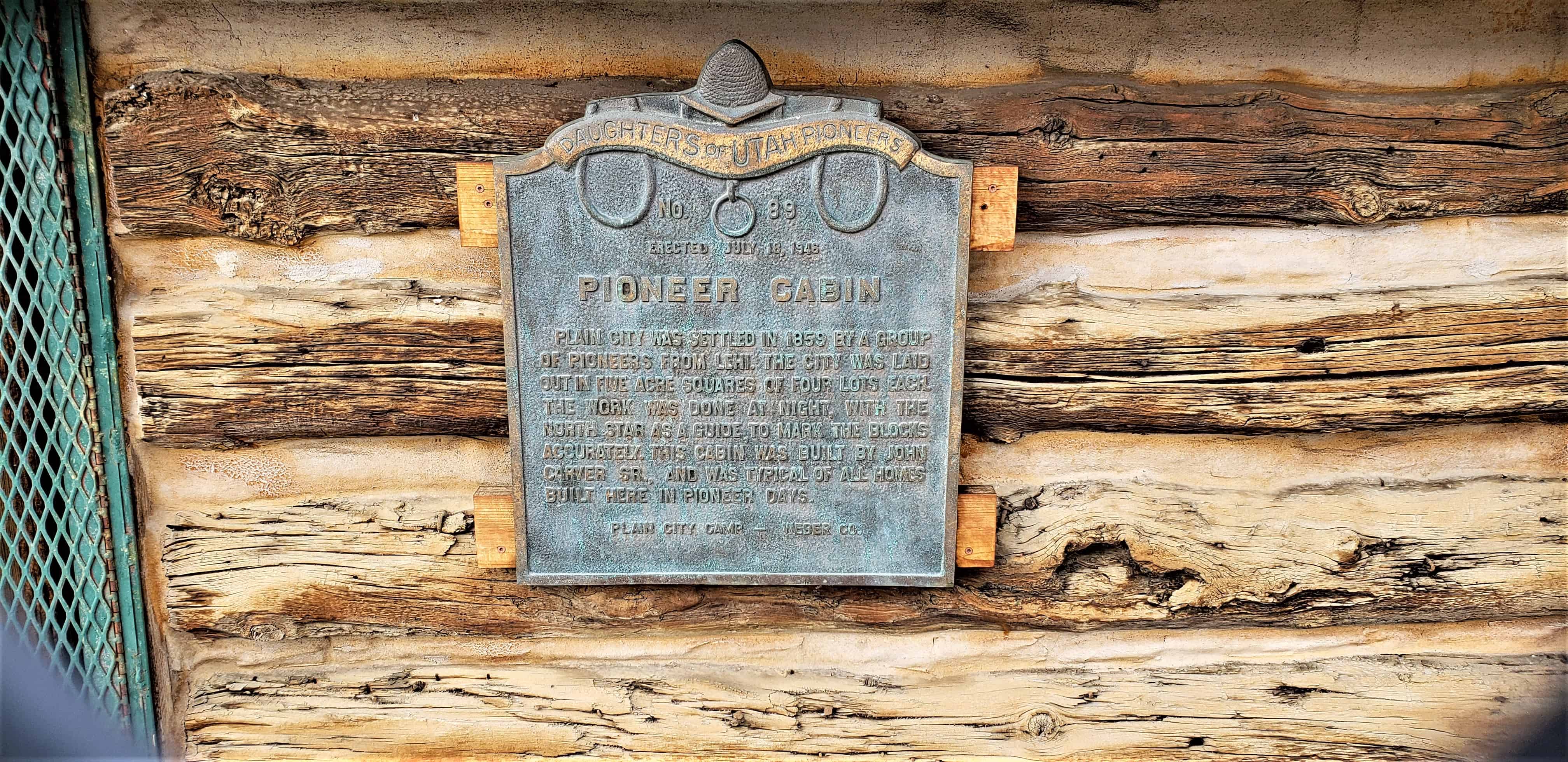
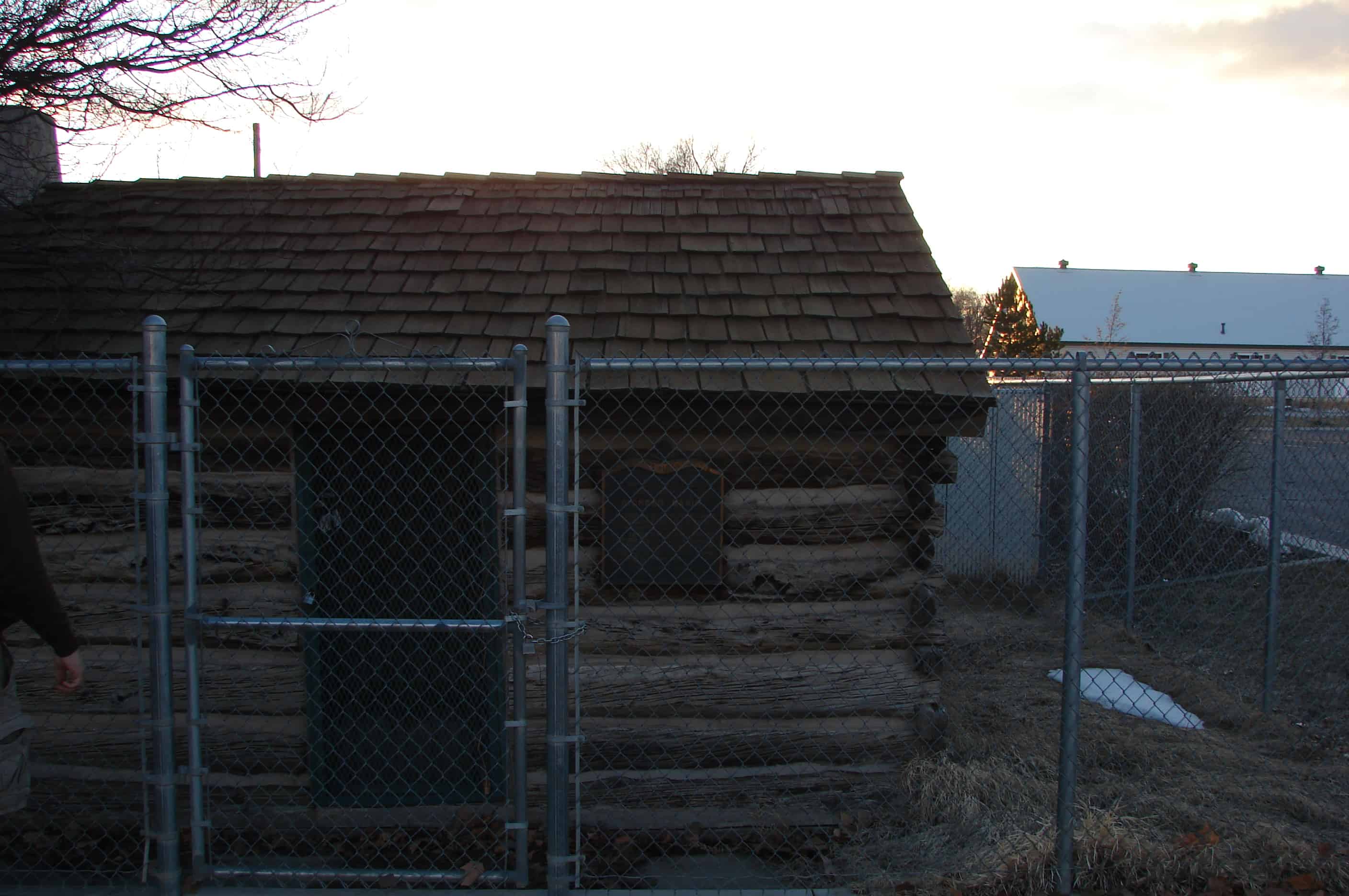
Plain City was settled in 1859 by a group of pioneers from Lehi. The city was laid out in five-acre squares of four lots each, the work being done at night with the North Star as a guide to mark the blocks accurately. This was the second cabin built here and the builder was John Carver, Sr. It was typical of other pioneer homes used here at that time.
Check out all of the historic markers placed by the Daughters of Utah Pioneers at JacobBarlow. com/dup
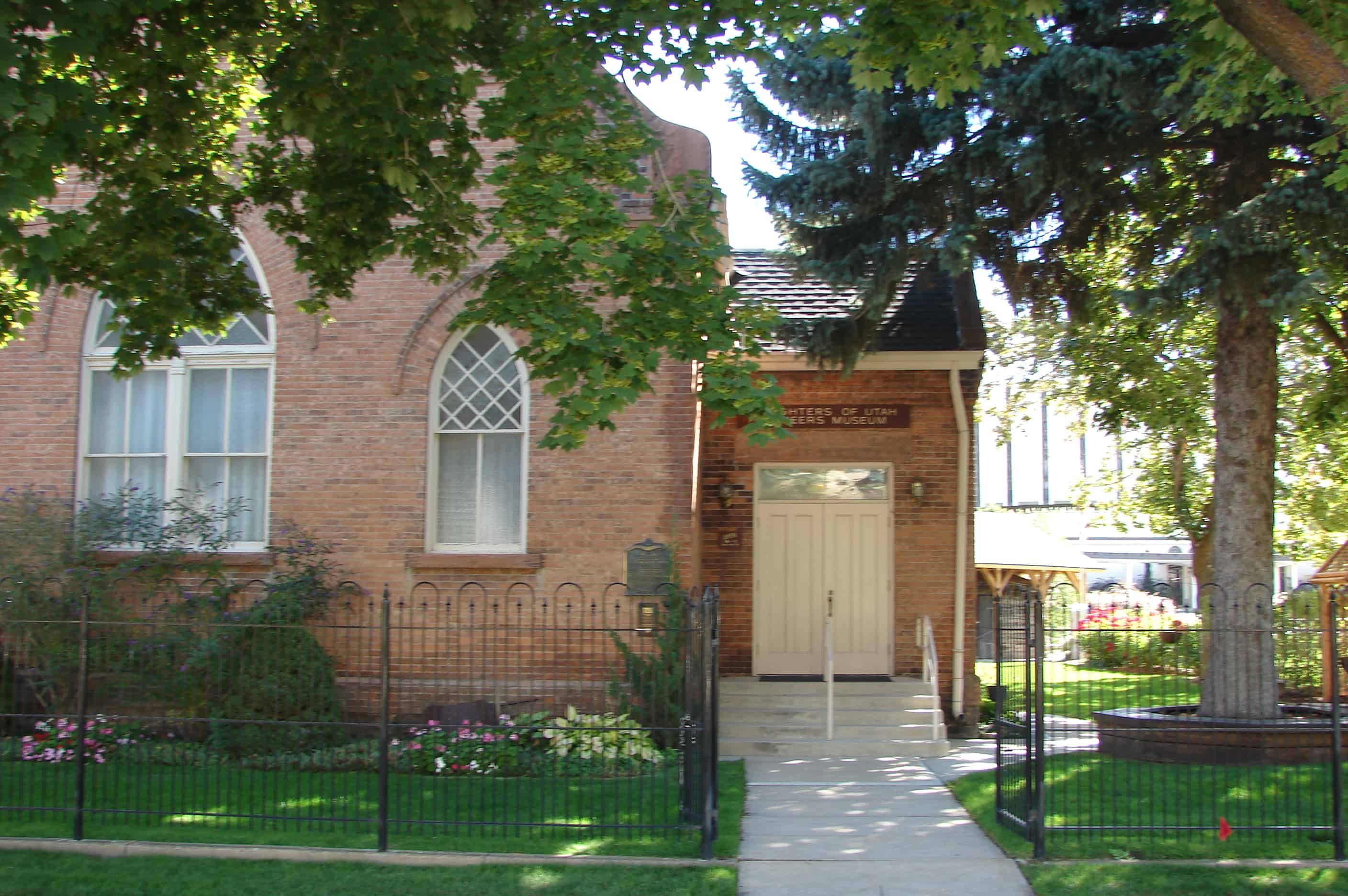
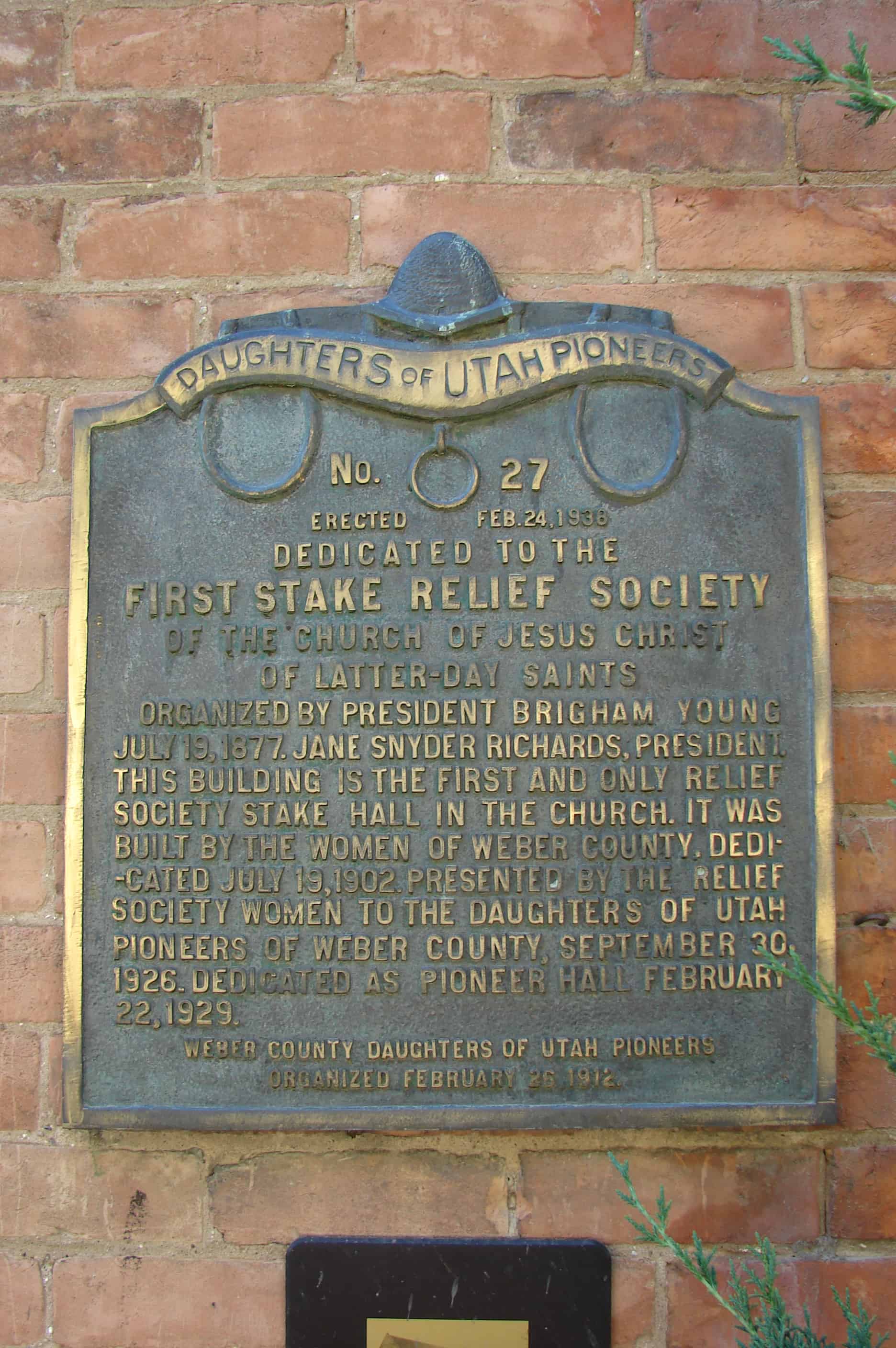
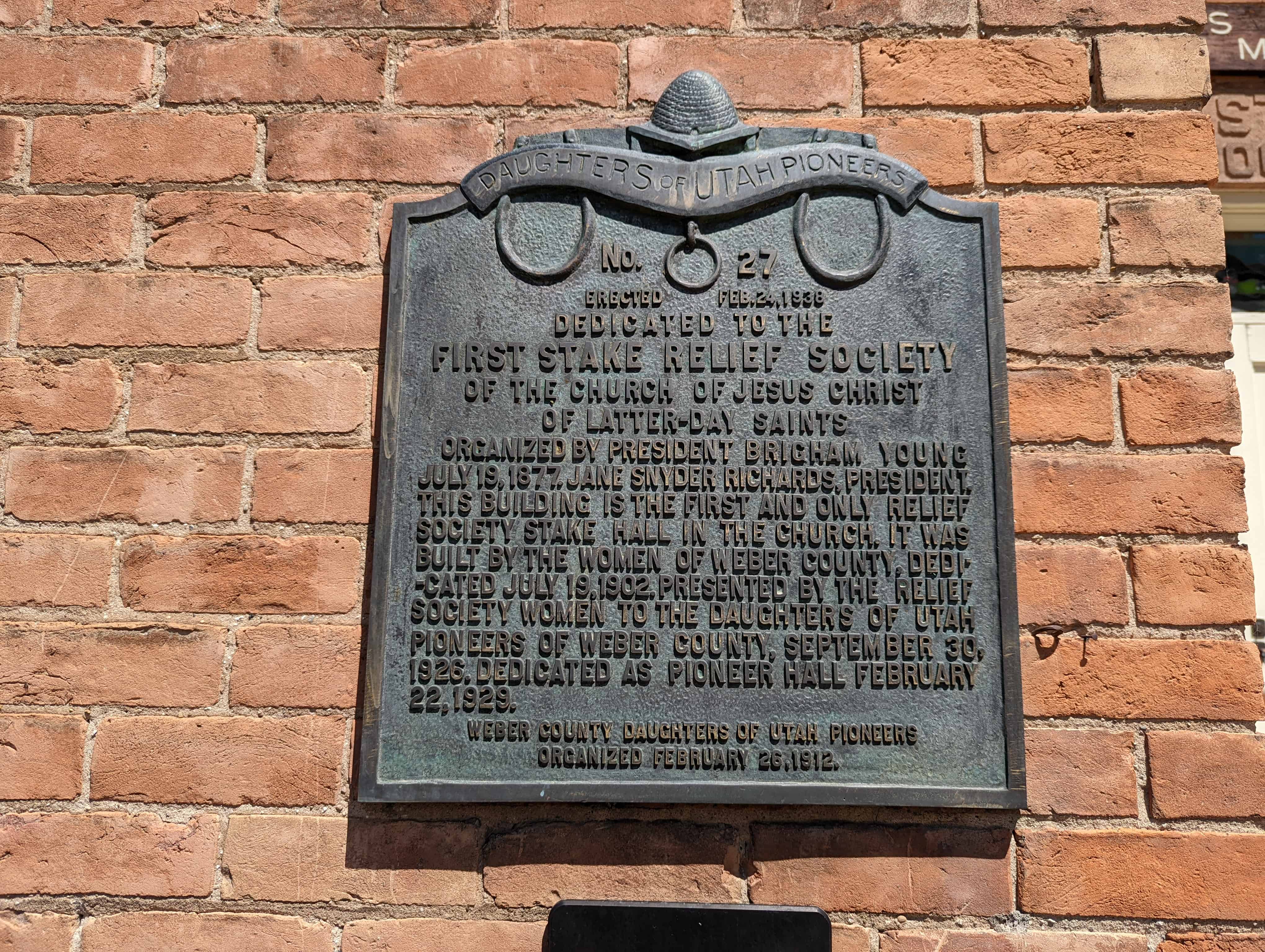
Daughters of Utah Pioneers No. 27 Erected Feb. 24, 1938 Dedicated to the First Stake Relief Society of the Church of Jesus Christ of Latter-Day Saints Organized by President Brigham Young July 19, 1877 Jane Snyder Richards, President. This building is the first and only Relief Society Hall in the Church. It was built by the women of Weber County, dedicated July 19, 1902. Presented by the Relief Society women to the Daughters of Utah Pioneers of Weber County September 20, 1926. Dedicated as a Pioneer Hall February 22, 1929 Weber County Daughters of Utah Pioneers Organized February 26, 1912
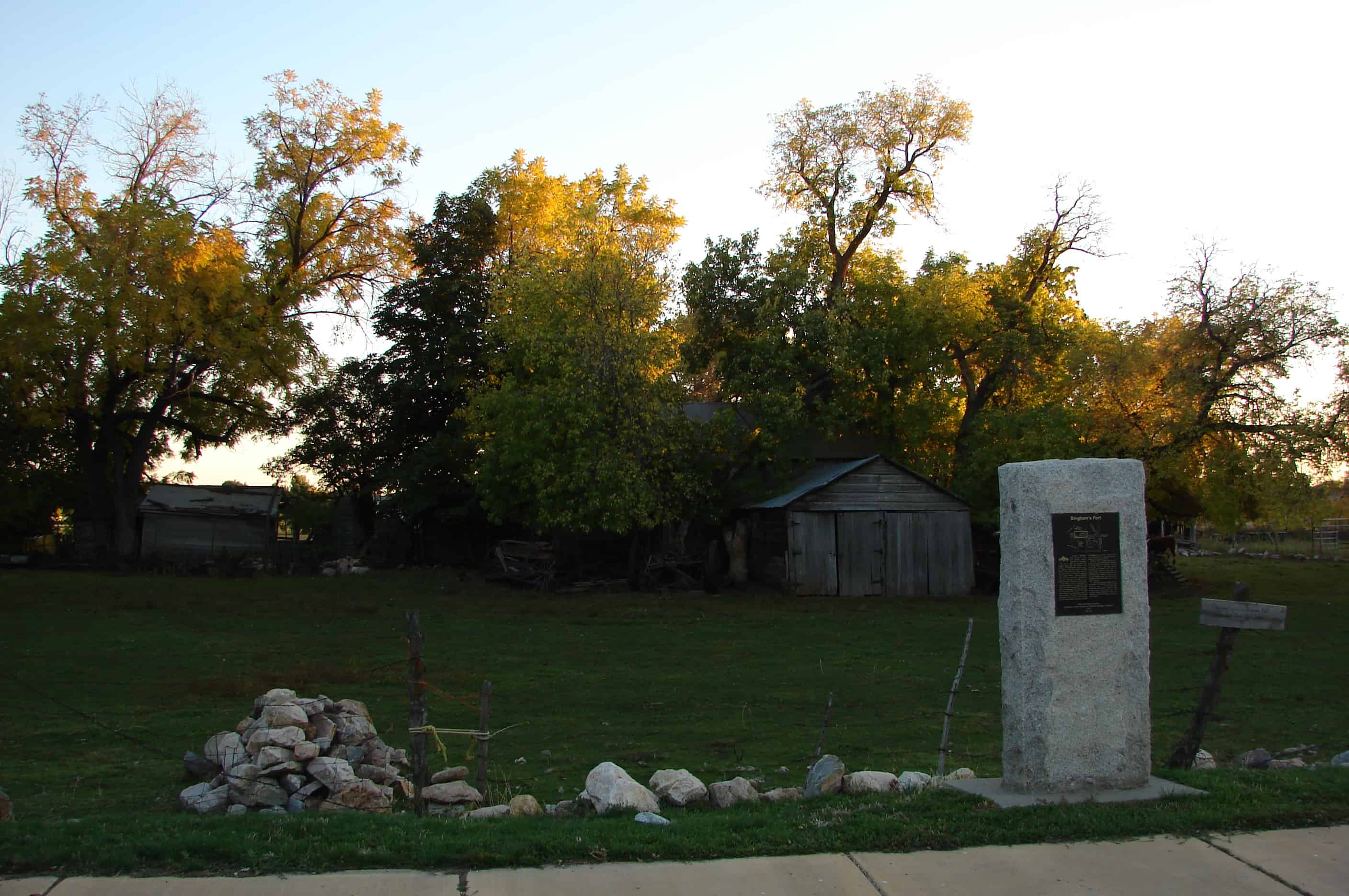
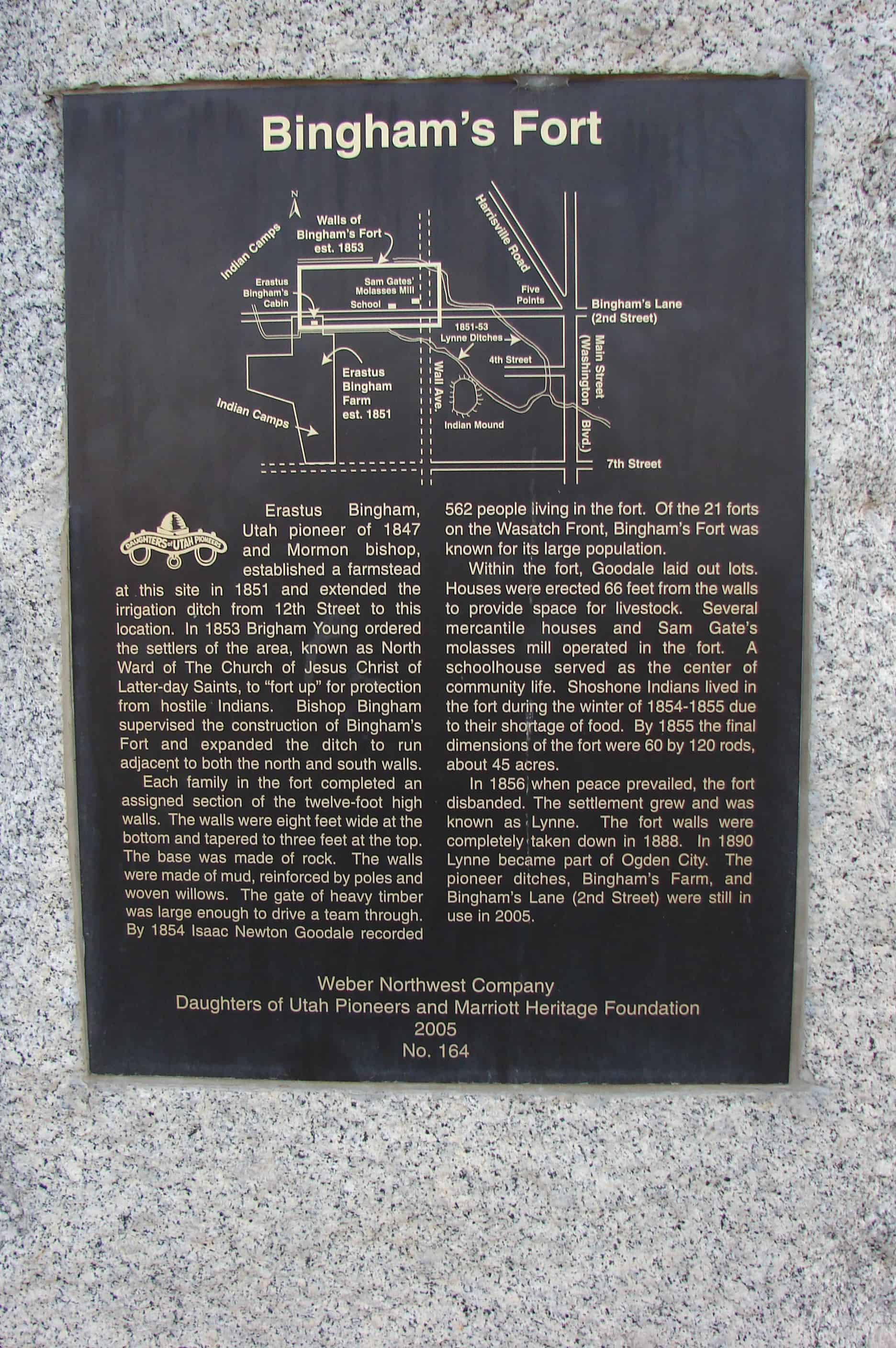
Erastus Bingham, Utah pioneer of 1847 and Mormon bishop, established a farmstead at this site in 1851 and extended the irrigation ditch from 12th Street to this location. In 1853 Brigham Young ordered the settlers of the area, known as North Ward of The Church of Jesus Christ of Latter-day Saints, to “fort up” for protection from hostile Indians. Bishop Bingham supervised the construction of Bingham’s Fort and expanded the ditch to run adjacent to both the north and south walls.
Each family in the fort completed an assigned section of the twelve-foot high walls. The walls were eight feet wide at the top. The base was made of rock. The walls were made of mud, reinforced by poles and woven willows. The gate of heavy timber was large enough to drive a team through. By 1854 Isaac Newton Goodale recorded 562 people living in the fort. Of the 21 forts on the Wasatch Front, Bingham’s Fort was known for its large population.
Within the fort, Goodale laid out lots. Houses were erected 66 feet from the walls to provide space for livestock. Several mercantile houses and Sam Gate’s molasses mill operated in the fort. A schoolhouse served as the center of community life. Shoshone Indians lived in the fort during the winter of 1854-1855 due to their shortage of food. By 1855 the final dimensions of the fort were 60 by 120 rods, about 45 acres.
In 1856 when peace prevailed, the fort disbanded. The settlement grew and was known as Lynne. The fort walls were completely taken down in 1888. In 1890 Lynne became part of Ogden City. The pioneer ditches, Bingham’s Farm, and Bingham’s Lane (2nd Street) were still in use in 2005.
This flour mill was built in the fall of 1850 by Lorin Farr, first mayor of Ogden, and continued to operate until 1862. It was a 30 x 40 foot two story building of lumber and rock. The grain was ground by the use of burrs several of which were set up.
This other plaque is also located there:
This flour mill was built in the fall of 1850 by Lorin Farr, first mayor of Ogden, and continued to operate till 1862. There was a 30×40 foot two story building of lumber and rock. The grain was ground by the use of burrs several of which were set up.
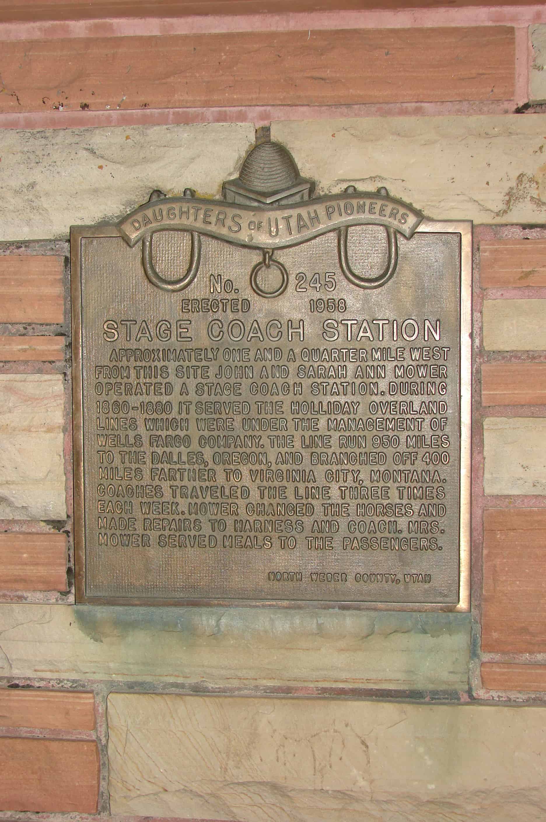
Approximately one and a quarter mile west from this site John and Sarah Ann Mower operated a stage coach station. During 1860-1880 it served the Holladay Overland Lines which were under the management of Wells Fargo Company. The line ran 950 miles to The Dalles, Oregon, and branched off 400 miles farther to Virginia City, Montana. Coaches traveled the line three times each week. Mower changed the horses and made repairs to harness and coach. Mrs. Mower served meals to the passengers.
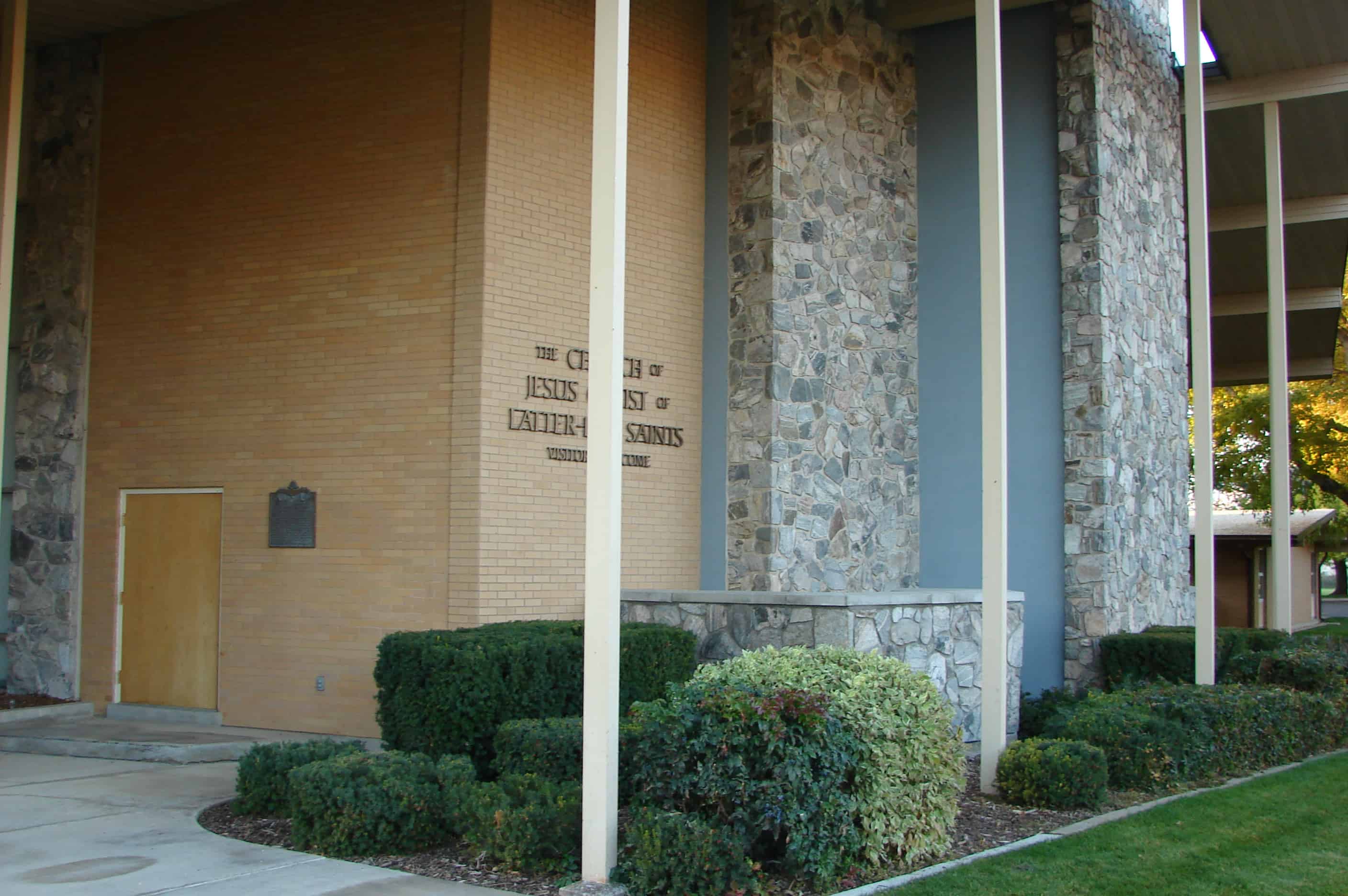
In 1855-56 people of Ogden area started construction of this tabernacle, under direction of Stake President Lorin Farr. About fifty families donated labor, materials, etc. Wm. Nicol Fife, architect and builder and Walter Thompson were sent from Salt Lake City by Brigham Young to take charge of the erection. Foundation was rock, walls adobe, two feet thick, and interior finished with red pine from Strong’s Canyon, floated down Ogden River and sawed at Farr’s Mill. Roof arches were fastened with wooden pegs. Dedicated October 10, 1869 and remodeled in 1896 at a cost of $15,000. It was used until 1956 for Stake Conferences.
This is Daughters of Utah Pioneers historic marker #265, erected in 1961 and located at the Ogden LDS Temple until it was remodeled, it was then moved to the Weber County Daughters of Utah Pioneers Museum at 2104 Lincoln Avenue in Ogden, Utah.
Miles Goodyear, the first European-American settler to the Ogden area, built Fort Buenaventura as a fur trading post in 1845. The Mormons arrived in Utah in 1847 and immediately began establishing settlements in promising locations, including Ogden. The general conference of the Church of Jesus Christ of Latter-day Saints (Mormon or LDS church) voted in 1850 to create a permanent city on the site, naming it Ogden after Peter Skene Ogden, a fur trapper who had been in the Ogden Valley in 1825.
The city was laid out in a formal grid pattern typical of Mormon communities in Utah. Although Ogden was to remain a predominantly agricultural community, settlers were encouraged to build houses on the city lots along with permanent public buildings. Lorin Farr was Ogden’s ecclesiastical leader and first mayor. The population in Ogden grew slowly from about 1,100 in 1850 to about 1,500 in 1860.
The Union Pacific Railroad Company built a railroad through Ogden in 1869 as part of the first transcontinental railroad, which was completed in 1869 at Promontory, approximately 30 miles west of Ogden. Once the Union Pacific and Central Pacific railroads joined, Ogden was chosen as the ideal intersection for east-west railroads. Although Corrine, north of Ogden, was a better site geographically for the junction of the north-south lines, Ogden was chosen due to political and financial maneuvering by the LDS church. By 1878, Ogden was recognized as the “Junction City” of the intermountain west, with most passengers and freight traveling through the area stopping there.
Despite common belief, the railroad did not immediately change Ogden’s landscape and population. Even by 1876, seven years after the coming of the railroad, Ogden was still a small-scale town of primarily frame buildings. Ogden began to expand rapidly in the late 1880s and early 1890s; most of this expansion was due to the railroads which had both freight and passenger lines. The population grew from about 3,127 in 1870 to 6,069 in 1880, and soared to 12,889 by 1890.
With the increased railroad activity, due to Ogden’s status as a regional transportation hub, came non Mormons (“gentiles” as they were called). This influx changed Ogden forever by bringing a diversity of religious and political beliefs. Ogden was fought over politically by Mormon and gentile groups such as the People’s party and the Liberal party. By 1889, as a result of a growing non-Mormon population and political disenfranchisement of polygamous Mormons , the anti-Mormon Liberal party took control of Ogden’s municipal government by winning every city office. One visible change made by this new government was the renaming of the north-south street for U.S. presidents, Jefferson Avenue among them. Many members of the controlling body that made up Ogden’s local government over the years lived in the Jefferson Avenue District.
In addition to all of the political changes occurring during this time period, Ogden’s means of financial growth was changing. Due to the railroad, Ogden was no longer a small agricultural community, “inland town,” but a major city of commerce and trade to outside areas.5 By 1889 there were such industries as woolen mills, a broom factory, a vinegar works, an iron works, and three breweries. Many of these businesses, such as flour milling began as pioneer industries. By 1900, many local flour mills were consolidated with David Eccles’ Ogden Milling Company which used wheat that came from local farmers. Lumberyards and sawmills also added to Ogden’s growth. Again, David Eccles was involved, with his Eccles Lumber Company doing $100,000 in business annually by 1888. Ogden’s canning and sugar industries also began during this period, and of course, with all of the railroad traffic, there was a need for hotels of which Ogden provided many.
As businesses expanded, so did the rest of the city’s functions and services. Telephones were added, the telegraph system was expanded, a hospital was established, roads were paved, sidewalks installed, and electricity provided. Permanent schools and churches were also built.
Ogden’s total population in 1910 was 25,580. Approximately 3,900 people worked for the railroads in 1915. By participating in railroad related industries, many of Ogden’ s leading entrepreneurs became wealthy. Many average workers also earned their living working in the same businesses. For example, sugar companies employed about 1,500 people, and mercantile houses employed about 1,100 workers. Much of Ogden’s wealth also resulted from the livestock industry. Ogden’s railroad business surged during World War I and continued its prosperity and growth in the 1920s. The agriculture industry, however, did not fare so well. Like the rest of the country, Ogden was hit hard by the Great Depression of the 1930s. During this time, passenger and freighting business declined and many of Ogden’s major industries suffered or went out of business completely. In general, railroad workers with seniority continued working during the Depression, but part-time workers often lost their jobs.
Today, Ogden remains a relatively healthy and prosperous city, but its condition has little to do with the railroad. Many of the old railroad tracks and structures such as roundhouses, have been destroyed.