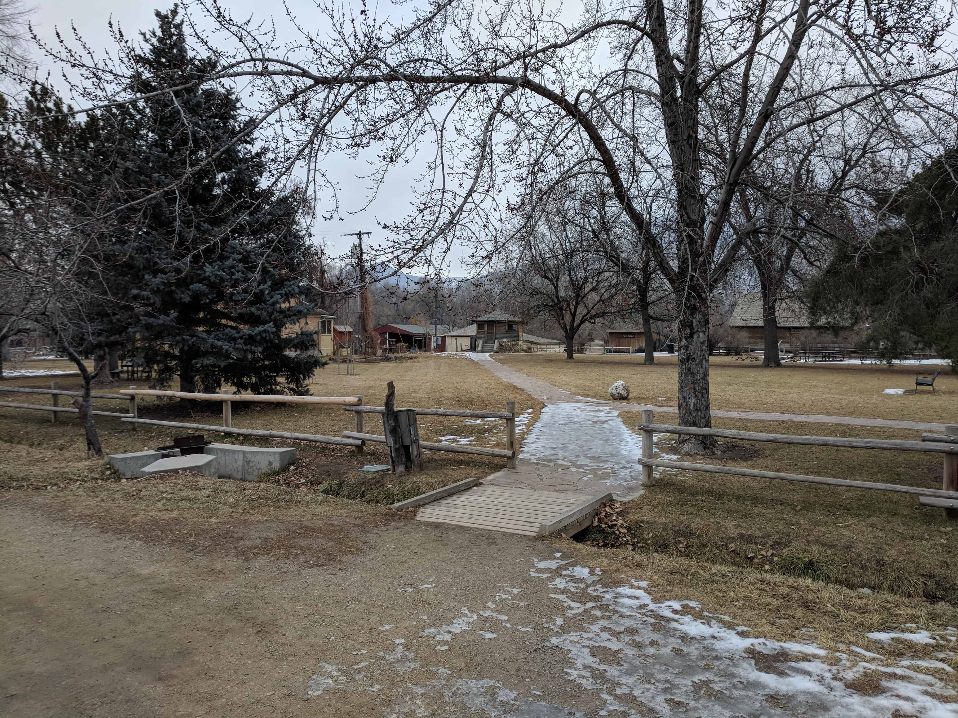
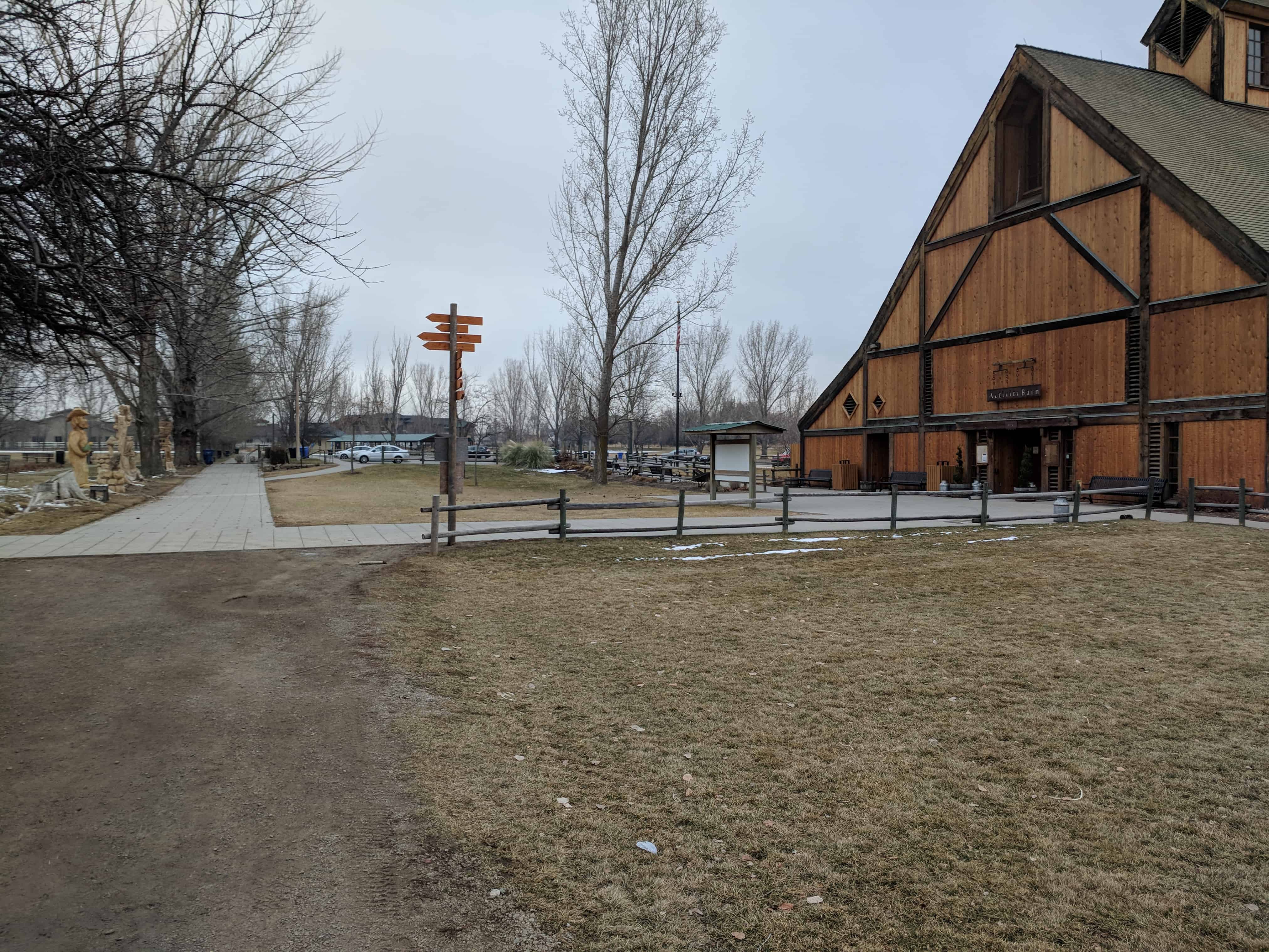
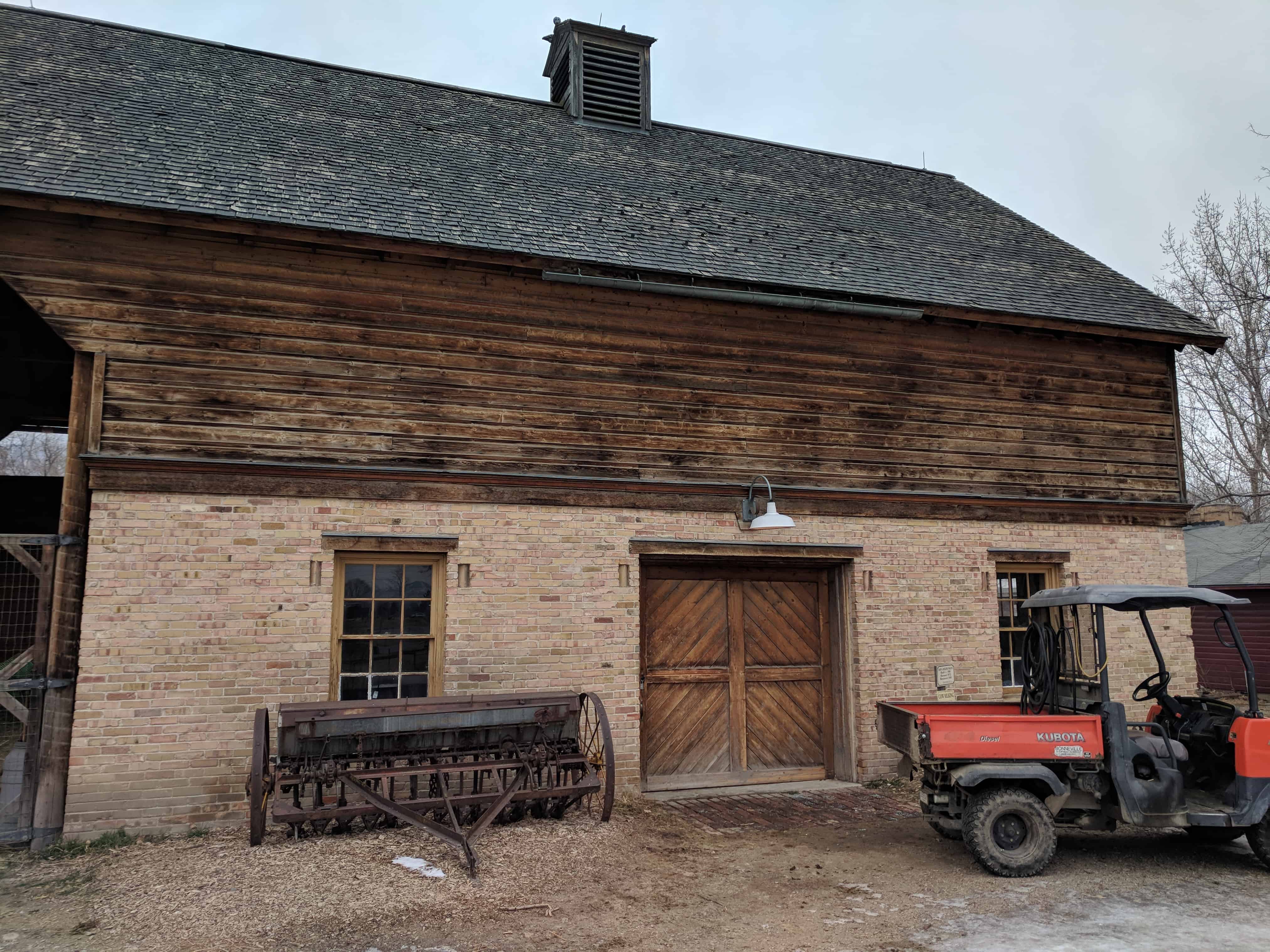
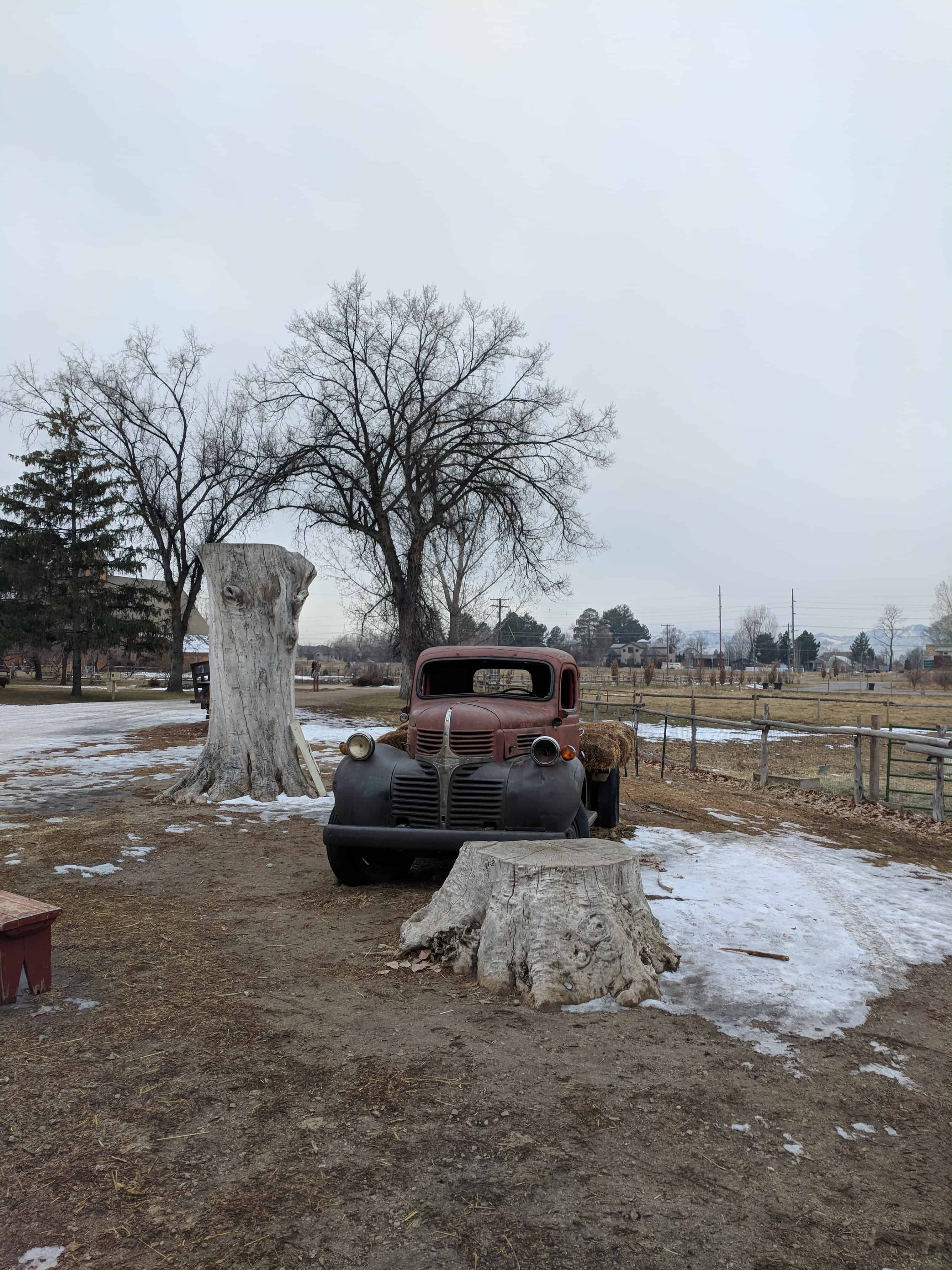
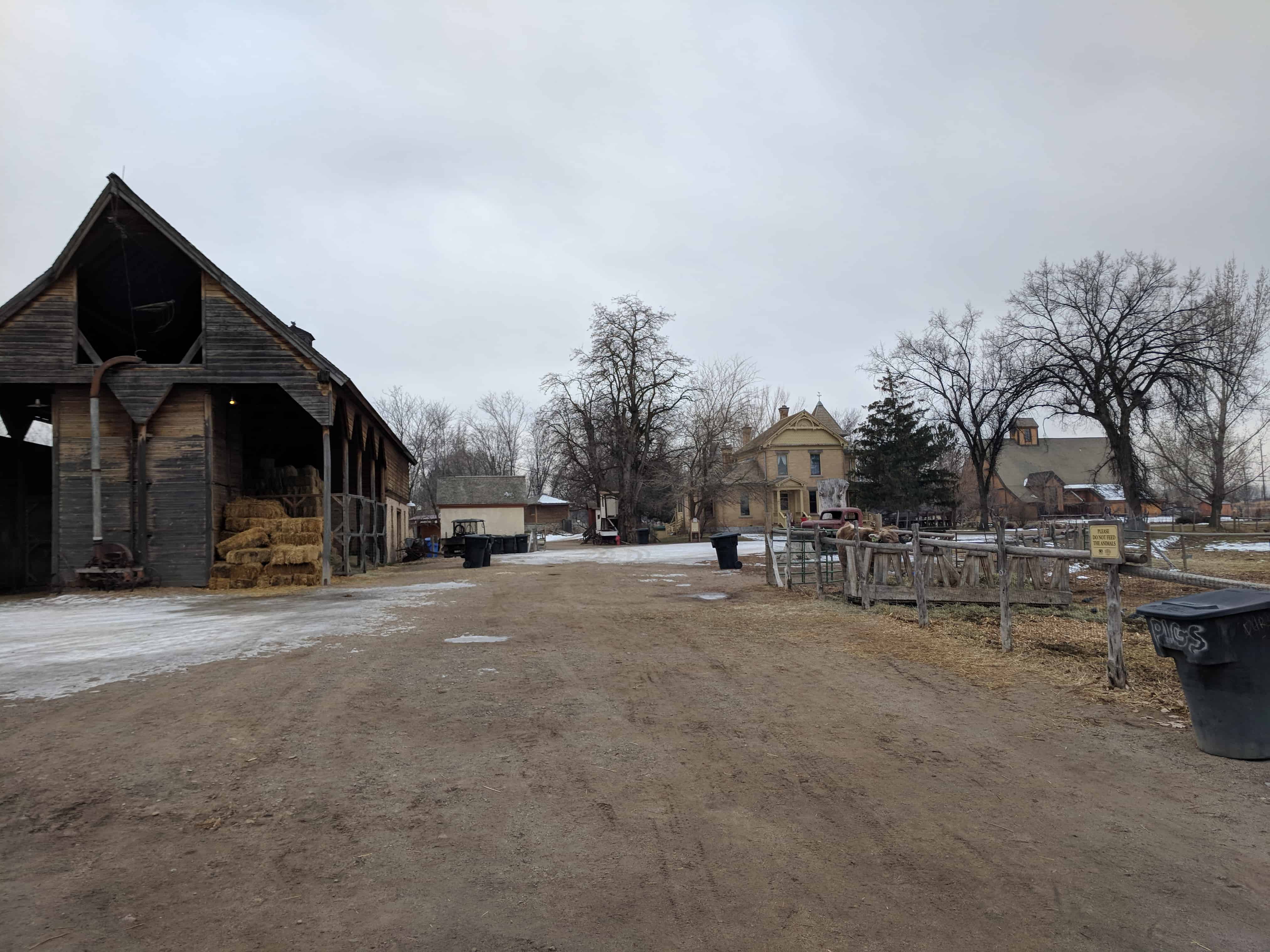
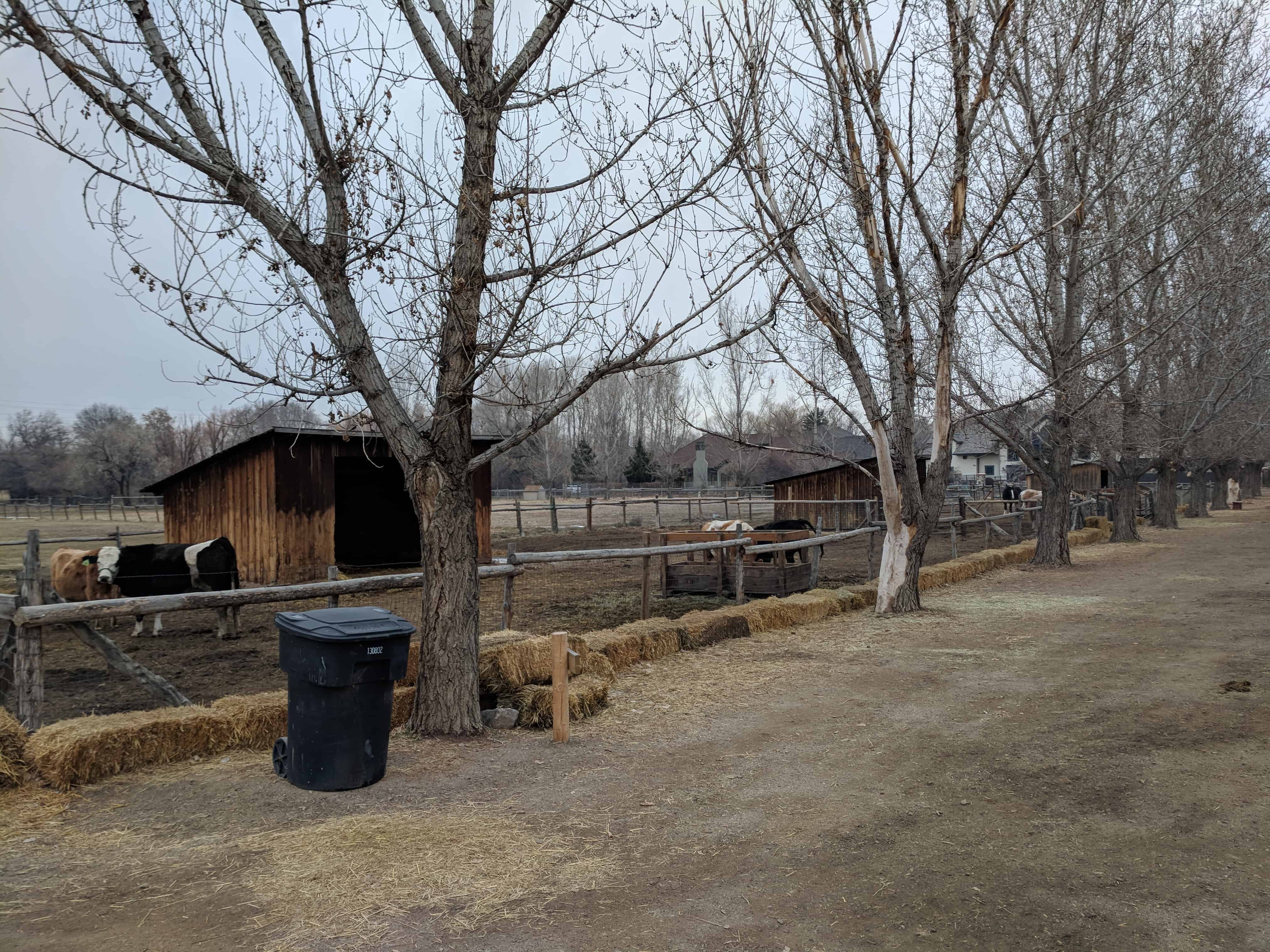
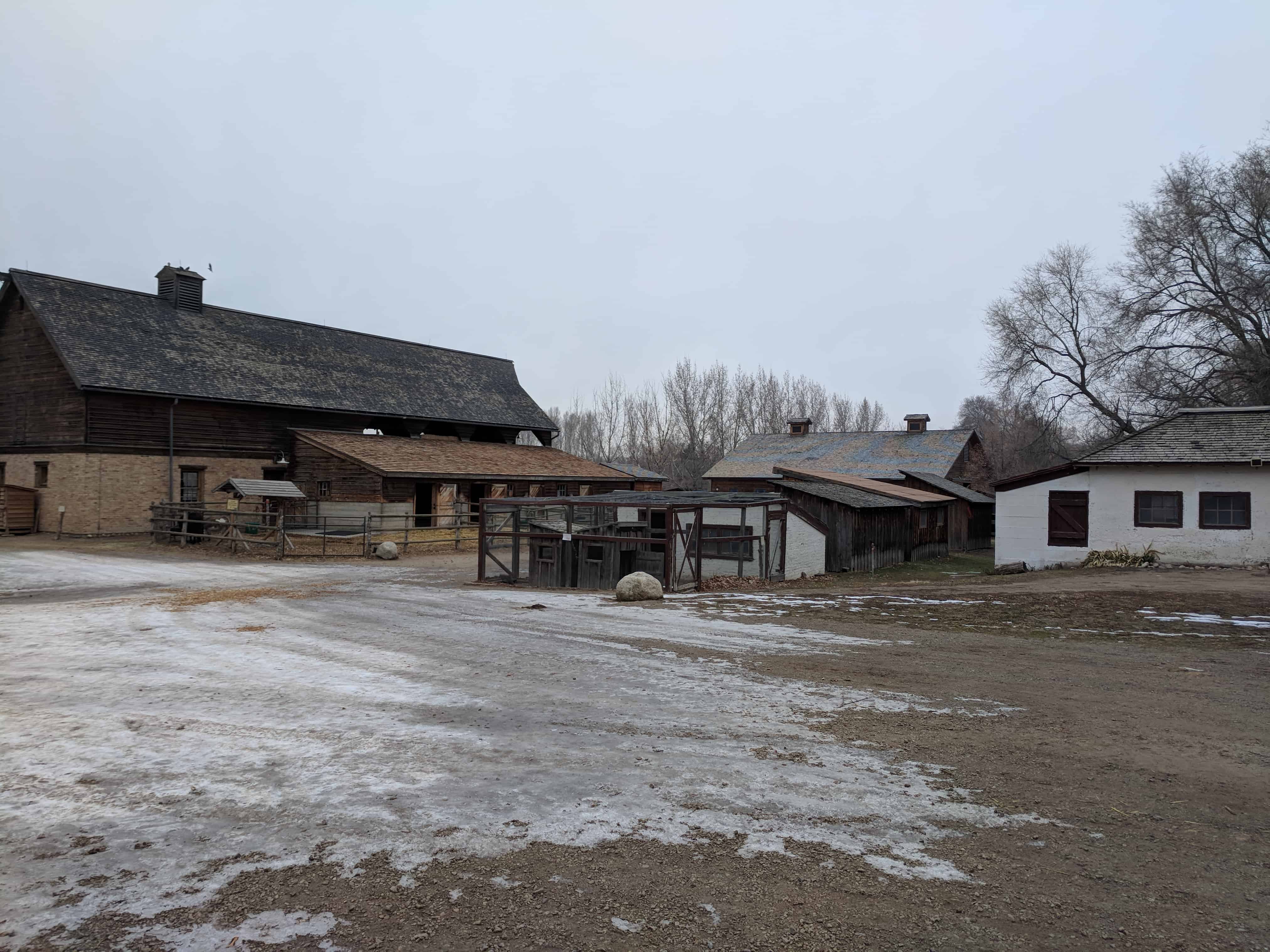
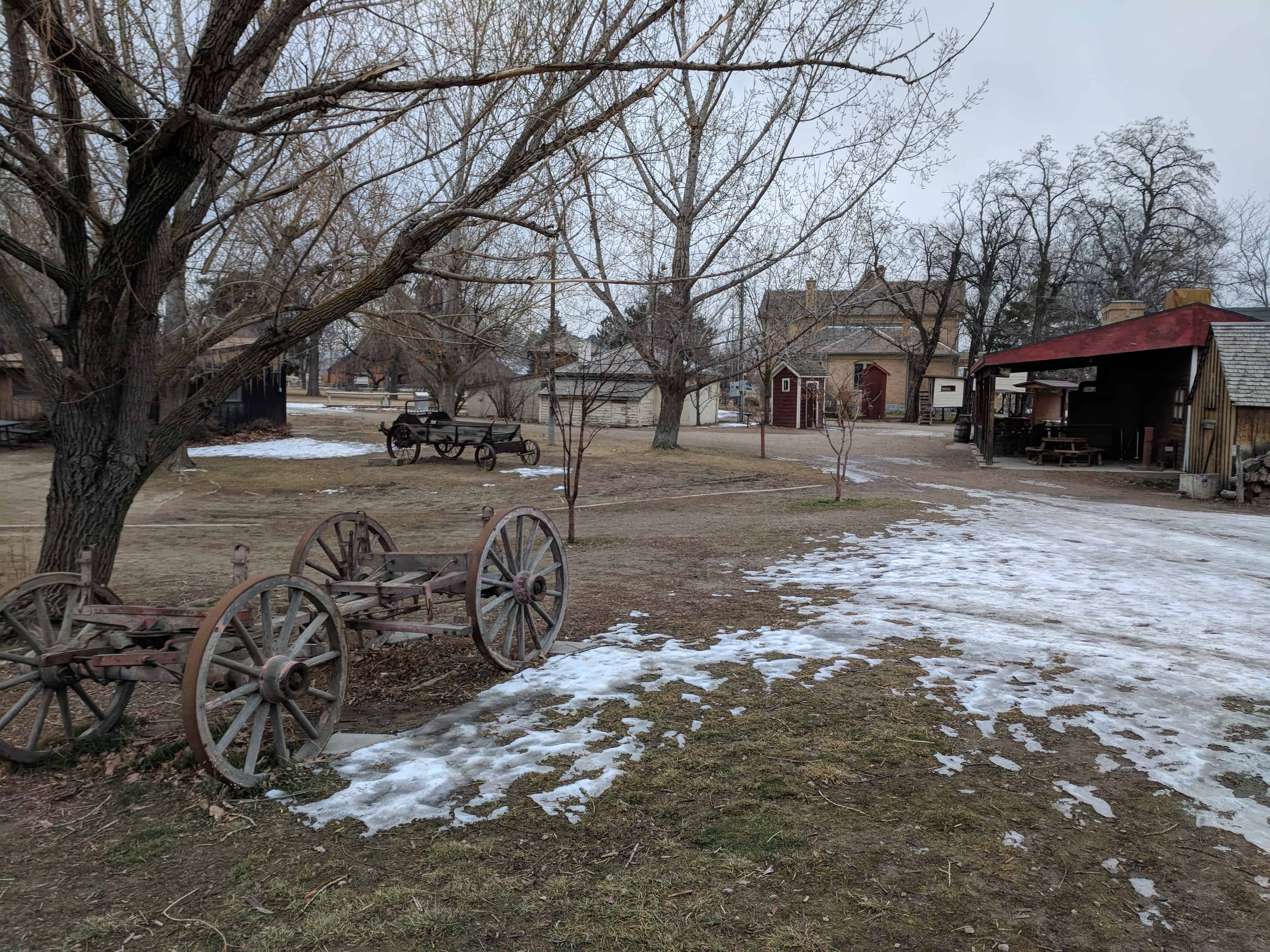
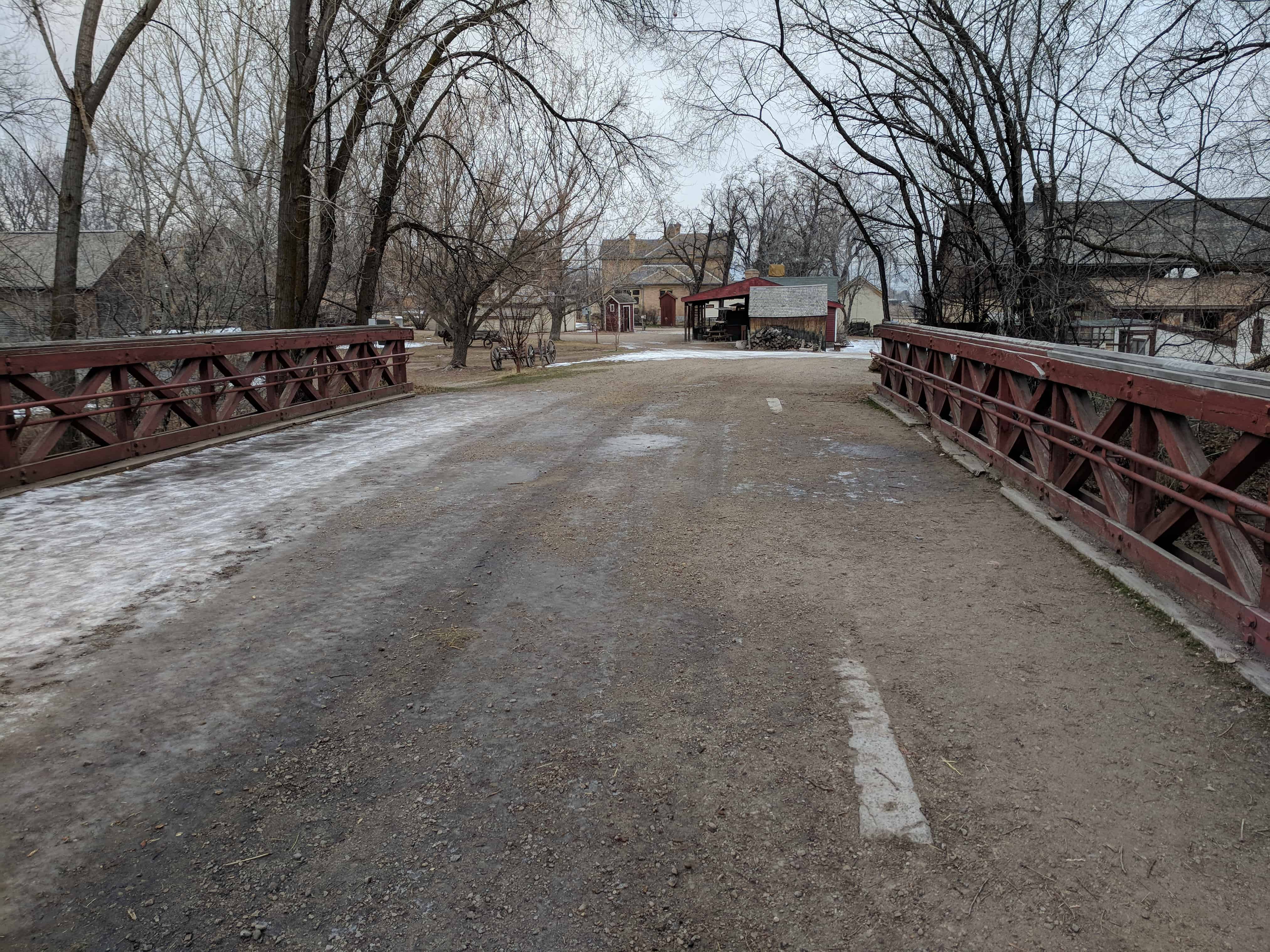
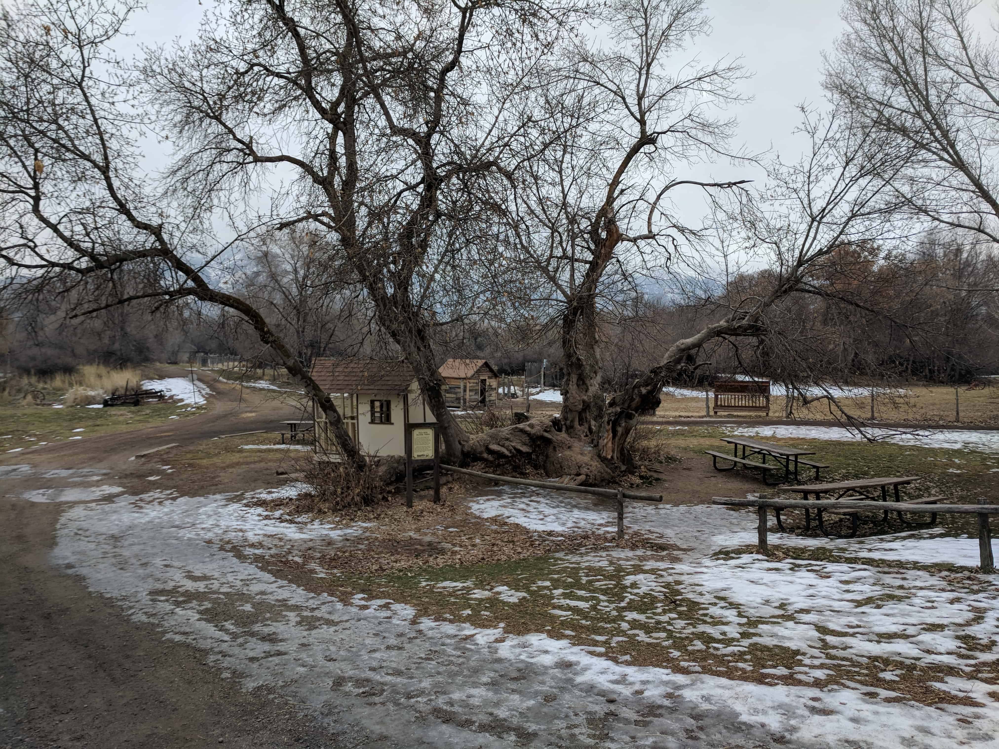
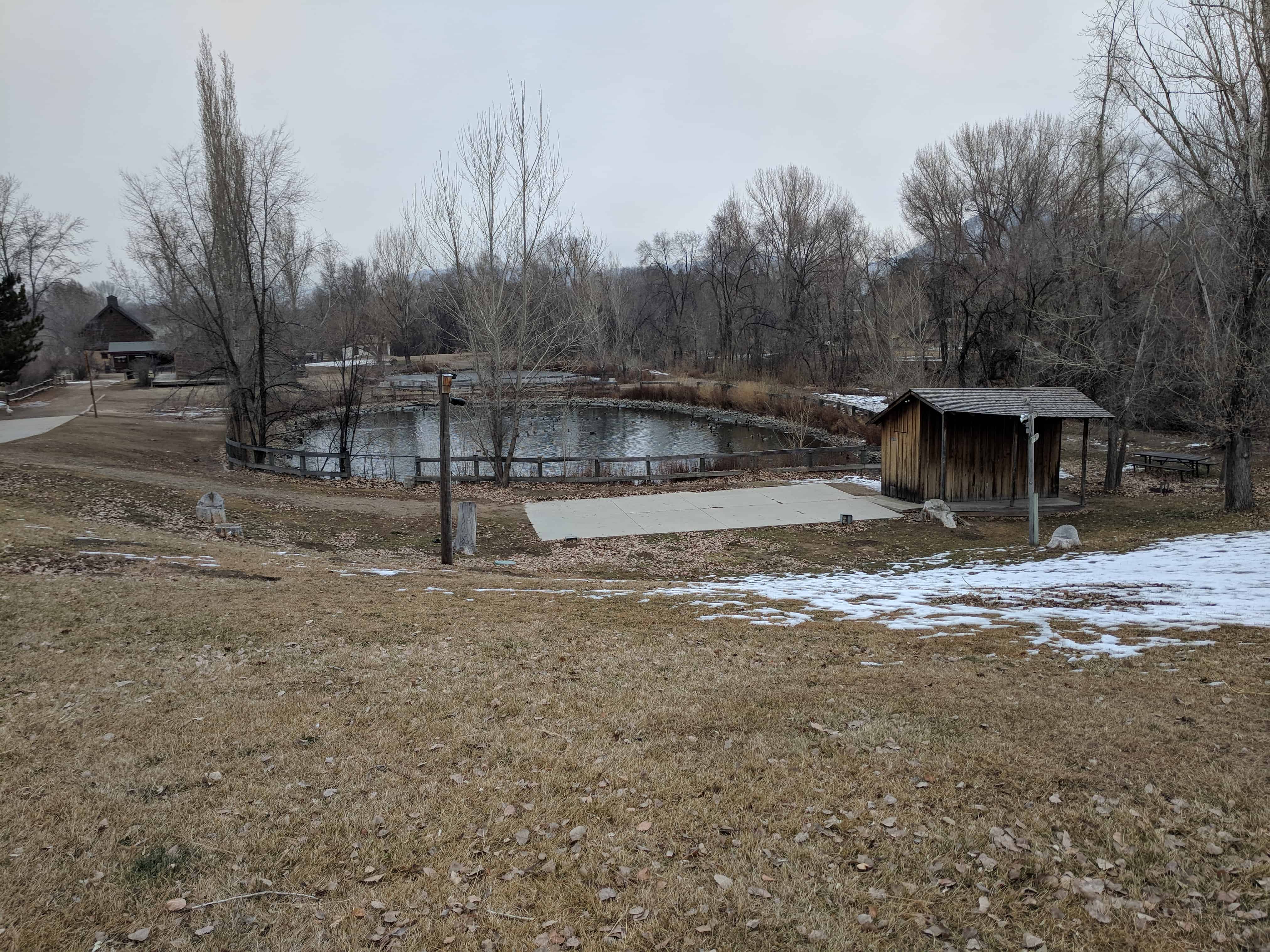
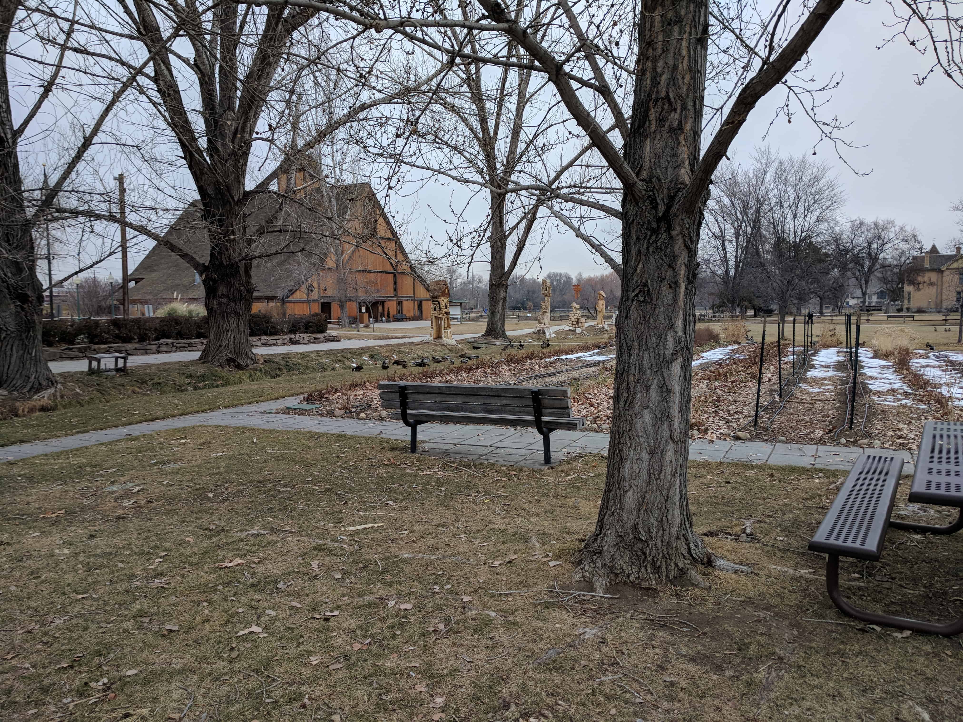
The Henry J. Wheeler farm is one of the few remaining turn-of-the-Century farmsteads in the Salt Lake Valley that has not been lost to the expanding housing developments of metropolitan Salt Lake City.
The farm was established by Henry J, feeler, the third son of English converts who journeyed to Utah in 1352 as converts to the Mormon Church, Born February 18, 1866, Henry grew up on his father’s farm in the South Cottonwood area, In 1886, at the age of twenty, he married Sariah Pixton and established his own farm in the vicinity of his father’s farm. The present brick home and several outbuildings were constructed in 1898 by Sid Gills and Hans Yorgensen, A Mr. Hayes, employed by the Sugar House Lumber Company, was the carpenter for the interior woodwork. The home, according to the 1902 publication, Biographical Record of Salt Lake City and Vicinity, “…was planned by Mrs. Wheeler and reflects great credit upon her knowledge of architecture, as it is not only homelike and convenient, but one of the prettiest little farm houses to be found in the county.”
The seventy-five acre farm is now owned by the Salt Lake County Recreation Department, who plan to develop the site as an early 1900 farmstead as a recreational and educational center for Salt Lake Valley’s school children.
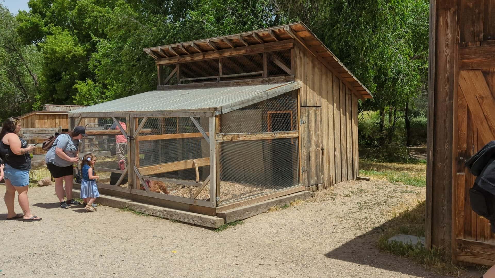
The farm, with its horde, outbuildings, corrals, fields,, wooded areas and stream, remains as the best preserved example of an 1890-1910 farmstead in Utah’s most populated county.
First Building Outside Salt Lake City for Religious & Education Instruction.
Located at the intersection of 300 East and Gordon Lane (about 4200 South) in Salt Lake.
Inscription reads: To commemorate the first building in the valley outside of Salt Lake City erected for the purpose of religious & education instruction.
A small cluster of historic markers, a wagon and a cabin are all located here in the back of an LDS Church parking lot.
SUP Historic Marker #33 – South Cottonwood Campground
This area, 56th South and Vine Street, known as South Cottonwood, was one of the early religious and social centers for the Church in the Salt Lake Valley. To the north of here about 600 feet was a campground used by the stone haulers for the Salt Lake Temple, the site being approximately halfway between the quarry and the temple ground.
Also, may it be remembered that for those sturdy men who struggled here; the summer heat, spring and fall mud, and inadequate equipment made the task difficult. But they prevailed.
This is located at the chapel parking lot at 5605 South Vine Street in Murray, Utah. Check out this page for links to other markers also located here.
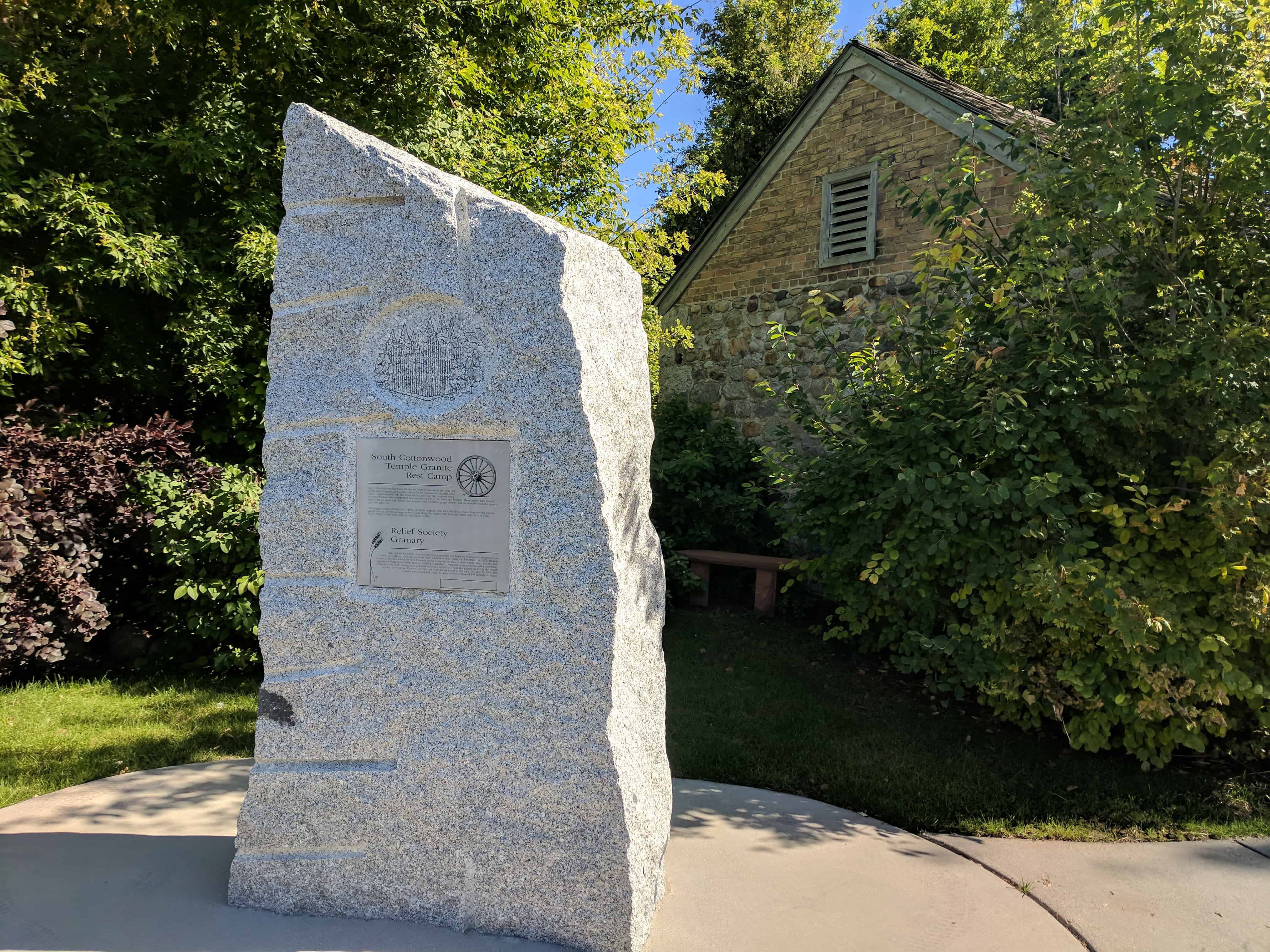
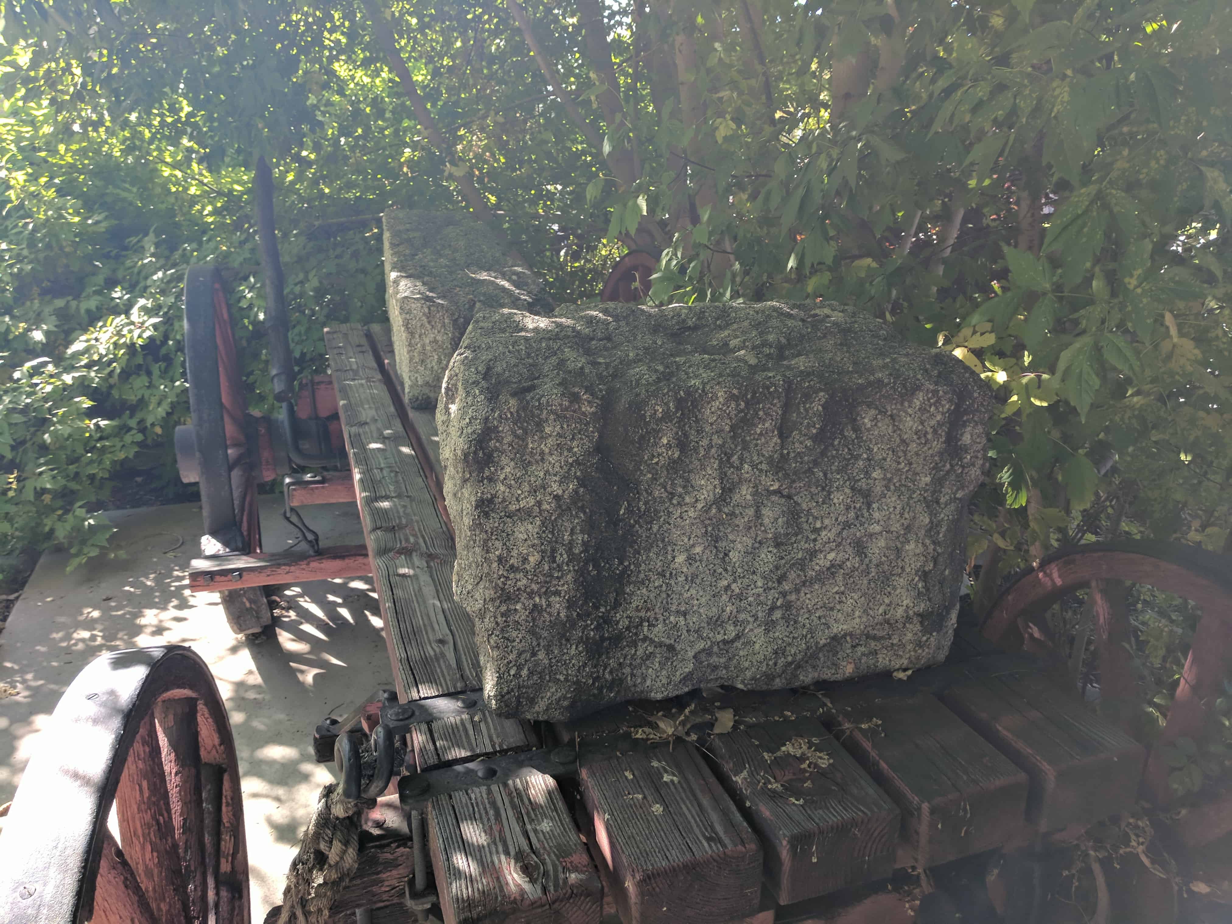
Since 1848 this area has been known as South Cottonwood and was one of the early religious and social centers of the pioneers in the Salt Lake Valley. Approximately 600 feet north of this site, was the campsite used by stone haulers who transported large granite blocks to the Salt Lake Temple. These sturdy men moved many tons of stone with horses and wagons until a narrow gauge railway was constructed for the quarry into Salt Lake City. The wagon displayed here is a replica of similar wagons used then. On it is a stone from the old narrow gauge railway as well as large stones found along the wagon trail, from the Sandy area farm of John Smart. Marks of the rock drill are still plainly visible.
Relief Society Granary
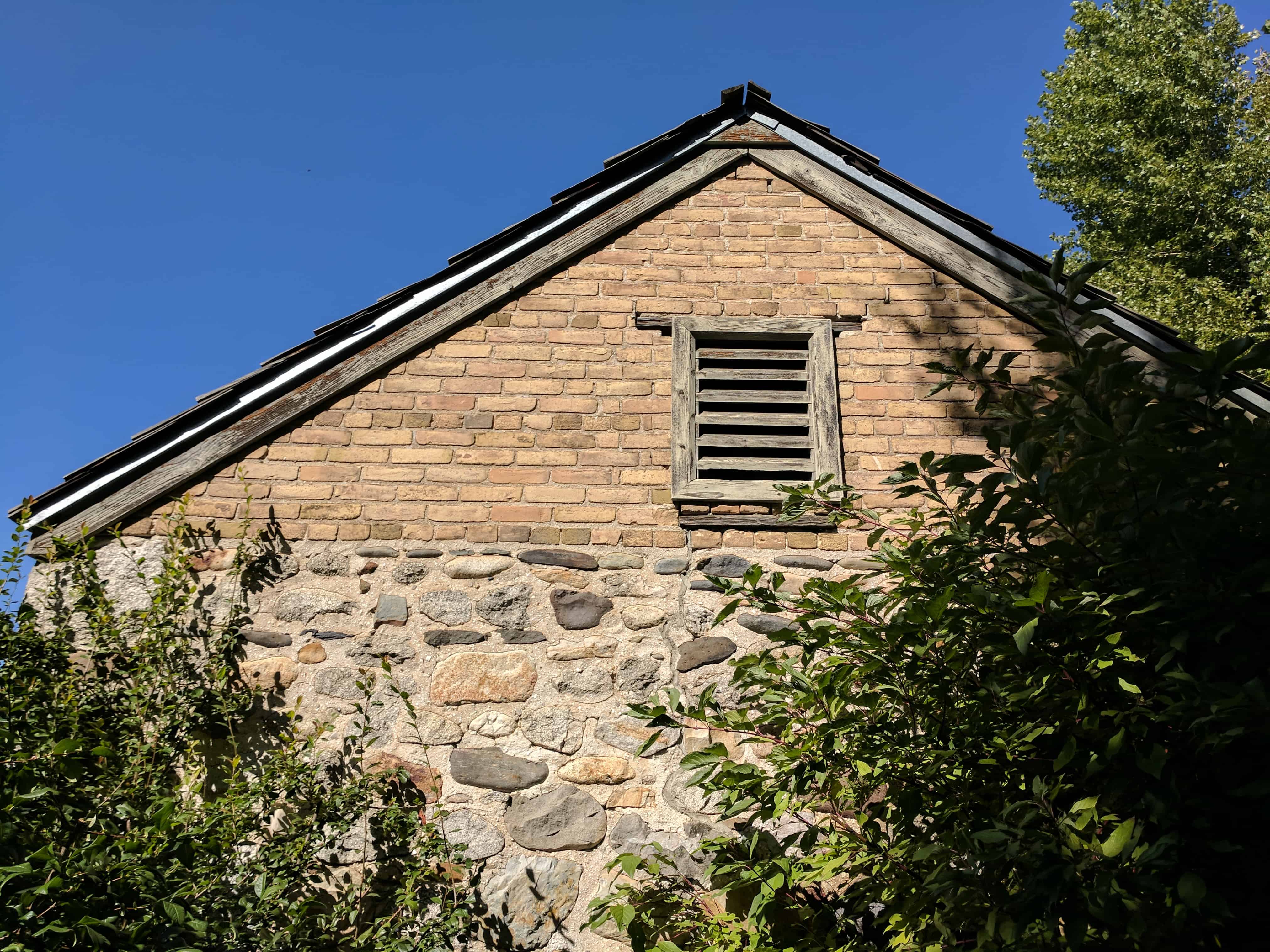
The old Rock Granary exterior has been preserved as closely to its original construction as possible. As early as 1845, the pioneers were advised to store grain. On December 14, 1876, Bishop Joseph S. Rawlins asked the Relief Society Sisters living in this area to store wheat. Mary Rawlins was appointed chairman of the Granary building committee. Donations were received and a temporary wheat bin was built. Young men gathered the rocks, much of it from the granite quarry at the mouth of Little Cottonwood Canyon, and the rest from stones found in this area. On May 17, 1878, this granary was completed, ready to store its first deposit of 195 bushels of wheat.
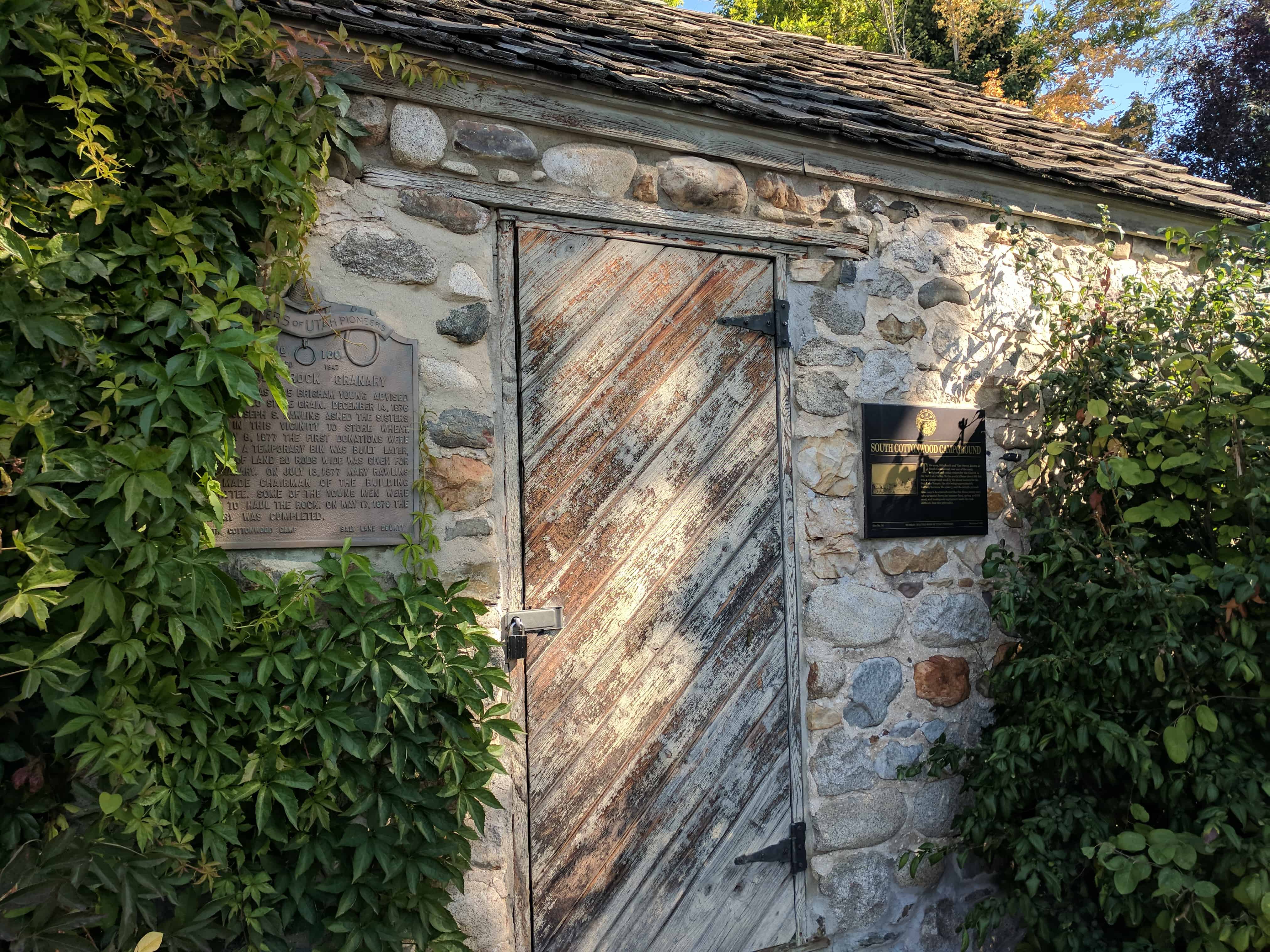
DUP Marker #100 – The Old Rock Granary
As early as 1845 Brigham Young advised the Saints to store grain. December 14, 1876 Bishop Joseph S. Rawlins asked the sisters living in this vicinity to store wheat. February 8, 1877 the first donations were received. A temporary bin was built. Later, a tract of land 20 rods wide was given for the granary. On July 13, 1877 Mary Rawlins was made chairman of the building committee. Some of the young men were asked to haul the rock. On May 17, 1878 the granary was completed. (see the page for this DUP Marker here)
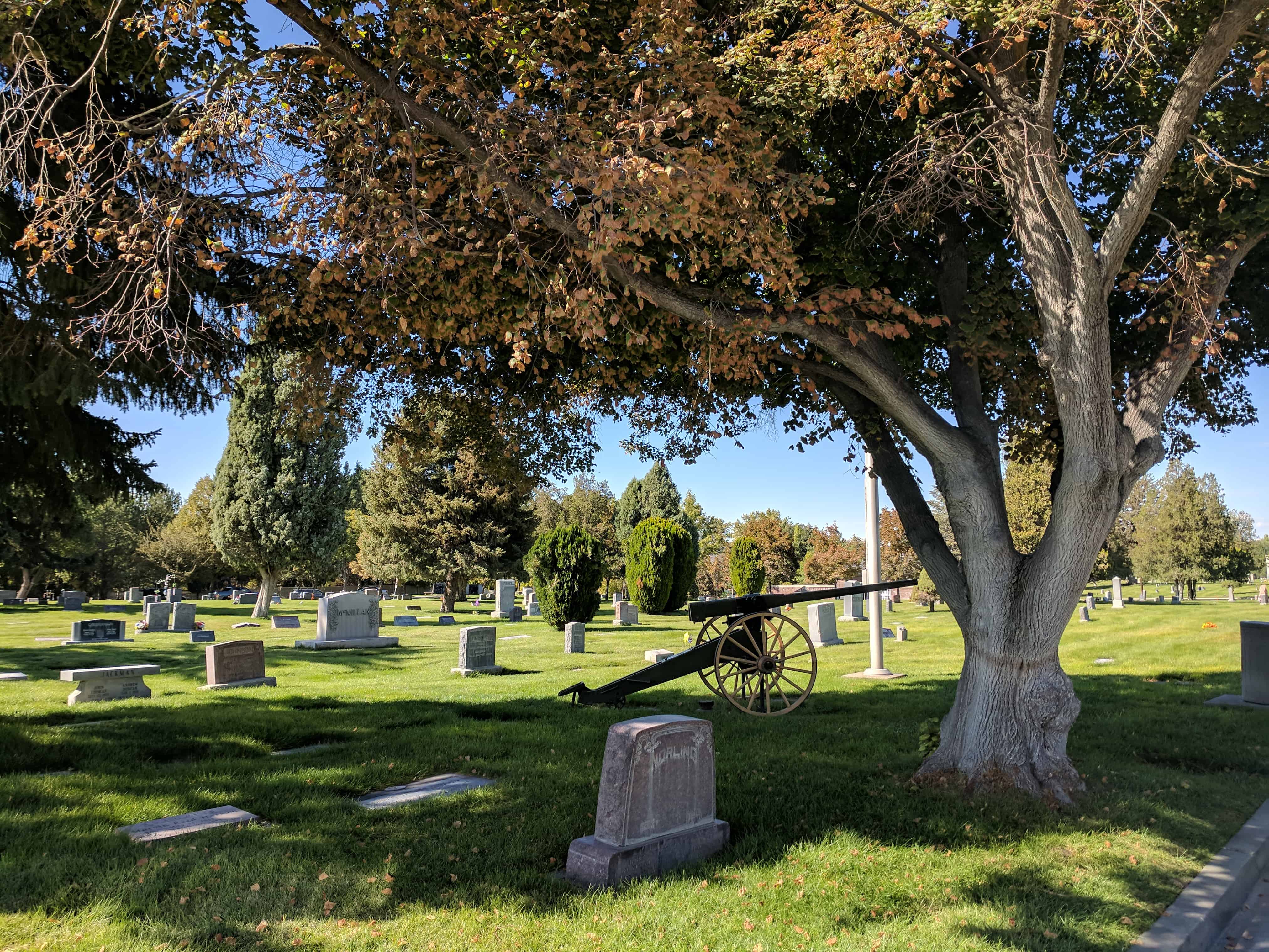
When Cahoon was born in 1834, his father, Reynolds Cahoon, asked Joseph Smith to give his newborn a name and a blessing. Smith gave him the name Mahonri Moriancumer Cahoon, explaining that although the name was not mentioned in the Book of Mormon’s book of Ether, it had just been revealed to him that Mahonri Moriancumer was the name of the brother of Jared. The Cahoon family came to Utah with the pioneers and eventually settled in the Murray area. The original wooden marker, which had deteriorated, was replaced with a permanent headstone.
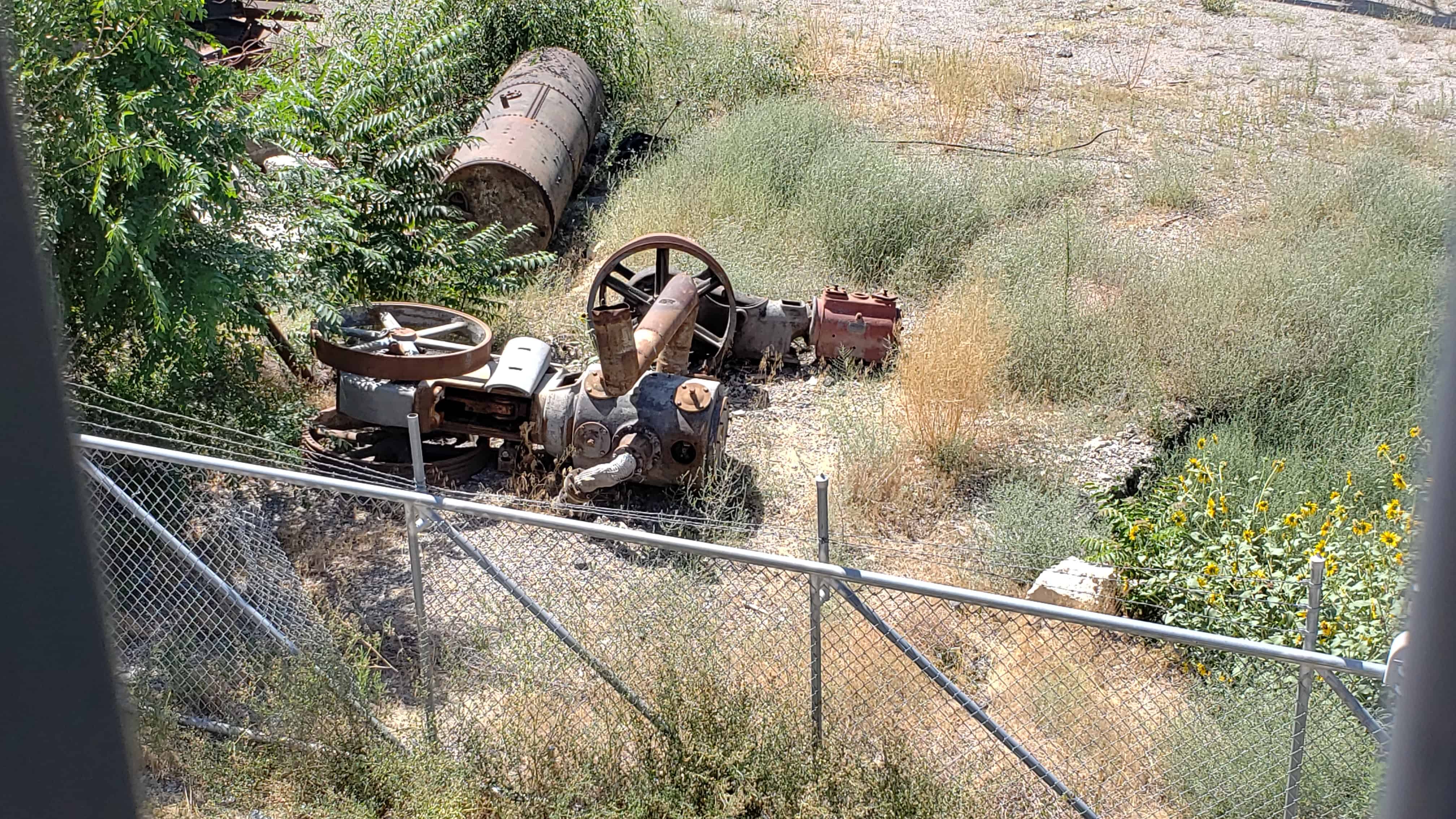
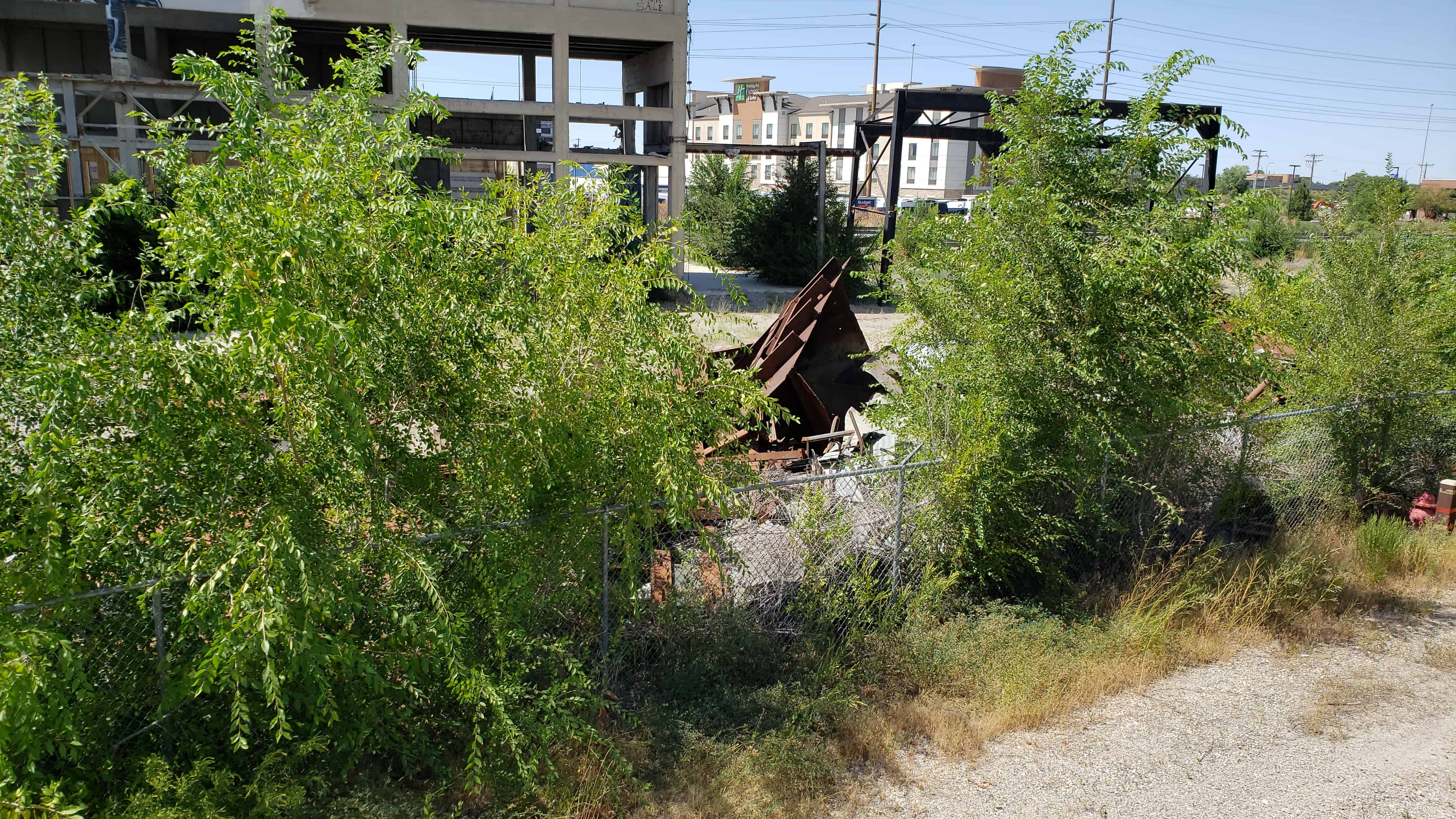
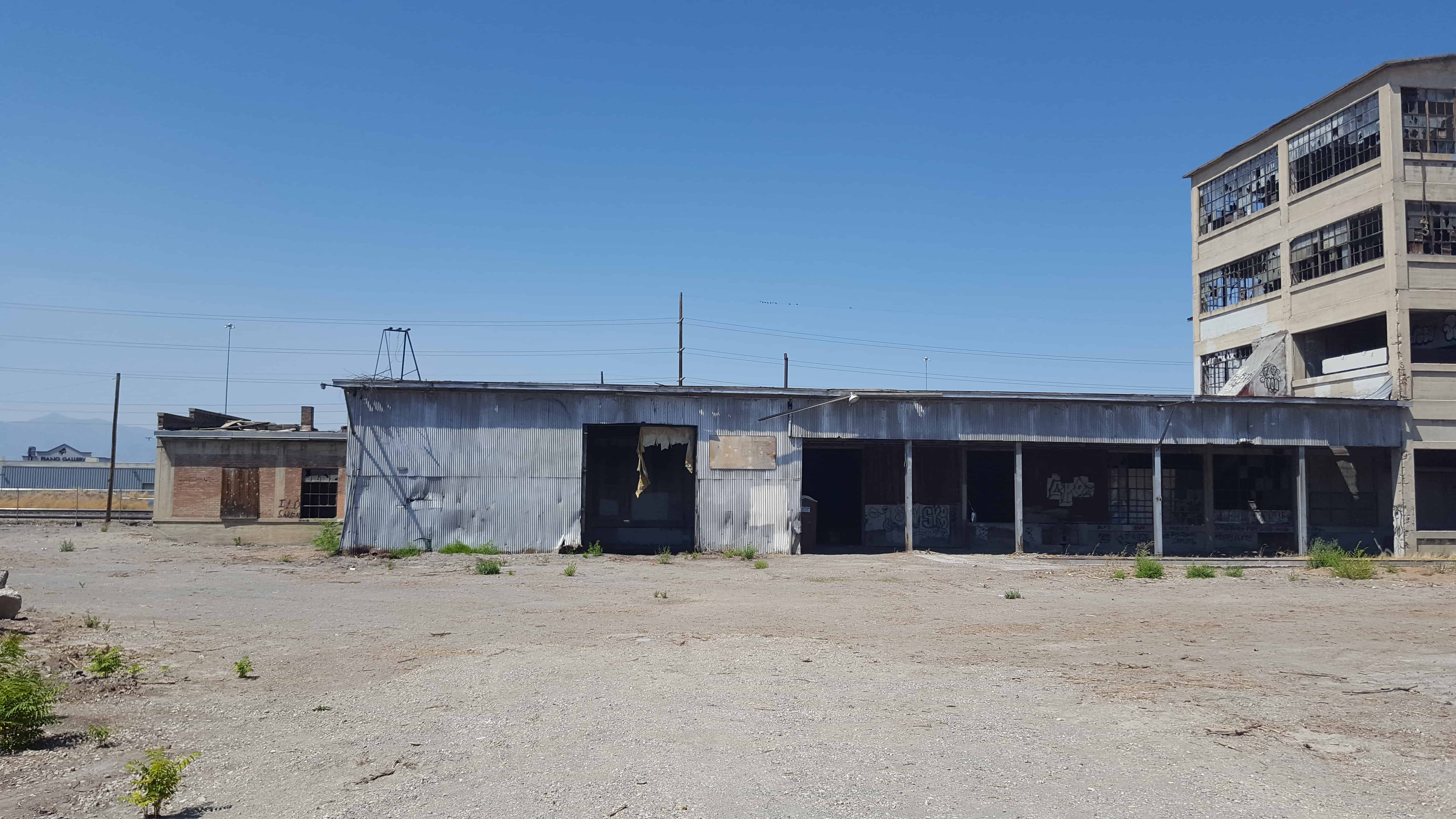
This is the old Utah Ore Sampling Company at the Pallas Yard.
Utah Ore Sampling Company built this sampler in 1909. Consolidated mining companies did their own sampling. This was the largest independent sampler between Missouri and California. After the ore was crushed and analyzed for content and quality, smelters decided on the basis of the samples, whether to buy larger quantities of the ore. Ore came here from all over the west. Most of the ores sampled here went to the ASARCO smelter for processing. The close proximity of the two plants allowed the railroads to treat them as a single destination for billing purposes. The large “Thawed House,” where loads of frozen ore were completely thawed before they were run through the sample plant, still remains. This mill was unique because it contained the only railroad spur that connected to both the Denver and Rio Grande and the Union Pacific Railroads. The company operated until the 1950’s, when the smelting industry in Murray ceased. (Salt Lake Valley Historical Tour, Ron Andersen, 1997)
News item about the Utah Ore Sampling Company closing its plant in Park City due to the larger plant in Murray going into operation. (Salt Lake Mining Review, Volume 19, number 1, April 15, 1917, p.33)
Article about the Utah Ore Sampling plant at Murray. (Salt Lake Mining Review, Volume 27, number 9, August 15, 1925, p.9)
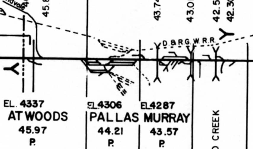
Utah Ore Sampling Company was constructed between the Union Pacific Provo Subdivision and the Rio Grande mainlines at 53rd South and 3rd West. UP had quite a sizable yard at Pallas (between 53rd South and 59th South) used to store and classify cars for the Sampler and the large Murray and Midvale smelter complexes. The Rio Grande always referred to this location as Sampler long after the facility was closed. (James Belmont, February 5, 2008)
Utah Ore Sampling Company was an independent third party that assayed the mineral content, and amount of ores shipped from mines to smelters. They got their start in Park City, at a joint trackage location between UP and D&RGW inside UP’s wye. That location closed in 1917 when the Murray plant was built, and the existing structure was built in 1925 to expand on the original operation. There is a nice article in the August 15, 1925 issue of Salt Lake Mining Review.
The ore we are talking about is known as galena, a mix of lead and silver ore, with lots of other bits like zinc, cadmium, antimony, arsenic and bismuth, thrown in just to make the lives of smelter men interesting. Galena is the principle silver ore in the western U.S. Every load of ore, usually in classic GS gondolas, was different and the smelters needed to get the proper mix of ores and flux-ores to make each smelter run as economical as possible.
As the rail cars from the various mines from all over the west, but mostly from Utah and Idaho, arrived at the Murray/Midvale smelting complex, the loaded cars had to be “sampled” to determine the mix of ores in each load. The trackage at the Utah Ore Sampling Company was jointly owned and operated between UP and D&RGW, as well as portions of the trackage at Pallas itself.
As loads of ore arrived, they were switched to the sampler where samples were taken. The cars were then switched to Pallas to be held and used as each car’s particular mix of ore could best be used. UP kept a full time switcher and crew at Pallas, as did D&RGW at Midvale. If I recall, the two roads cooperated heavily in the movement of in and around Murray and Midvale. I would guess that at any one time, there would not be more than 50-60 cars in the Pallas yard. But like everything else with Utah railroads, there is much yet to be researched.
As can be seen, the trackage was still extensive even in this 1985 version. I’ve seen earlier track maps, and there was a lot of tracks in the area. There were lots of spurs to the 10 or so big and small smelters in the middle of Salt Lake Valley, which from 1900 to about 1920, was the smelting center of the western U.S. It would be an interesting subject to model, especially if you throw in the inbound coal in Utah Coal Route GS gons, and the outbound loads of lead and silver.
A side note from today is that UTA’s TRAX lightrail uses the old UP spur from Atwoods just south of Pallas, to get to its shops at Midvale, by way of an undercrossing under the D&RGW mainline. UTA will also use the old UP line to Midvale to get from its shops to the old D&RGW Bingham Branch to extend light rail all the way west to Daybreak.(*)
Three Bedrock units are visible on the north side of, and in Little Cottonwood Canyon :
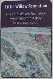
Little Willow Formation
Little Willow Formation
The little willow formation is approximately 1.7 billion years old, making it the oldest rock in the Salt Lake City area. The highly metamorphosed rock consists primarily of intensely contorted quartz schist and gneiss intruded by igneous rocks that have been altered to amphibolite and chlorite schist.
Big Cottonwood Formation
Big Cottonwood Formation
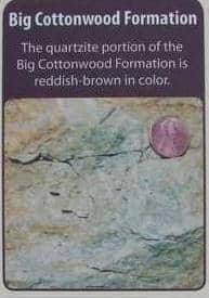
One billion to 850 million years old, the Big Cottonwood Formation is a low-grade metamorphic rock that consists of reddish-brown quartzite and black to purple to green shale, argilite, and slate. Originally deposited along the shoreline of an ancient sea, ripple marks and mud cracks are still preserved in this rock.
The rock on the north canyon wall is easy to distinguish from the adjacent light gray “granite” father up the canyon.
Little Cottonwood Stock
Little Cottonwood Stock
This igneous rock is quartz monzonite, or more generally called granite. Between 32 and 31 million years ago, magma pushed up through the crust into overlying rock layers and then cooled and solidified before reaching the surface. Quartz monzonite is composed of plagioclase, quartz, orthoclase, biotite, and hornblende.
Popular for rock climbing, this light grey granite rock makes up most of the canyon walls.
The first use of the Cottonwood Heights name occurred in 1937 when J.D. Fife, Sr., a Butlerville resident, so named his proposed subdivision. The name was officially adopted in 1953 by the newly organized Cottonwood Heights Community Council.
Murray City, originally known as South Cottonwood, lies eight miles south of Salt Lake City between Big and Little Cottonwood Creeks. It is named for Eli Murray, territorial governor from 1880 to 1886. Although first settled in 1849, Murray was not incorporated until 1902. Its central valley location and plentiful water have allowed Murray to evolve from an agricultural to industrial to suburban community.
Murray was settled as part of the initial expansion south of Salt Lake City. Early residents in the area divided the grasslands south of Salt Lake into homesteads or parcels where they raised cattle and cereal grains. Most of the cattle provided dairy products, while wheat, corn, and some rye were grown to feed the family and animals.
Construction of the Woodhill Brothers’ smelter in 1869 initiated Murray’s industrial history. Murray produced the first silver bars smelted in Utah in 1870. The smelters continued to dominate the local economy until the close of the ASARCO lead smelter in 1950. Business and commercial enterprise prospered along with the smelter industry. Murray was praised as a shining example of cooperation between business, industry, and government early in the twentieth century; it was hailed for its own water plant, lighting system, smelter, canning factory, flour mills, and brickyards.
The Pony Express Epoch began simultaneously April 3, 1860 with riders starting at St. Joseph, Missouri, and San Francisco, California. It was a 1,966 mile journey and reduced the time of transmitting news across the country from approximately 21 to 10 days. Nearly one hundred stations were established. This spot marks the first station south of Salt Lake City. It was a small adobe building known as Travelers’ Rest. Here riders exchanged horses and received needed repairs, food, or lodging. With the inception of telegraph the Pony Express was abolished in October, 1861.
Our D.U.P. Pony Express Monument originally stood at 6460 South State Street where it was demolished in a car accident. Plans for the building of an interstate highway at that location made it necessary to erect a new monument here.
Check out all of the historic markers placed by the Daughters of Utah Pioneers at JacobBarlow. com/dup