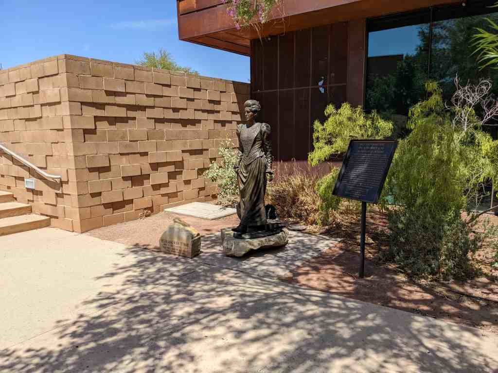
Helen Jane Wiser Stewart
April 16, 1854 – March 16, 1926
“The First Lady of Las Vegas”
“It will only be for two years,” Archibald promised his wife Helen in 1882, coaxing her away from civilized Pioche, Nevada to a ranch in the middle of the desert. Two years later, Helen buried Archibald after he lost his life in a gun fight at the nearby Kiel Ranch. Helen stepped out of her traditional role as wife, mother, and homemaker, to take over the “Los Vegas Rancho.” Helen never looked back. She expanded the ranch to nearly 2000 acres, and became one of the largest property owners in the Las Vegas valley. Helen sold 1835 acres of her property to the San Pedro, Los Angeles, and Salt Lake Railroad in 1902 for $55,000. She kept some land for herself and donated 10 acres to the local Paiute Tribe. Helen was indeed a woman of “Firsts” – first postmaster in the valley – first woman in Las Vegas to serve on a jury – first woman to serve on the Clark County school board. As a founding member of the local Christ Episcopal Church and the Mesquite Club, and a Red Cross activist, Helen shaped early Las Vegas into a vibrant community. Local leaders shut down the city of Las Vegas during Helen’s funeral in honor of her pioneering spirit.
Generous support for the statue in thanks to
Las Vegas Centennial Commission
Friends of the fort
Southern Nevada Women’s History Project
Nevada State Parks
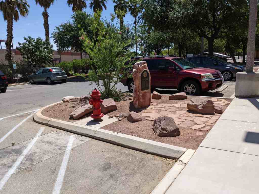
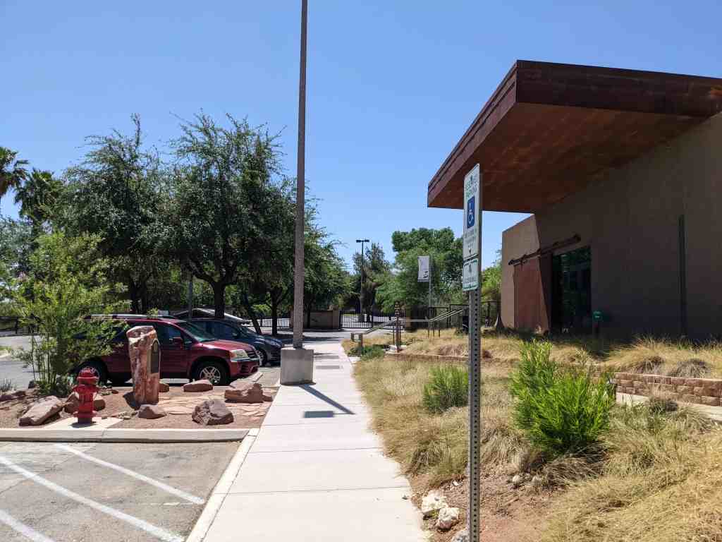
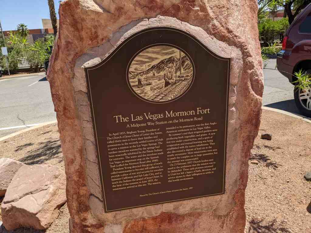
Located at Old Las Vegas Mormon Fort State Historic Park at 500 E Washington Avenue in Las Vegas, Nevada