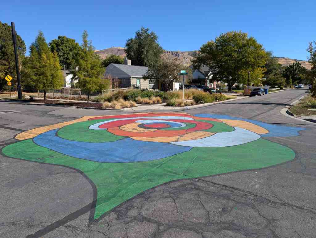
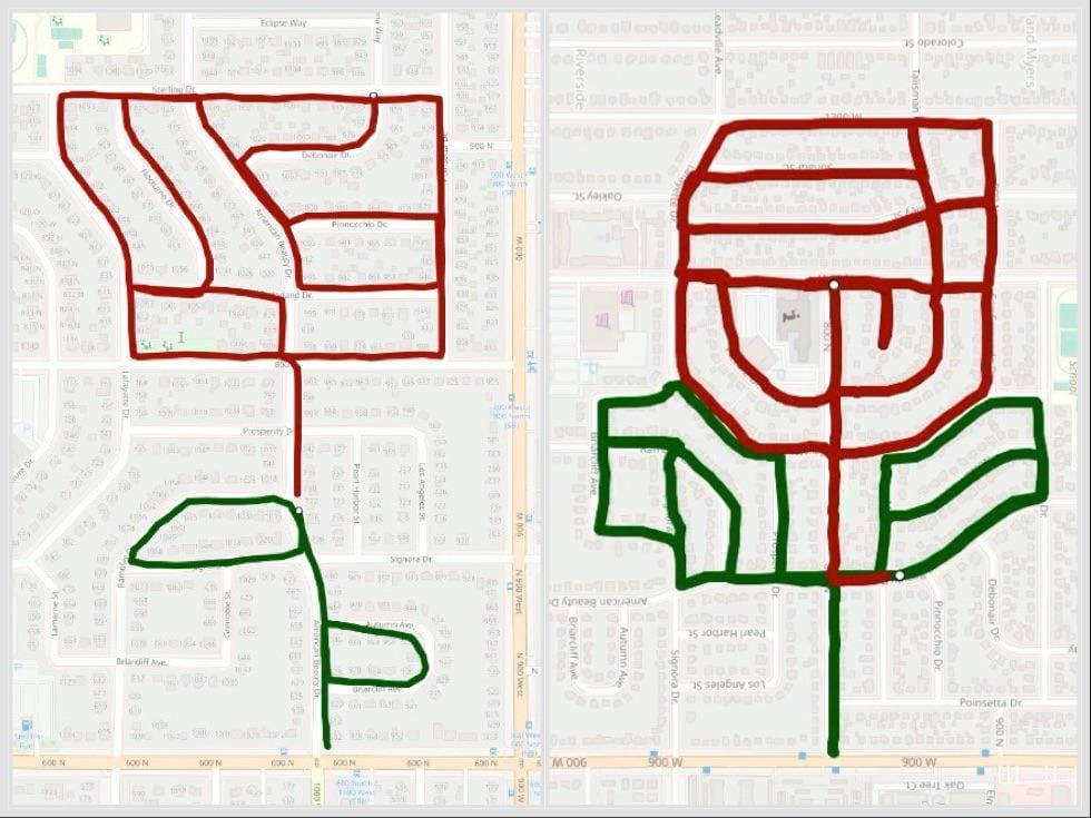
The Rose Park Neighborhood is a post-World War II development whose name comes from the area’s original developer, Alan E. Brockbank. Brockbank designed the streets layout to look like a rose when viewed from the air, with American Beauty Drive acting as a long rose stem.*
Rose Park: A Historical Overview (by Preservation Utah)
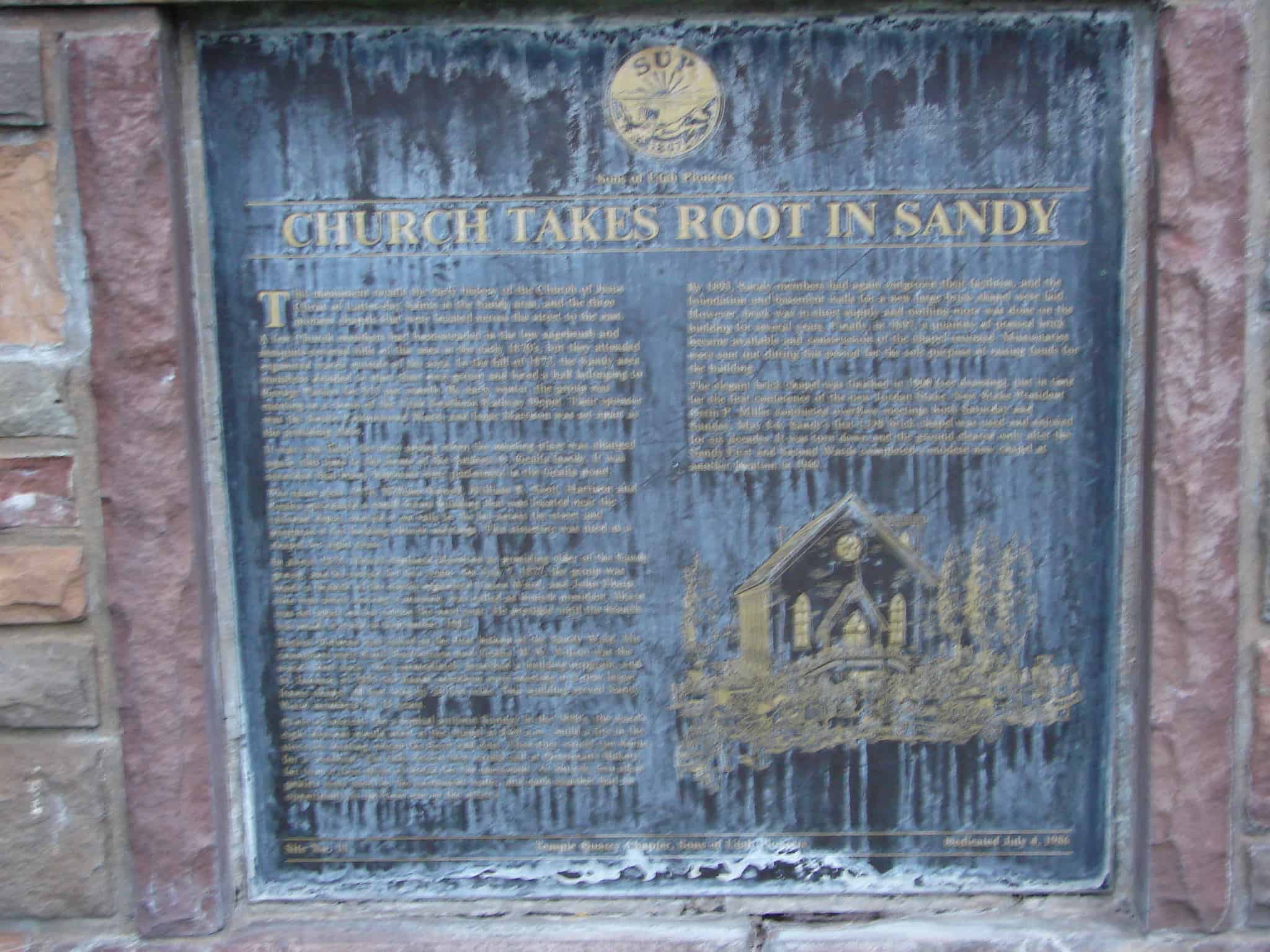
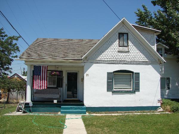
The Rose Park neighborhood began development in 1947, marking a significant chapter in Salt Lake City’s urban history. Four independent contractors- Edward Holmes, Howard Layton, Stayner Richards, and Alan E. Brockbank- orchestrated the original development, resulting in one of the city’s largest concentrations of affordable postwar housing. Characterized by small, simple brick and frame houses, Rose Park’s homes were designed to qualify for Federal Housing Administration loans, particularly benefiting returning veterans. This neighborhood is a testament to intentional community planning efforts that shaped suburban living in the postwar era.
The 1947 development plan was ambitious, laying out a ten-year vision that included high-density senior living, duplex rental units, a shopping center, churches, schools, and parks. Additionally, the planners embraced the newly proposed 1-15 freeway system, integrating it into the neighborhood’s layout.
Departing from Salt Lake City’s traditional grid, Rose Park’s streets were famously replatted into curvilinear roads. These roads were designed to evoke the shape of the neighborhood’s namesake flower, breaking up the monotony of the simple housing designs. Each street was named after a popular rose variety of the era, adding to the neighborhood’s unique charm.
Landscape architecture was a fundamental part of Rose Park’s initial development. Each street was assigned a tree variety to create a canopy, which has largely survived and now represents one of the densest tree covers on Salt Lake City’s westside. This thoughtful design has made Rose Park not just a place to live but a vibrant, cohesive community.


Places documented in Rose Park – sorted by address:
1000 North
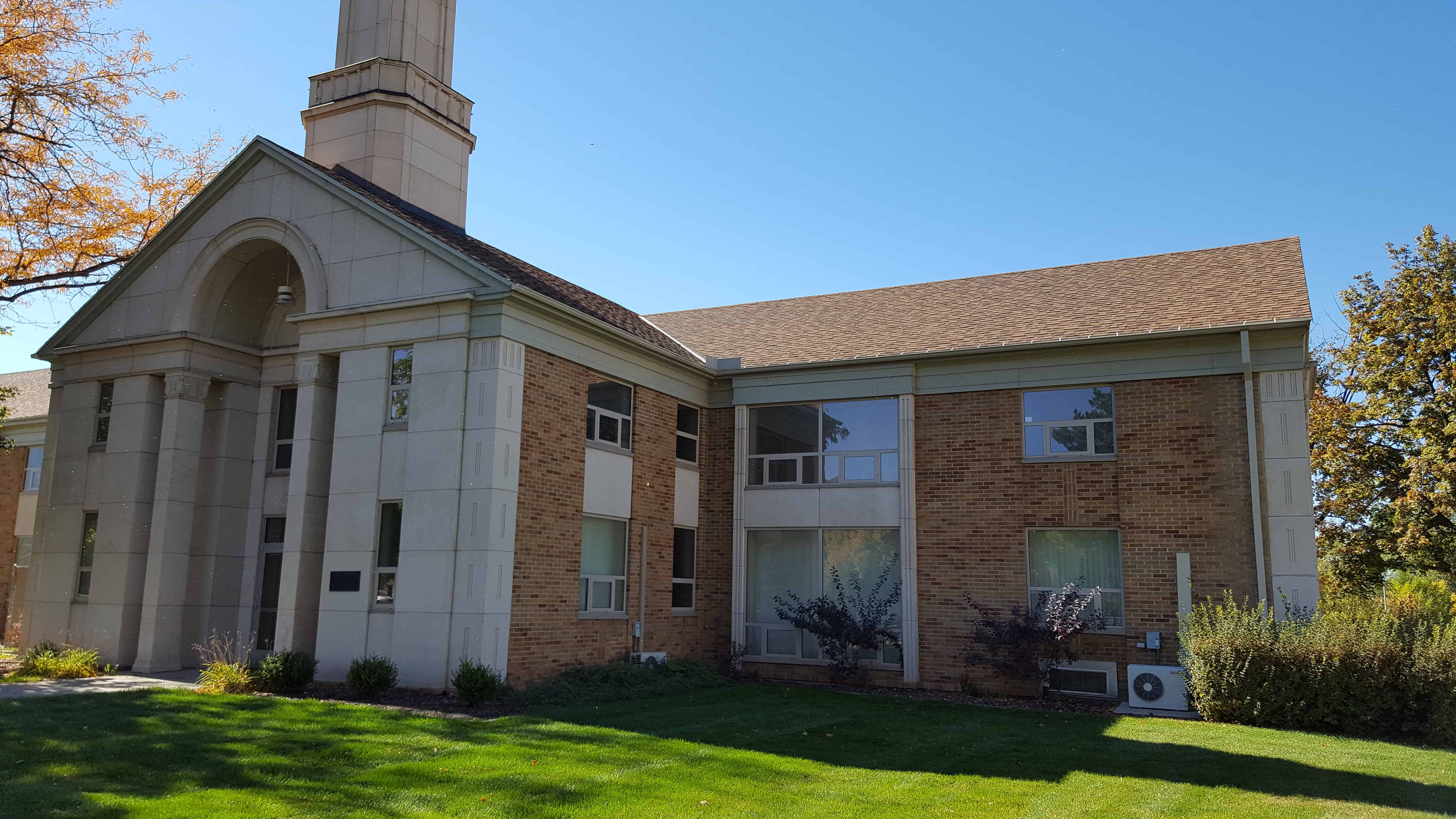
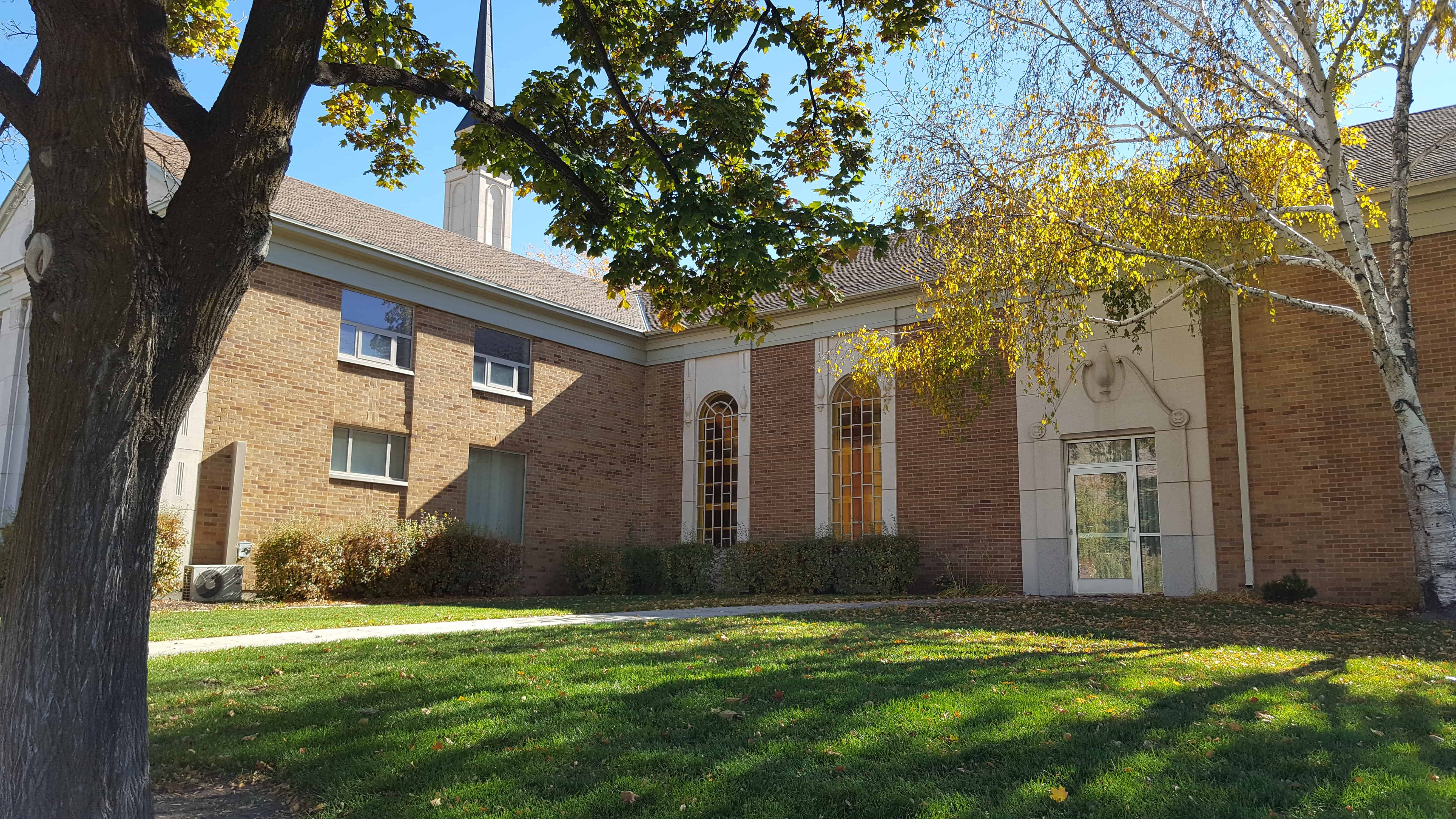
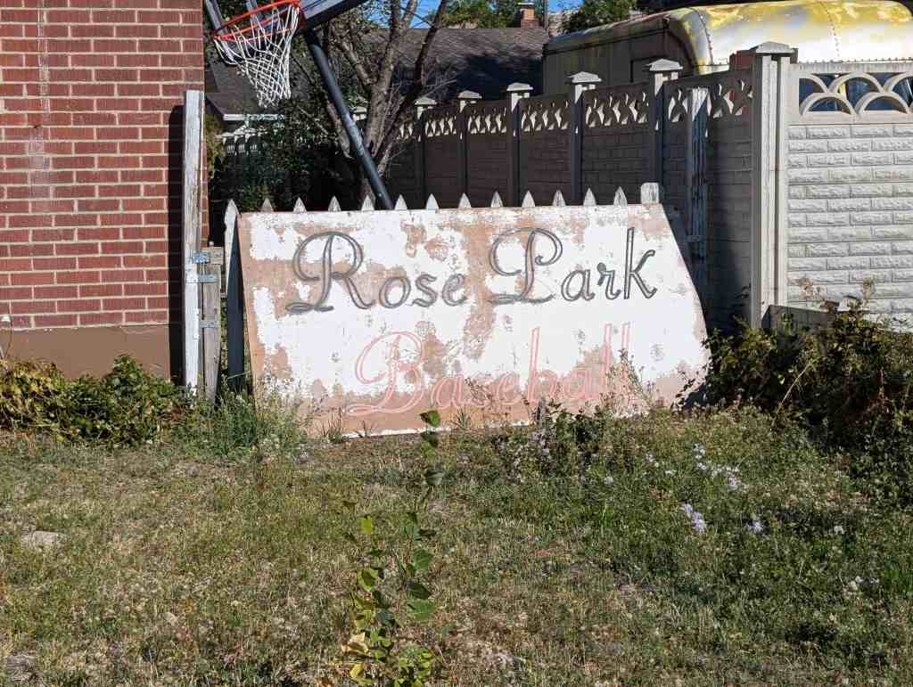
- 1105 W 1000 N – Rose Park Elementary
- 1021 W 1000 N
- 1017 W 1000 N
- 1009 W 1000 N
- 1003 W 1000 N
- 999 W 1000 N
- 991 W 1000 N
- 985 W 1000 N
- 979 W 1000 N
800 North
- 1100 W 800 N
- 1050 W 800 N – Joseph F. Steenblik Park
- 1026 W 800 N – Harold and Margaret Tomlinson Home
- 1025 W 800 N
- 958 W 800 N
- 946 W 800 N
- 937 W 800 N
600 North
1200 West

Lafayette Drive
- 1208 W Lafayette Dr
- 1178 W Lafayette Dr
- 1173 W Lafayette Dr
- 1172 W Lafayette Dr
- 1165 W Lafayette Dr
- 1164 W Lafayette Dr
- 1158 W Lafayette Dr
- 1155 W Lafayette Dr
- 1150 W Lafayette Dr
- 1149 W Lafayette Dr
- 1148 W Lafayette Dr
- 1144 W Lafayette Dr
- 1143 W Lafayette Dr
- 927 W Lafayette Dr
- 915 W Lafayette Dr
- 914 W Lafayette Dr
- 909 W Lafayette Dr
- 908 W Lafayette Dr
- 880 W Lafayette Dr
- 876 W Lafayette Dr
- 875 W Lafayette Dr
- 872 W Lafayette Dr
- 857 W Lafayette Dr
- 854 W Lafayette Dr
- 848 W Lafayette Dr
- 843 W Lafayette Dr
- 839 W Lafayette Dr
- 835 W Lafayette Dr
- 831 W Lafayette Dr
- 823 W Lafayette Dr
- 815 W Lafayette Dr
- 812 W Lafayette Dr
- 810 W Lafayette Dr
- 764 W Lafayette Dr
- 763 W Lafayette Dr
- 758 W Lafayette Dr
- 757 W Lafayette Dr
- 754 W Lafayette Dr
- 751 W Lafayette Dr
- 743 W Lafayette Dr
- 740 W Lafayette Dr
- 739 W Lafayette Dr
- 736 W Lafayette Dr
- 730 W Lafayette Dr
- 729 W Lafayette Dr
- 725 W Lafayette Dr
- 724 W Lafayette Dr
- 717 W Lafayette Dr
- 716 W Lafayette Dr
- 711 W Lafayette Dr
- 710 W Lafayette Dr
- 706 W Lafayette Dr
- 705 W Lafayette Dr
- 702 W Lafayette Dr
- 701 W Lafayette Dr
- 691 W Lafayette Dr
- 690 W Lafayette Dr
- 689 W Lafayette Dr
Signora Drive
- 1019 W Signora Dr
- 1020 W Signora Dr
- 1028 W Signora Dr
- 1029 W Signora Dr
- 1034 W Signora Dr
- 1042 W Signora Dr – Victor and Faye Guercio Home
- 1048 W Signora Dr
- 1055 W Signora Dr
- 1056 W Signora Dr
- 1062 W Signora Dr
- 1063 W Signora Dr
- 1067 W Signora Dr
- 1068 W Signora Dr
- 1077 W Signora Dr
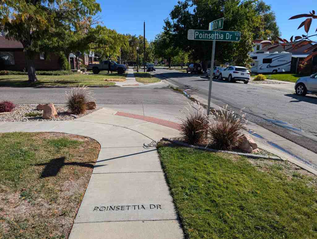
Poinsettia Drive
“Old Rose Park” was built in 1947-1950s and covered the area between current 600 North and 1000 North, North of 1000 North was called “New Rose Park” by those in “Old Rose Park” even though it was still part of Rose Park – not to be confused with an actual neighborhood named “New Rose Park” build in the 1950s west of the golf course and Redwood Road and roughly between 1100 North and 1500 North.
Older records can confuse because of Salt Lake City’s renaming of streets in the 1970s, 5th North became 600 North, for example.
Below are two options of the rose pattern by Bryant Heath:


 A list of