Tags

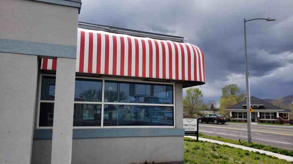
I stopped by the closed down One Man Band Diner in Payson, Utah to get some pictures and video.

30 Sunday Jun 2019
Posted in Uncategorized
Tags
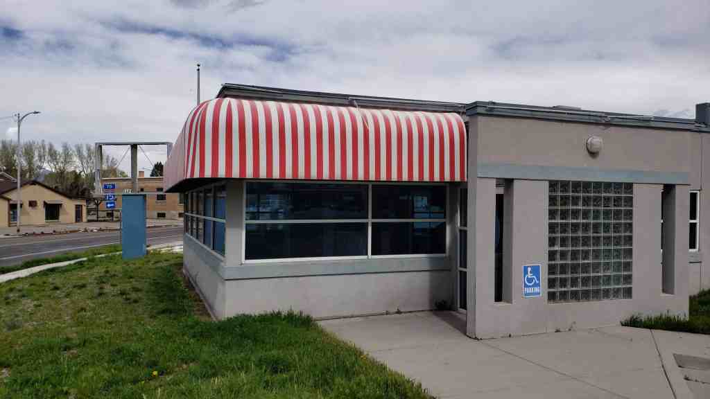
I stopped by the closed down One Man Band Diner in Payson, Utah to get some pictures and video.


30 Friday Nov 2018
Posted in Uncategorized
Tags

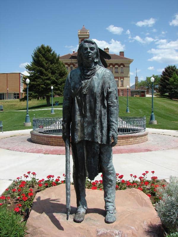
John Boylston Fairbanks Home
Mounted on a boulder at about 100 North Main in Payson is a plaque explaining that the John Boylston Fairbanks home was located here and was relocated to the Pioneer Trail State Park in Salt Lake City.


10 Tuesday Oct 2017
Posted in Uncategorized
Tags

Some of the historic homes in Payson.
10 Tuesday Oct 2017
Posted in Uncategorized
Tags

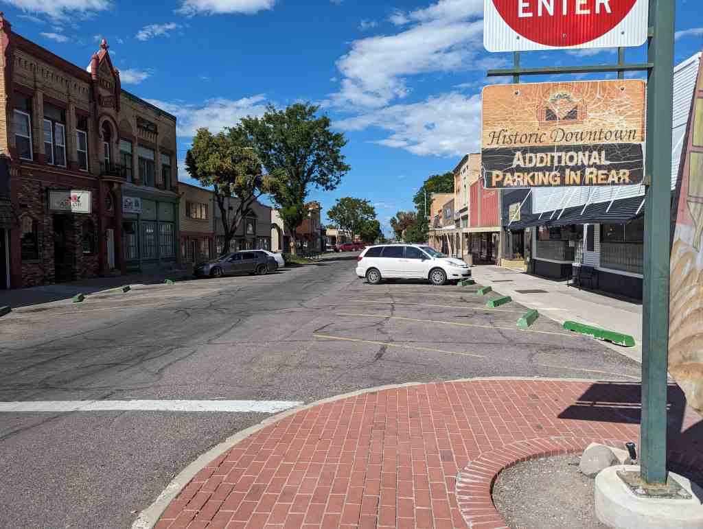
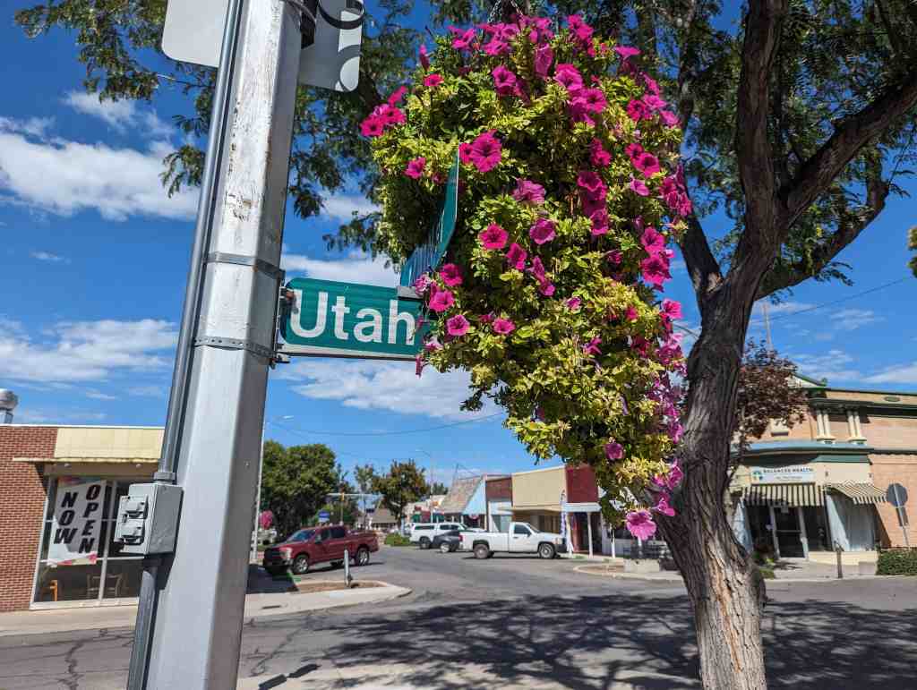
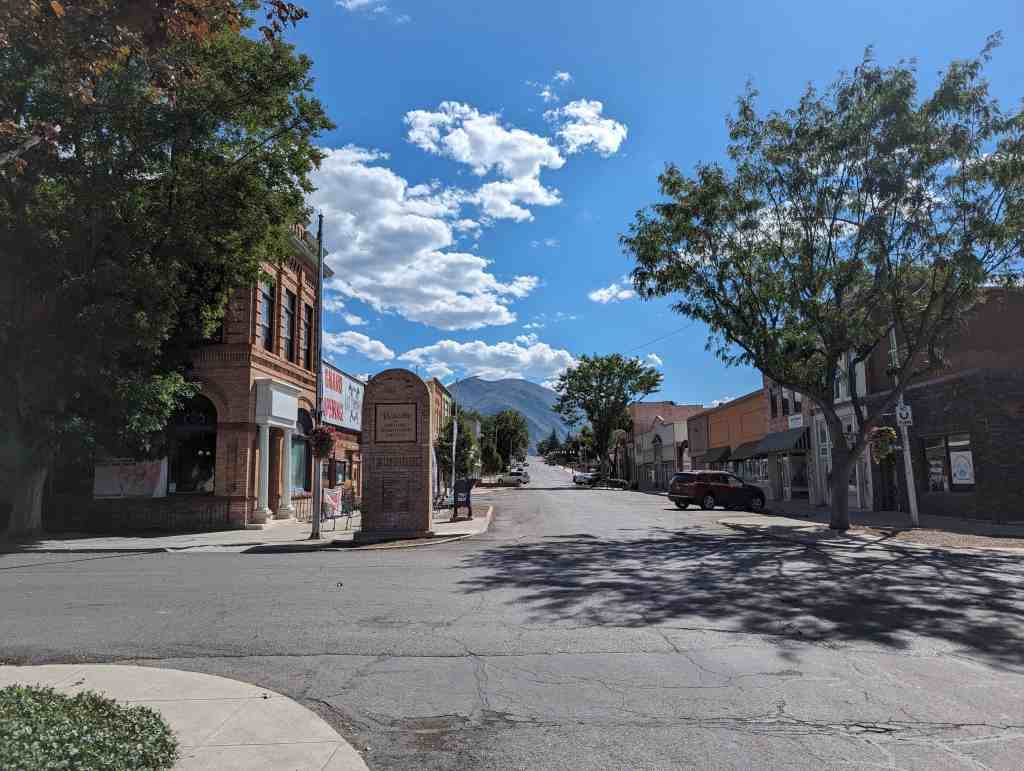
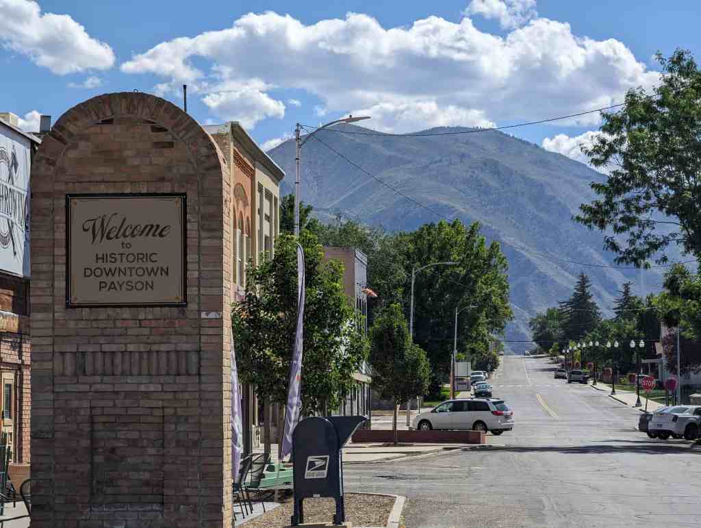
Downtown Payson, Utah is a great place with good food and fun little shops and an overall good feeling.
Some posts related to downtown Payson:


26 Wednesday Apr 2017
Posted in Uncategorized
Tags
Benjamin, Cemeteries, Palmyra, Payson, spanish fork, utah, utah county, West Mountain
11 Tuesday Apr 2017
Posted in Uncategorized
Tags


Located at 7 South Main Street in downtown Payson, Utah
The Payson Exchange Savings Bank was opened in April of 1890 in a new two-story building located on the southeast corner of Main Street and Utah Avenue. Since the bank did not have the proper license to operate at that time, it was forced to close until the following year. It was not granted a license to operate until January 1891. The bank advertised that it could transact a general banking business, forward money to any part of the United States, Mexico, or Europe at the lowest possible rates.
In 1924, after more than thirty years in business, the Payson Exchange Bank failed and closed its doors. In 1927, Payson City purchased the building and established a city office complex. The City Library was moved from the Hancock Building located a block north of the old bank building. The library occupied the main west portion of the bank. The City Council Chamber was located on the second floor above the library.
The City Offices were moved from the old City Hall across the street west of the City Park to the east rooms of the bank building. The offices had their own entrance located on Utah Avenue. The city police and a jail were located adjacent to the city offices. R. W. McMullin, attorney-at-law occupied the rooms above the city offices.
The bank building housed the library and city offices until the early 1980’s when they were moved to the new city complex located in the newly remodeled Payson City Hospital building located on West Utah Avenue.(*)
It is now (2017) Eli’s Old Fashioned Ice Cream and Soda Shop, an awesome place that not only has great food and ice cream but is fun to sit in and look around at the old bank vault, windows, woodwork and more.


12 Monday Sep 2016
Posted in Uncategorized
Tags
historic, Historic Buildings, Payson, Schools, utah, utah county

The old historic Peteetneet School on a hill in Payson, Utah.
Prior to serving as a museum and cultural arts center, the Peteetneet School or Peteetneet Academy was erected in 1901. The architectural design combines both Victorian and Romanesque Revival architecture and was done by Richard C. Watkins, who designed many other schools through Utah and Sanpete counties. The Victorian belfry makes this school more flamboyant than other prominent schools designed by Watkins such as the Maeser School or Old Spring City School. The building served as an academy and then elementary school until 1989 when Payson City planned to demolish the building. A group of concerned citizens formed People Preserving Peteetneet and were instrumental in saving and restoring the school. Since the building is located on the Nebo Loop Scenic Byway, the Utah Department of Transportation awarded over $100,000 to assist in the restoration. The building was transformed into a museum and civic center. A glass elevator was added in 2008. The building has been listed on the National Register of Historic Places since May 30, 1990.


27 Wednesday Jul 2016
Posted in Uncategorized
Tags
Churches, LDS, LDS Church, Payson, Temples, utah, utah county

The temple was announced on January 25, 2010, by church president Thomas S. Monson. The temple is located on the southernmost edge of Utah’s Wasatch Front, and is the 15th dedicated temple in the state. The Provo City Center and Cedar City temples, both under construction, will bring the total to 17 when they are completed.
Dallin H. Oaks presided at the groundbreaking ceremony on October 8, 2011.
Other Payson posts.
Other Temples in Utah.


22 Thursday Oct 2015
Posted in Uncategorized
Tags

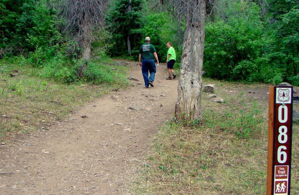
The Grotto is an alcove with a small waterfall, a very popular hike in Payson Canyon because it is short, easy and pretty. It’s only about a quarter mile from the road so bring the kids and come stand under a cold waterfall.
15 Saturday Nov 2014
Posted in Uncategorized
Tags
Several of the towns in Utah started out as forts as protection for the people, many of those have the location of the fort marked, some of those have the location of the corners of the forts marked. Here are the markers placed to mark where the corners of the Payson Fort was.
The Main Gate: N 40° 02.629 W 111° 43.774


This road has remained open since 1853. Just inside was a stagecoach inn & Pony Express station which operated until the telegraph came in 1861. Alexander Keele, while on voluntary guard duty, was killed on 18 July 1853 by Indians as they left the Fort.
The Southeast Corner: N 40° 02.621 W 111° 43.775


The Fort was 60 rods square with corners built of logs forming a buttress. Adobe, rock and mud walls stood 8 feet tall. 4 feet wide at the bottom and 2 feet wide at the top on a rock foundation with a deep 4 foot trench around the outside. It was built during the Walker Indian War 1853-54.
The Southwest Corner: N 40° 02.622 W 111° 44.105


The Northwest Corner: N 40° 02.875 W 111° 44.105


The Northeast Corner: N 40° 02.868 W 111° 43.775


