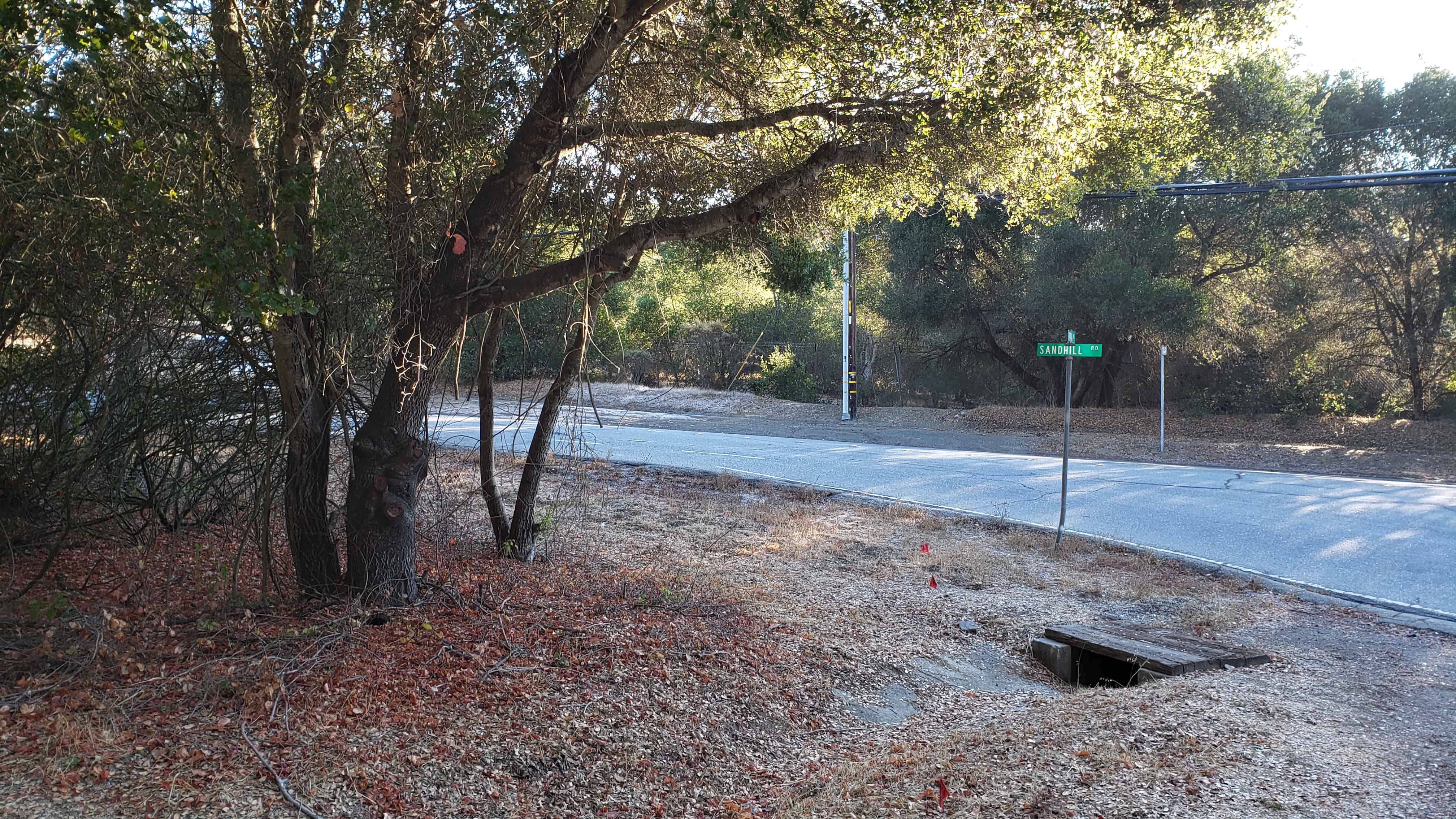
Here stood the lumbermen’s village of Searsville whose first settler, John Sears, came in 1854. Across the road westerly from this monument stood a hotel. The school, store, blacksmith shop, and dwellings were to the southeast, some on the site of the present lake and others overlooking it. Buildings were removed in 1891, as water rose behind the new dam.
State Registered Landmark No. 474 (see others on this page)
Plaque placed by the Board of Supervisors of San Mateo County in cooperation with the San Mateo County Historical Association. Dedicated June 8, 1952
Location: N 37.40264 W 122.24520 (Portola Rd and Sand Hill Rd in Woodside, CA)
DESCRIBED BY COAST AND GEODETIC SURVEY 1962 (JCC) STATION IS THE TOP CENTER OF THE TANK, WHICH IS ABOUT 300 FEET IN HEIGHT, PAINTED A CHECKERED RED AND WHITE COLOR AND NEAR THE TOWN OF BACCHUS, WHICH IS ABOUT 14 MILES SOUTHWEST OF THE CENTER OF SALT LAKE CITY. THE TANK BELONGS TO AIR FORCE PLANT 81.
01/01/1973 by NGS (GOOD)
RECOVERY NOTE BY NATIONAL GEODETIC SURVEY 1973 (JRS) THE BACCHUS AIR FORCE PLANT 81 WATER TANK WAS VISITED AND RECOVERED AS DESCRIBED IN 1962.
01/01/1983 by DMA (GOOD)
RECOVERY NOTE BY DEFENSE MAP AGENCY 1983 (GAS) RECOVERED AS DESCRIBED.
06/15/1985 by NGS (GOOD)
RECOVERY NOTE BY NATIONAL GEODETIC SURVEY 1985 (ERP) THE STATION IS A TANK. RECOVERED AS DESCRIBED.
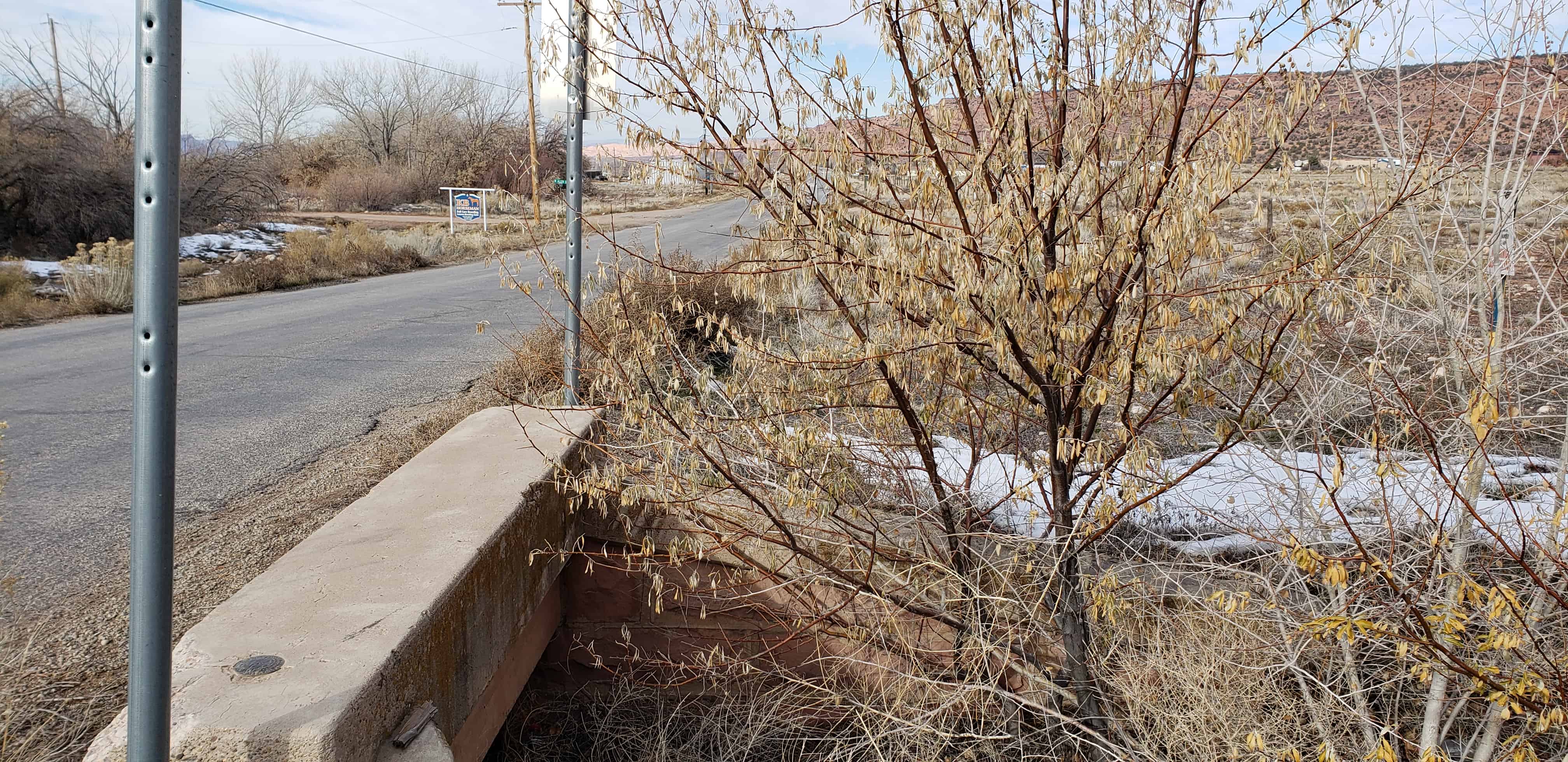
I’ve spent nearly 20 years now enjoying searching for benchmarks, survey points used to map and keep track of property lines and more. They’re fascinating to a map geek like me.
This one is in Tooele County out in the desert.
Documented History (by the NGS) 01/01/1955 by USGS (MONUMENTED)
01/01/1970 by NGS (GOOD) DESCRIBED BY NATIONAL GEODETIC SURVEY 1970 13.55 MI S FROM STOCKTON. 13.55 MILES SOUTH ALONG THE UNION PACIFIC RAILROAD FROM AN ASPHALT ROAD CROSSING AT STOCKTON, 285 FEET WEST OF THE FIRST POLE SOUTH OF MILE POST 729, 356 FEET WEST OF THE WEST RAIL, 3.8 FEET WEST OF THE FENCE LINE, 63 1/2 FEET SOUTH OF THE SOUTH END OF A GATE, 2.0 FEET WEST OF A WITNESS POST, ABOUT 3 FEET HIGHER THAN THE TRACK AND IN THE TOP OF A CONCRETE POST PROJECTING 0.8 FOOT. SECTION 27, T 5W, R 6S.
01/01/1971 by USGS (GOOD) RECOVERY NOTE BY US GEOLOGICAL SURVEY 1971 LOCATED ABOUT 200 FT. E. OF STATE HIGHWAY 36, 72 FT. S. OF GATE AND 4 FT. W. OF FENCE, IN SAGEBRUSH FLATS ALONG UNION PACIFIC RAILROAD RIGHT-OF-WAY FENCE, OPPOSITE OLD —AJAX— SECTION HOUSE FOUNDATIONS. TO REACH FROM INTERSECTION OF RD. INTO VERNON AND STATE HIGHWAY 36, DRIVE N. ON STATE HIGHWAY 36 FOR 12.6 MI. TO TRACK RD. RIGHT (E.), GO E. ABOUT 200 FT. TO GATE, TURN S. ALONG W. SIDE OF FENCE FOR 72 FT. TO STATION. STATION MARK–BRONZE TABLET STAMPED —AJAX 1955— SET IN AN 8 IN. CONCRETE FILLED TILE PROJECTING 6 IN. ABOVE GROUND. REFERENCE MARK NO. 1–CHISELED CROSS 4 FT. ABOVE GROUND ON S. SIDE OF SECOND CONCRETE POST S. OF GATE. (NOT RECOVERED). REFERENCE MARK NO. 2–CHISELED CROSS 4 FT. ABOVE GROUND ON N. SIDE OF CONCRETE POST. (NOT RECOVERED).
The First Statewide Pioneer Day Celebration Was held in this Basin July 23-24, 1857
Headed by Brigham Young, the company reaching here July 23d numbered 2,587 persons, with 464 carriages & wagons, 1,028 horses & mules, and 332 oxen & cows.
A program of addresses, six brass bands, singing, athletic events, drills by six companies of militia, and dancing, was punctuated by salutes from a brass howitzer. U. S. flags were flown from two highest peaks and two highest trees, the flag tree in front of Brigham Young’s campsite being 70 feet N. W. of here. At noon July 24, Judson Stoddard and A. O. Smoot, 20 days from the States, with Elias Smith and O. P. Rockwell, arrived with news of the advance of Johnston’s army against the “Mormons”. The company returned in orderly formation on July 25th.
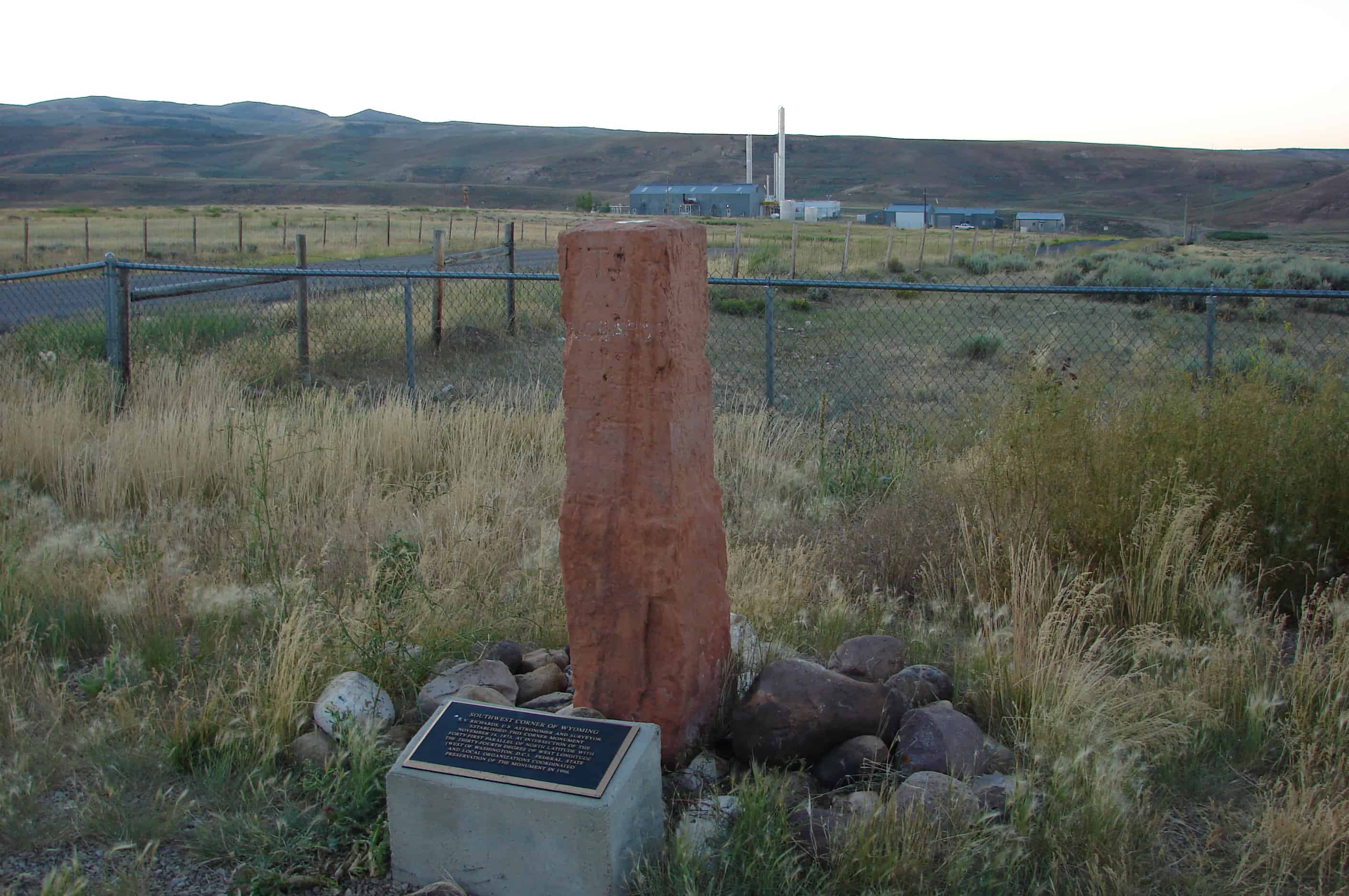
A.V. Richards, U.S. astronomer and surveyor, established this corner monument November 14, 1873, at intersection of the forty-first parallel of north latitude with the thirty-fourth degree of west longitude (West of Washington, D.C.). Federal, state and local organizations coordinated preservation of the monument in 1996.