Tags
Bells, DUP, historic, Historic Markers, Tooele, Tooele County, utah

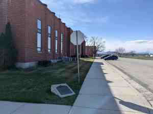
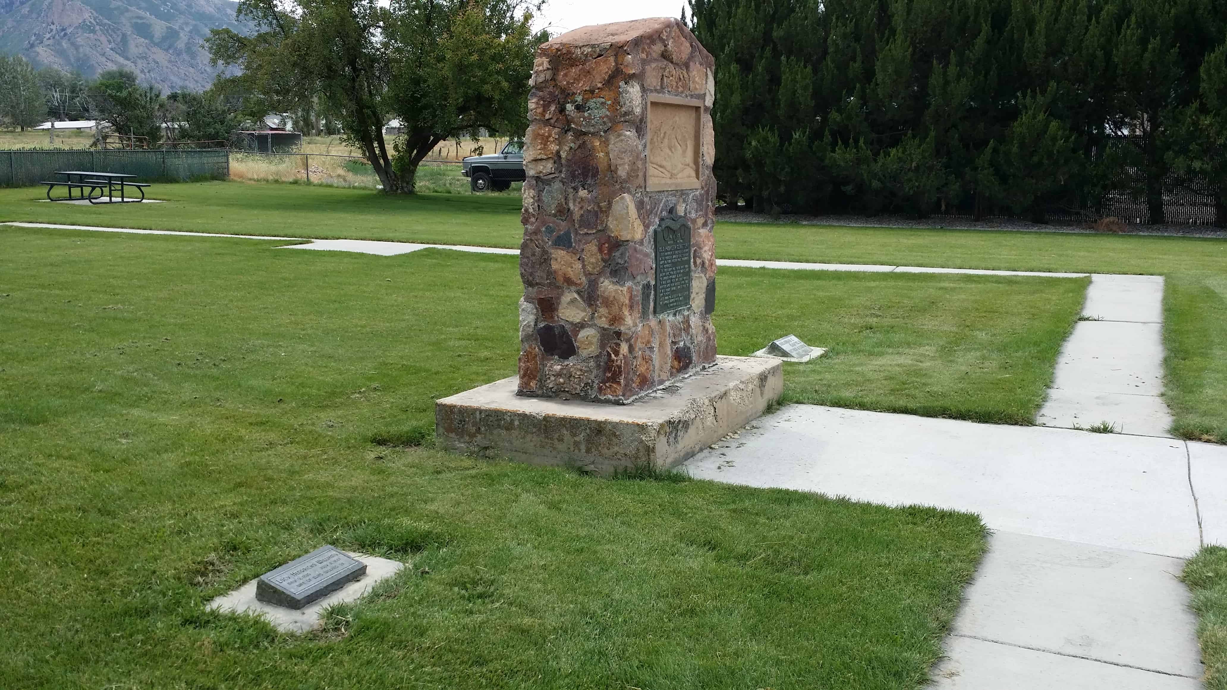
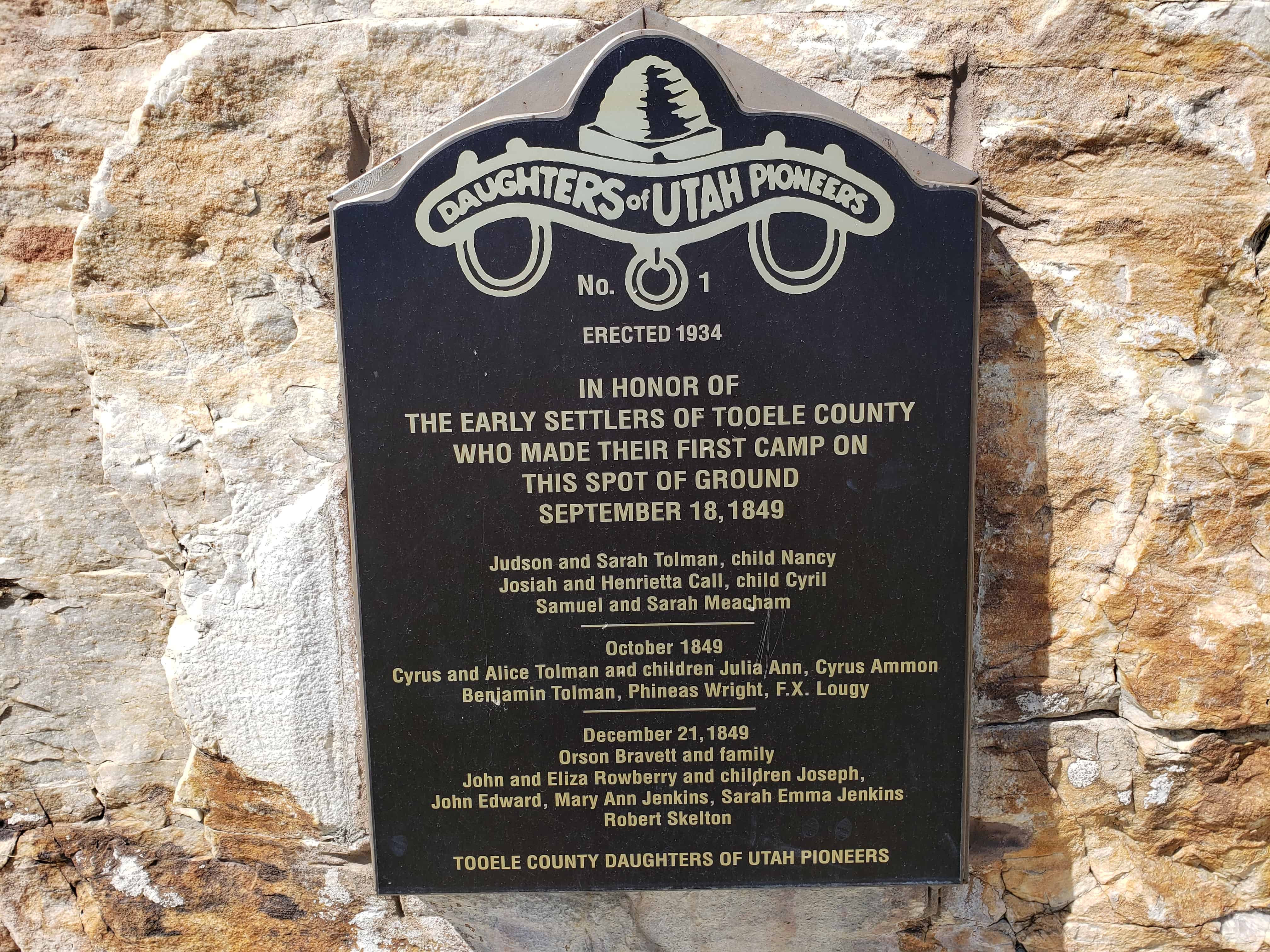
Old Tooele Ward Church
Erected 1869 by the first pioneers who settled in Tooele City with Bishop John Rowberry in charge of construction, George Atkin, Superintendent of Work, and Richard and William Kennington, David Adamson, John Pickett, James Hammond and Edward Broad, active in construction work. Rock used was taken from the mouth of Settlement Canyon. The Church was dedicated by Daniel H. Wells, accompanied by President Brigham Young, John Taylor, Orson Pratt and Wilford Woodruff, on April 29, 1870. The building was remodeled in 1918.

From the tower of the first Tooele Valley chapel, which stood on this site, the bell atop the monument served the people for 39 years. Construction began in 1854, finished in 1869, and demolished in 1968.

Daughters of Utah Pioneers historic marker #54, located at Veterans Memorial Park at 15 West Vine Street in Tooele, Utah.
The original 1940 marker was replaced with this new one in 2021:

Old Tooele Ward Church
The first Tooele church was erected in 1869 by the early pioneers who settled in Tooele. Bishop John Rowberry was in charge of construction; George Atkin was superintendent of work; and Richard and William Kennington, Dave Adamson, John Pickett, James Hammond and Edward Broad worked in construction. Rock used was taken from the mouth of Settlement Canyon. The Tooele church was dedicated by Daniel H. Wells on April 29, 1870. President Brigham Young, John Taylor, Orson Pratt and Wilford Woodruff were present. The building was remodeled in 1918 and served the community for 90 years. Up until its demolition in 1968, every prophet of the Church from Brigham Young to Joseph Fielding Smith had spoken from its pulpit.