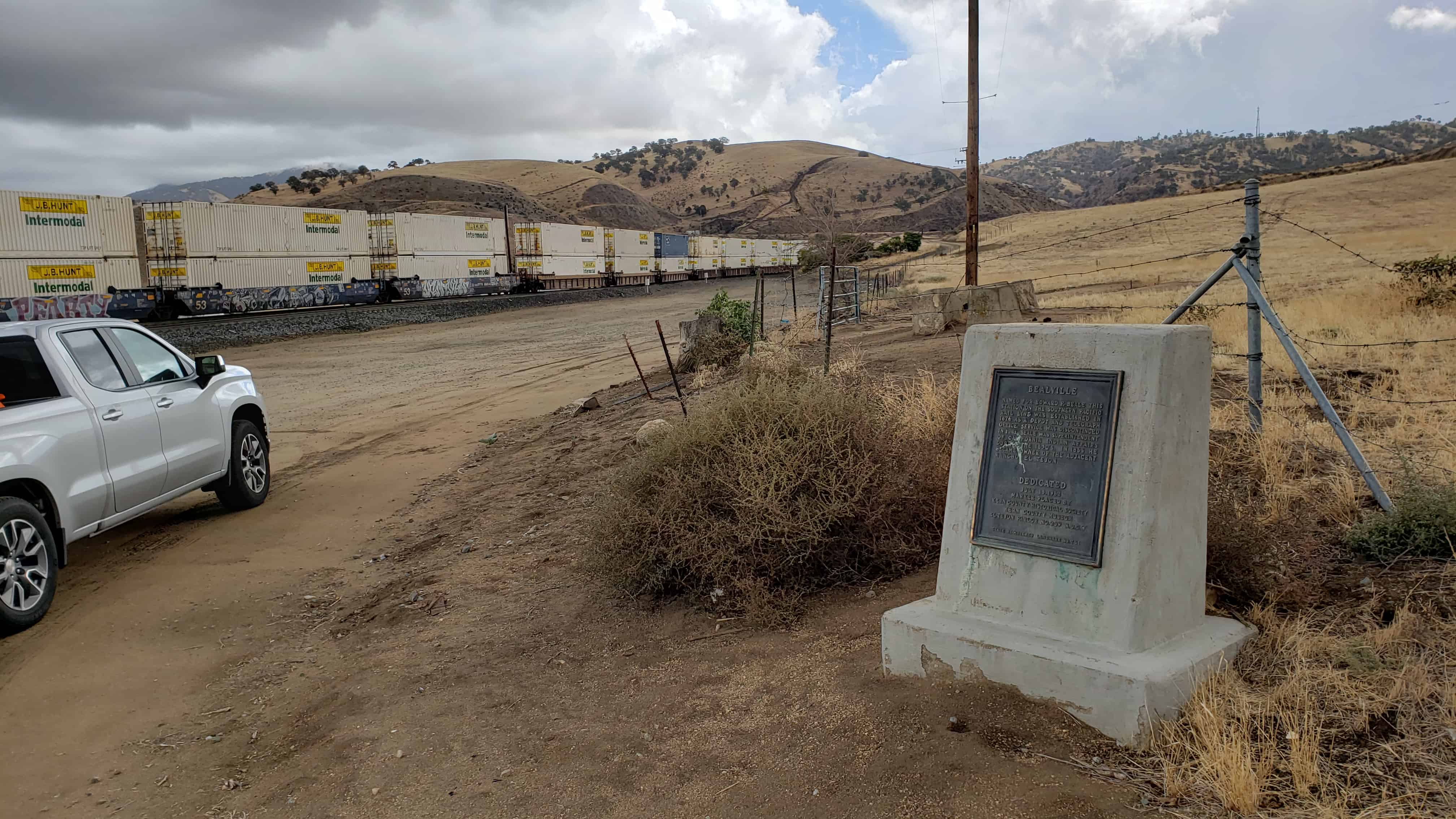
Named for Edward F. Beale, this station on the Southern Pacific rail line was established in 1876 as a depot and telegraph office. Service was discontinued in 1913. Beale was superintendent of California Indian Affairs during the 1850’s. In 1865 he became owner of the adjacent Rancho El Tejon.
This historic marker was dedicated July 15, 1962 and placed by Kern County Historical Society.
It is California Historic Landmark #741 – see others on this page.
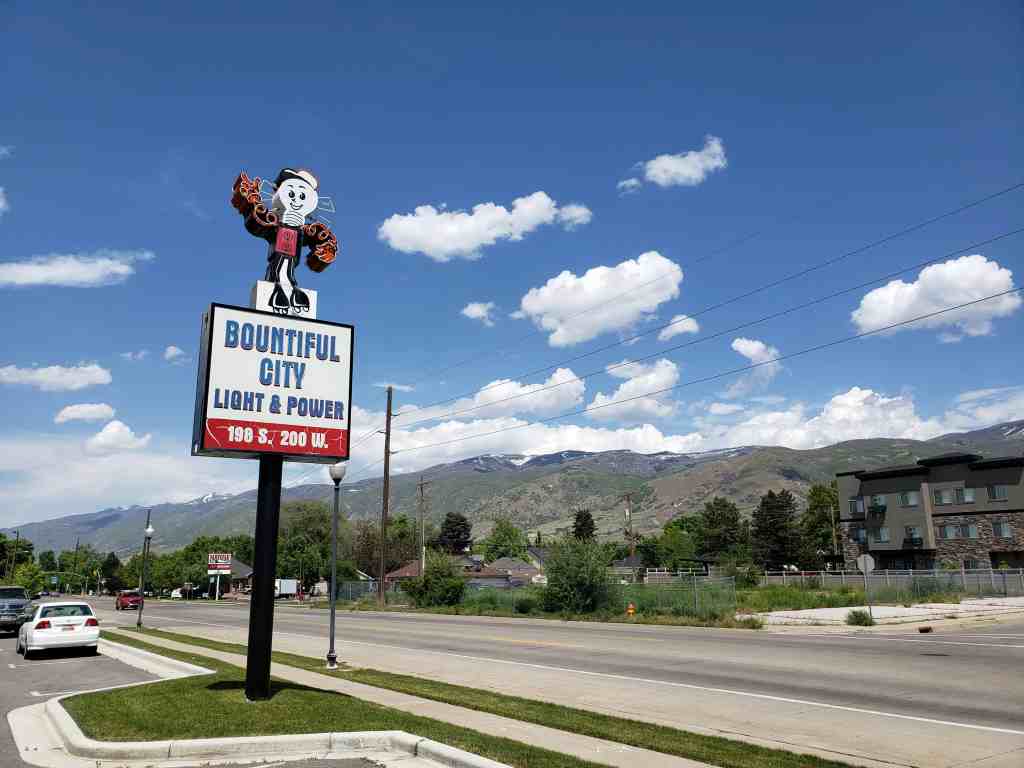
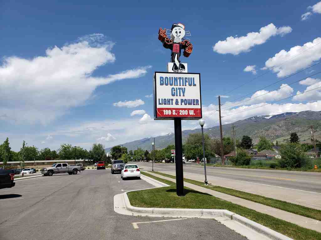
Simon Bamberger conceived the idea of a local railroad between Salt Lake City and Ogden. When the line came to Bountiful in 1892 it became an important factor in the city’s growth. For $0.10 the residents could now ride to Salt Lake City for an outing, for school or for work. More importantly, raw materials such as coal, lumber, brick and plaster could be shipped in and farm produce shipped out. In 1908 a switch was made from steam to electricity and the line became The Bamberger Electric Railroad, known by the citizens as the Bamberger. Service was discontinued in 1952. The building now occupied by the Bountiful Light & Power Company was used as a warehouse for goods to be shopped. The station itself was immediately in front of this building.
This site is near where workers drove the last spike which completed the railroad between Salt Lake City, Utah, and Los Angeles, California. It was driven on January 30, 1905. This was the last “transcontinental” line to Southern California and one of the last lines built to the Pacific Coast. There was no formal celebration at the time of the last spike. The men on the spot gave some recognition to the event.
Las Vegas owes its existence to the railroad, then known as the San Pedro, Los Angeles and Salt Lake Railroad, as the men in charge laid out the town and established a division point there, taking advantage of a good supply of water.
Located at N 35.82381 W 115.28747
Related Posts:
Nevada State Historic Markers
Another historic marker about the same thing located nearby, from what I can tell at the actual location is this one:
The Last Spike
Track crews constructing west from Salt Lake City met track crews constructing east from Los Angeles January 30, 1905.
The Yellow Pine Mining Company Railroad, a historic marker in Jean, Nevada.
Built in 1911, the Yellow Pine Mining Company Railroad was a twelve and a half mile long narrow-gauge railroad connecting the town of Goodsprings to the Union Pacific Railroad here at Jean. The railroad was built from material purchased from the defunct Quartette Mine Railroad in Searchlight, Nevada. The Yellow Pine Mining District covered the area around Goodsprings and the Sandy Valley area. The primary ores mined were zinc and lead. Other mines produced gold, silver, platinum, palladium, copper, vanadium, molybdenum, nickel, cobalt, and uranium. The district went through several booms and busts, and be 1930 the railroad was out of business. The rails were torn up in 1934, but the right-of-way can still be seen along the road between Jean and Goodsprings.
I was at Smelter, Utah (between Tooele and Salt Lake City) and noticed over by the railroad tracks that there was a sign saying it was the start of the Pacific Time Zone. That surprised me since that time zone doesn’t start until you leave Utah into Nevada. Maybe the railroad has a different boundary than the rest of us? I can imagine how that would be helpful for the stations and junctions out in the desert but I never knew about anything like that. If you know, please share.
In 1911, after the depletion of ore at Dragon, Utah, the Uintah Railway extended its line northwest along Evacuation Creek to the terminus of Watson. From this railhead a toll road ran north to points in the Uinta Basin. The rail extended southwest to the mining camp of Rainbow. Watson became the center of Gilsonite and ranching activity with hotels and stores. Thousands of sheep were sheared and wool shipped from here.
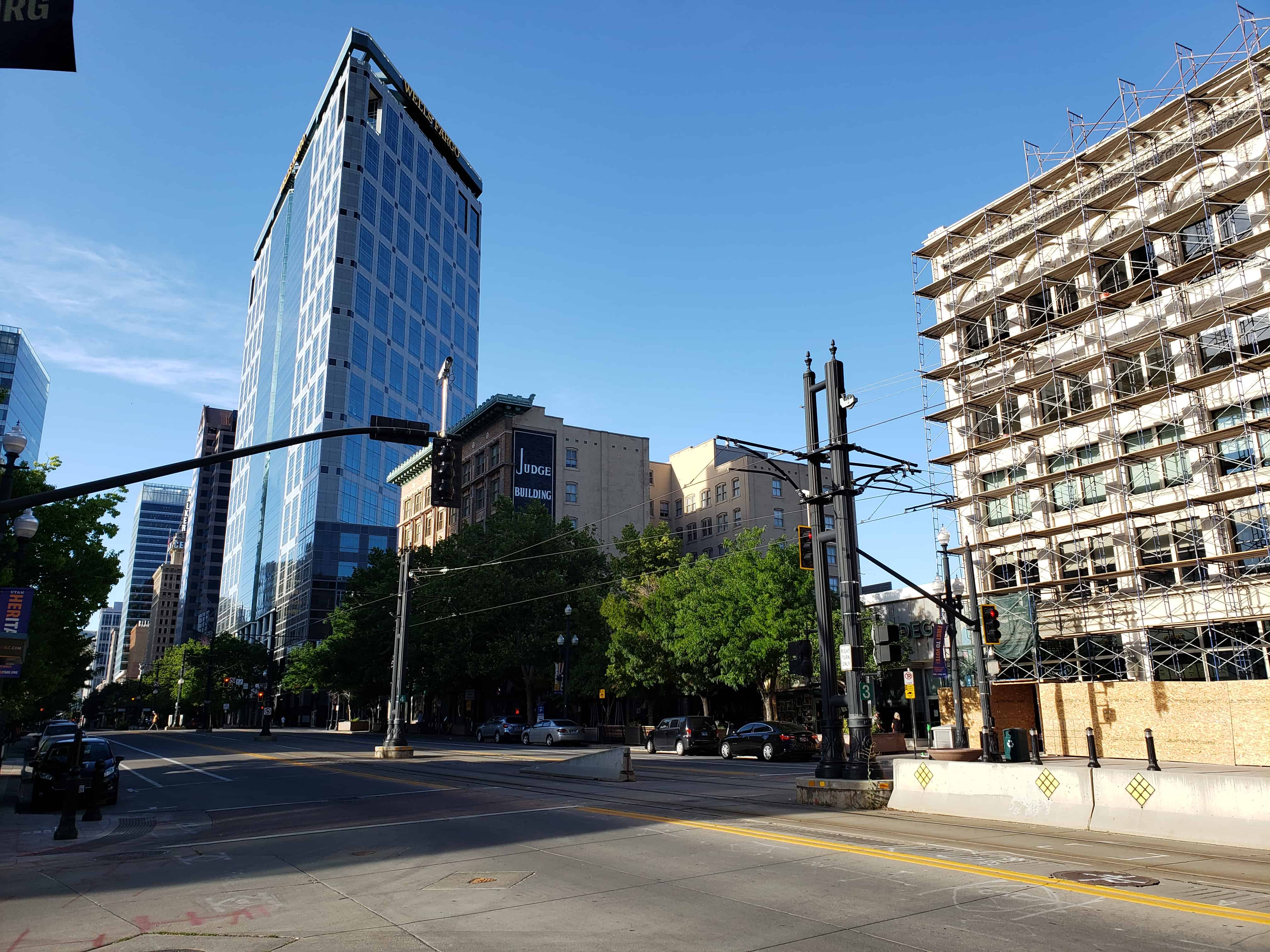
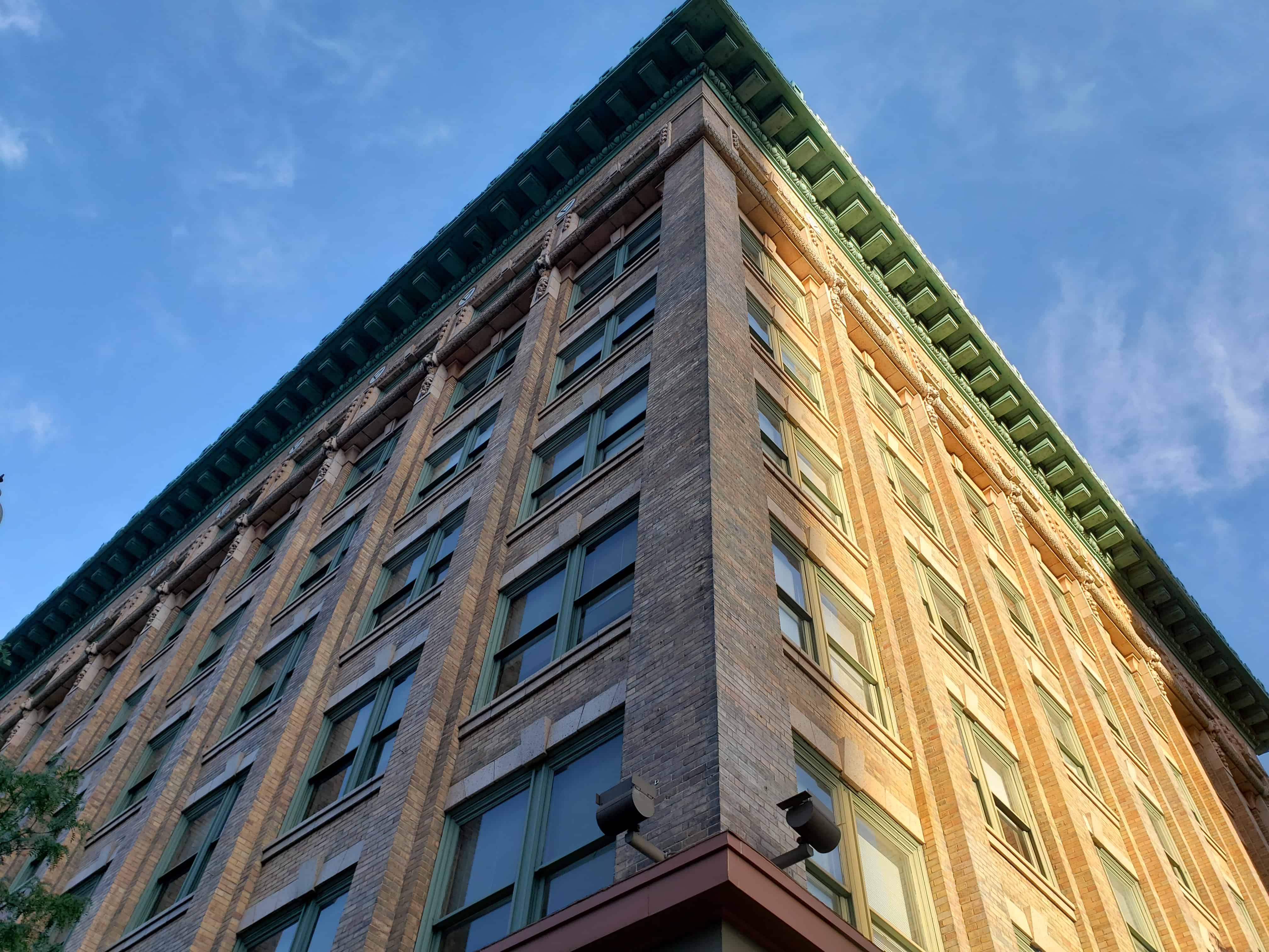
The Judge Building was built by a business savvy widow. Mary Judge was married to John Judge, a partner with Thomas Kearns and David Keith in developing the Silver King Mine in Park City.
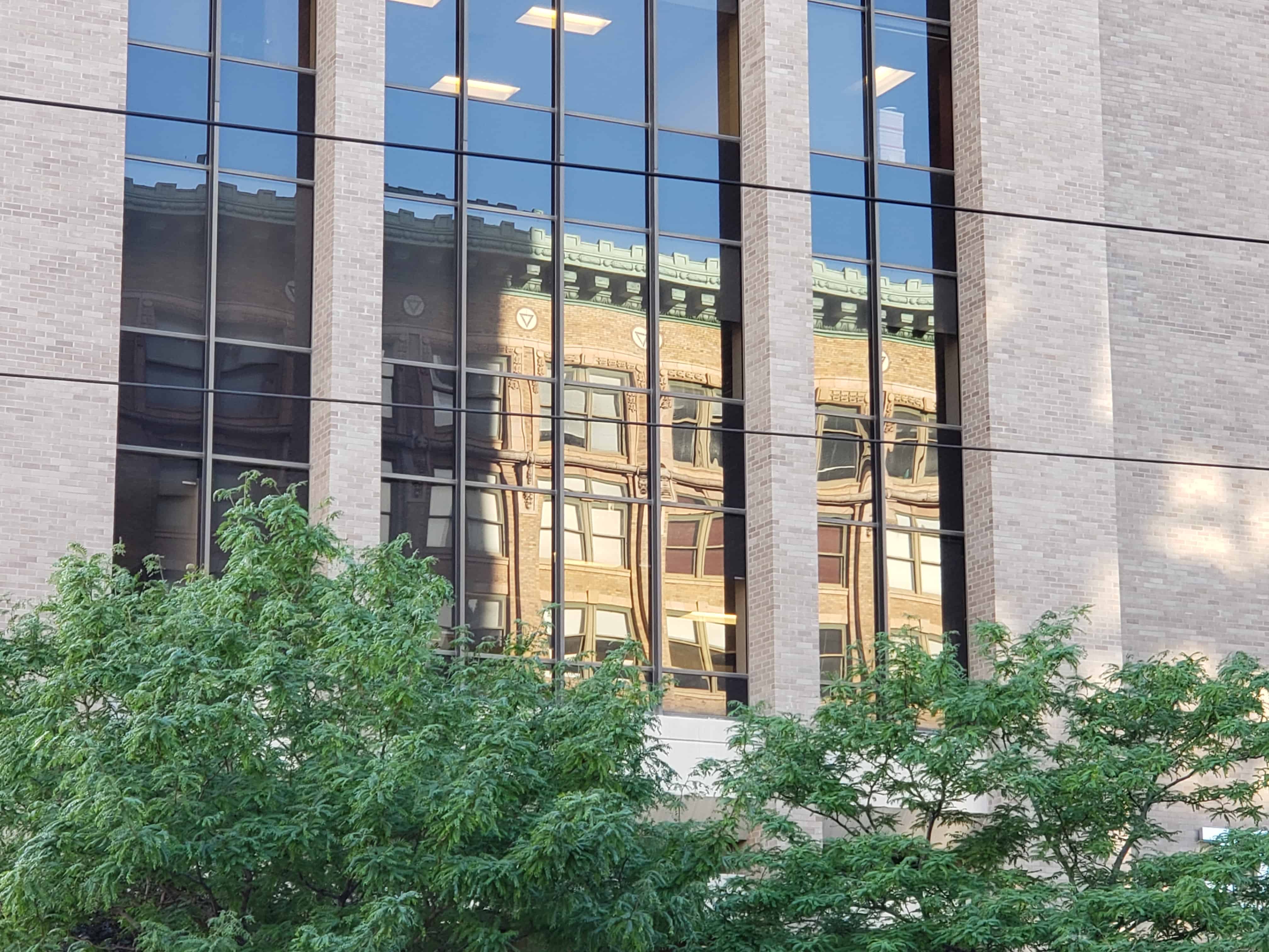
After John’s death, Mary multiplied her fortune with investments in real estate and mines. In addition to proving herself a capable businesswoman, Judge donated generously to a variety of charities. The Judge Building was once known as the Railroad Exchange Building. By 1909, 22 railroad companies had their Salt Lake offices here. The Commercial style building features a copper cornice, colorful ceramic tile triangles, and swags of carved stone fruit above the seventh-story windows.
The town of Tucker was located near a sharp curve at the bottom of a 5% grade along U.S. Route 6. In 2009, the Utah Department of Transportation closed and buried the Tucker rest area to build a safer alignment, with a banked curve and reduced grade. In 2010, the department dedicated a replacement rest area about 2 miles downstream from Tucker (mile post 202). The structure was named the Tie Fork Rest Area after the side canyon where it was located. The replacement rest area was designed to mimic an early 1900s era train depot to honor the town, including a replica roundhouse and non-functional steam locomotive built by Original Creations of Carbonville, Utah. The buildings were designed by the Archiplex Group of Salt Lake City. The rest area was voted one of the most beautiful buildings in the state of Utah in a contest sponsored by the American Institute of Architects. It is also one of the busiest non-freeway rest areas in the state.
The rest area was officially opened on 16 Aug 2010 and is supported financially by Carbon, Emery, Grand, and Utah counties, as well as the Manti-La Sal National Forest and Utah State Parks (Division of Utah State Parks and Recreation). Each of the sponsors have provided interpretive displays at the rest area and share the estimated annual $17,000 cost of maintenance.
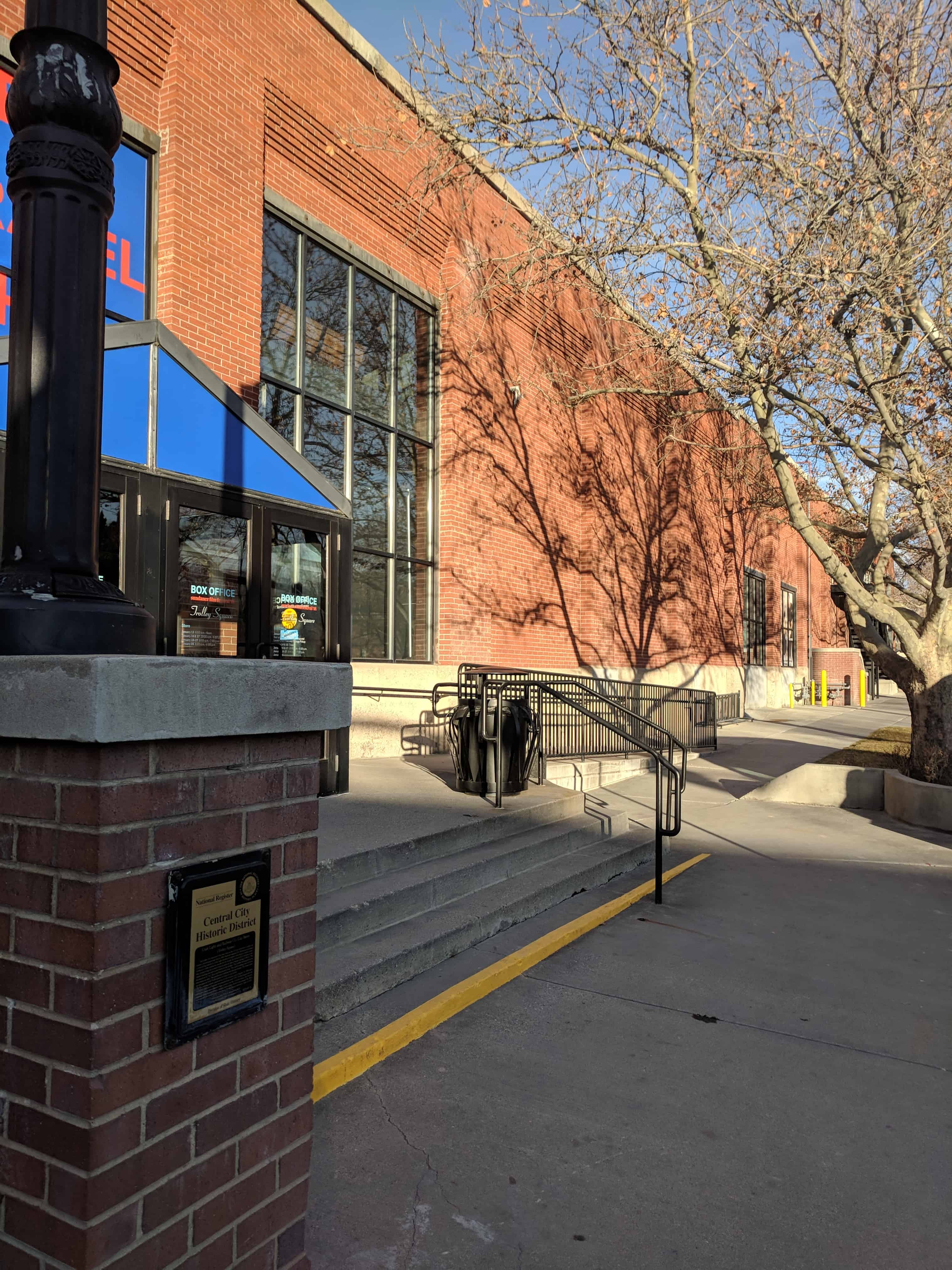
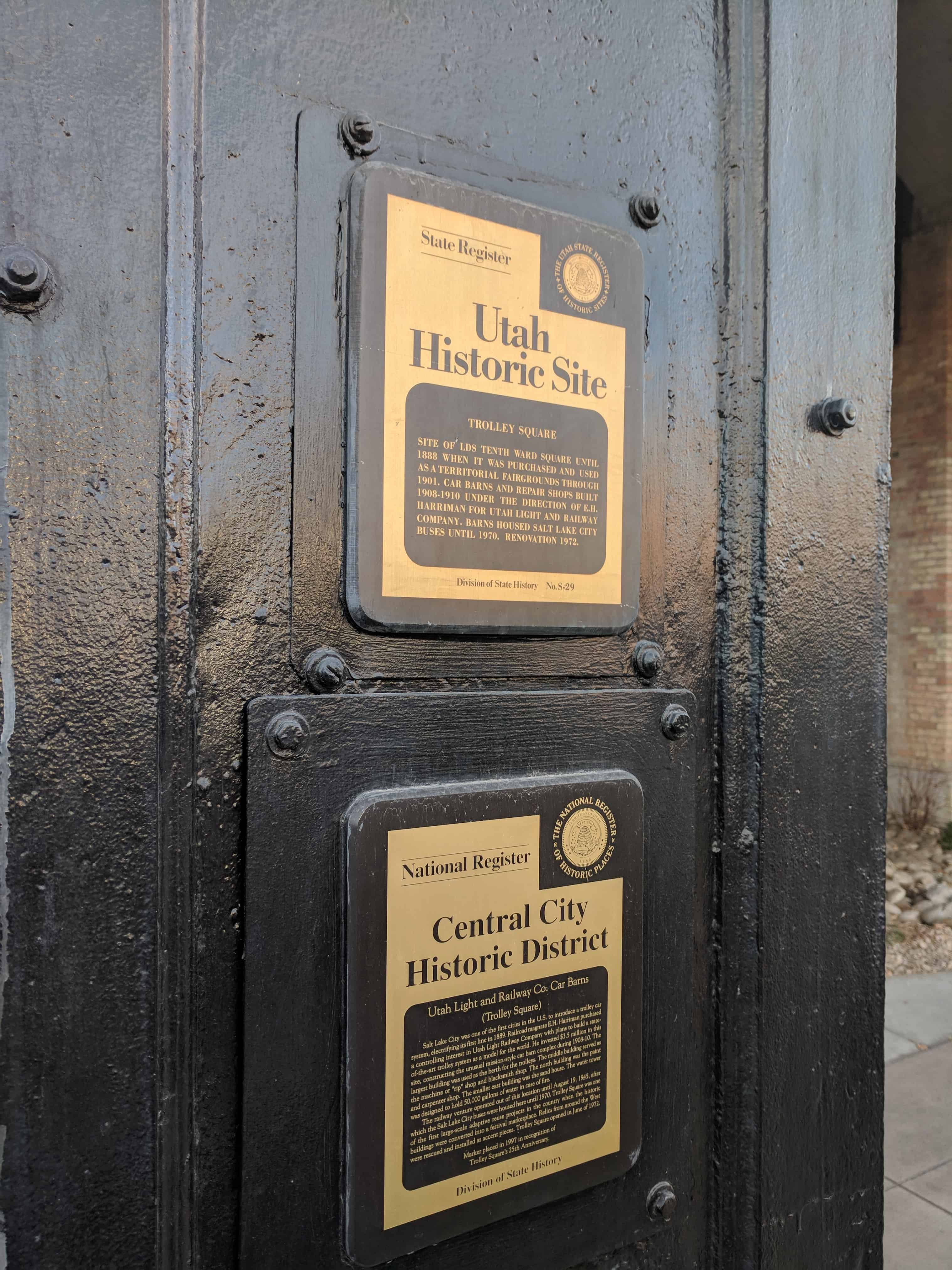
Site of LDS Tenth Ward Square until 1888 when it was purchased and used as a territorial fairgrounds through 1901. Car Barns and Repair shops built 1908-1910 under the direction of E.H. Harriman for Utah Light and Railway Company. Barns housed Salt Lake City Buses until 1970. Renovation 1972.
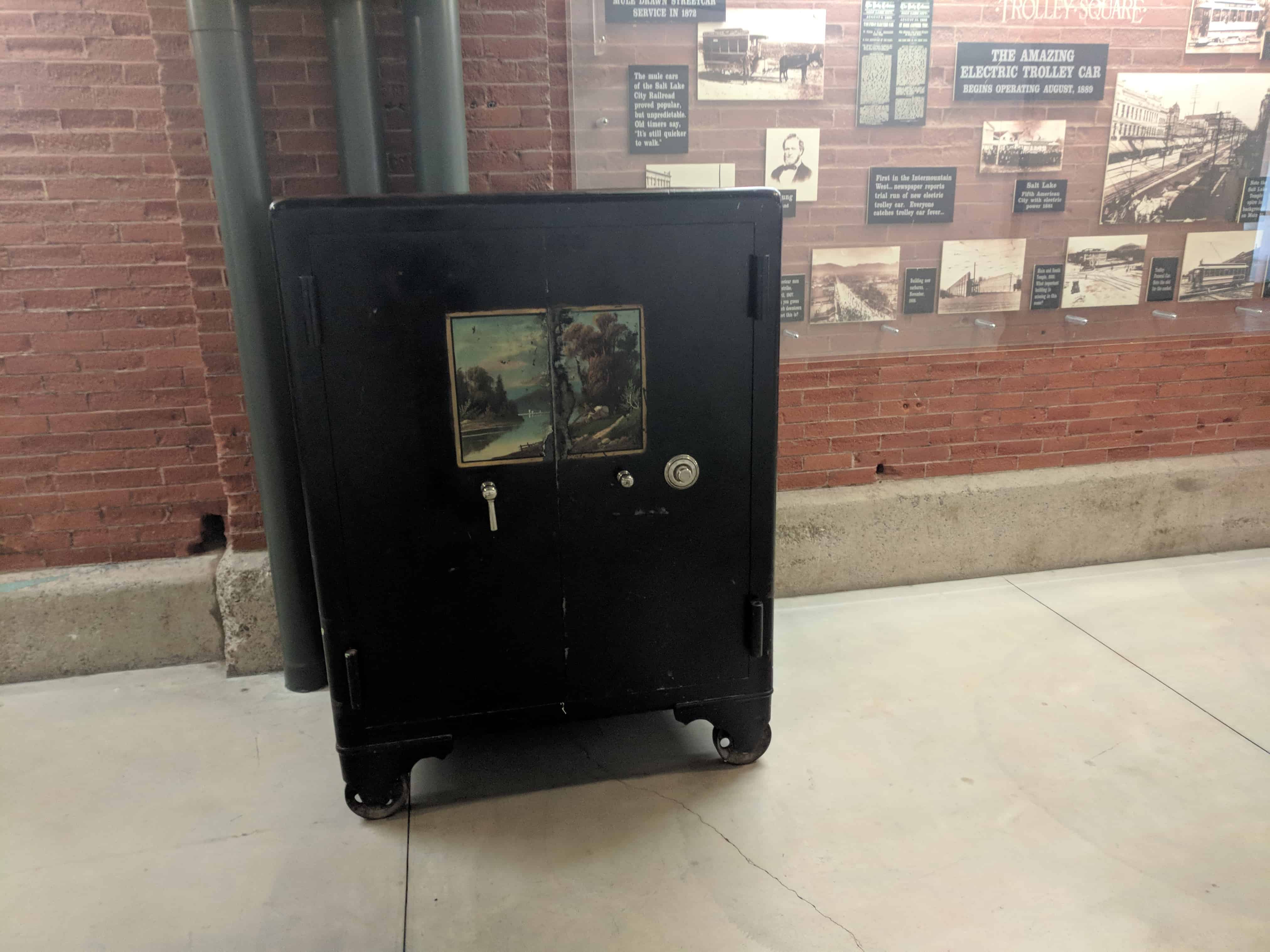
Salt Lake City was one of the first cities in the U.S. to introduce a trolley car system, electrifying its first line in 1889. Railroad magnate E.H. Harriman purchased a controlling interest in Utah Light Railway Company with plans to build a state-of-the-art trolley system as a model for the world. He invested $3.5 million in this site, constructing the unusual mission-style car barn complex during 1908-10. The largest building was used as the berth for the trolleys. The middle building served as a machine or “rip” shop and blacksmith shop. The north building was the paint and carpenter shop. The smaller east building was the sand house. The water tower was designed to hold 50,000 gallons of water in case of fire.
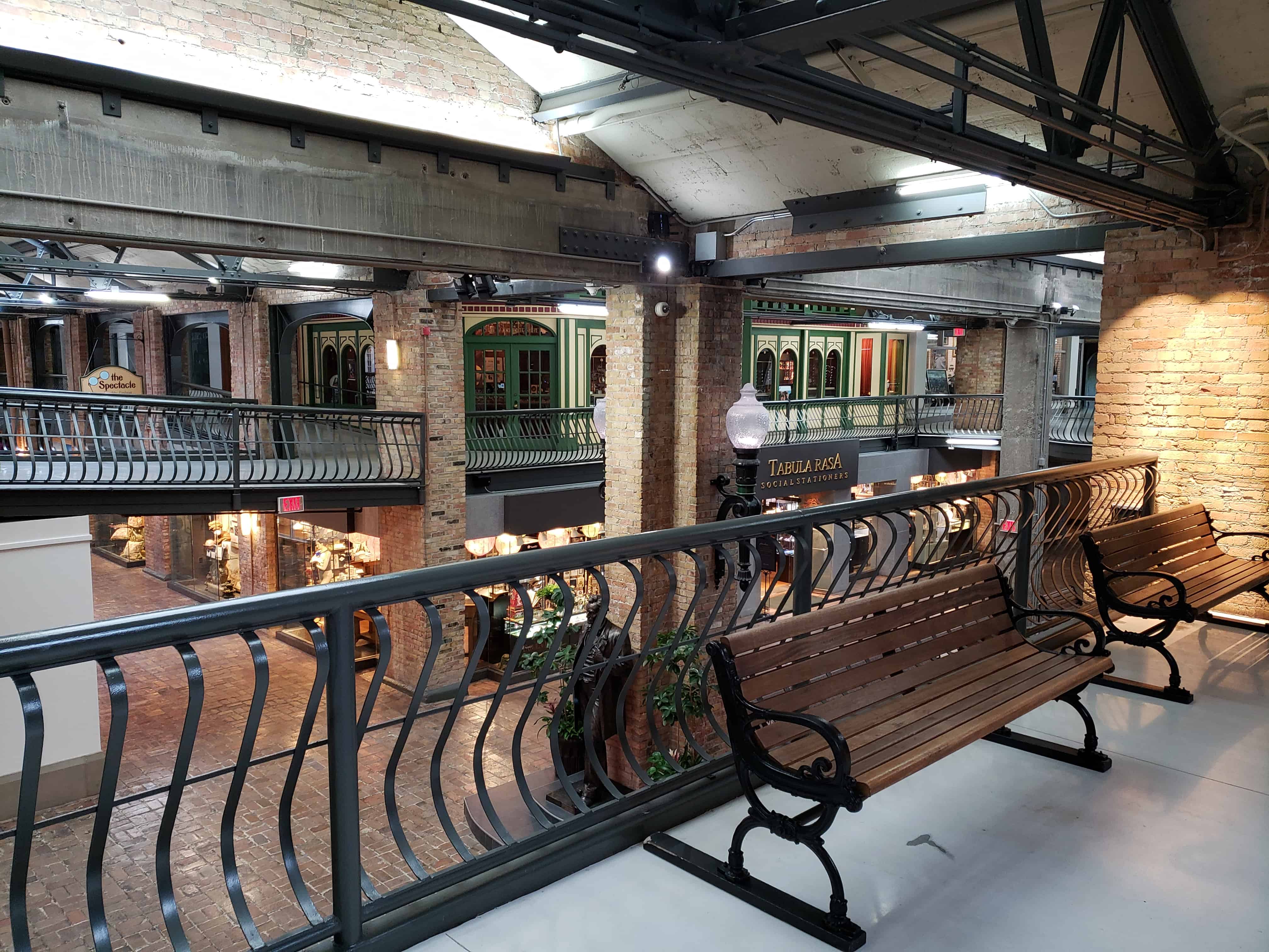
The railway venture operated out of this location until August 19, 1945, after which the Salt Lake City buses were housed here until 1970. Trolley Square was one of the first large-scale adaptive reuse projects in the country when the historic buildings were converted into a festival marketplace. Relics from around the West were rescued and installed as accent pieces. Trolley Square opened in June of 1972.