• About JacobBarlow.com
  • Cemeteries in Utah
  • D.U.P. Markers
  • Doors
  • Exploring Utah Email List
  • Geocaching
  • Historic Marker Map
  • Links
  • Movie/TV Show Filming Locations
  • Oldest in Utah
  • Other Travels
  • Photos Then and Now
  • S.U.P. Markers
  • U.P.T.L.A. Markers
  • Utah Cities and Places.
  • Utah Homes for Sale
  • Utah Treasure Hunt

JacobBarlow.com

~ Exploring with Jacob Barlow

JacobBarlow.com

Monthly Archives: May 2014

Fort Cedar

30 Friday May 2014

Posted by Jacob Barlow in Uncategorized

≈ 1 Comment

Tags

Cedar City, DUP, Forts, historic, Iron County, SUP, utah
SUP #60:
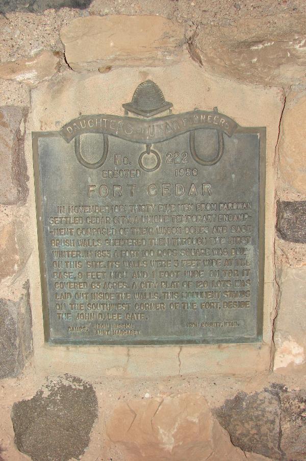
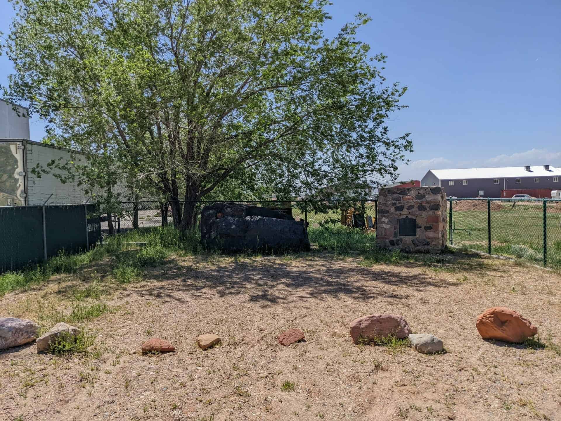
This 20,000 lb. block of iron ore was formerly located five miles west of Cedar City and listed as “Iron Mines” monument by the SUP. The SUP moved the iron ore, rebuilt the monument beside it upon which the DUP plaque #222 is mounted at this current site, which was the location of the old Cedar Iron Mission Fort. The block of iron ore has no plaque.

DUP #222:
In November 1851, thirty-five men from Parowan settled Cedar City. A unique temporary encampment, composed of their wagon boxes and sage brush walls, sheltered them through the first winter. In 1853, a fort 100 rods square was built on this site. Its walls were 3 feet wide at the base, nine feet high and one foot wide on top. It covered 63 acres of ground. A city plat of 120 lots was laid out inside the walls. This monument stands on the south west corner of the fort, beside the John D. Lee Gate.

Original DUP plaque #222, on rebuilt monument #60 by SUP Cedar City Chapter 1992

Related:
  • D.U.P. Historic Markers
  • Pioneer Forts
  • S.U.P. Historic Markers
Image
Image

Lake Shore Fort

30 Friday May 2014

Posted by Jacob Barlow in Uncategorized

≈ Leave a comment

Tags

DUP, Forts, historic, Lake Shore, Palmyra, spanish fork, utah, utah county

picture7sep07-062

In 1865 a fort was erected one mile and a quarter north from this spot, on the west bank of the Spanish Fork River. It was a square and covered one acre of ground. The walls were four feet thick at the base and tapered to about two and a half feet at the top. It was nine feet high with a porthole in each corner. It first served as a resting place for travelers and a refuge from the Indians. In later years Thomas Draper made a dugout inside the fort and lived there with his family.

Image

Check out all of the historic markers placed by the Daughters of Utah Pioneers at JacobBarlow. com/dup

Thomas L. Kane and the Mormons

30 Friday May 2014

Posted by Jacob Barlow in Uncategorized

≈ 1 Comment

Tags

DUP, historic, Mormon Battalion, Salt Lake City, Salt Lake County, utah

picture7sep07-158

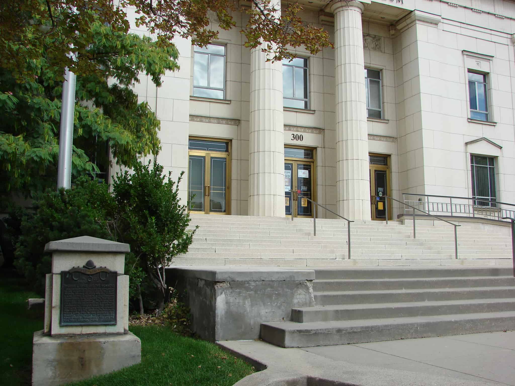
Located at the Pioneer Memorial Museum in Salt Lake City.

Early migration to Utah and its settlement by the Mormons were aided by stalwart friends. Typical of these was Col. Thomas L. Kane of the U.S. Army, a cultured and courageous man, devoted to truth and justice. In financial, political and civil affairs he served as a good-will ambassador. Present when the Mormon Battalion was called in 1846, he obtained permission for the Mormons to remain on Indian land, and in 1858 assisted in a peaceful settlement of the Johnson army episode. Throughout his life he was their staunch friend.

2017-08-14 11.29.41

2017-08-14 11.29.47

picture7sep07-157

Check out all of the historic markers placed by the Daughters of Utah Pioneers at JacobBarlow. com/dup

Escalante Trail

30 Friday May 2014

Posted by Jacob Barlow in Uncategorized

≈ 2 Comments

Tags

Delta, DUP, Escalante y Dominguez, historic, Historic Markers, Millard County, utah

No. 218
Erected 1955
Escalante Trail

Father Escalante camped here October 2, 1776. His exploring party of ten men headed by Father Francisco Dominguez and map-maker Pacheco preached to the Indians and charted a northern route between Santa Fe, New Mexico and Monterey, California. They named this valley “Valley Salado” (Valle of Salt). They traveled west near Clear Lake then east to a hillock, (Pahvant Butte). Here they found marshes and much pasturage, but salt water.

Related Posts:

  • Delta, Utah
  • Domínguez and Escalante
  • D.U.P. Historic Markers

This historic marker is #218 of the Daughters of Utah Pioneers historic markers and is located at the city park in Delta, Utah

picture24jul07-215

picture24jul07-217

Washington Cotton Factory

30 Friday May 2014

Posted by Jacob Barlow in Uncategorized

≈ Leave a comment

Tags

DUP, historic, utah, Washington, Washington County

picture13oct07-046

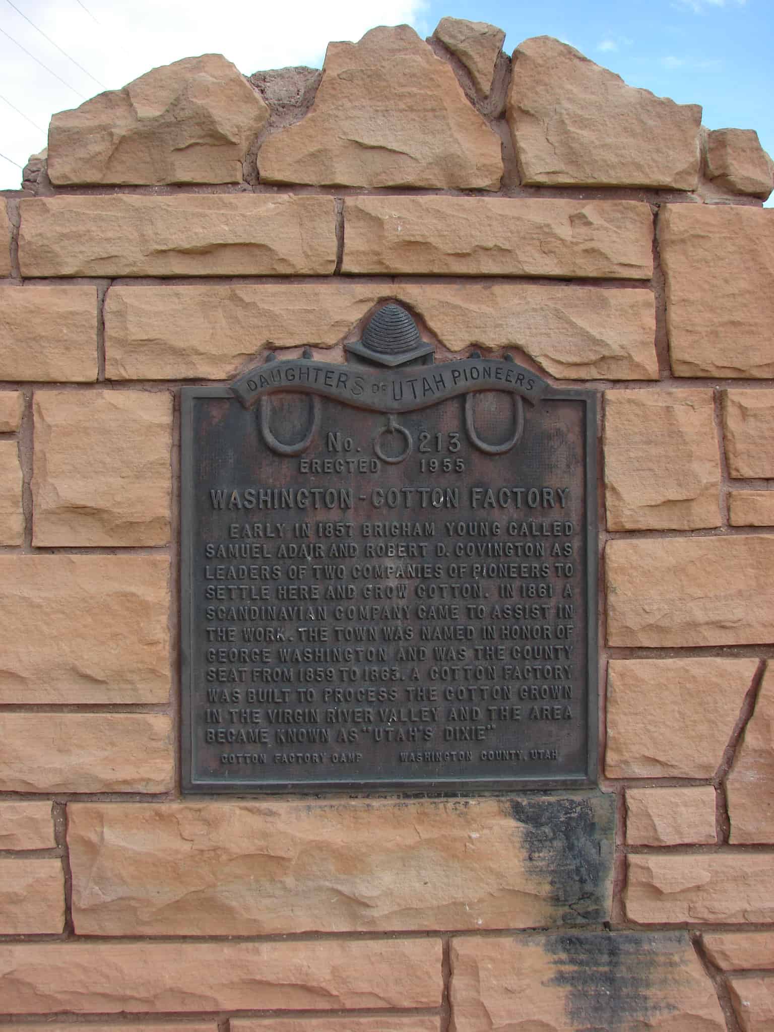
Early in 1857 Brigham Young called Samuel Adair and Robert D. Covington as leaders of two companies of pioneers to settle here and grow cotton. In 1861 a Scandinavian company came to assist in the work. The town was named in honor of George Washington and was the county seat from 1859 to 1863. A cotton factory was built to process the cotton grown in the Virgin River Valley and the area became known as “Utah’s Dixie.”

This is Daughters of Utah Pioneers historic marker #213 located at 98 North Main Street in Washington, Utah. The text above is from the monument.

Related:

  • D.U.P. Historic Markers
  • Washington Cotton Factory
picture13oct07-047

Monticello

30 Friday May 2014

Posted by Jacob Barlow in Uncategorized

≈ 1 Comment

Tags

DUP, historic, Monticello, San Juan County, utah

picture24jul07-073

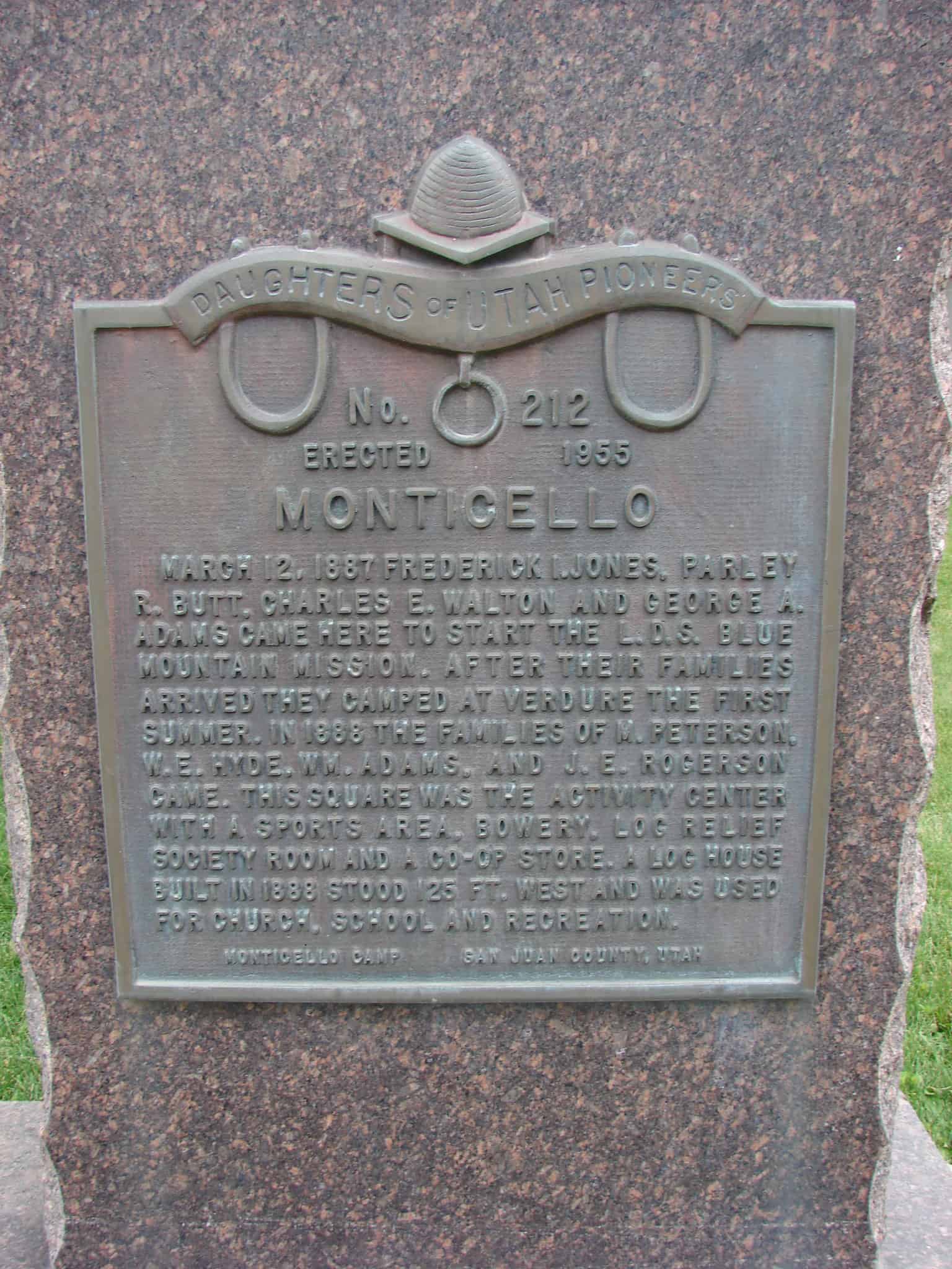
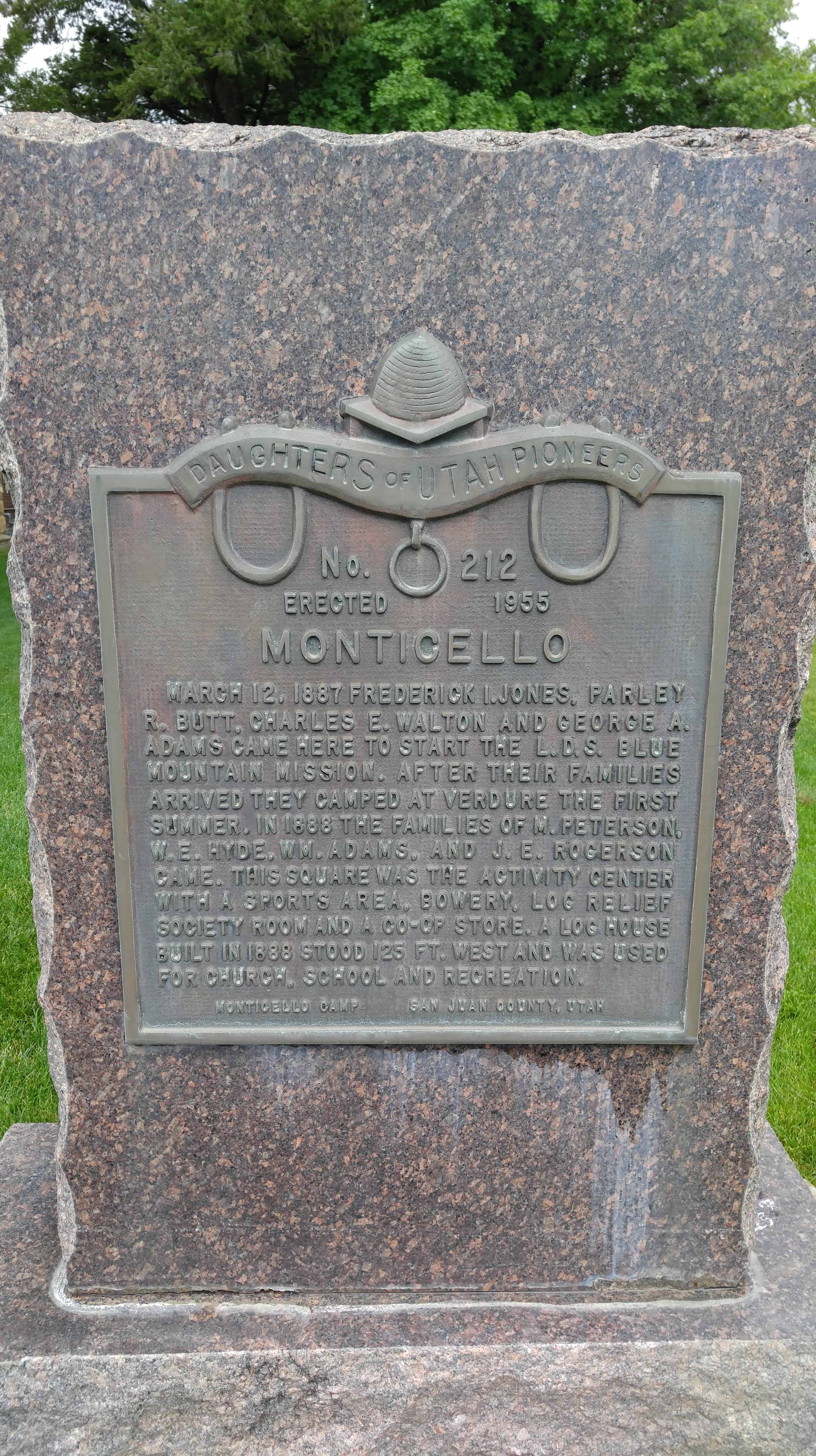
March 12, 1887 Frederick I. Jones, Farley R. Butt, Charles E. Walton and George A. Adams came here to start the L.D.S. Blue Mountain Mission. After their families arrived they camped at Verdure the first summer. In 1866 the families of M. Peterson, W.E. Hyde, Wm. Adams, and J.E. Rogerson came. This square was the activity center with a sports area, bowery, log relief society room and a co-op store. A log house built in 1888 stood 125 ft. west and was used for church, school and recreation.

picture24jul07-072

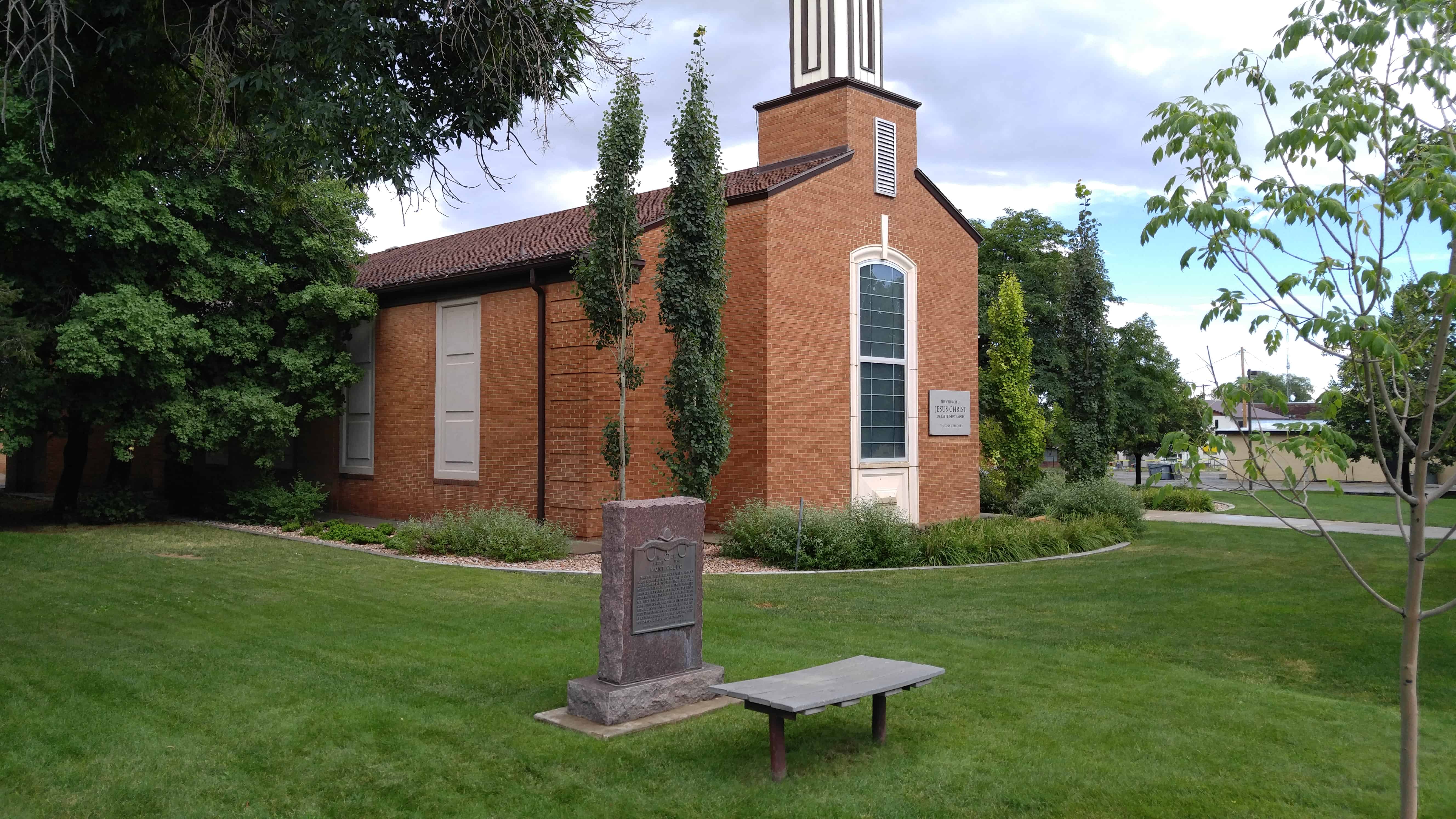
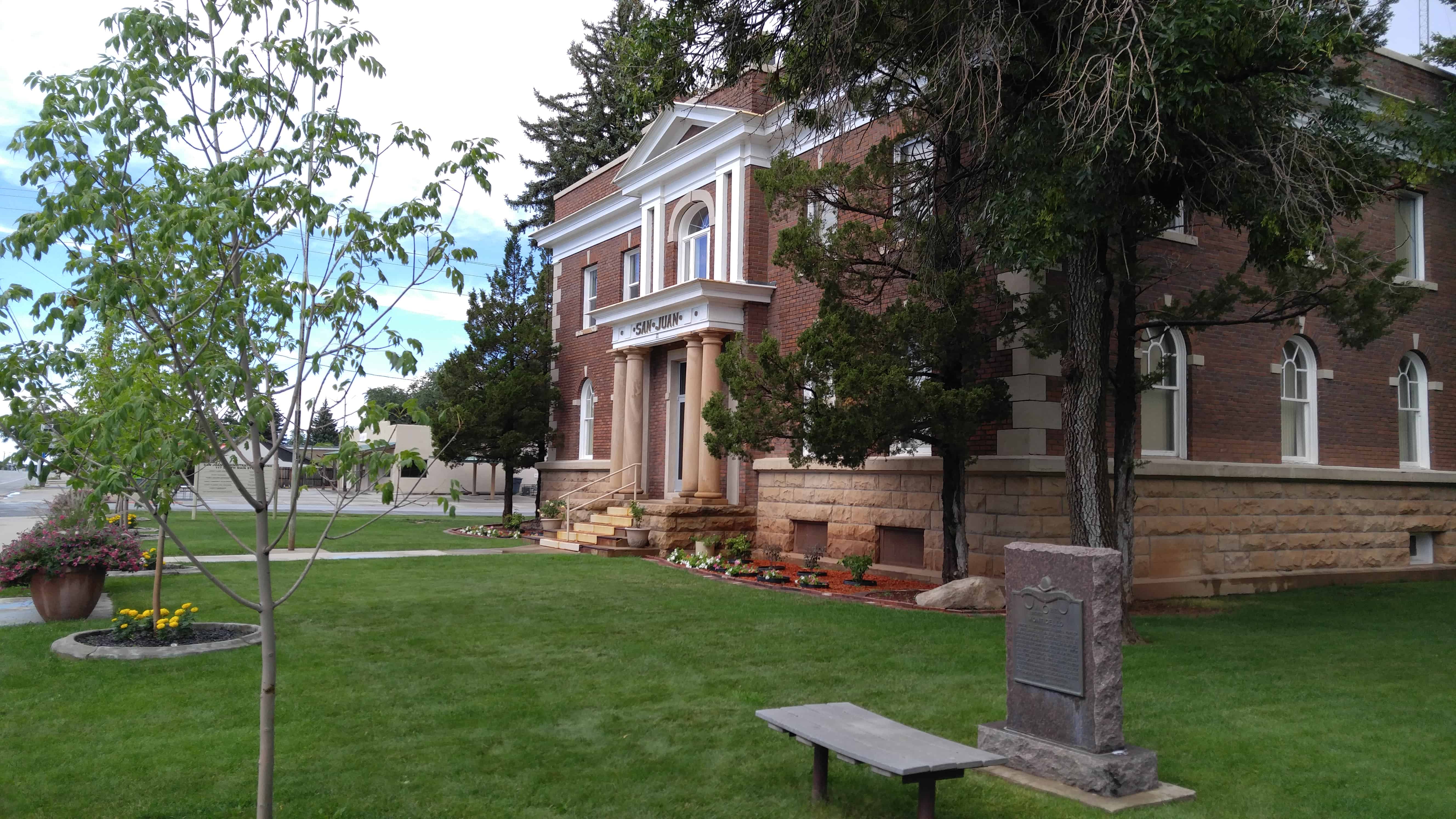
This is Daughters of Utah Pioneers historic marker #212 located at 165 South Main Street in Monticello, Utah

  • D.U.P. Historic Markers

Enterprise

30 Friday May 2014

Posted by Jacob Barlow in Uncategorized

≈ 1 Comment

Tags

DUP, Enterprise, historic, utah, Washington County

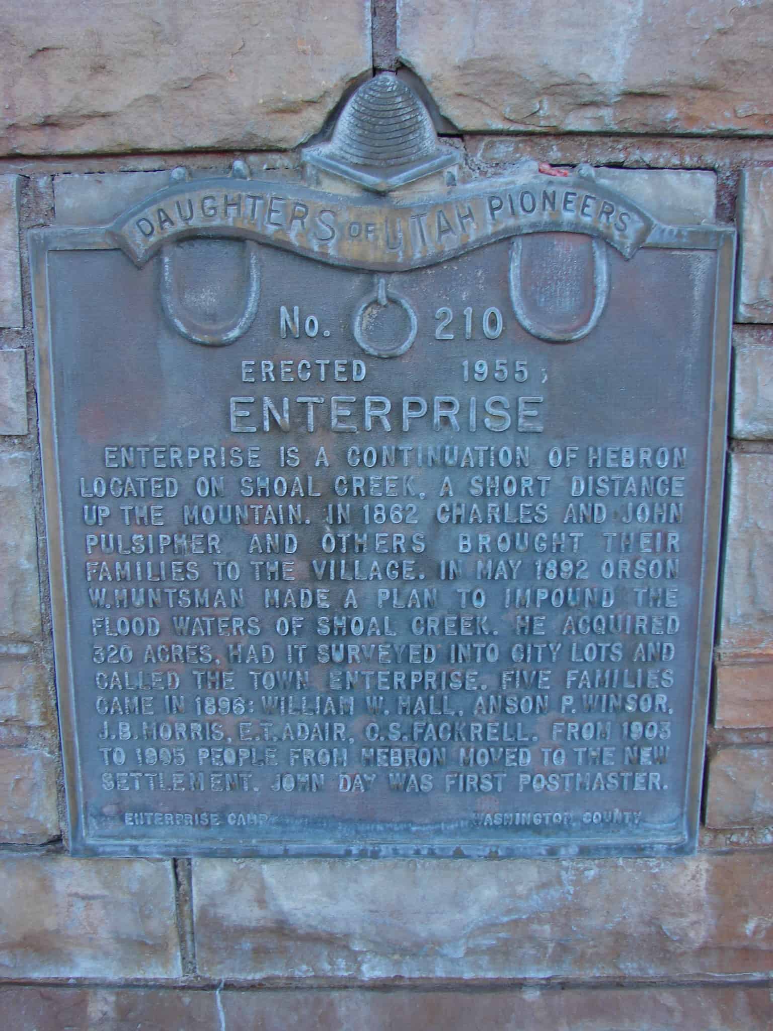
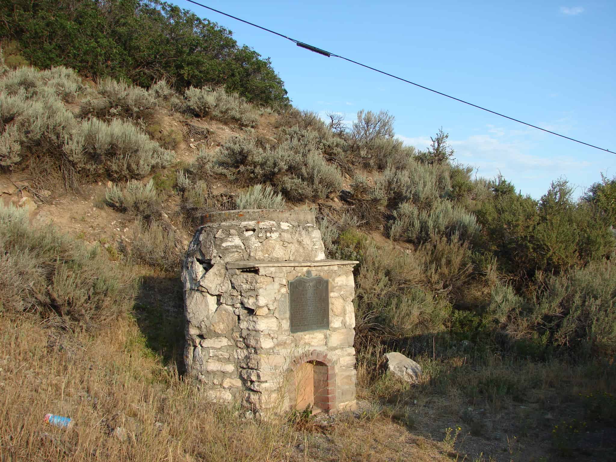
Enterprise is a continuation of Hebron, located on Shoal Creek, a short distance up the mountain. In 1862 Charles and John Pulsipher and others brought their families to the village. In May 1892 Orson W. Huntsman made a plan to impound the flood waters of Shoal Creek. He acquired 320 acres, had it surveyed into city lots and called the town Enterprise. Five families came in 1896, William W. Hall, Anson P. Winsor, J.B. Morris, E.T. Adair, C.S. Fackrell. From 1903 to 1905 people from Hebron moved to the new settlement. John Day was first postmaster.

picture01oct07-028
picture01oct07-027

Check out all of the historic markers placed by the Daughters of Utah Pioneers at JacobBarlow. com/dup

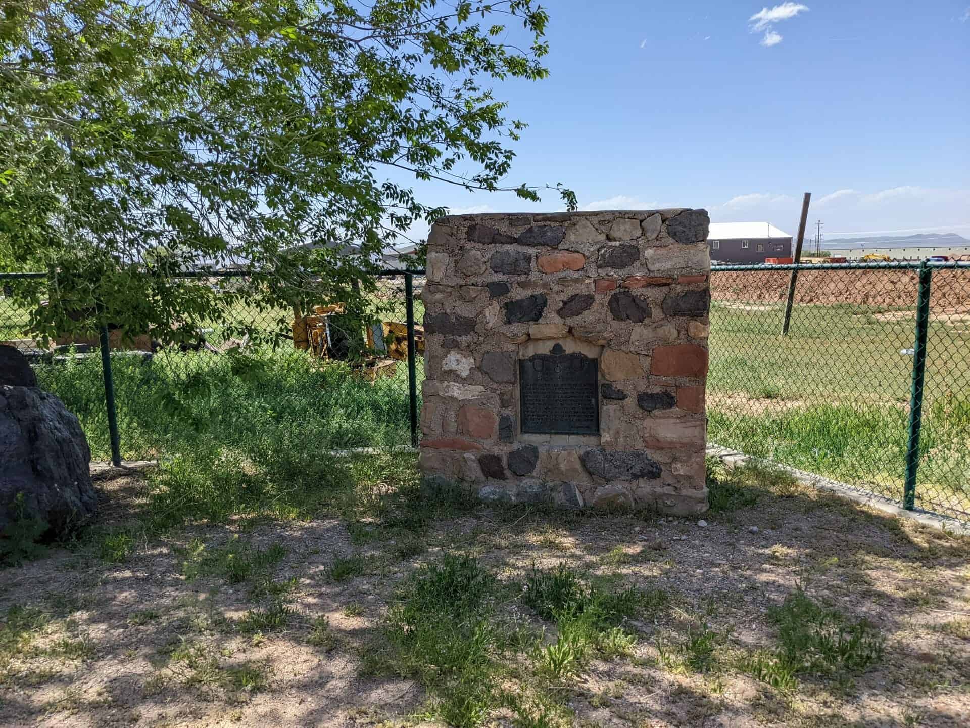
Lime Kiln

30 Friday May 2014

Posted by Jacob Barlow in Uncategorized

≈ 1 Comment

Tags

DUP, historic, Midway, utah, Wasatch County

  • picture291jul07-004

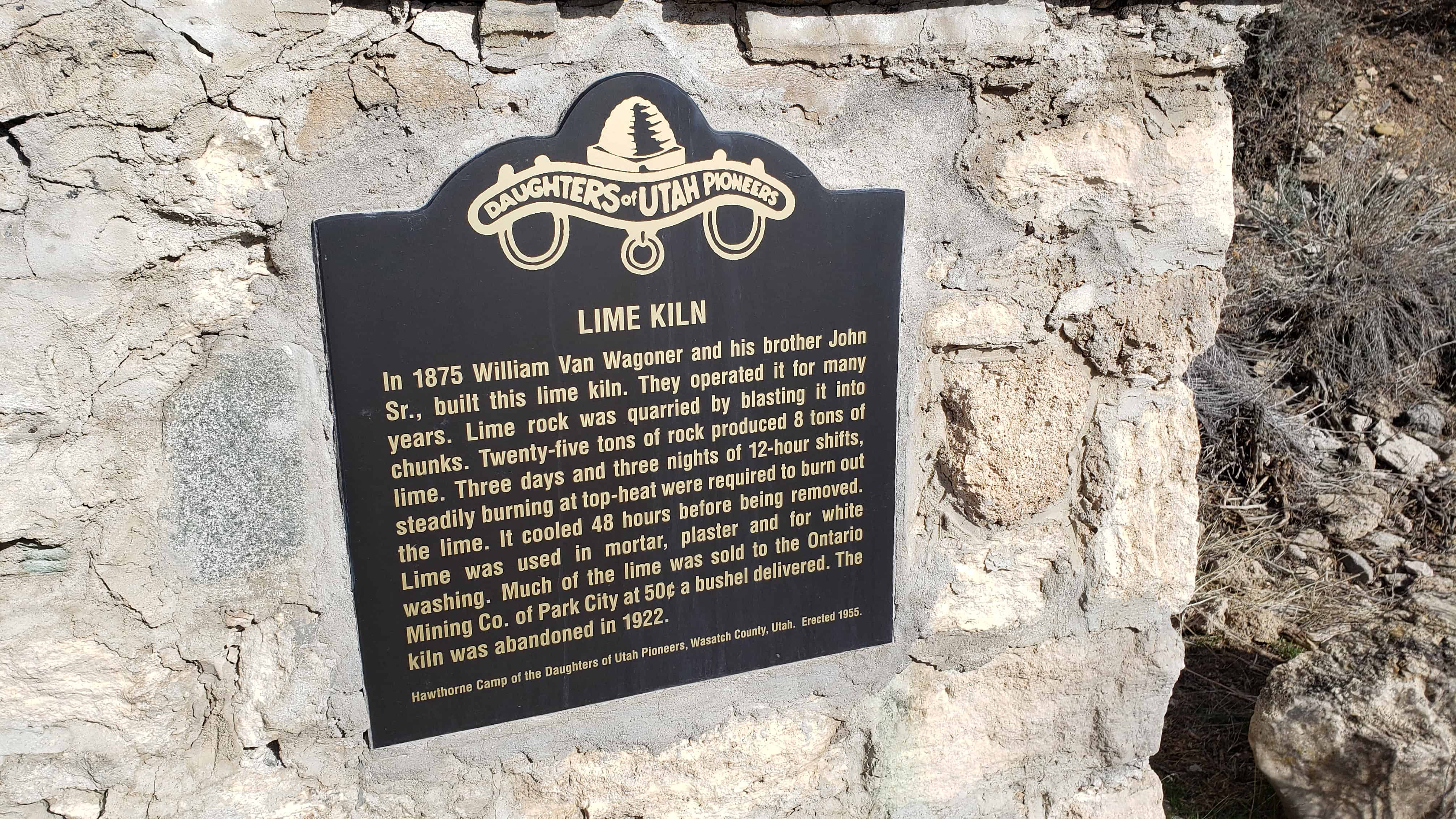
In 1875 William Van Wagoner and his brother John Sr. built this lime kiln. They operated it for many years. Lime rock was quarried by blasting it into chunks. 25 tons of rock produced eight tons of lime. Three days and three nights of twelve hour shifts steadily burning at top heat were required to burn out the lime. It cooled 48 hours before being removed. Lime was used in mortar, plaster, and for white-wash. Much of the lime was sold to Ontario Mining Company of Park City at fifty cents per bushel delivered. The kiln was abandoned in 1922.

Located in Midway, Utah

The above photos are from 2007, below are from 2021 and the 1955 plaque has been replaced.

Powell Survey

30 Friday May 2014

Posted by Jacob Barlow in Uncategorized

≈ 1 Comment

Tags

DUP, historic, Kanab, Kane County, utah

picture20sep08-015

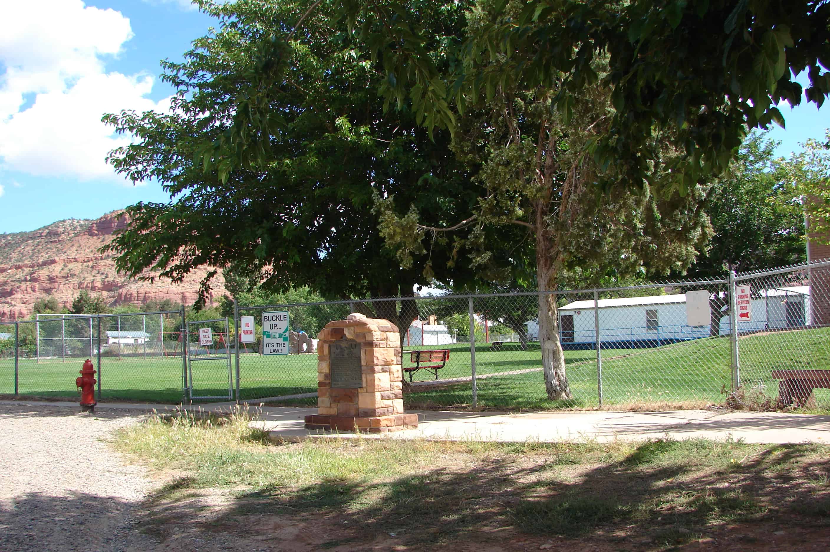
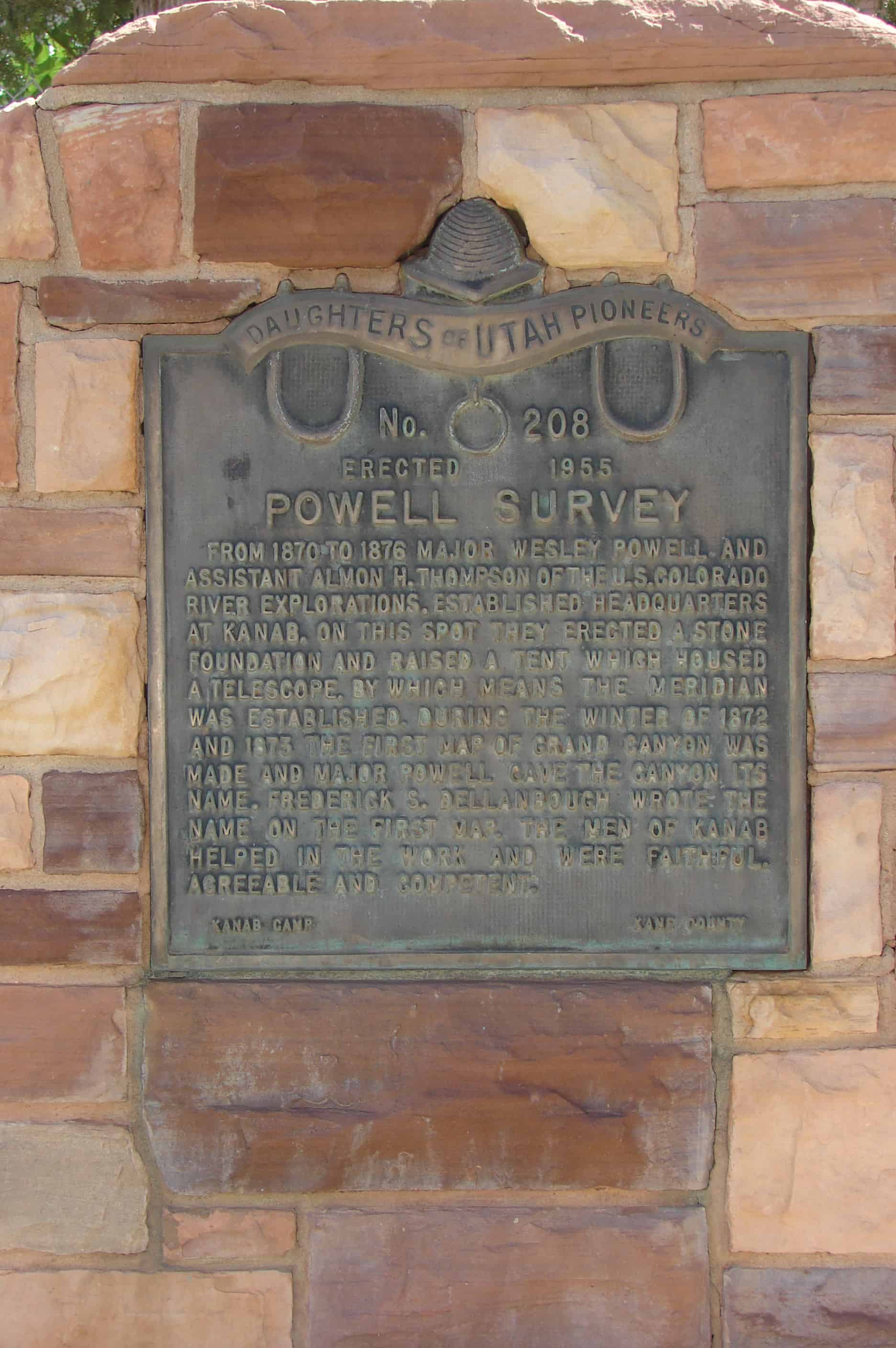
From 1870 to 1876 Major Wesley Powell and assistant Almon H. Thompson of the U.S. Colorado River Explorations, established headquarters at Kanab. On this spot they erected a stone foundation and raised a tent which housed a telescope by which means the meridian was established. During the winter of 1872 and 1873 the first map of Grand Canyon was made and Major Powell gave the canyon its name. Frederick S. Dellanbough wrote the name on the first map. The men of Kanab helped in the work and were faithful, agreeable and competent. Plaque B: (On back) PIONEER WORKMEN ON POWELL SURVEY George Adair, Frank Hamblin, Jacob Hamblin, Lyman Hamblin, Nathan Adams, Fred Hamblin, Joe Hamblin, Will Johnson, Charley Riggs, John Stewart, Brigham Young, John W. Young Paiutes who helped: Chuarumpeck, Kwagunt, Waytoose, Judge Tapeets
picture20sep08-014

ImageImage

Check out all of the historic markers placed by the Daughters of Utah Pioneers at JacobBarlow. com/dup

2017-03-05 10.53.35
2017-03-05 10.53.46
2017-03-05 10.53.51

Duchesne

30 Friday May 2014

Posted by Jacob Barlow in Uncategorized

≈ Leave a comment

Tags

Duchesne, Duchesne County, DUP, historic, utah

EARLY DUCHESNE SETTLEMENT

Explorers, trappers and traders, were here before Brigham Young sent a group in 1861 to prepare the way for Mormon colonization, but in October 1861 the U.S. government set apart Uintah Valley for an Indian Reservation. In 1905 a portion was opened for white settlement. June 6, 1905, A.M. Murdick, Daughter Dora, and Sugoosie Jack (Indian) with 52 men organized a town called Dora, later Theodore, then Duchesne. This bell was used for school, church, curfew, and as fire alarm for many years

ImageImage

Check out all of the historic markers placed by the Daughters of Utah Pioneers at JacobBarlow. com/dup

← Older posts

Follow Jacob

Follow Jacob

Blog Stats

  • 2,079,601 hits

Social and Other Links

BarlowLinks.com

Recent Posts

  • West and East Mitten Buttes
  • “Hole-In-The-Rock” Crossing
  • Site of the Old Provo High School
  • Hole-in-the-Rock Arch
  • Lee’s Ferry

Archives

Loading Comments...