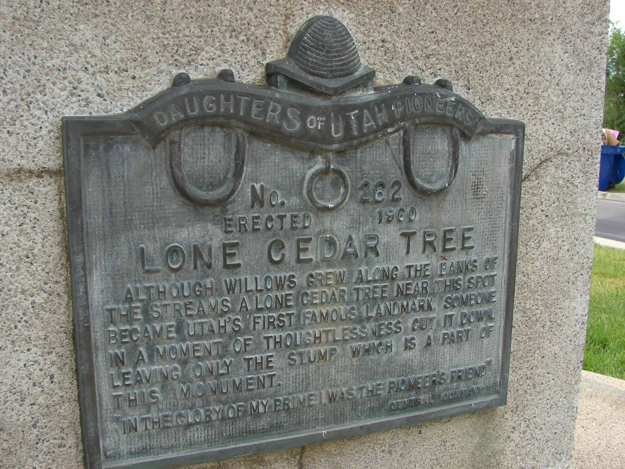
Plaque A: LONE CEDAR TREE Although willows grew along the banks of the streams a Lone Cedar Tree near this spot became Utah’s first famous landmark. Someone in a moment of thoughtlessness cut it down, leaving only the stump which is a part of this monument. “In the glory of my prime I was the pioneer’s friend.” Central Co.
Plaque B: THE CEDAR TREE SHRINE Erected July 24, 1933 by Daughters of Salt Lake County The street to the north was originally Emigration Road- the only approach from the east. Over this road the pioneers of 1847 and subsequent years entered the valley of the Great Salt Sea. They found growing near this site a lone cedar and paused beneath its shade. Songs were sung and prayers of gratitude offered by those early pilgrims. Later the cedar tree became a meeting place for the loggers going to the canyons. Children played beneath its branches. Lovers made it a trysting place. Because of its friendly influence on the lives of these early men and women we dedicate this site to their memory.


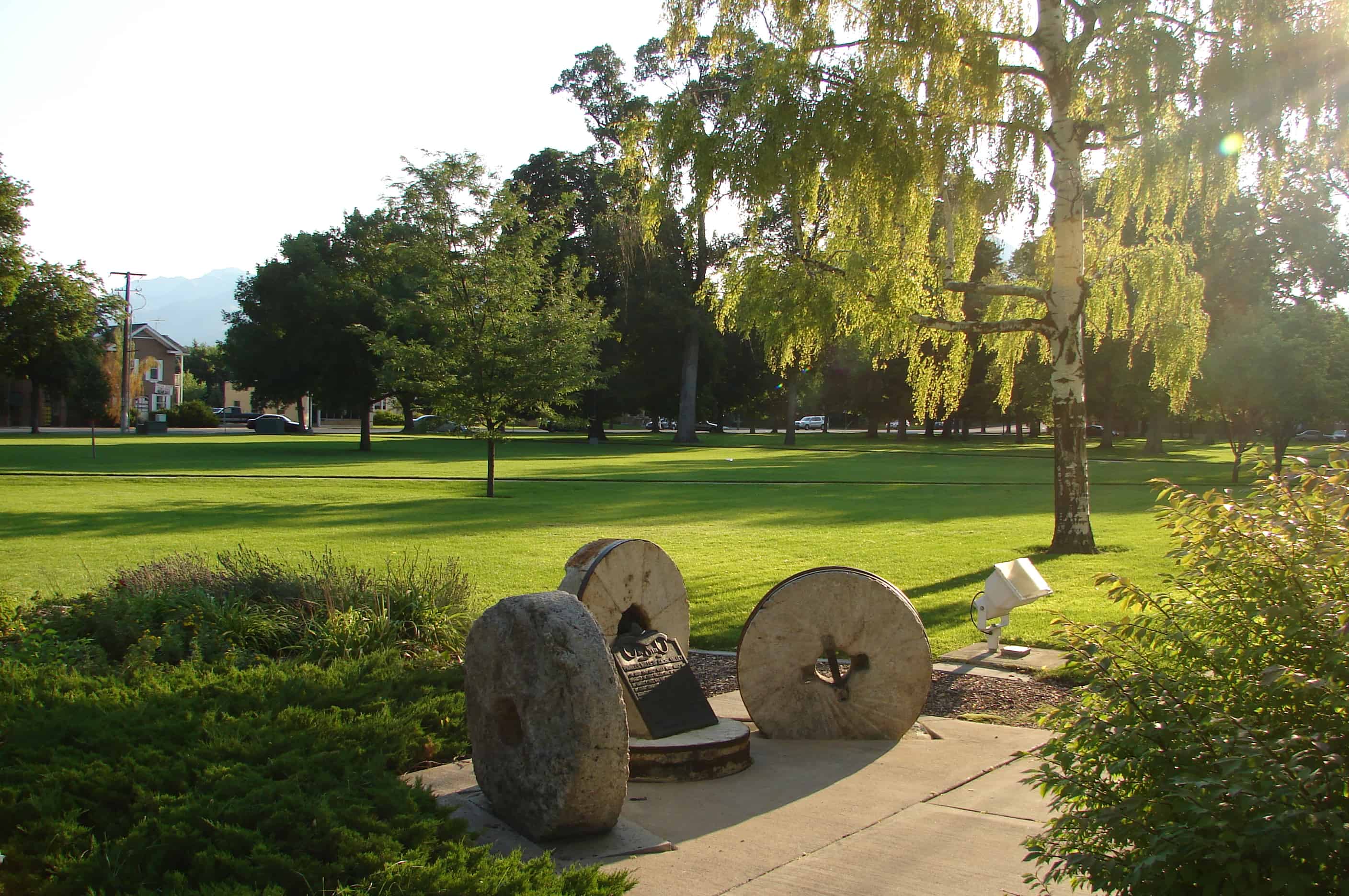
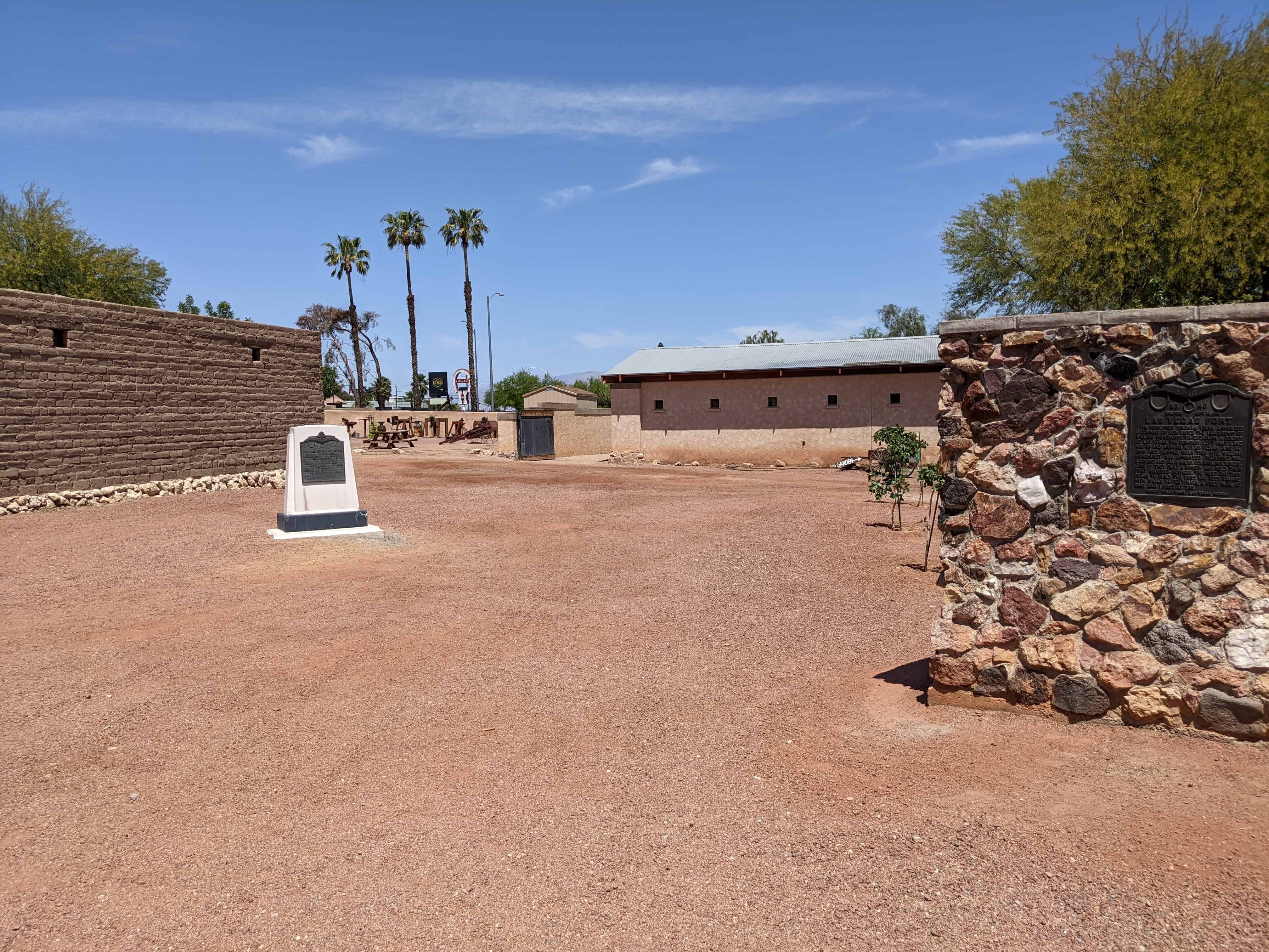
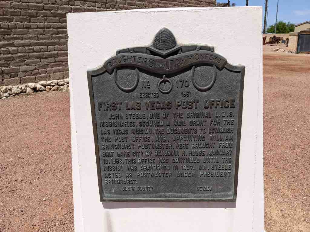
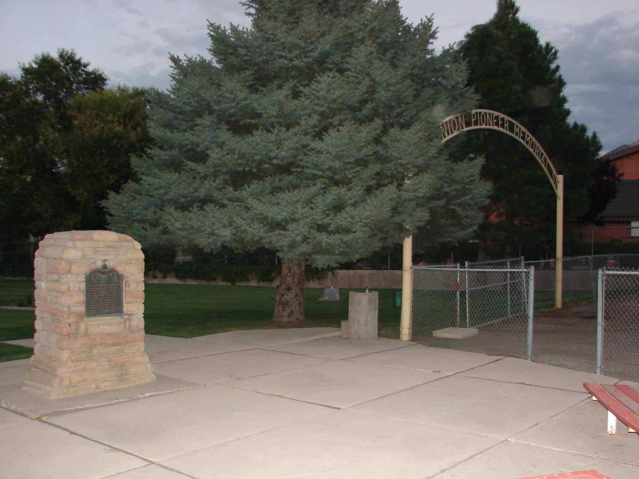
Check out all of the historic markers placed by the Daughters of Utah Pioneers at JacobBarlow. com/dup


Below: a 1940 photo I saw shared on facebook and photos I took in 2007 and 2019 to show changes in the area.


Photos from 2021: